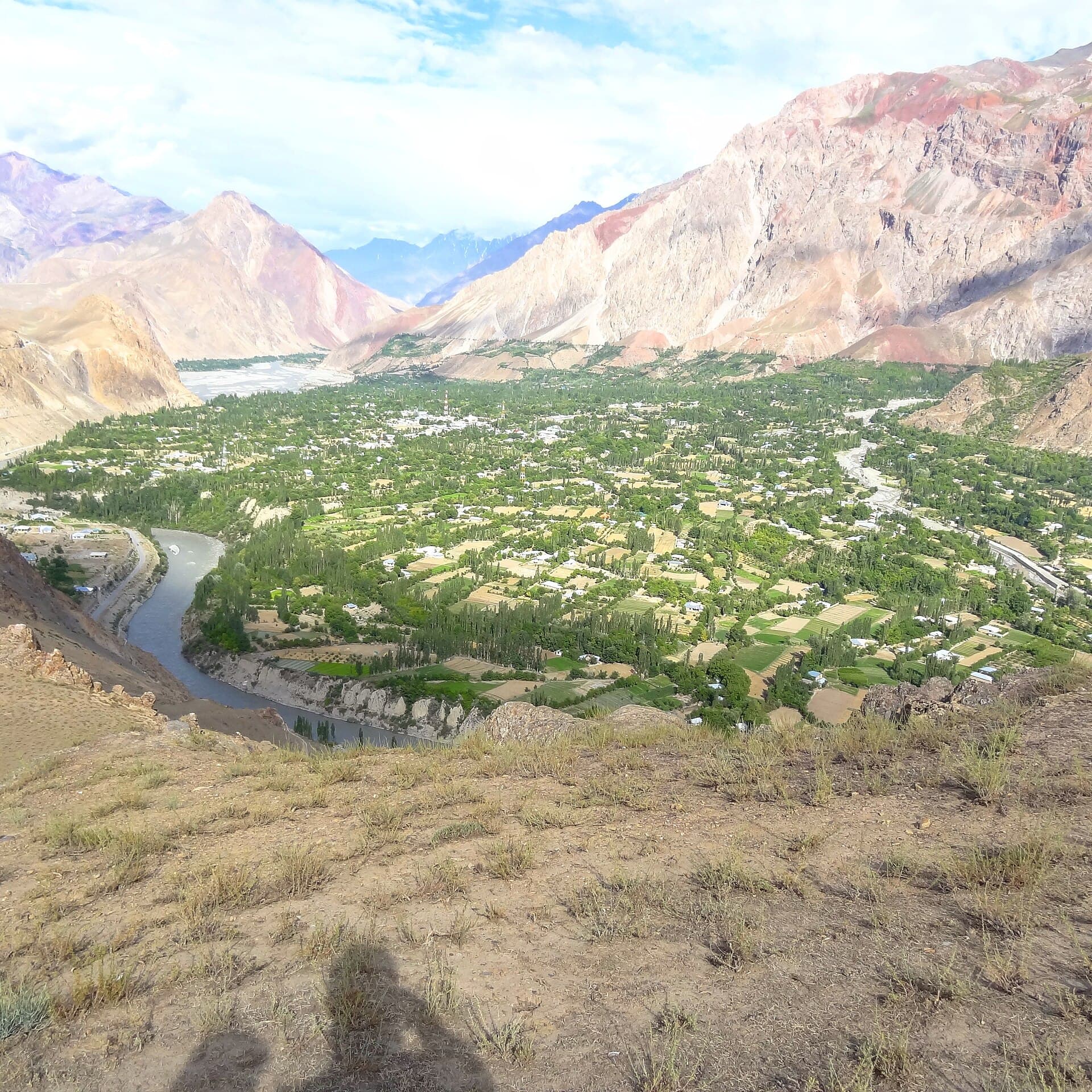
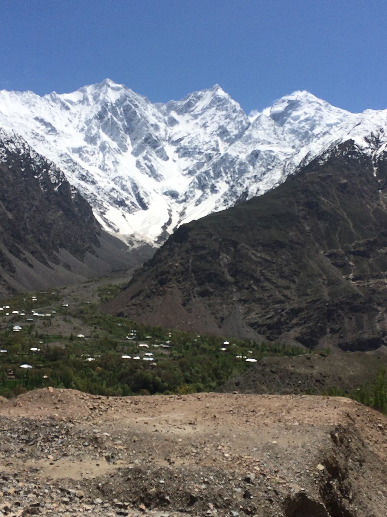
 Photo: Haris akhon · CC BY-SA 4.0
Field guides / Khyber Pakhtunkhwa / Upper Dir / Kumrat Valley
Field guide · Nature
Upper Dir
Upper Dir District · Khyber Pakhtunkhwa, Pakistan
Kumrat Valley
An Upper Dir valley of deodar forest, riverside meadows, and rough mountain roads reached through the town of Thal.
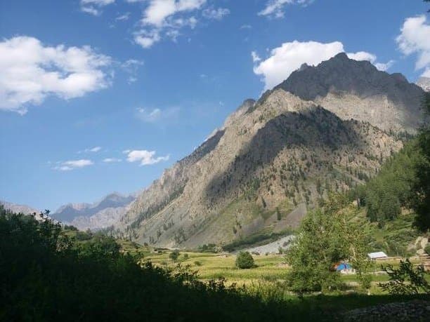
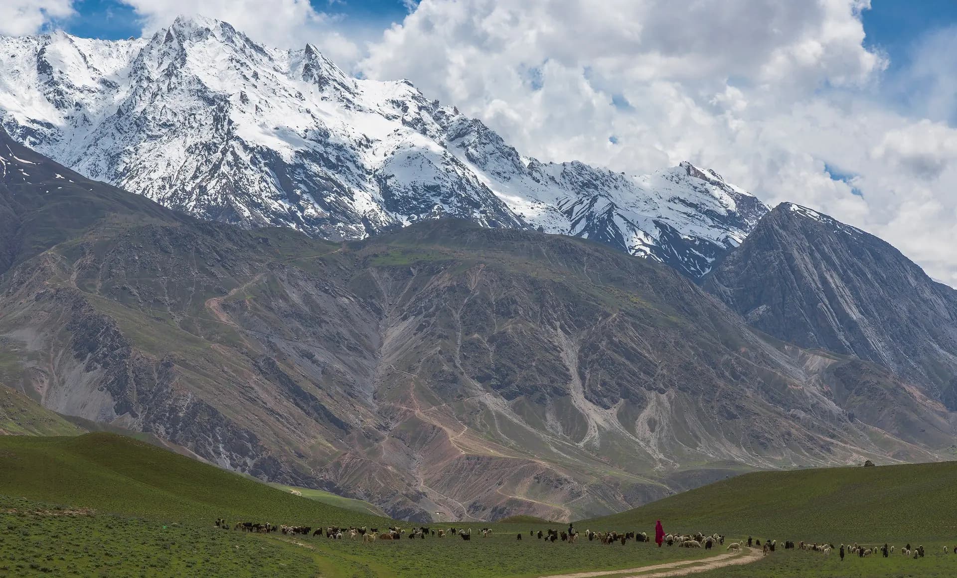
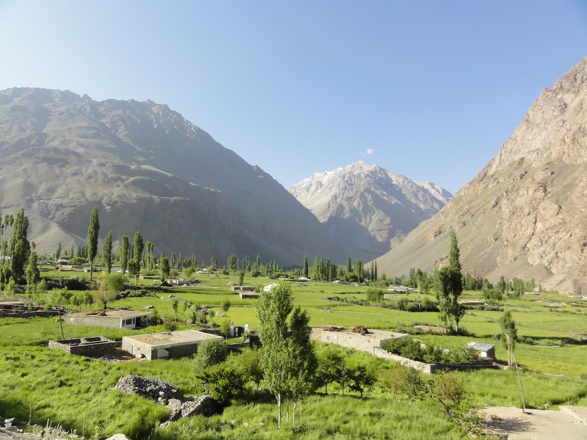
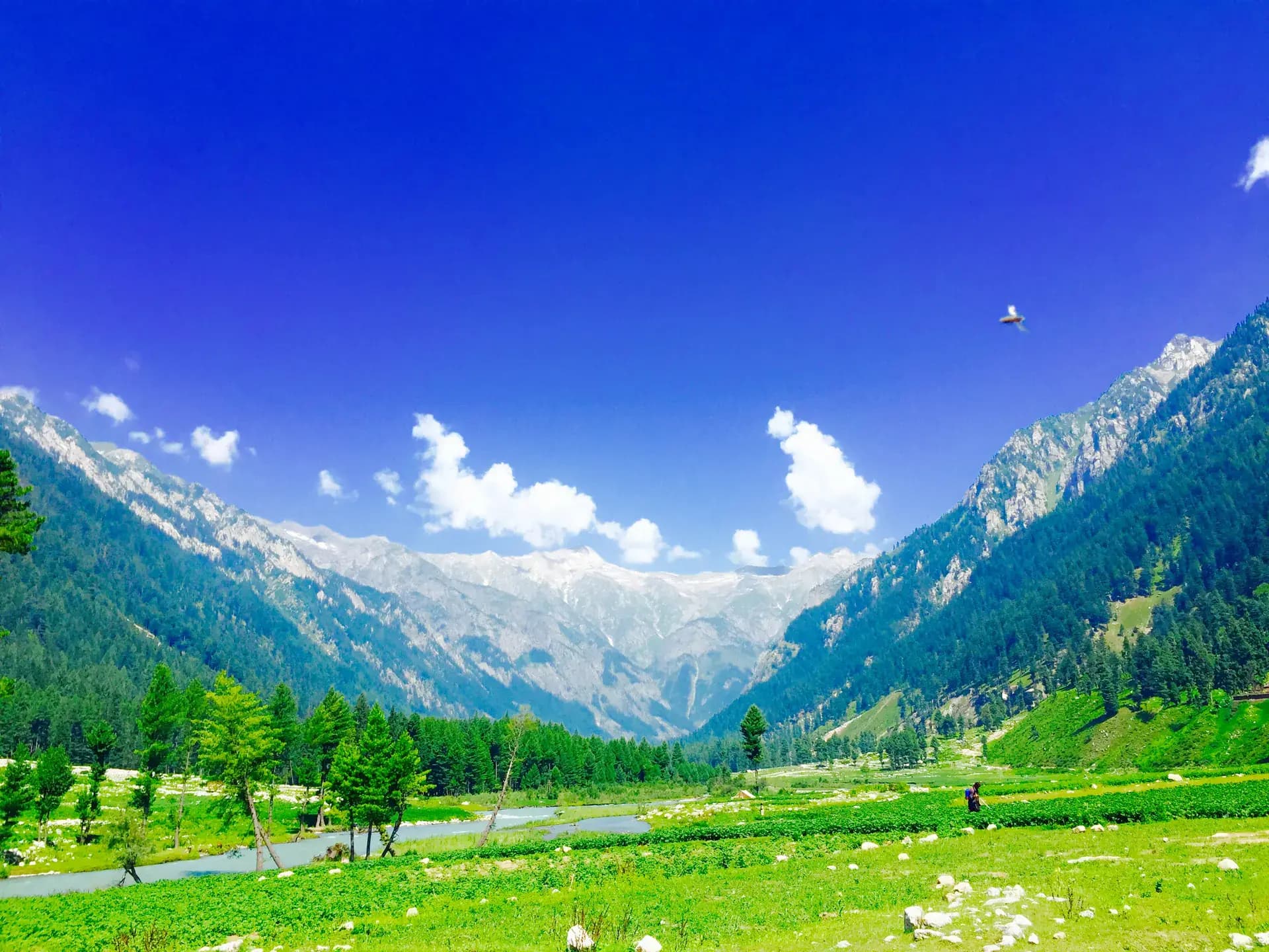
Kumrat is a broad mountain valley in Upper Dir where the Panjkora River runs beside deodar forest, grazing ground, and seasonal camps. It deserves its own record: Thal is the gateway town, while Jahaz Banda, Katora Lake, Dojanga, and the upper trekking routes are separate places and excursions rather than alternative names for Kumrat.
Why go
- ✦Deodar forest and riverside meadows
- ✦Panjkora River landscapes
- ✦Independent identity from Jahaz Banda and Katora Lake
- ✦Camping and short forest walks
Keep the Valley and Its Excursions Separate
Kumrat is the destination corridor reached from Thal. Jahaz Banda is a high meadow approached on a different branch, Katora is a trekking lake above it, and Dojanga lies farther up the Kumrat road. Treating them as individual records produces better maps, safer directions, and more realistic itineraries.
Road Conditions Define the Journey
The final road is slow and can deteriorate after rain, snowmelt, or heavy traffic. Use a locally suitable vehicle, avoid promising fixed transfer times, and keep daylight in hand for the last section.
Camp with a Light Footprint
Use established sites, carry waste back toward serviced settlements, avoid cutting live wood, and keep camps away from river channels that can rise quickly.
Planning tip
Best Time to Visit, Late spring to early autumn, after snow and rain allow the upper road to reopen. Confirm road and river conditions locally before travelling.
Getting there, Travel through Upper Dir to Thal, then continue by a suitable local jeep on the rough valley road. Journey times vary sharply with weather, traffic, and road repairs.
Allow, Two nights gives enough time for the central valley; add separate days for upper-valley drives or longer treks.
What to Do
Nearby
Straight-line distance from Kumrat Valley, within 5 km.
Nothing else genuinely close by (within 5 km of Kumrat Valley) is published yet.