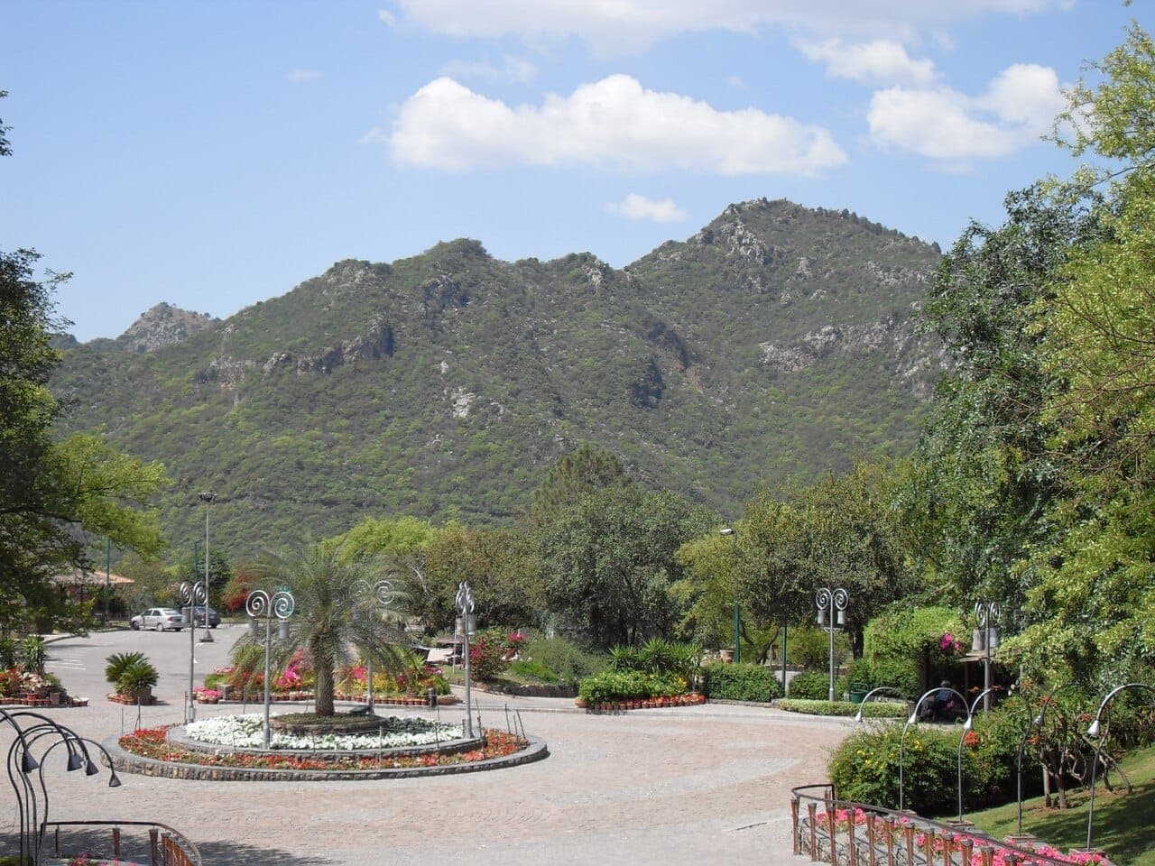
Margalla Hills National Park · Islamabad
Trail 3
The best known climb out of Islamabad — steep, sustained, and busy from first light at weekends.
- Official-source verified· Capital Development Authority
- Last checked 19 August 2026
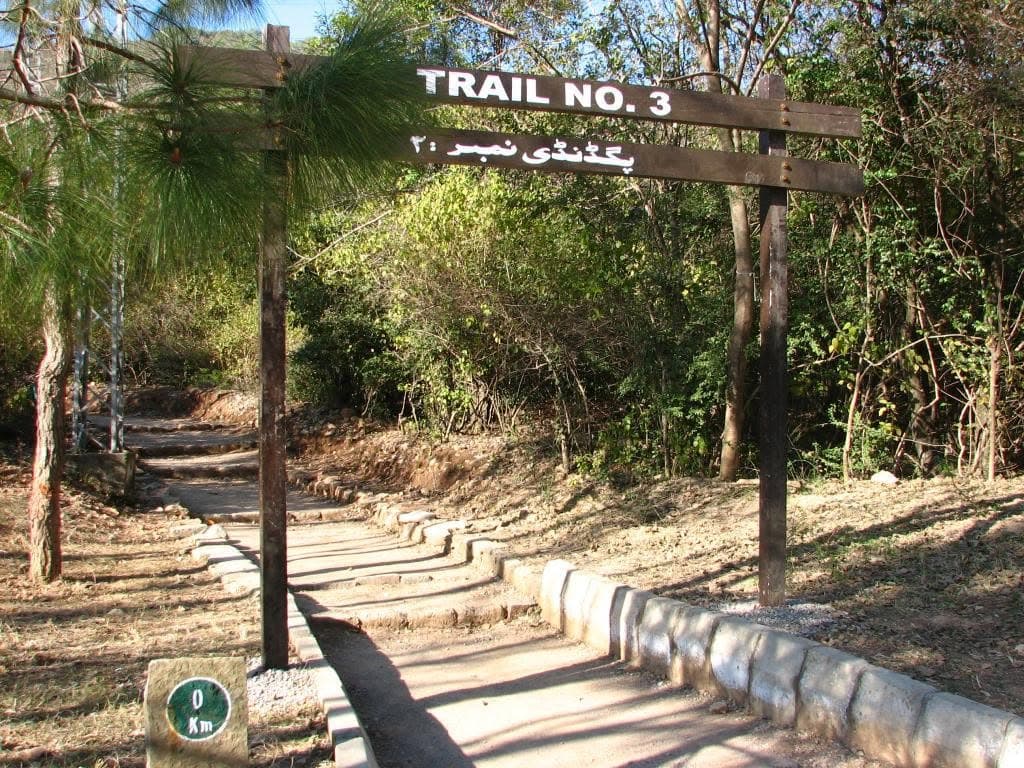
The Trail 3 trailhead gate on Margalla Road, with the trail's 0 km marker at its foot.
Trail Status
Check before you go
GreenPak has not confirmed this trail's current status with the responsible authority. Access can change with weather, wildlife and local restrictions, so ask locally before you set out.
Overview
Trail 3 is the oldest and most used hiking route in Islamabad, starting from Margalla Road in Sector F-6 and climbing to the Pir Sohawa road above the city. The Capital Development Authority breaks the walk into two parts: roughly thirty to fifty minutes up to a viewpoint, and a further forty-five minutes to an hour from there to Pir Sohawa.
The authority describes it as challenging because of the steep hills, and that is the honest summary — it is a genuine ascent rather than a walk in a park, and the lower section does most of the climbing.
Difficulty & Stats
GreenPak difficulty
Challenging
Steep, sustained climbing · uneven ground · a real ascent straight out of the city
GreenPak difficulty 4 of 5: Challenging. Long or steep, on rough ground, with sections that need care and a good level of fitness. Steep, sustained climbing · uneven ground · a real ascent straight out of the city.
- Typical time
- 1 hr 15 min – 1 hr 50 min
- Route type
- Point to point
Derived from the Capital Development Authority's own published segment times (30–50 minutes to the viewpoint, then 45–60 minutes to Pir Sohawa)
Finishes somewhere other than the start — plan the return.
What Makes It That Grade
- Steepness 4 / 5How hard the climbing is at its worst.
Why We Rated It This Way
The Capital Development Authority describes Trail 3 as challenging because of its steep hills, and publishes a climb of over an hour to reach the Pir Sohawa road. GreenPak places it at 4 — Challenging — on that basis. It is an editorial judgement against the authority's wording, not a calculated score: no verified distance, gradient or elevation-gain figure exists for this trail.
No elevation profile is shown because no surveyed elevation data has been published for this trail. When one is recorded it will appear here.
Trail Map
The line follows the route as it has been surveyed; the numbered points are the places worth knowing about along it. Every fact on this page is also written out — the map is never the only place a detail appears.
Route line © OpenStreetMap contributors (ODbL) · OpenStreetMap — community-mapped, not verified against a park authority
What to Expect
Viewpoints
- The viewpoint above the lower switchbacks
- Pir Sohawa road
Getting There
Margalla Road, Sector F-6
The Capital Development Authority names Margalla Road in Sector F-6 as the start of the trail.
Open the trailhead
Google Maps ↗Before You Set Out
The Capital Development Authority publishes hiking guidance for the Margalla trails. The points below restate that guidance; anything specific to one trail is shown on that trail's own page.
Stay on the marked track
Follow the marked route for the whole walk, and follow the signs, notices and directions posted along it.
Walk with someone
Going with at least one other person is advised, and it matters most on the quieter trails where you may not pass anyone for a long stretch.
Carry enough water
In hot weather the guidance is one litre for every hour you expect to be walking or climbing — carried with you, and drunk as you go.
Dress for the hill
Sturdy rubber-soled shoes or boots, a hat that will stay on, a long-sleeved shirt and sunscreen.
Time it around the heat
When it is very hot, walk only in the coolest part of the day.
Know when not to go
The authority advises against climbing or attempting a strenuous walk if you have high or low blood pressure, a heart condition or a breathing condition, or if you are not reasonably fit.
If something goes wrong
If you become unwell or are injured, stay where you are and get word to someone who can arrange help rather than pressing on.
Hiking guidance published for the Margalla Hills trails — Capital Development Authority. Checked 19 August 2026.