

Field guides / Khyber Pakhtunkhwa / Babusar Top
Field guide · Nature
Babusar Top
The 4,173 m mountain pass linking the Kaghan Valley to the Karakoram Highway, open only in the short summer season.
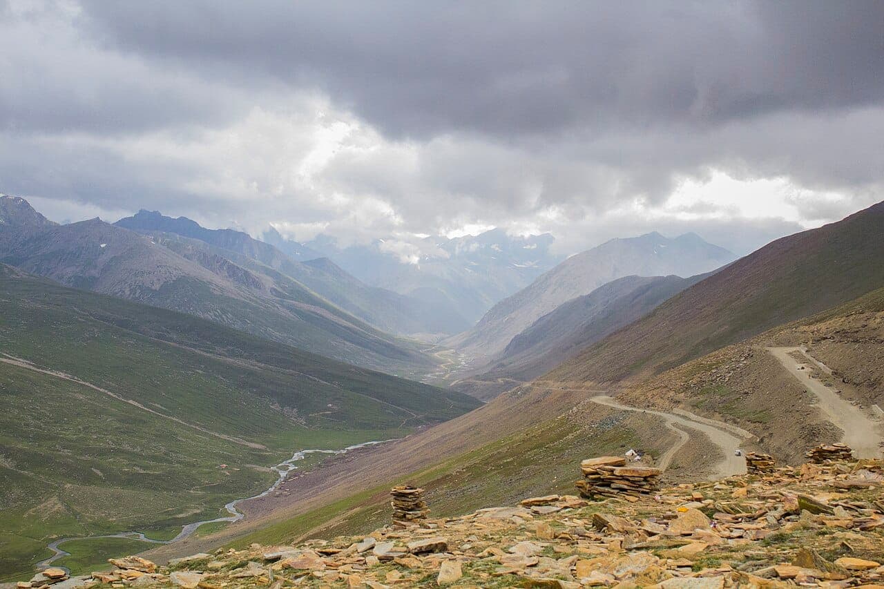
Babusar Top is the 4,173 m pass that links the Kaghan Valley to the Karakoram Highway near Chilas, a short, dramatic summer-only crossing with views across to Nanga Parbat in clear weather.
Why go
- ✦4,173 m mountain pass
- ✦Naran-KKH link
- ✦Nanga Parbat views
- ✦Summer-only crossing
On the Ground
The top is windswept and cold even in summer, stop for photos and tea, not long walks, unless you are acclimatised. Weather changes fast; an early crossing is safer and clearer.
A Natural Transit
Babusar is most rewarding as the bridge between the Kaghan Valley and the north: Naran one side, the Karakoram Highway and Gilgit-Baltistan the other. It turns two regions into one overland journey.
Plan It with GreenPak
Use Plan a trip to route Babusar into a north loop, Naran and Saiful Muluk below, Chilas, Fairy Meadows, and Hunza beyond.
Planning tip
Best Time to Visit, July to September, when the pass is reliably clear of snow. It closes for much of the year.
Getting there, Drive up from Naran over the pass and down to Chilas on the KKH. Many travellers cross it as the scenic link between Kaghan and Gilgit-Baltistan.
Allow, A few hours at the top; a full day as part of a Naran-to-Chilas transfer.
What to Do
Nearby
Straight-line distance from Babusar Top, within 5 km.
Nothing else genuinely close by (within 5 km of Babusar Top) is published yet.