
Field guides / Islamabad Capital Territory / Islamabad / Daman-e-Koh
Field guide · Nature
Islamabad
Islamabad District · Islamabad Capital Territory, Pakistan
Daman-e-Koh
A hilltop viewpoint in the Margalla Hills above Islamabad, the best panoramic overlook of the capital's boulevards, Faisal Mosque, and the Potohar plateau beyond.
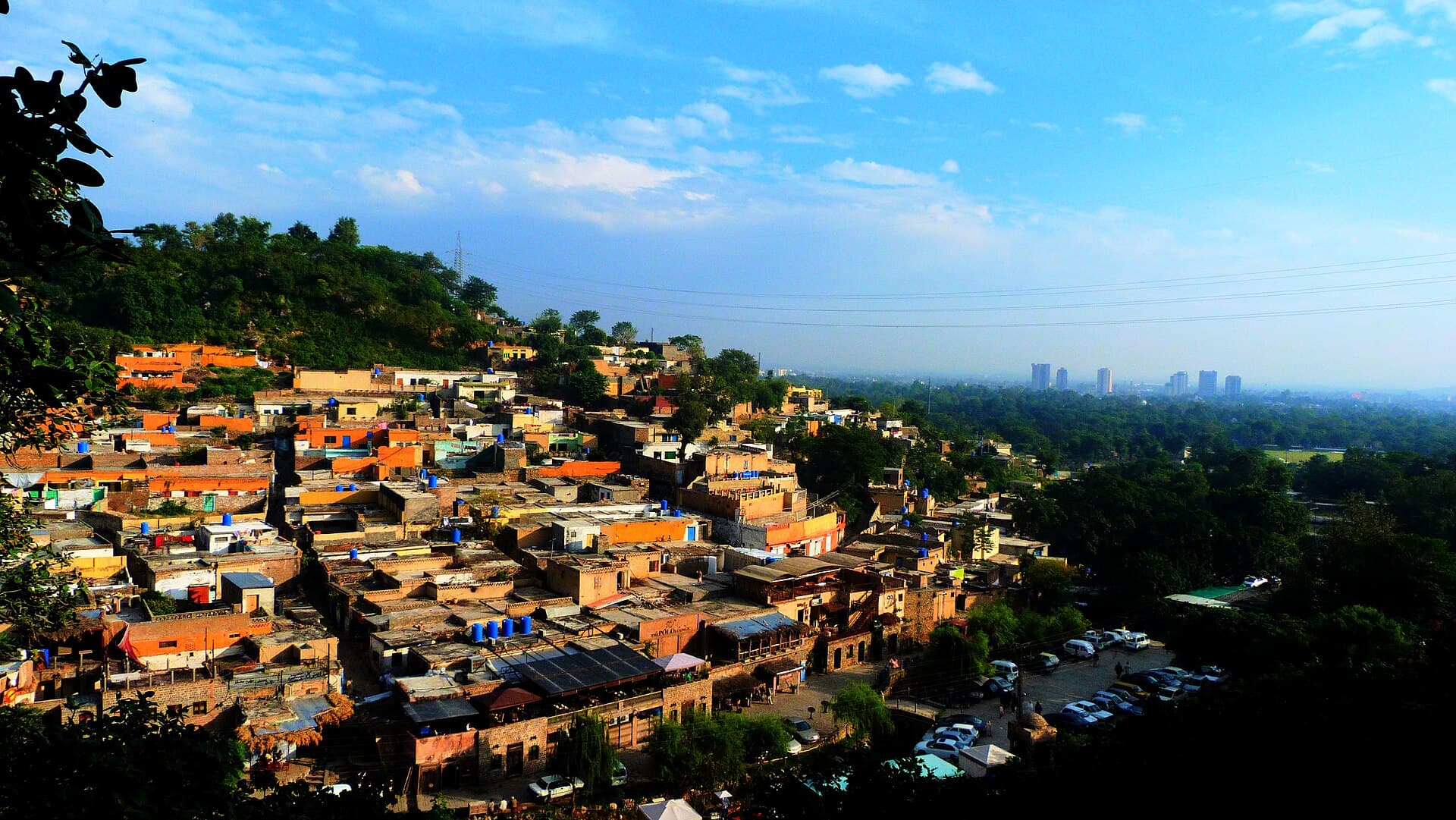
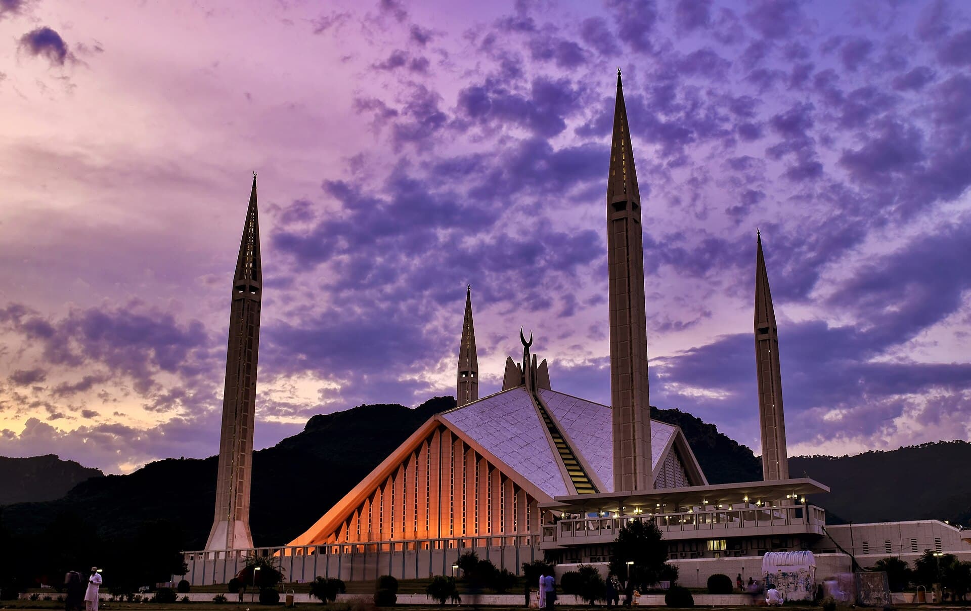
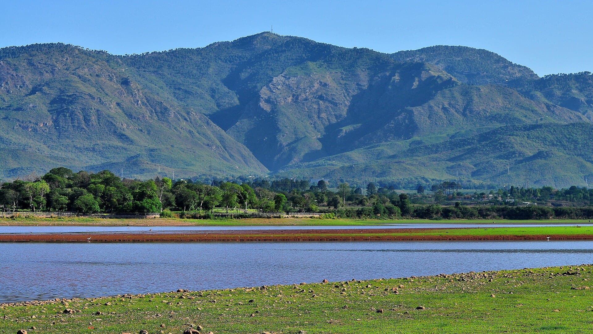
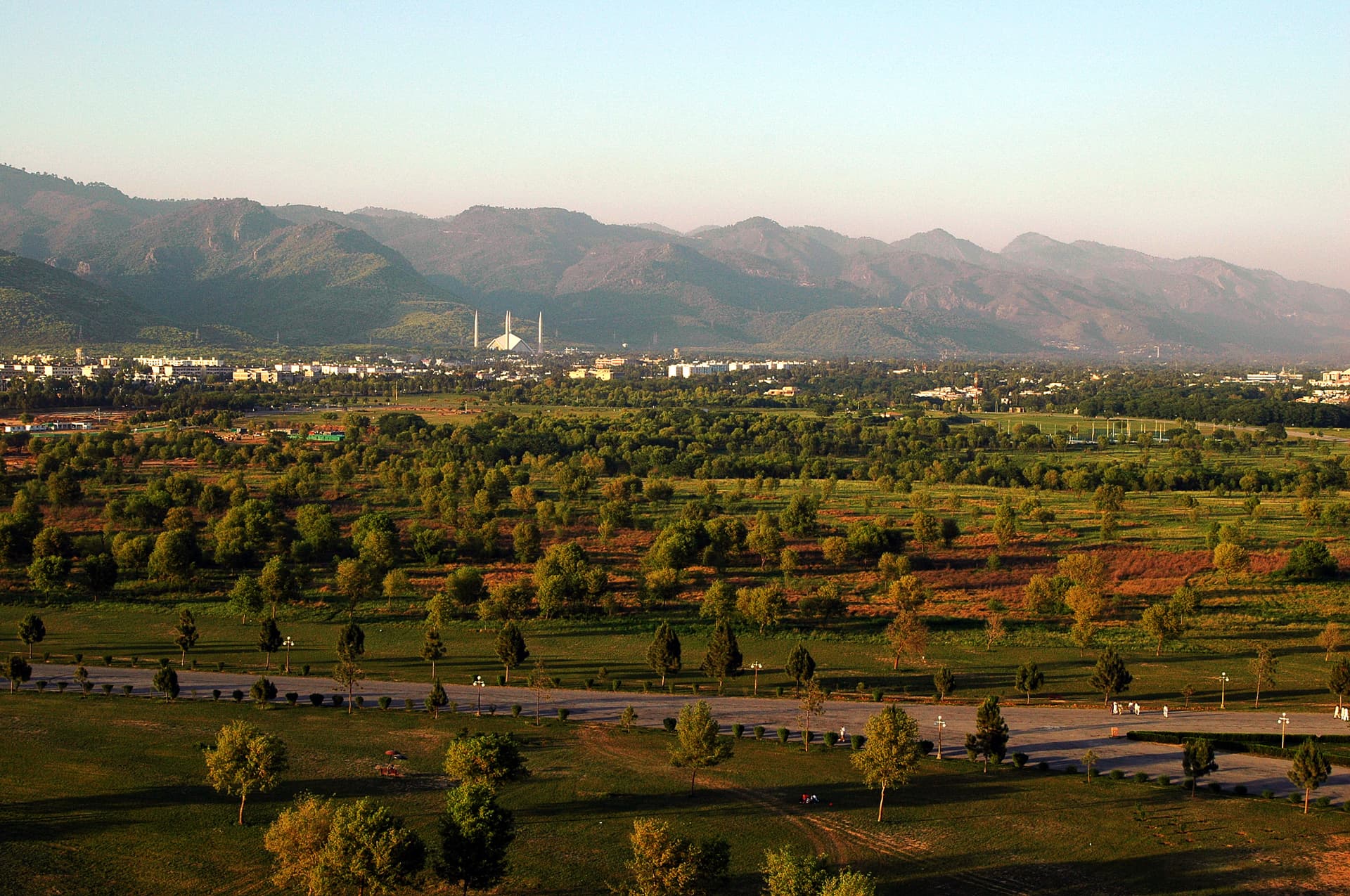
Daman-e-Koh, 'hem of the mountain', is the best-known viewpoint in the Margalla Hills: a hilltop garden at about 731 m, some 150 m above Islamabad, on the road to Pir Sohawa. From its terraces the capital's green grid spreads below, with Faisal Mosque, Seventh Avenue and Rawal Lake in view, and on clear days the Potohar plateau beyond.
Quick facts
- Where
- Margalla Hills National Park, Islamabad
- Altitude
- About 731 m, some 150 m above the city
- From Blue Area
- About 20 minutes by car
- On foot
- Margalla Trail 2, about 1–1.5 hours
- Views
- Faisal Mosque, Seventh Avenue, Rawal Lake
- Best time
- Clear winter mornings and sunset
Why go
- ✦Best 360° city panorama in Islamabad
- ✦Faisal Mosque from above
- ✦Margalla Hills trail access
- ✦Evening light on the Potohar plateau
About
Daman-e-Koh is run by the Capital Development Authority, which has added observation telescopes, a large map of Islamabad, electric shuttle vehicles and a bigger car park. It is the city's balcony, busy with families at weekends and walkers in the early morning, and the natural partner of Saidpur Village just below.
Geography and Surroundings
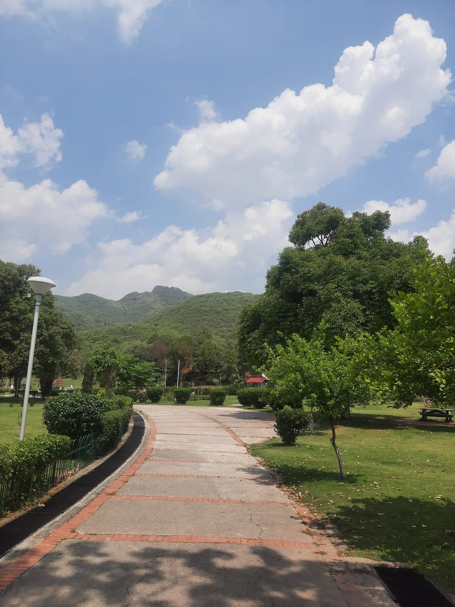
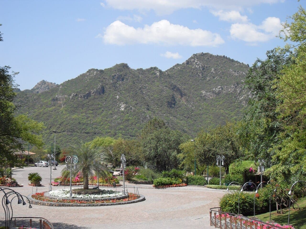
The viewpoint sits in the centre of the Margalla Hills on Pir Sohawa Road, which climbs on to Pir Sohawa at about 1,097 m. Walkers can also reach it on foot by Trail 2 from the Islamabad side. The hills are part of Margalla Hills National Park.
What Visitors Will See
- Islamabad's green grid laid out below
- Faisal Mosque, Seventh Avenue and Rawal Lake from the southern terrace
- Telescopes and a large map of the city
- Margalla forest on the slopes around
- Monkeys near the food stalls (do not feed them)
Why Visit
No other place shows how Islamabad was planned as clearly as Daman-e-Koh. Come at golden hour or on a clear winter morning, then walk or drive down to Saidpur Village for dinner.
Climate and Seasons
Year-round. November to February brings the clearest air for long views; summer sunsets are warm and busy; late October turns the forest amber.
How to Reach
Drive up Pir Sohawa Road from the Islamabad side, about 20 minutes from the Blue Area by car or ride-hailing; the road is narrow and winding, so weekend traffic can be slow. On foot, Trail 2 climbs to the viewpoint in about an hour to an hour and a half.
Responsible Travel
Don't feed the monkeys: tourist food draws them to the terraces. Keep litter in the bins or take it home, and stay on paths when walking in the national park.
Interesting Facts
- Stands at about 731 m, roughly 150 m above Islamabad
- Its name means 'hem of the mountain'
- Reached on foot by Margalla Trail 2
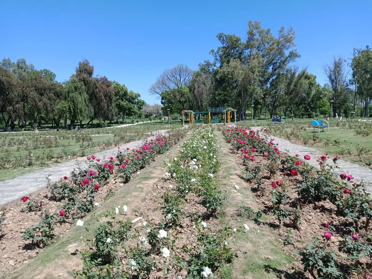
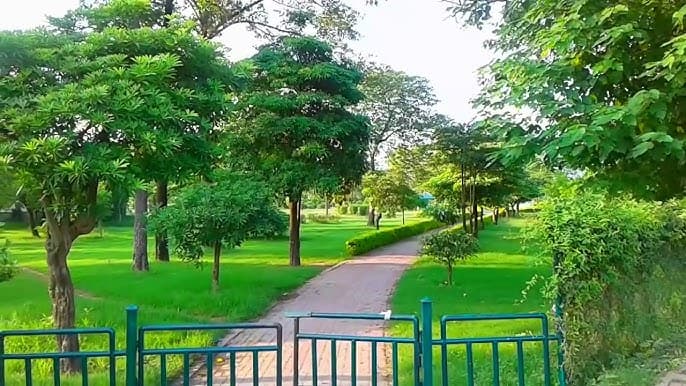
Daman-e-Koh in pictures
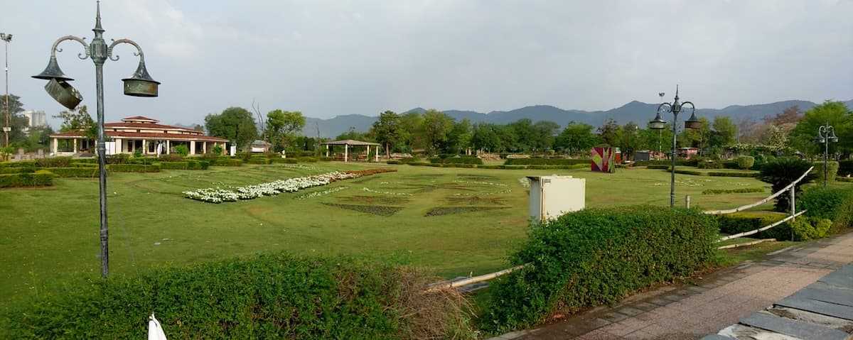
Photos: Azam Ishaque · CC BY-SA 3.0 · Fraz.khalid1 · CC0 · Mohammad furqan · CC BY-SA 4.0 · Kazimhussain77 · CC BY-SA 3.0 · Obaid747 · CC BY-SA 3.0 · Muzammil.abbas94 · CC BY-SA 4.0 · Tore Urnes from Oslo, Norway · CC BY 2.0 · Khurram Abbas · CC BY-SA 4.0. Each photo's own credit and licence link is shown when you open it.
Planning tip
Best Time to Visit, Year-round. Winter mornings (November to February) give the clearest air and best long-range views. Summer sunsets are spectacular. The Margalla forests turn amber in late October.
Getting there, 8 km from Blue Area via the Margalla Road, a 20-minute drive or short ride-share from anywhere in Islamabad. Taxis and rickshaws available from F-6/F-7.
Allow, 1-2 hours for views and a chai. Combine with Saidpur Village (5 minutes by road) for a longer half-day.
What to Do
Questions travellers ask
+Where is Daman-e-Koh?
In the Margalla Hills above Islamabad, on Pir Sohawa Road, about 20 minutes by car from the Blue Area.
+Can you walk to Daman-e-Koh?
Yes, Margalla Trail 2 climbs from the Islamabad side to the viewpoint in about an hour to an hour and a half.
+What can you see from Daman-e-Koh?
Islamabad's grid below, with Faisal Mosque, Seventh Avenue and Rawal Lake, and the Potohar plateau beyond on clear days.
+When is the best time to visit?
Clear winter mornings for the longest views, or sunset; weekday mornings are quietest.
Nearby
Straight-line distance from Daman-e-Koh, within 5 km.