 Photo: Tahsin Shah · CC BY-SA 4.0
Field guides / Khyber Pakhtunkhwa / Chitral / Chitral Gol National Park
Field guide · Nature
Chitral Lower
Chitral Lower District · Khyber Pakhtunkhwa, Pakistan
Chitral Gol National Park
A steep protected mountain landscape west of Chitral, conserving dry-temperate forest, high valleys, and important Kashmir markhor habitat.
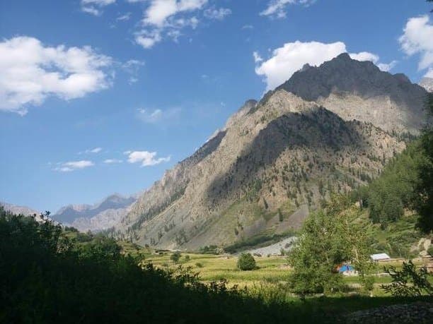
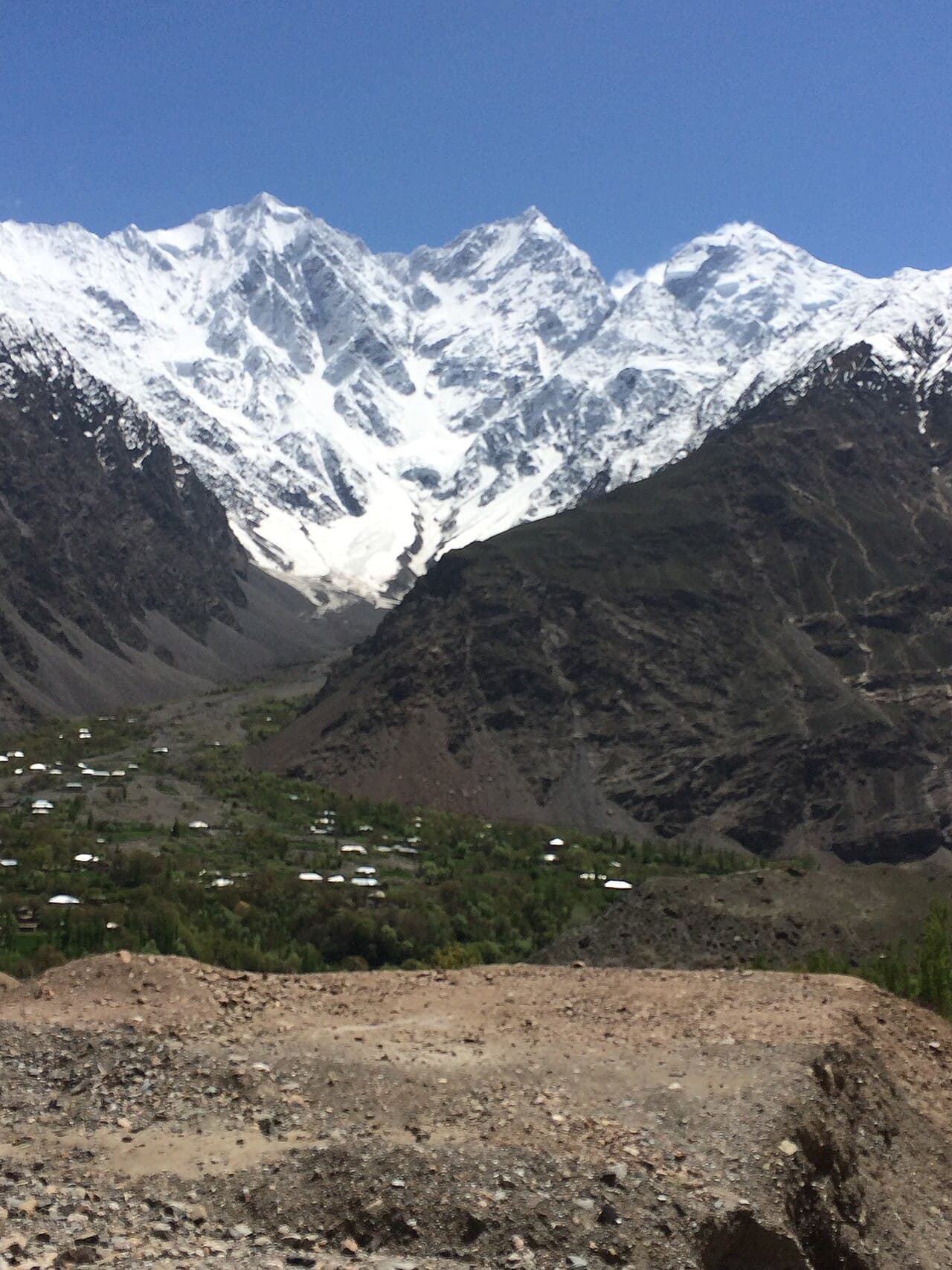
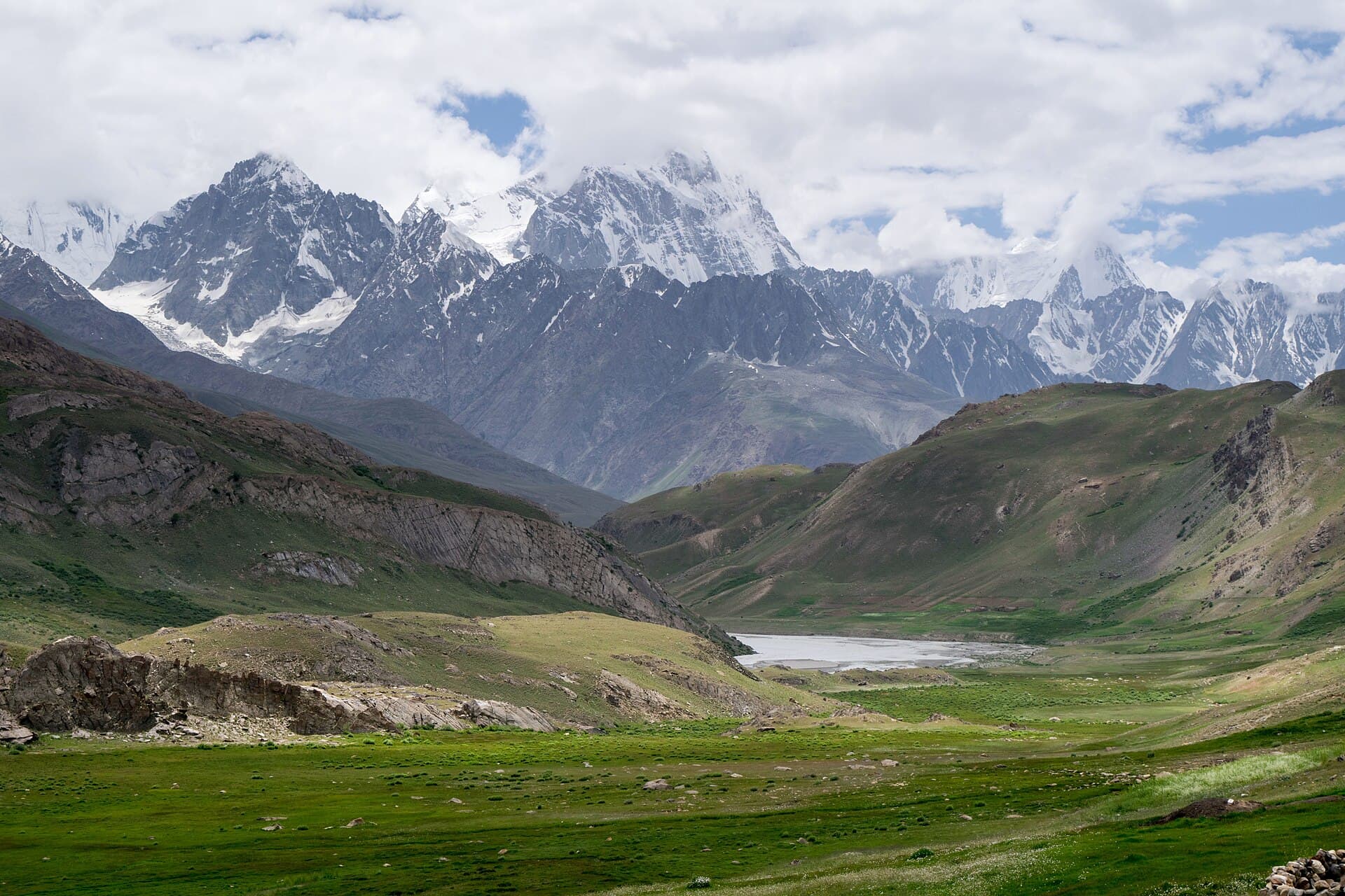
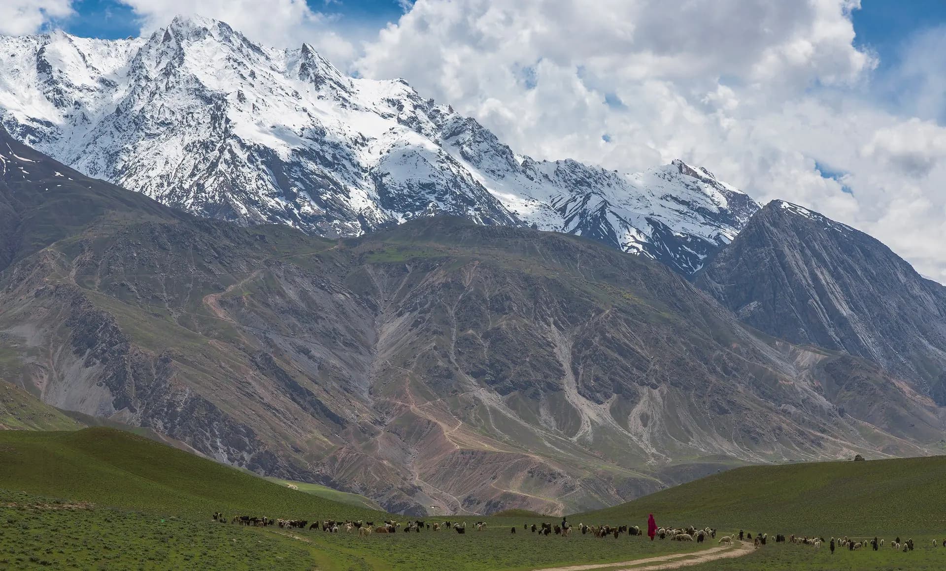
Chitral Gol National Park protects a network of steep valleys, forest, streams, and high ridges immediately west of Chitral town. The map point represents the protected landscape rather than a single gate. Birmoghlasht is a visitor access area and viewpoint within the wider park context, while Chitral city remains a separate destination.
Why go
- ✦Kashmir markhor habitat
- ✦Dry-temperate mountain forest
- ✦High valleys and panoramic viewpoints
- ✦Protected landscape beside Chitral
A Park, Not a Single Viewpoint
The national park covers a broad and steep landscape. Birmoghlasht, the former summer-fort area, wildlife facilities, and deeper valleys are parts of that setting rather than interchangeable names for one pin.
Wildlife Is Never Guaranteed
Markhor and other mountain wildlife use large areas and may remain distant or hidden. Observe quietly, keep a respectful distance, never pursue animals for photographs, and follow park or guide instructions.
Use Local Access Knowledge
The rough road, weather, erosion, and conservation restrictions can change. A local guide helps select a realistic viewpoint or walking route without treating the park's geographic centre as a vehicle destination.
Planning tip
Best Time to Visit, Late spring to autumn for the most practical lower-park access. Much of the higher park is snow-covered in winter, and road conditions vary.
Getting there, Arrange a suitable local vehicle and guide from Chitral for the rough mountain approach, commonly through the Birmoghlasht side. Confirm current park access and any local permissions before departure.
Allow, A full day for a viewpoint-based visit; longer routes require specialist local planning.
What to Do
Nearby
Straight-line distance from Chitral Gol National Park, within 5 km.
Nothing else genuinely close by (within 5 km of Chitral Gol National Park) is published yet.