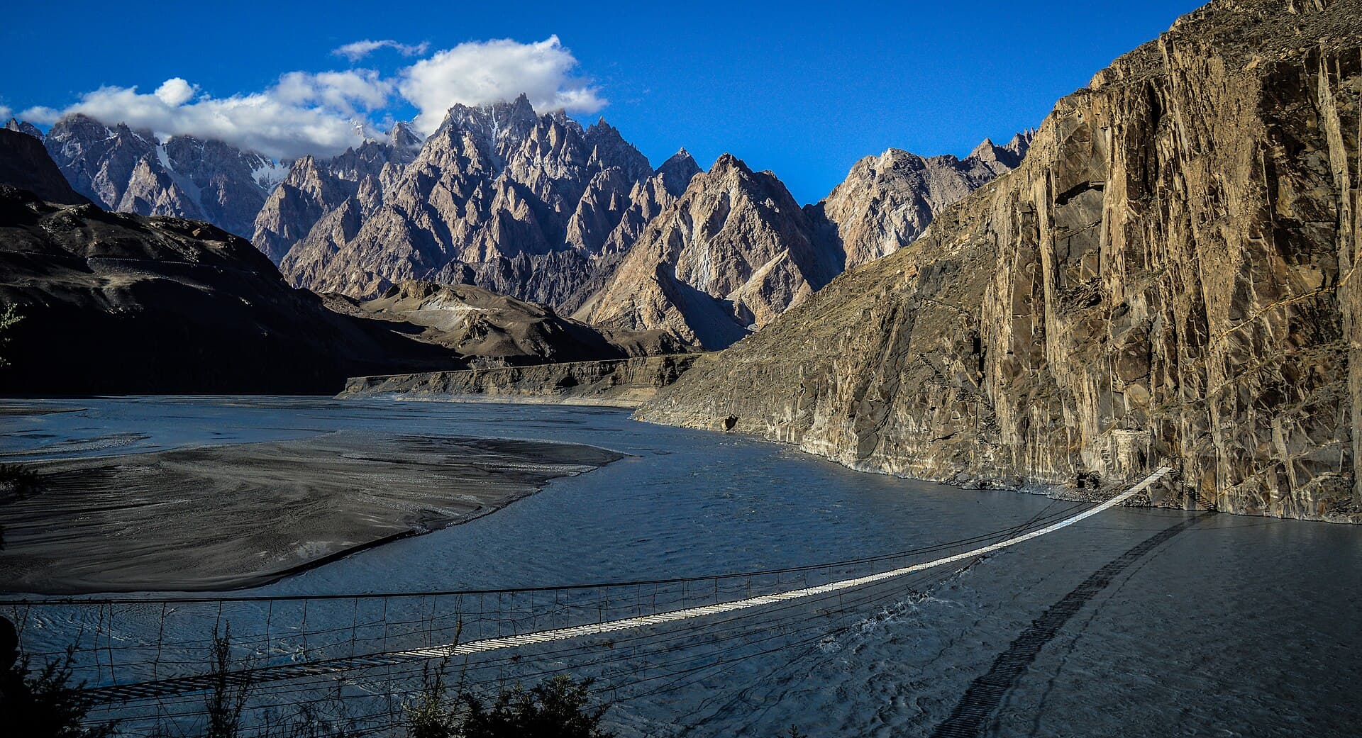
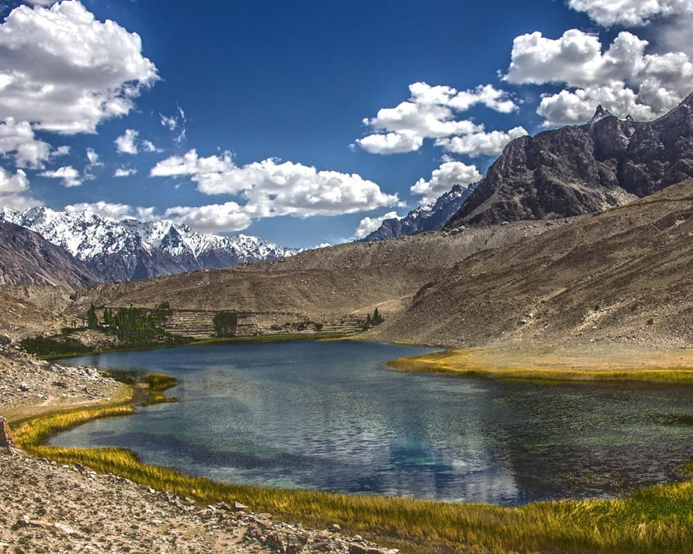
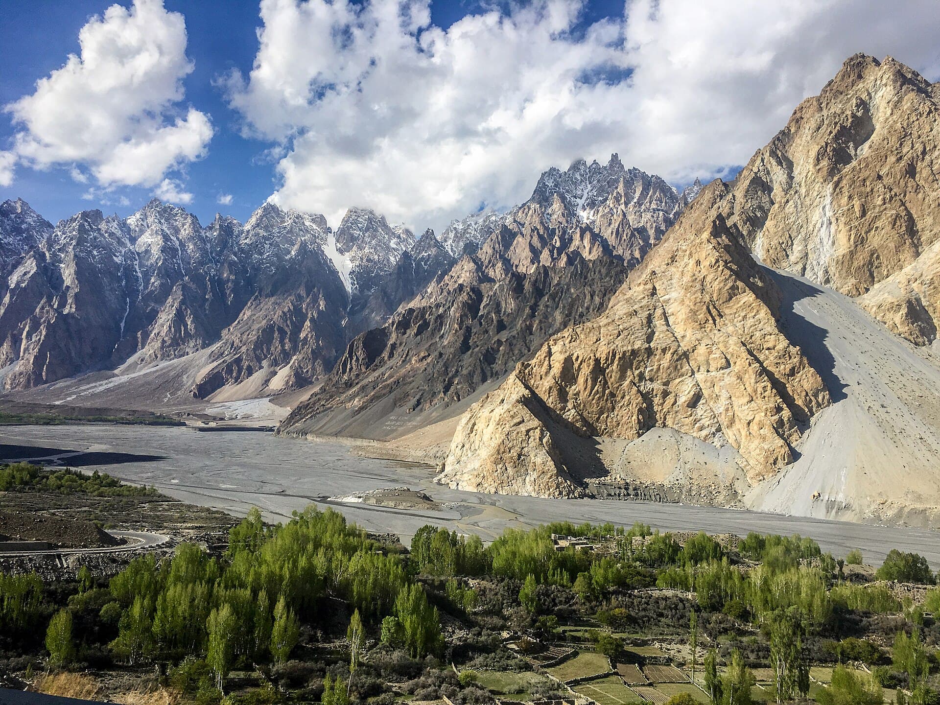
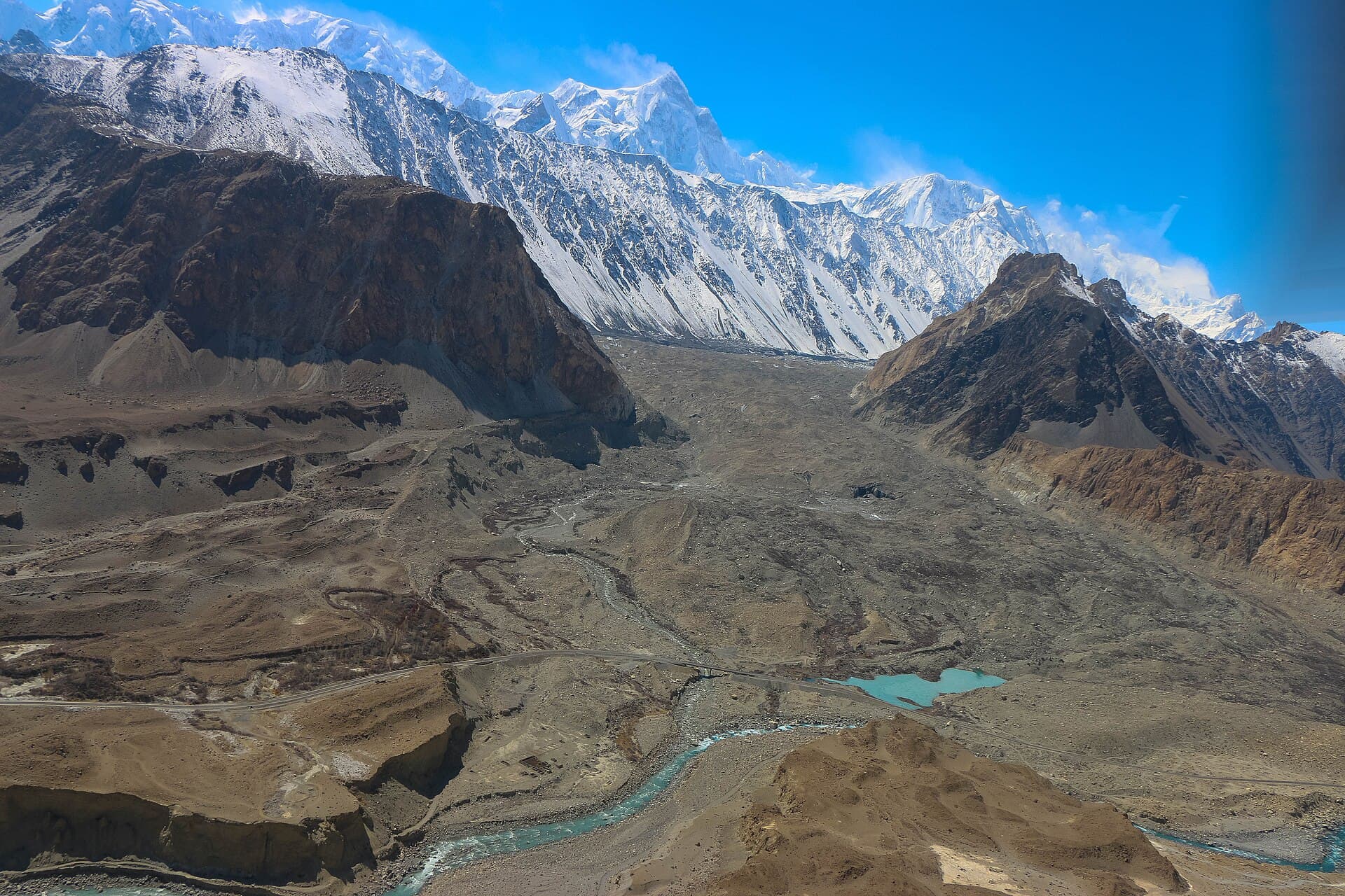
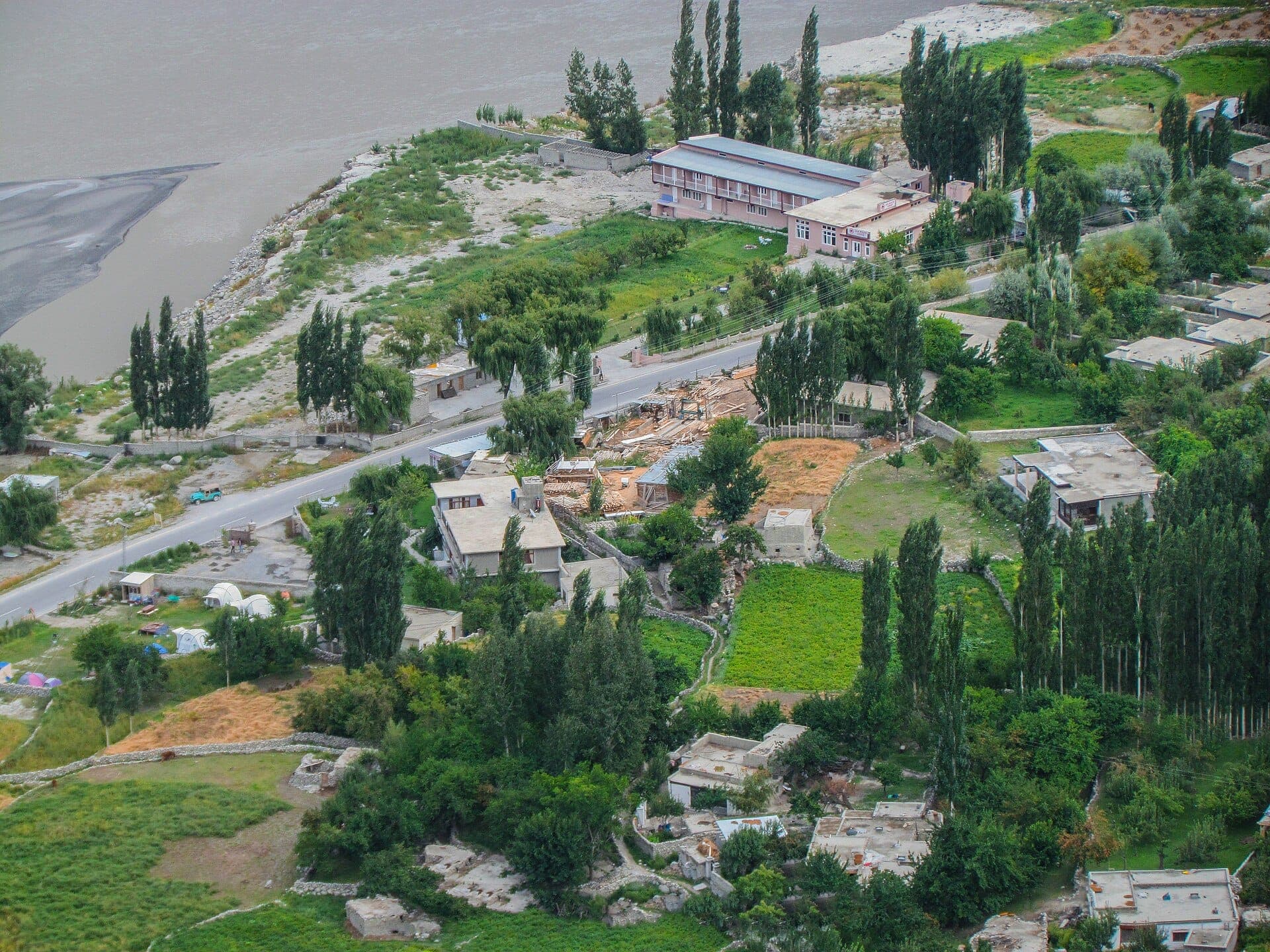
 Photo: Taseer Beyg · CC BY-SA 4.0
Field guides / Gilgit Division / Hunza Valley / Gulmit
Field guide · Nature
Gilgit Division
Hunza District · Gilgit-Baltistan, Pakistan
Gulmit
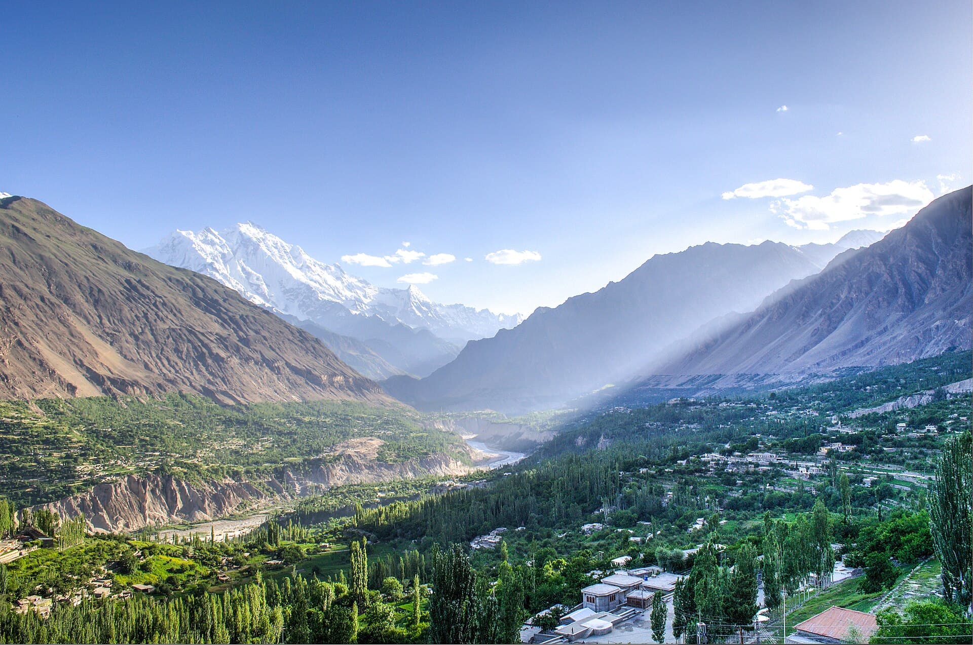
A historic Upper Hunza town on the Karakoram Highway, separate from nearby Passu and positioned between Attabad Lake and the upper Gojal valleys.
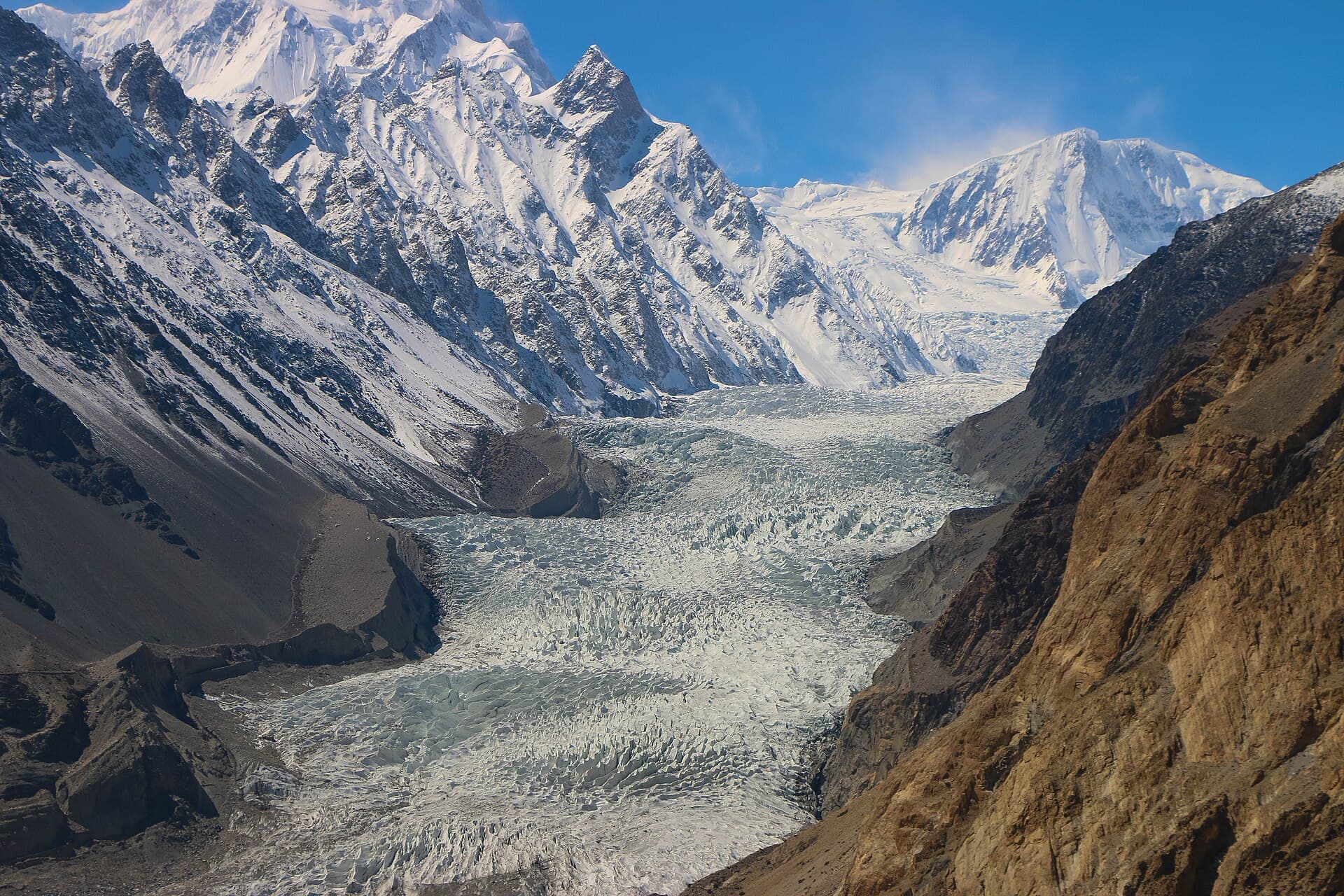
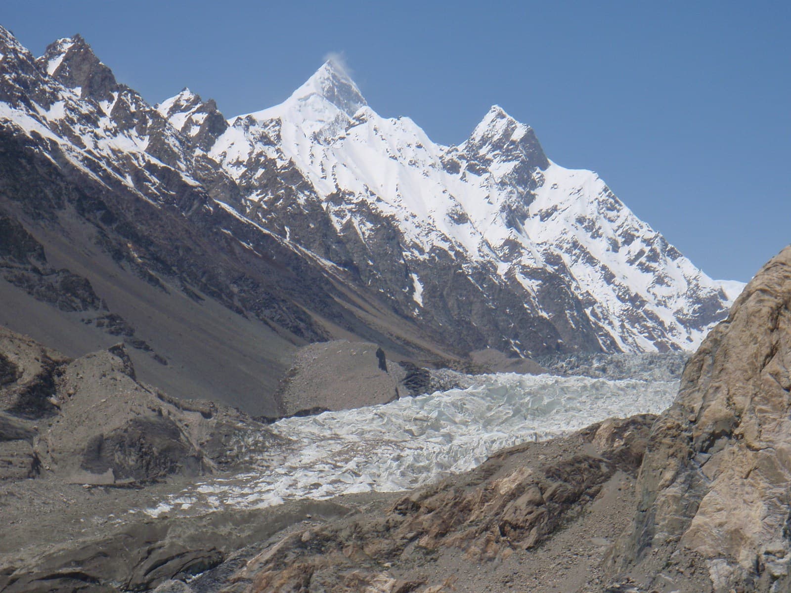
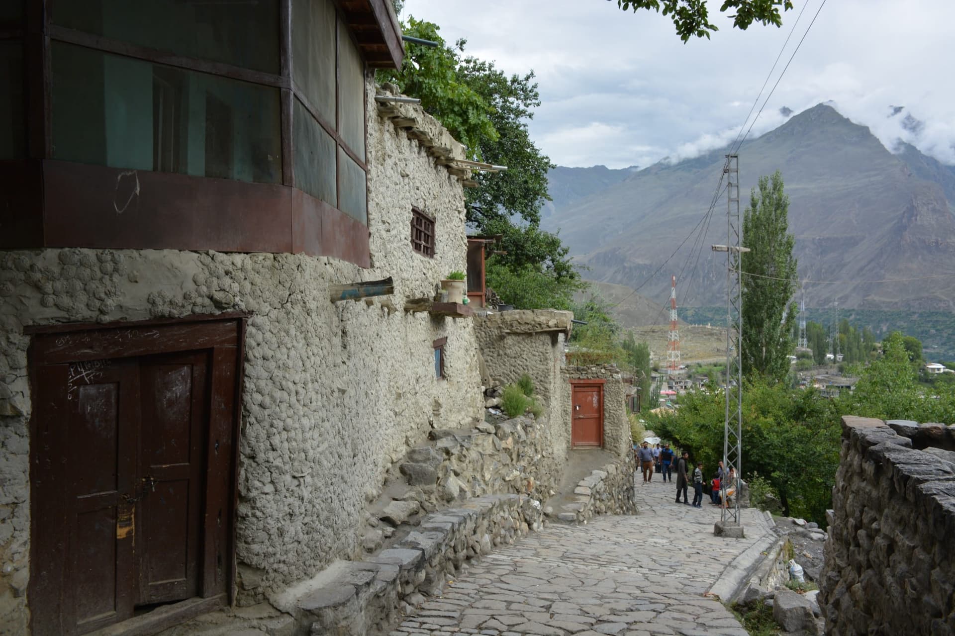
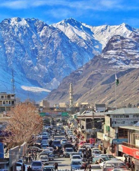
Gulmit and Passu are close neighbours on the upper Karakoram Highway, but they are different settlements. Gulmit is a historic Upper Hunza town with its own streets, community life, cultural sites, and access toward side valleys; Passu is farther north beneath the Passu Cones and glaciers.
Why go
- ✦Historic Upper Hunza settlement
- ✦Karakoram Highway location
- ✦Independent identity from Passu
- ✦Base for exploring upper Gojal
Gulmit Is Not Passu
The two towns share the same highway corridor, but their centres, community histories and nearby walks are different. Visit them as neighbouring stops rather than as one place.
Upper Gojal Context
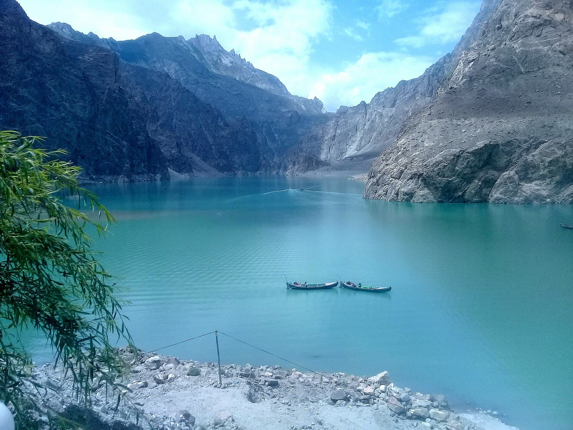
Use Gulmit as part of a route through Attabad, Passu, Sost, and Khunjerab, while keeping every stop independently searchable.
Planning tip
Best Time to Visit, April to October for the upper Karakoram Highway and village walks; road access toward Khunjerab is most reliable in summer.
Getting there, Drive north from Attabad Lake on the Karakoram Highway. Gulmit is reached before Passu when travelling from central Hunza.
Allow, A half day, or an overnight as part of a slower Upper Hunza journey.
What to Do
Make Gulmit Part of a Trip
GreenPak resorts and journeys within 5 km of Gulmit.
Nearby
Straight-line distance from Gulmit, within 5 km.