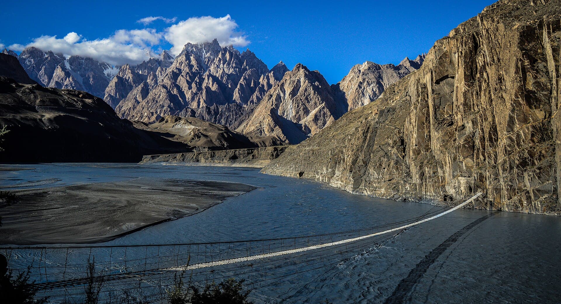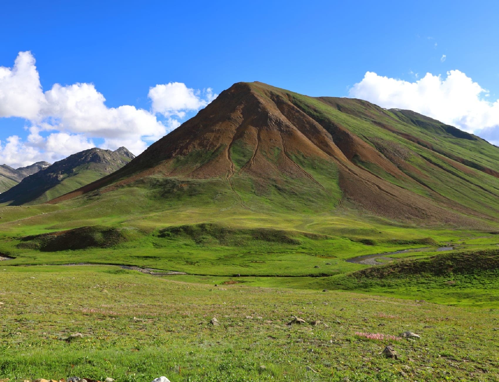

Photo: Peracha1 · CC BY-SA 4.0
Field guides / Gilgit Division / Hunza Valley / Attabad Lake
Field guide · Nature
Gilgit Division
Hunza District · Gilgit-Baltistan, Pakistan
Attabad Lake
Hunza's 21 km turquoise lake on the Karakoram Highway, formed in 2010: boating, jet-skis and lakeside views near Karimabad.
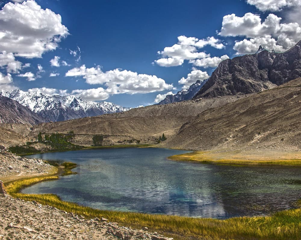
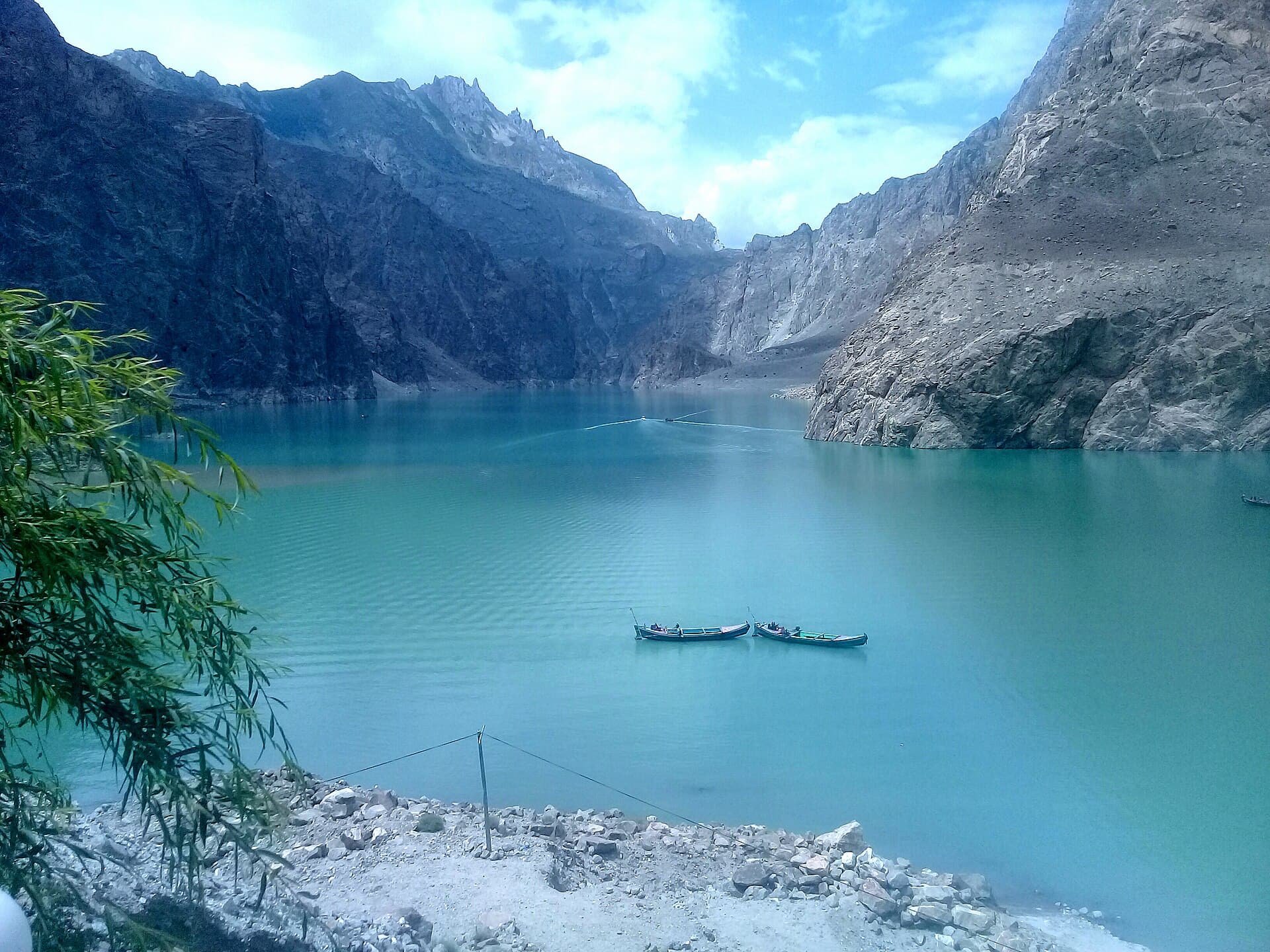
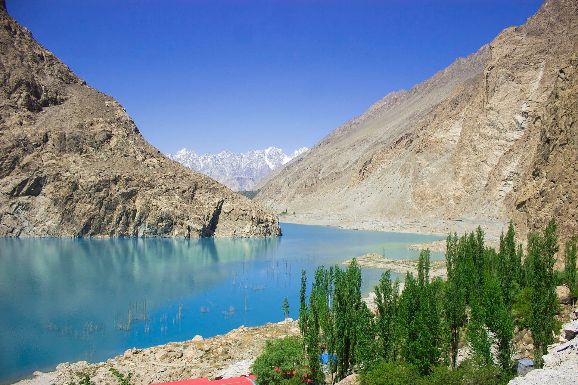
Attabad Lake is a 21-kilometre ribbon of turquoise water in the Gojal area of Hunza, formed in January 2010 when a landslide dammed the Hunza River. Today the Karakoram Highway runs beside it through the Pakistan–China Friendship Tunnels, and its shores, about half an hour from Karimabad, are one of the most visited stops in northern Pakistan for boating, jet-skiing and lakeside cafés.
Quick facts
- Where
- Gojal, Hunza District, Gilgit-Baltistan
- Altitude
- About 2,500 m
- Size
- About 21 km long; up to 109 m deep
- Formed
- January 2010, by a landslide
- From Karimabad
- About 30 minutes on the Karakoram Highway
- From Gilgit
- About 120 km
- Things to do
- Boating, jet-skiing, lakeside cafés
Why go
- ✦Vivid turquoise landslide-dammed lake
- ✦Boat rides and jet-ski hire
- ✦The Pak-China Friendship Tunnels
- ✦Gateway to Passu, Gulmit, and Khunjerab
- ✦Lakeside cafés and resorts
About
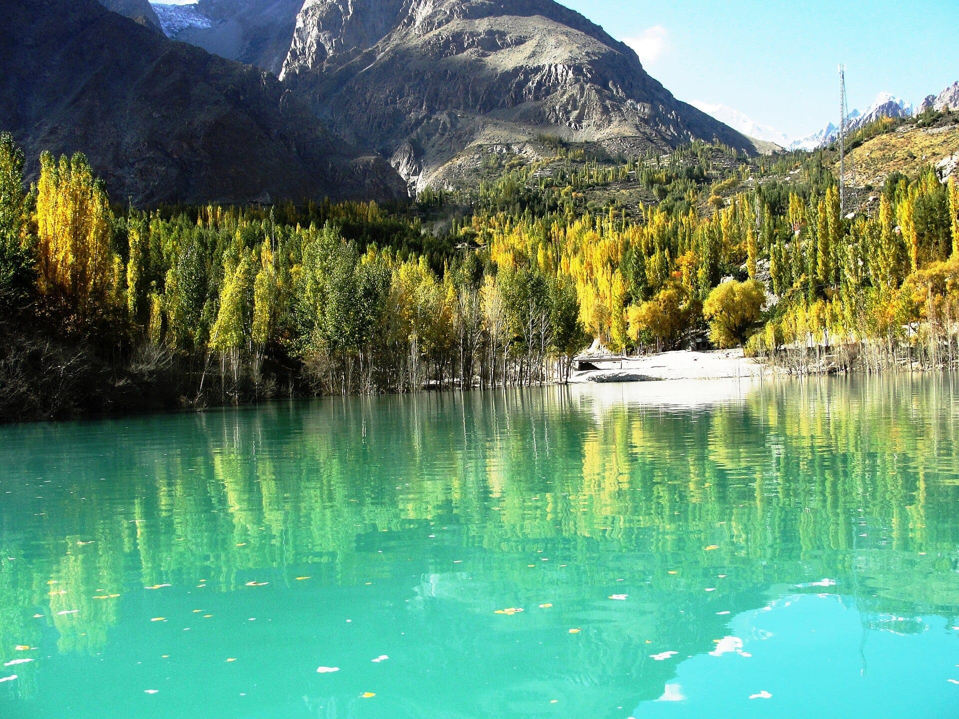
The lake lies at about 2,500 metres in Hunza District, Gilgit-Baltistan, between Attabad and the villages of Gojal upstream, and reaches up to 109 metres deep. Its colour, a vivid blue-green from glacial silt, changes with the light and season. Boats, jet-skis and lakeside hotels line the shore near the tunnels, and in winter, as temperatures drop, visitors come for the frozen edges and snow.
Geography and Surroundings
When the lake formed it flooded about 19 km of the Karakoram Highway and parts of villages upstream. In 2015 a new 24-km section of the highway opened along its side, with five tunnels totalling about 7 km, built with Chinese assistance and known as the Pakistan–China Friendship Tunnels. Driving north, the road continues to Gulmit, Passu and on to Khunjerab Pass.
What Visitors Will See
- Turquoise water between bare Karakoram cliffs
- The Friendship Tunnels along the Karakoram Highway
- Boats and jet-skis at the main landing
- Lakeside cafés and viewpoints
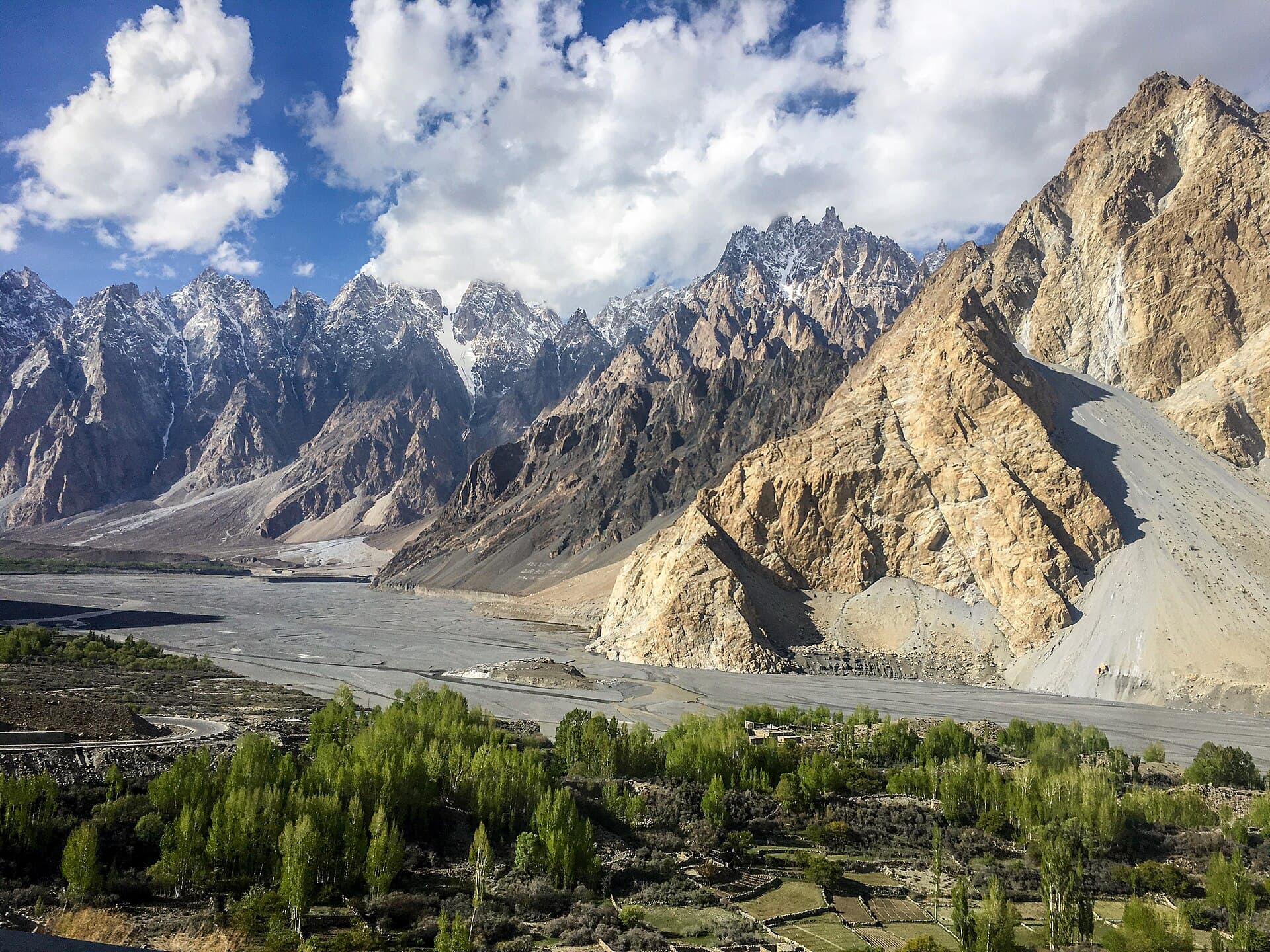
- The road onward to Gulmit and the Passu Cones
Why Visit
Attabad is the most striking stretch of the Karakoram Highway: a lake of startling colour that you can drive alongside, take a boat across, or simply watch from a café on the shore, all within easy reach of Karimabad.
Climate and Seasons
Mild summer days at about 2,500 m, with cold nights; winter is freezing, and parts of the lake can ice over. May to October is the main season for boating.
How to Reach
From Karimabad, drive about half an hour east on the Karakoram Highway; from Gilgit it is about 120 km. Boats and jet-skis are hired at the lakeside landing near the tunnels.
Responsible Travel
Wear a life jacket on every boat, choose operators with proper equipment, and keep plastic out of the lake: take rubbish back to town.
Interesting Facts
- Formed in January 2010 when a landslide dammed the Hunza River
- About 21 km long and up to 109 m deep
- Lies at about 2,500 m
- Five road tunnels, about 7 km in all, opened along it in 2015
- Also called Hunza Lake
Attabad Lake in pictures
Photos: Ansarimobeen794 · CC BY-SA 4.0 · Bilal Javed Awan · CC BY-SA 3.0 · Atif.malick · CC BY-SA 4.0 · Qureshi · CC BY-SA 3.0 · Iaazahmet · CC BY-SA 4.0 · Fateen Younis · CC BY-SA 4.0 · M. Ali Alam · CC BY-SA 4.0 · Harvey Sc · CC BY-SA 3.0. Each photo's own credit and licence link is shown when you open it.
Planning tip
Best Time to Visit, May to October for boating and clear colour; winter is very cold but quieter, with ice at the edges.
Getting there, About half an hour's drive east of Karimabad on the Karakoram Highway; about 120 km from Gilgit.
Allow, A couple of hours for a boat ride and lakeside lunch; longer if based in Gulmit or Hunza.
What to Do
Questions travellers ask
+How was Attabad Lake formed?
A landslide in January 2010 blocked the Hunza River at Attabad village, and the river backed up into a lake about 21 km long.
+How far is Attabad Lake from Karimabad?
About half an hour's drive east of Karimabad on the Karakoram Highway; about 120 km from Gilgit.
+Can you go boating on Attabad Lake?
Yes, boats and jet-skis are hired at the landing near the tunnels, mainly from May to October. Always wear a life jacket.
+When is the best time to visit Attabad Lake?
May to October for boating and the brightest colour; winter is very cold, with ice at the lake's edges.
Make Attabad Lake Part of a Trip
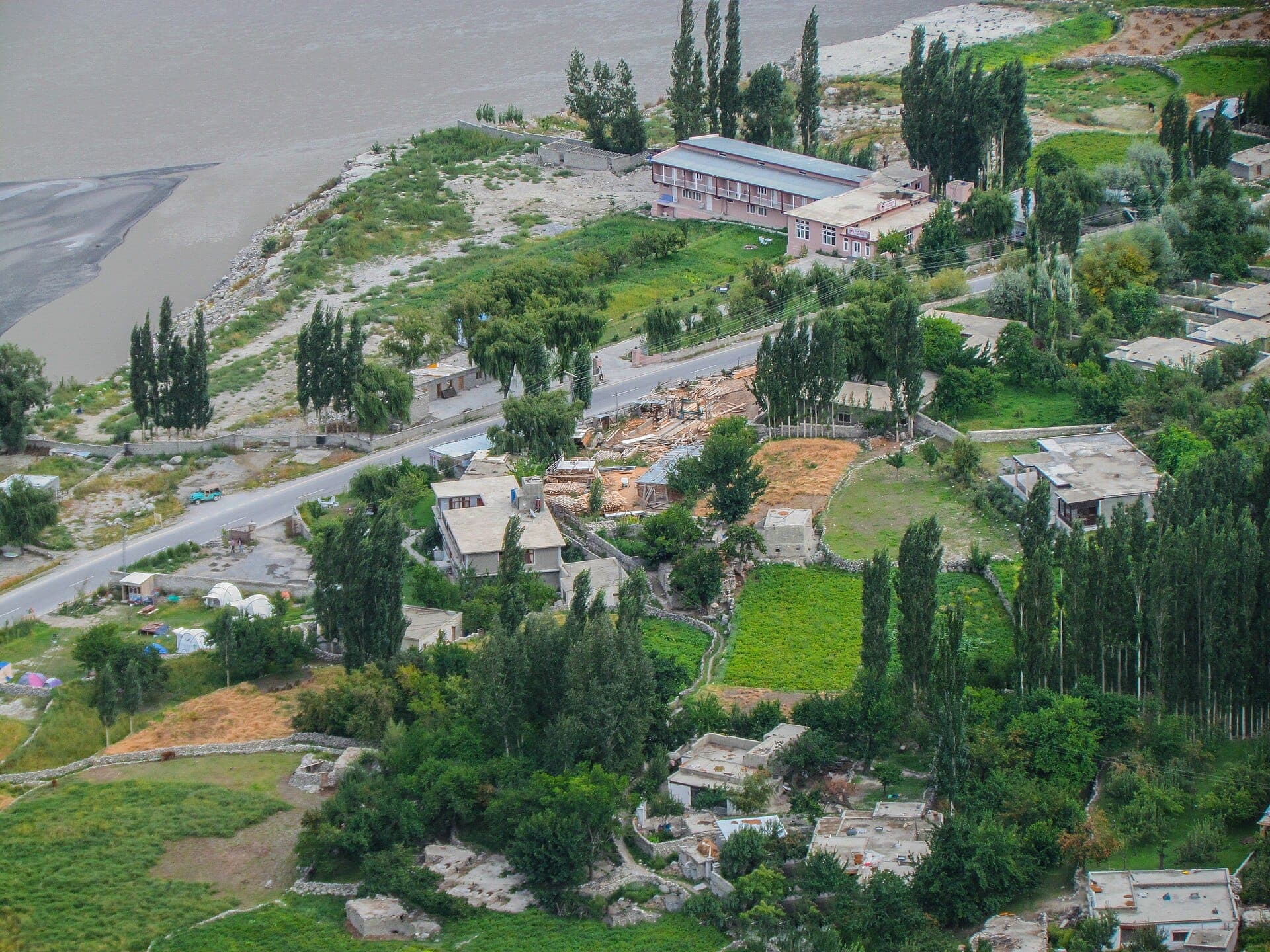
GreenPak resorts and journeys within 5 km of Attabad Lake.
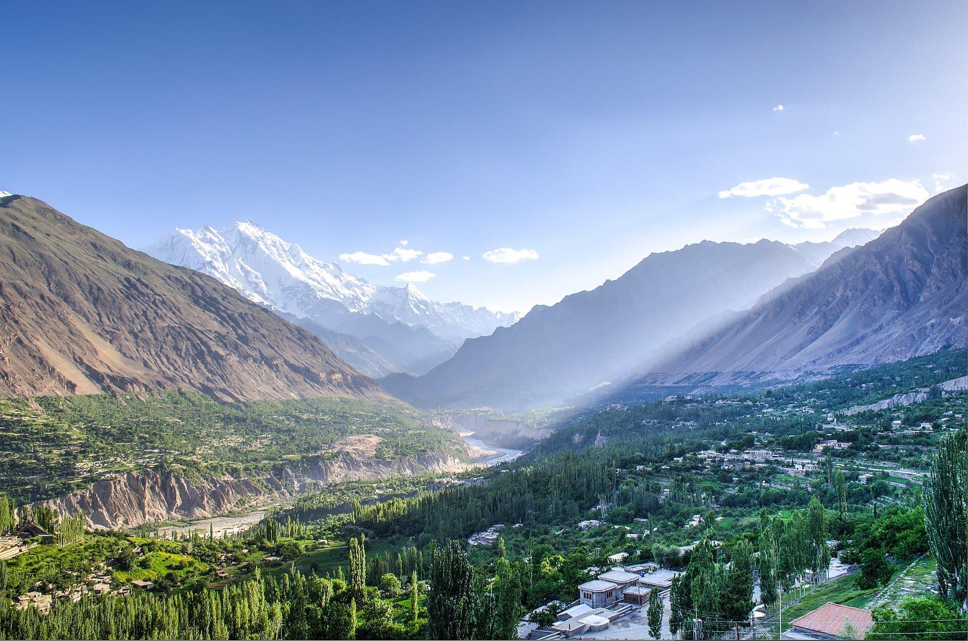
Nearby
Straight-line distance from Attabad Lake, within 5 km.
Stories from Attabad Lake
All stories →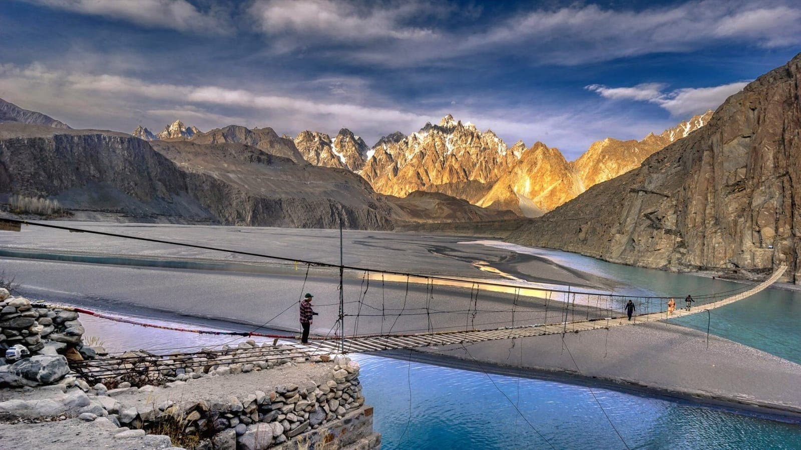
Story
Hunza in 5 Days: An Itinerary from Islamabad
A day-by-day plan for five days in Hunza: forts and Eagle's Nest in Karimabad, Attabad Lake, the Passu Cones and Hussaini bridge, and Khunjerab Pass, with notes on flights and timing.
Story
Hunza or Skardu? Which Valley to Choose, and When
Hunza for forts, villages and the Karakoram Highway; Skardu for vast landscapes, Deosai and the road to K2. Access, altitude, season and what each does best.