

Destinations / Gilgit-Baltistan
The High North · Regional Guide
Gilgit-Baltistan
Where the Karakoram, Himalaya, and Hindu Kush collide, apricot-blossom valleys, glacier lakes, and the highest paved border crossing on Earth.
Why go
The Reason Most Travellers Come to Pakistan
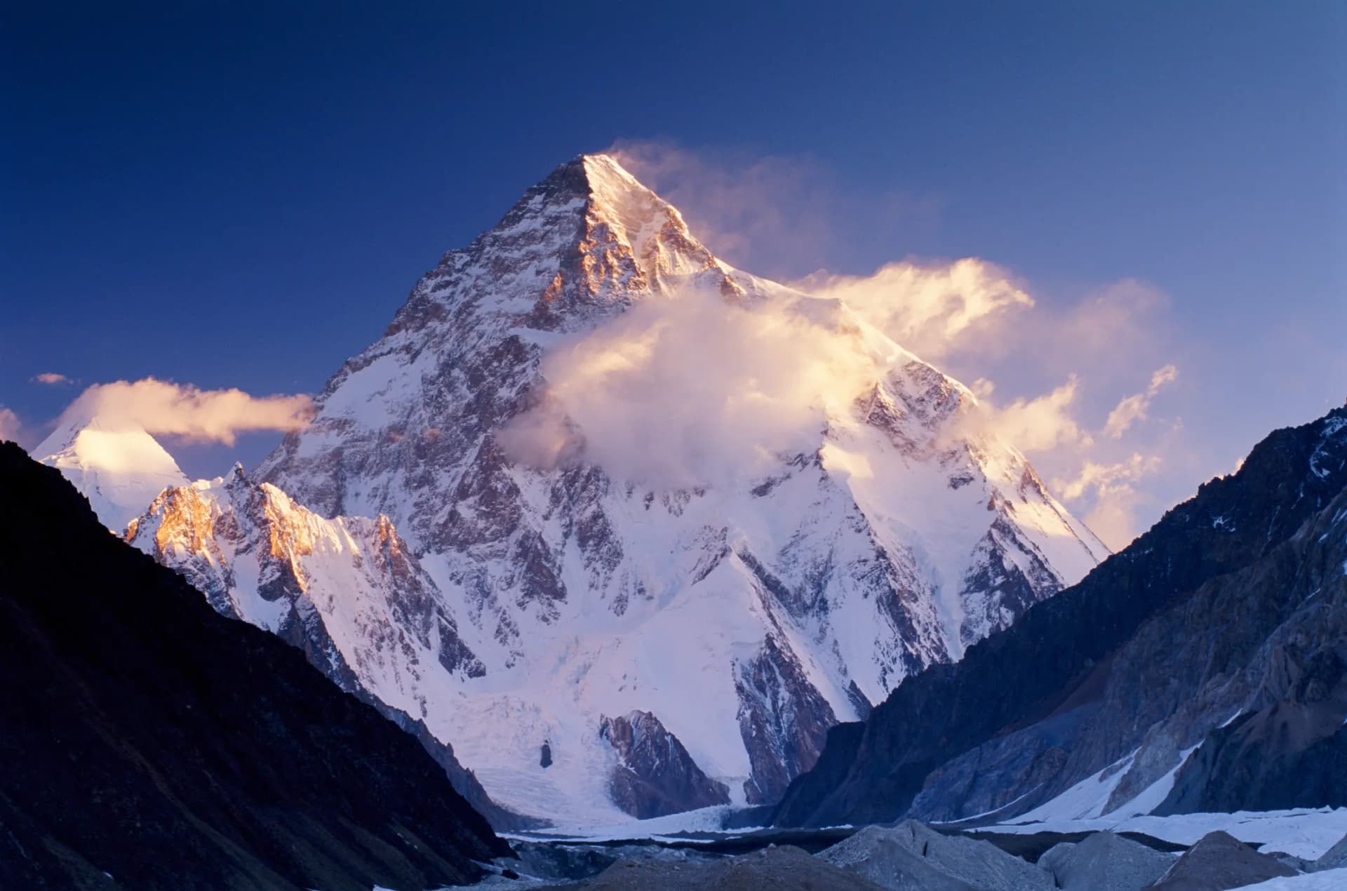
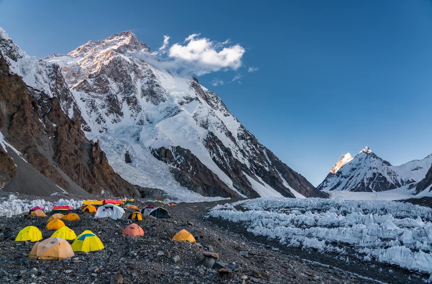
Gilgit-Baltistan is a land of superlatives. Three of the planet's great ranges meet here, and with them five of the fourteen peaks above 8,000 metres, K2 among them. The Hunza and Nagar valleys glow with autumn gold and spring blossom; Skardu opens onto the Deosai plains, the second-highest plateau on Earth.
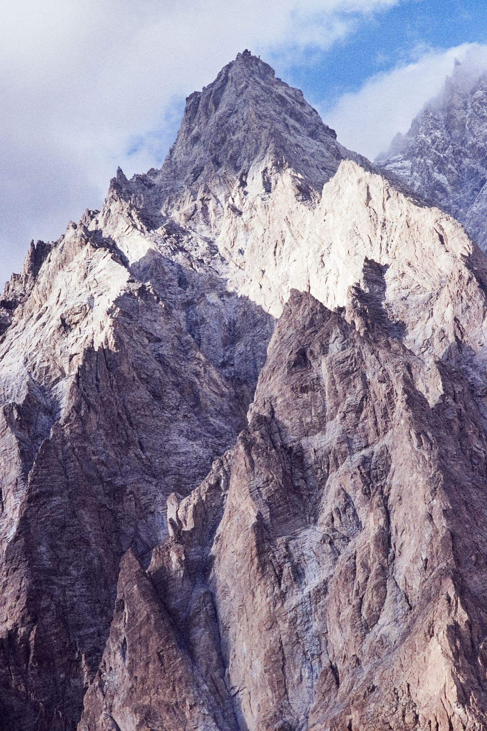
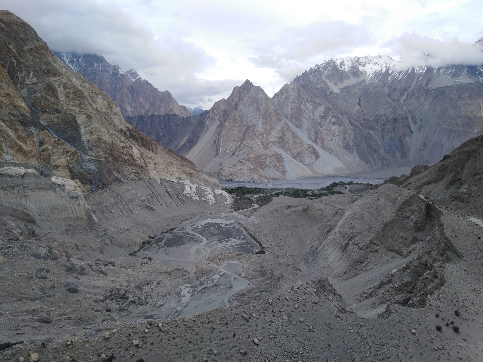
Skardu, the administrative heart of Baltistan at roughly 2,500m, is the usual gateway to K2, Broad Peak, and the Gasherbrums, and a jumping-off point for Shigar's restored fort-palace and the cold desert dunes nearby. Hunza rewards a slower pace: Baltit and Altit forts look down over Karimabad, the Hussaini and Passu suspension bridges cross turquoise glacial water, and the Passu Cones rise sharp against the sky above Passu village.
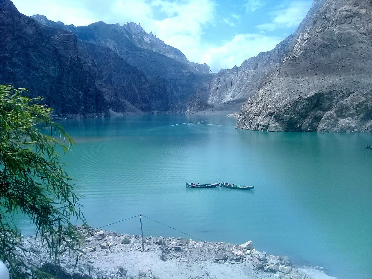
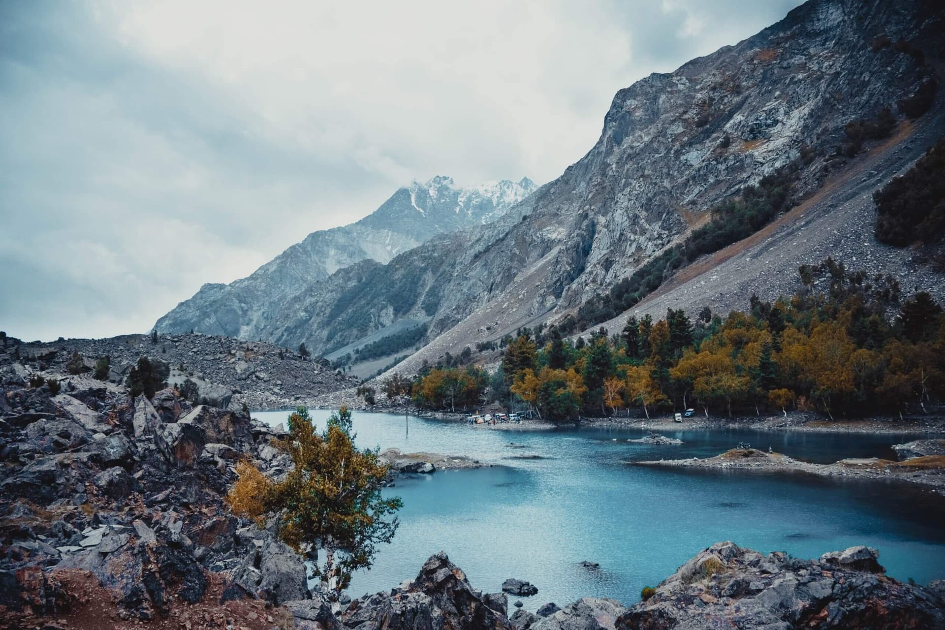
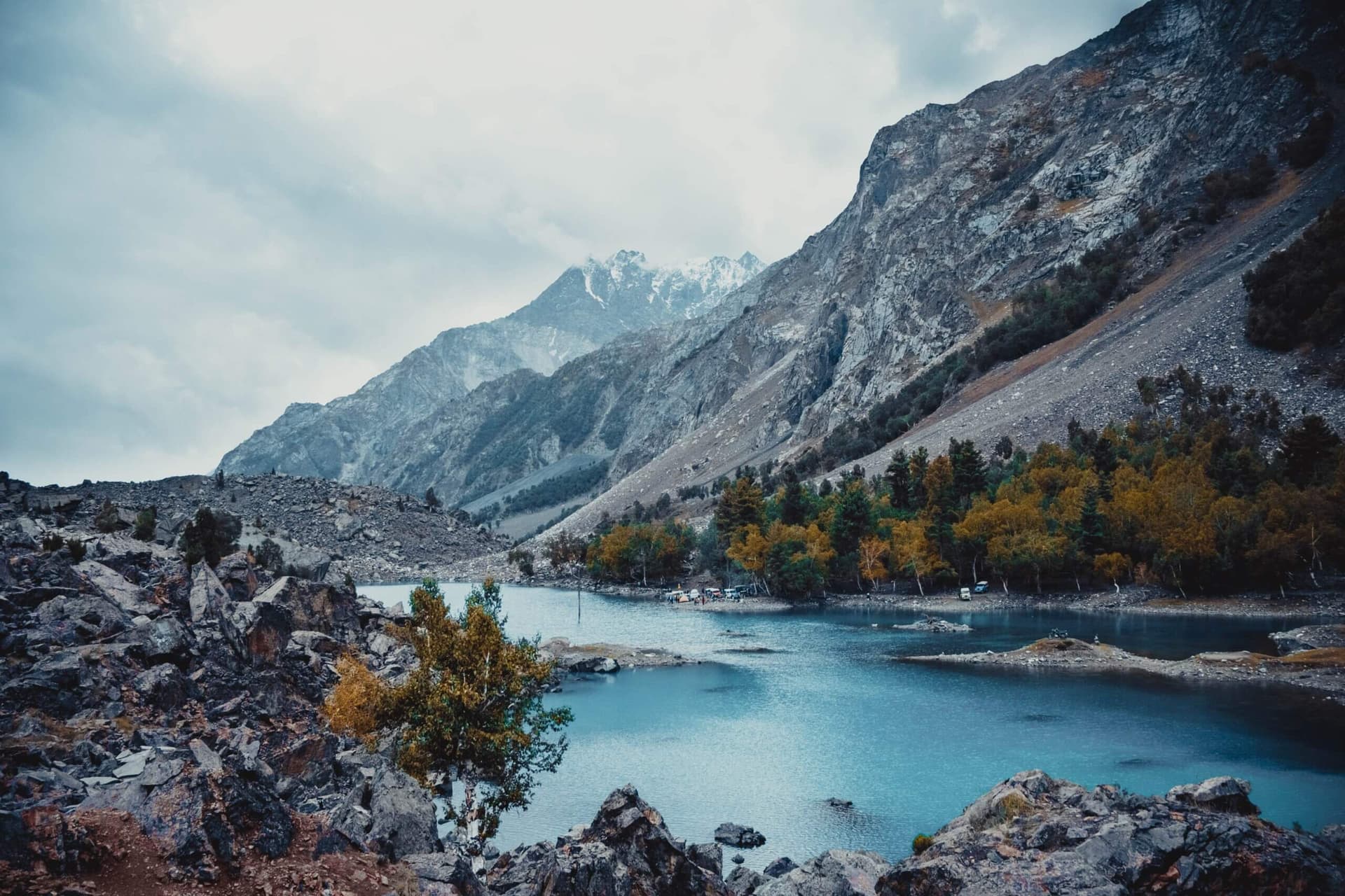
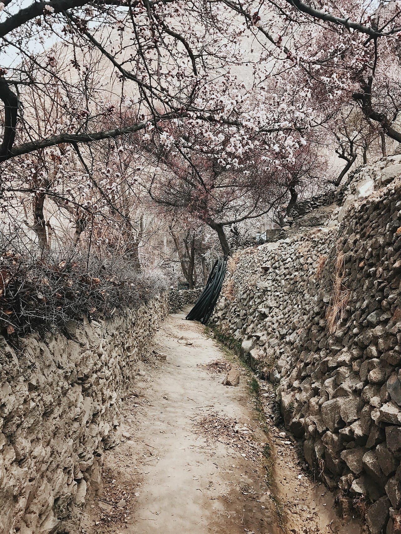
Deosai's rolling plateau, above 4,100m and closed by snow from November to May, is one of the last strongholds of the Himalayan brown bear; blossom season runs roughly late March into mid-April in Hunza and Nagar, and by October the same orchards turn gold before the first snow. Attabad Lake, a startling turquoise stretch along the Karakoram Highway, did not exist before a 2010 landslide dammed the Hunza River, a reminder that this landscape is still being actively reshaped.
Balti, Shina, and Burushaski are the everyday languages of the valleys, and each carries its own food: apricot in every form in Hunza, from sun-dried to oil-pressed, walnut and mulberry harvests through late summer, and the layered, slow-cooked stews of Baltistan's high villages. Getting here means flying to Gilgit or Skardu when weather allows, or the two-day drive up the Karakoram Highway from Abbottabad, one of the world's great road journeys in its own right. This guide walks you through where to go, when, how long to give it, and what GreenPak handles along the way.
Orient yourself
The Region on the Map
Place by place
Every Sight in Gilgit-Baltistan
Central Karakoram National Park
K2
Nanga Parbat
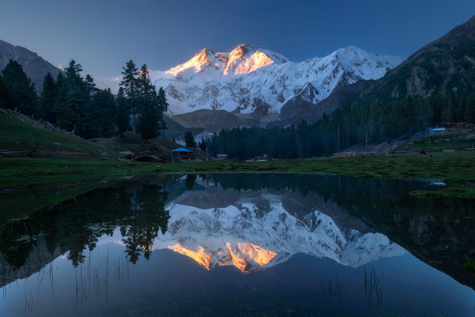
Fairy Meadows
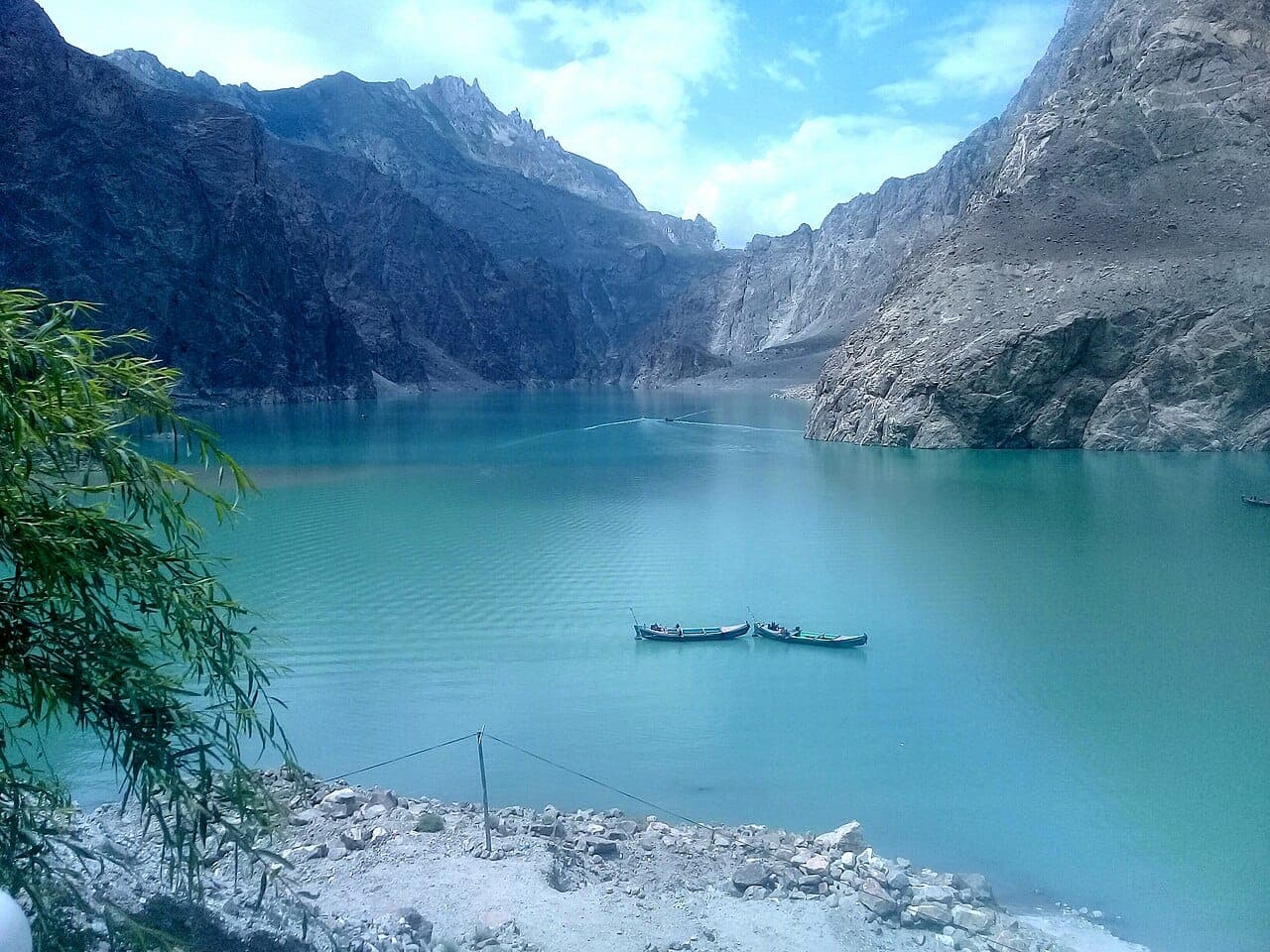
Attabad Lake
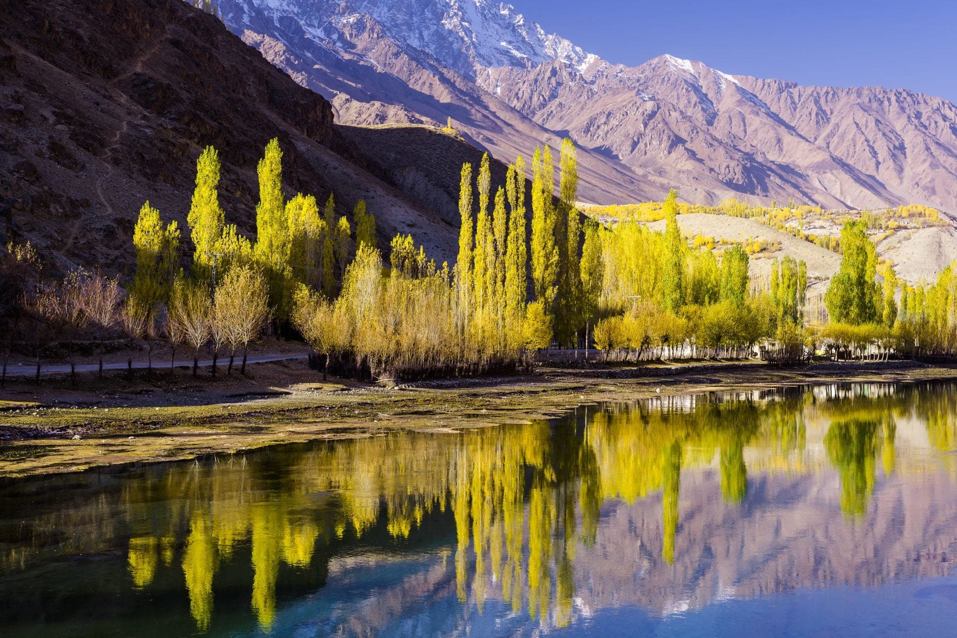
Naltar Valley
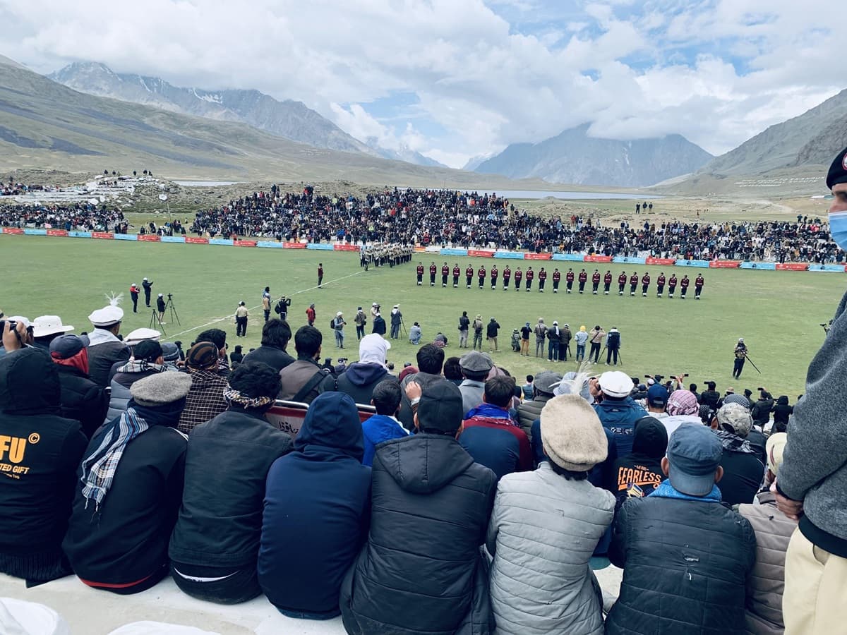
Shandur Polo Festival
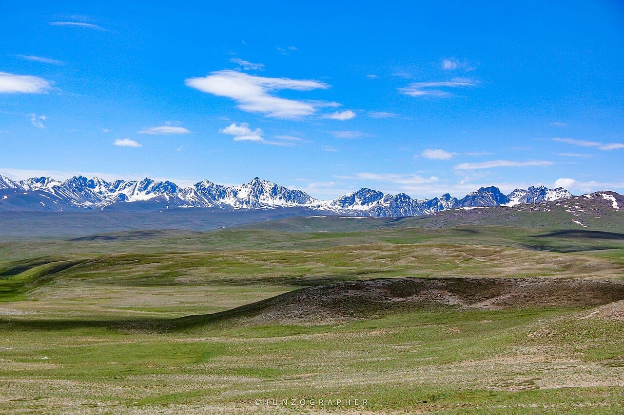
Deosai National Park
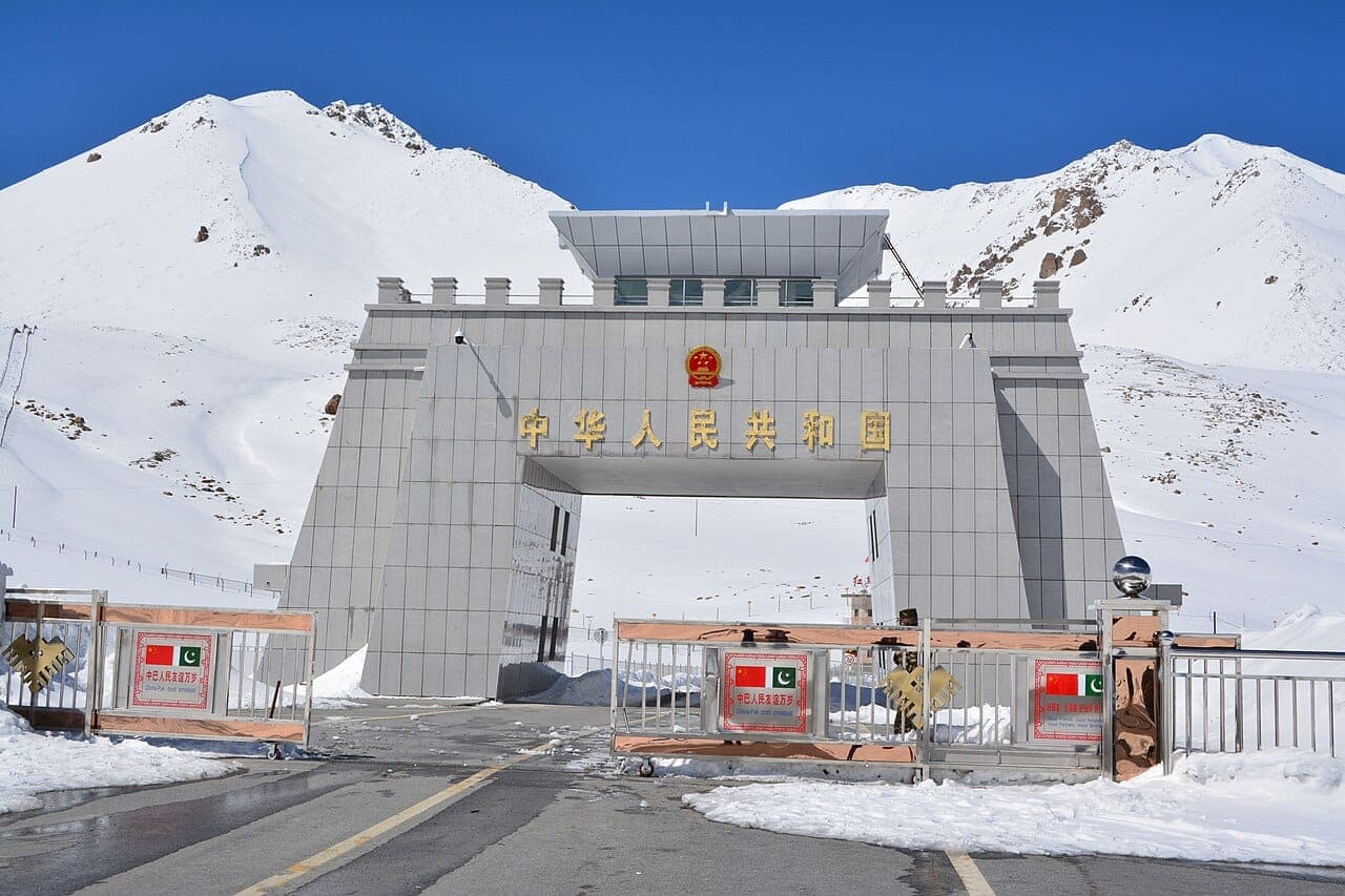
Khunjerab Pass
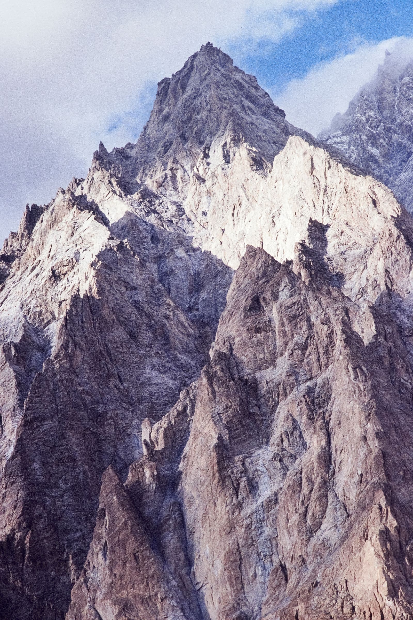
Concordia
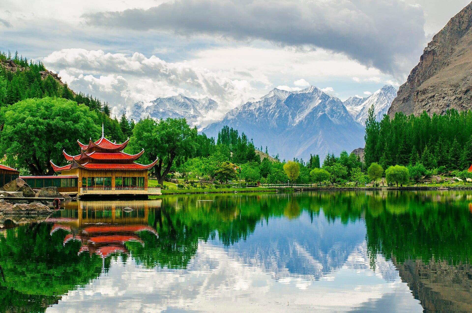
Shangrila Resort
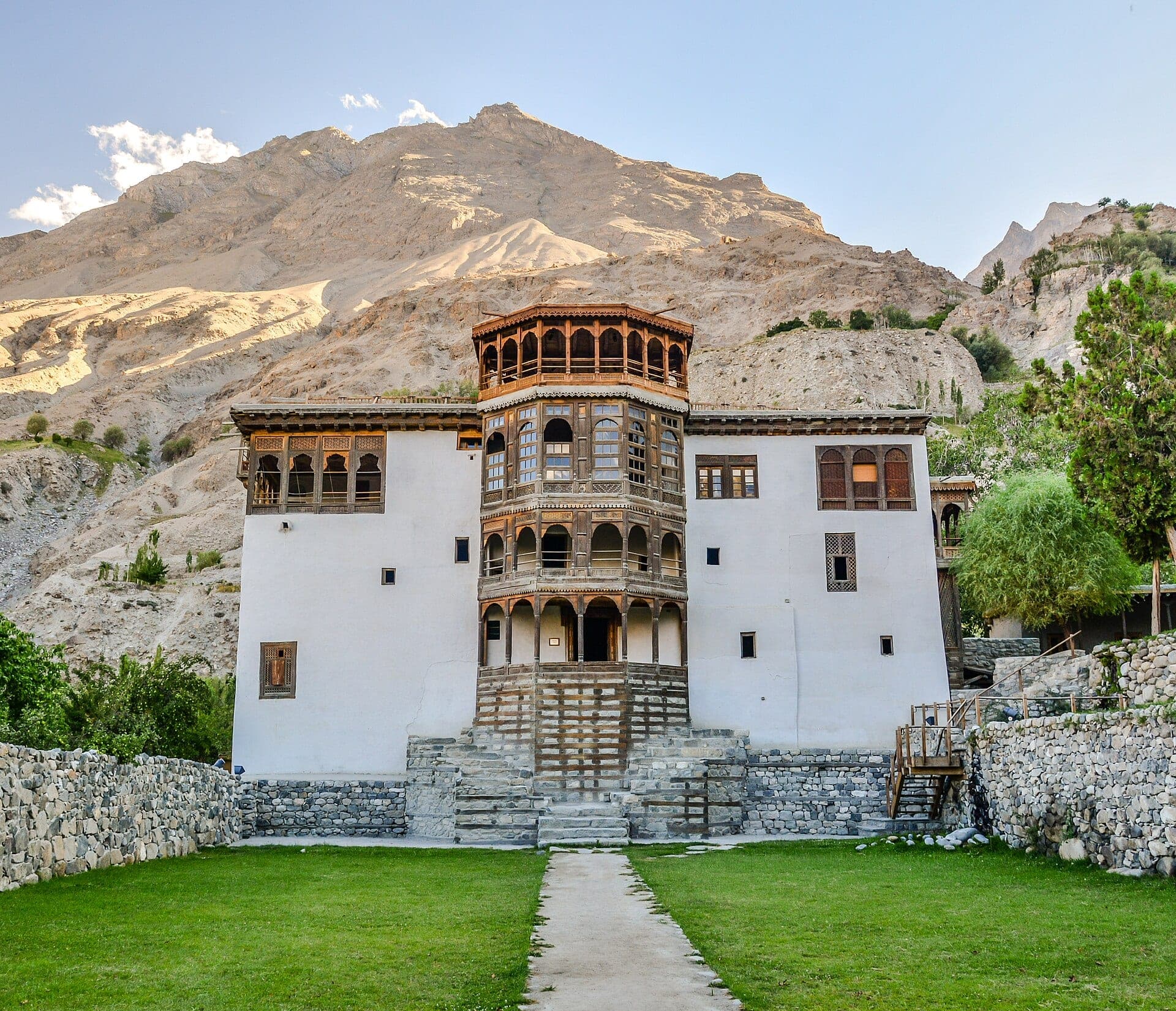
Khaplu Palace
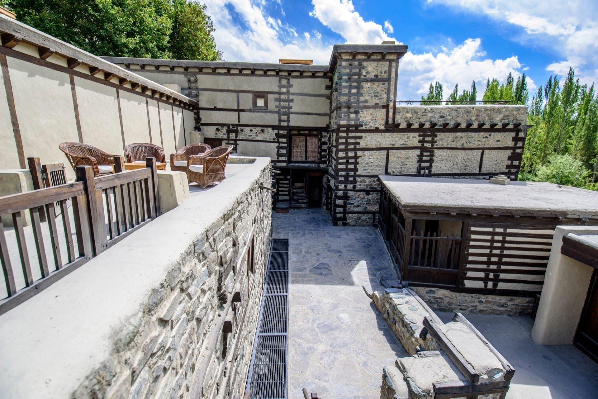
Shigar Fort
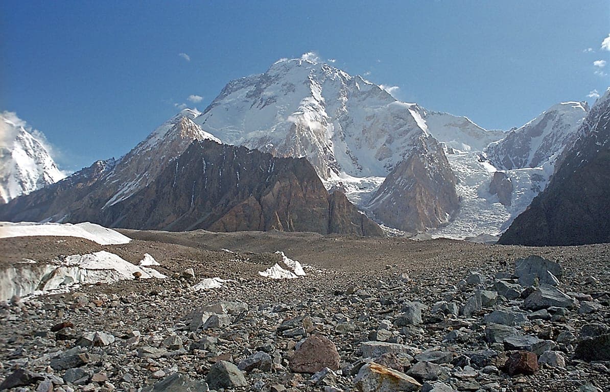
Broad Peak
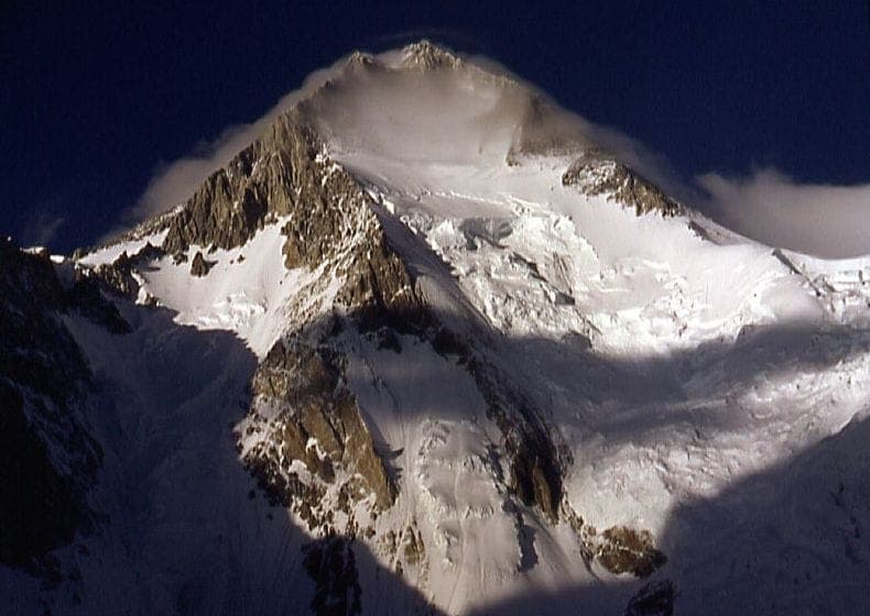
Gasherbrum I
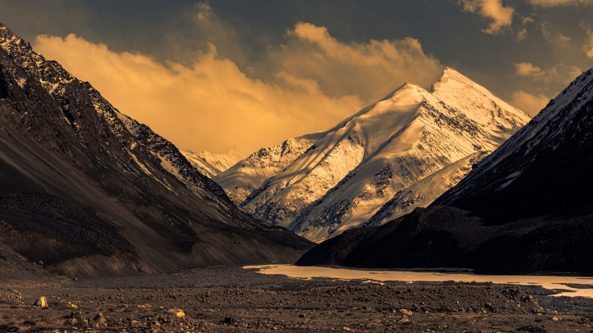
Gasherbrum II
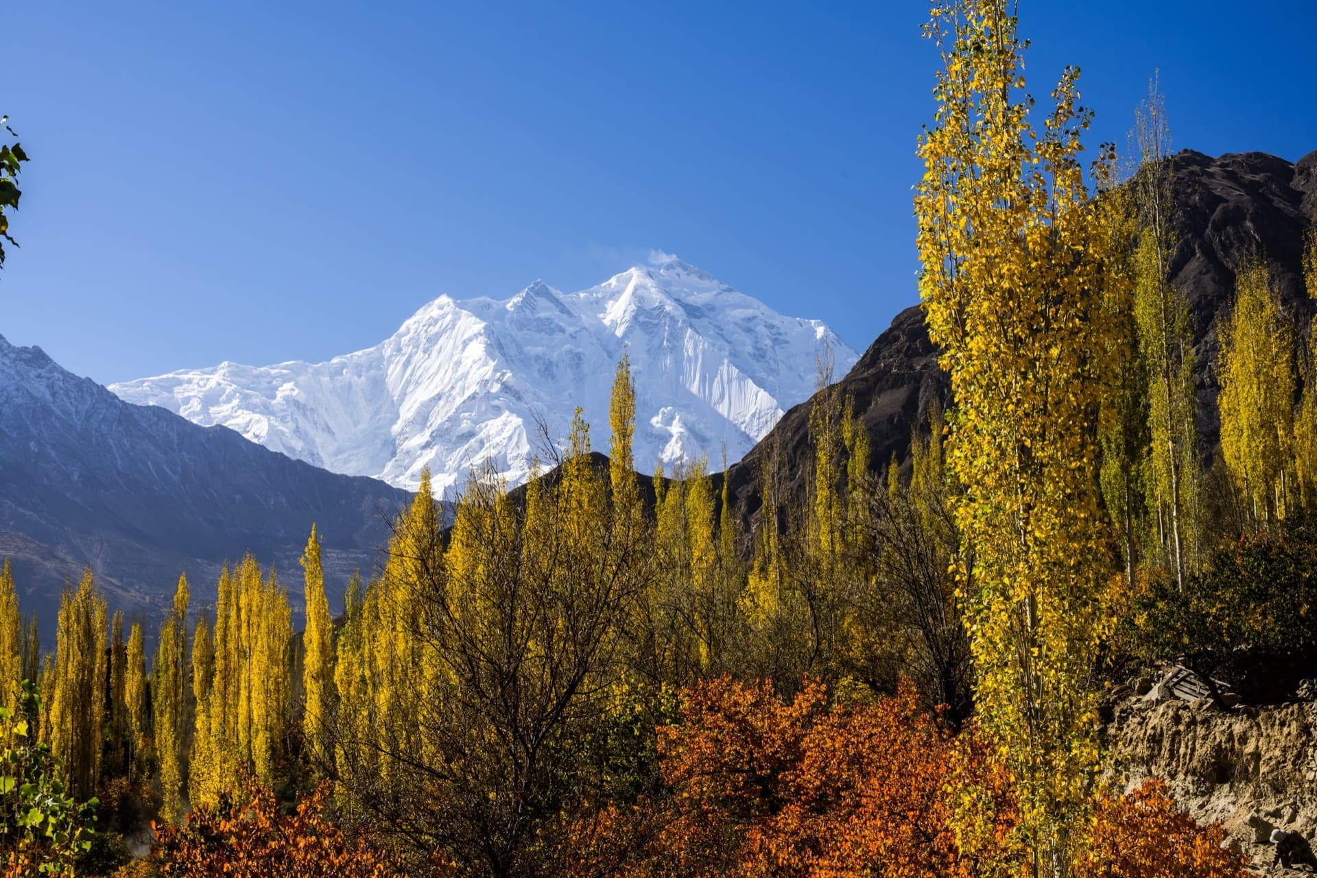
Rakaposhi
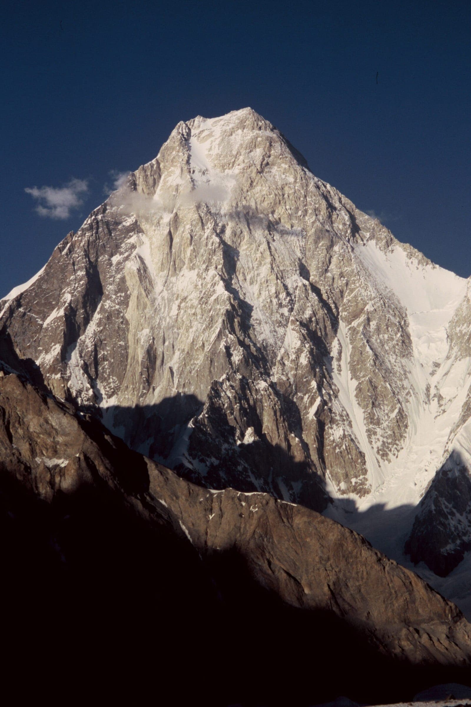
Gasherbrum IV
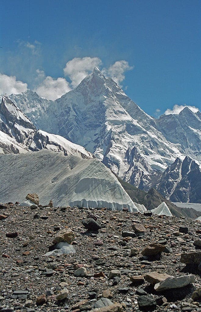
Masherbrum (K1)
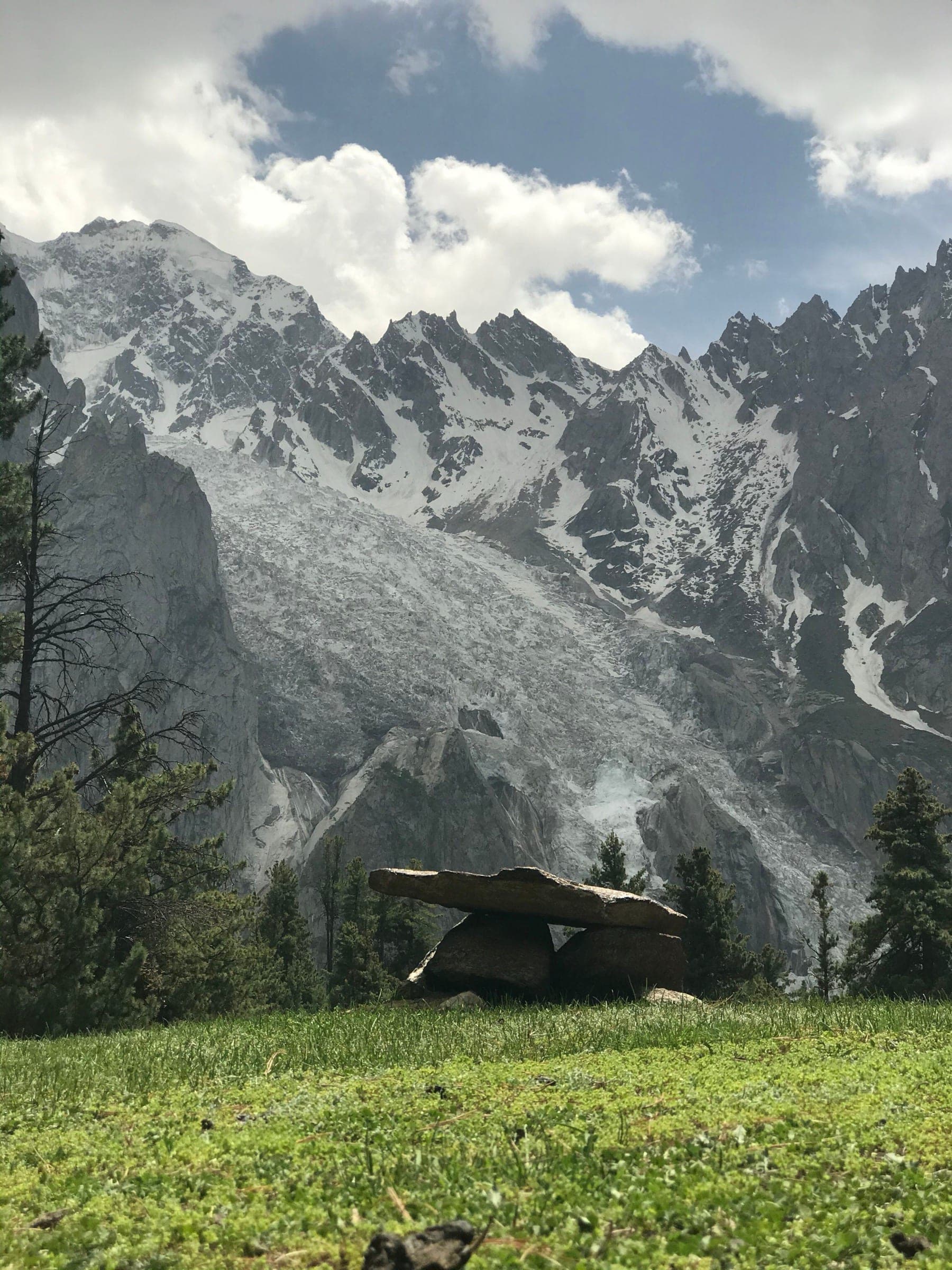
Distaghil Sar
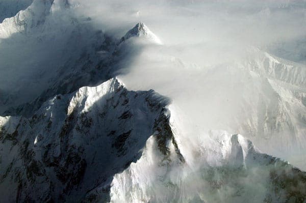
Ultar Sar
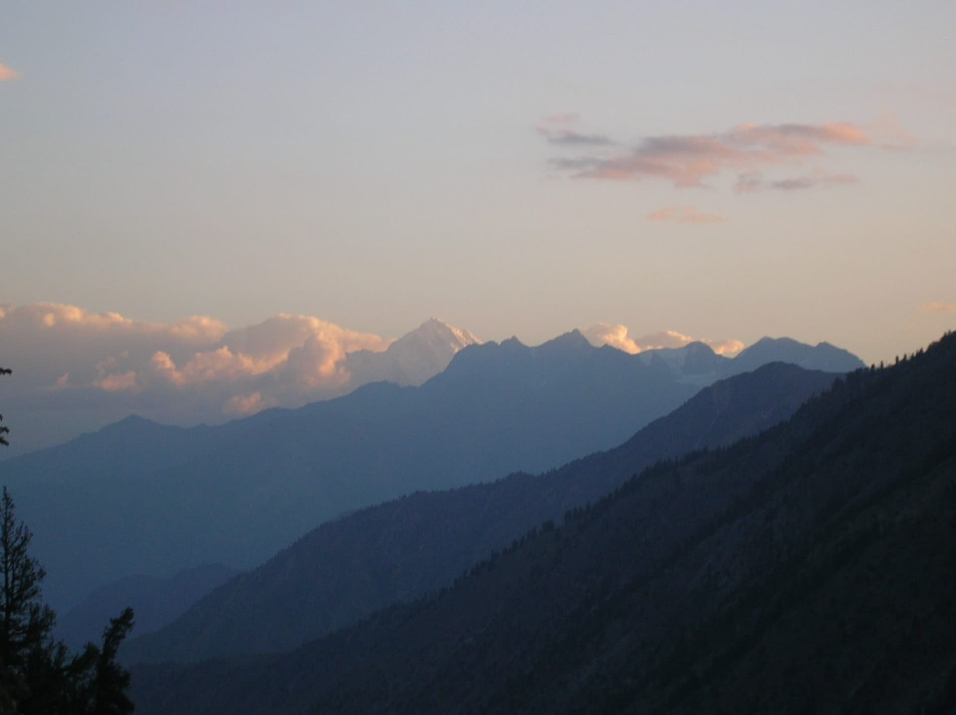
Haramosh
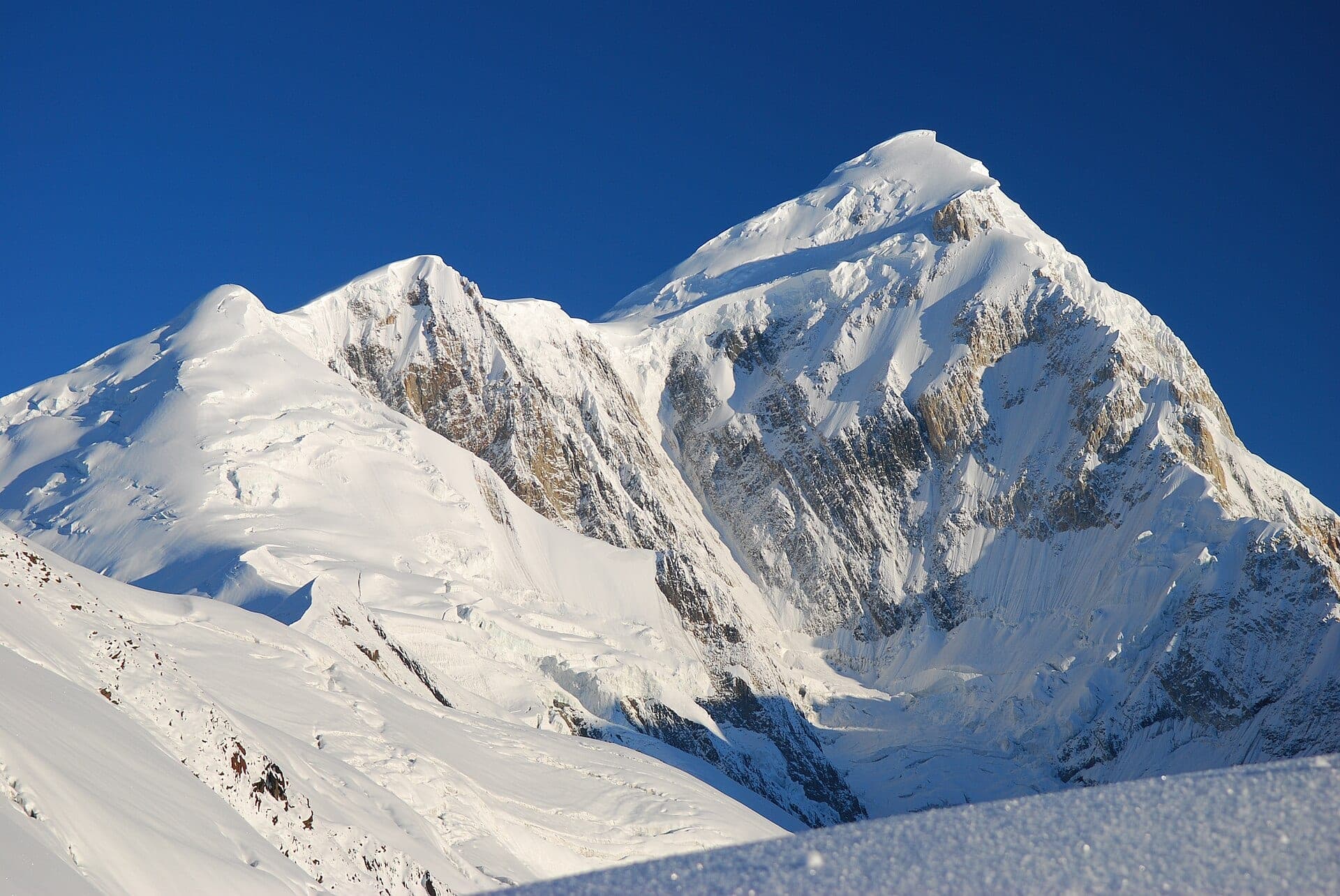
Spantik (Golden Peak)
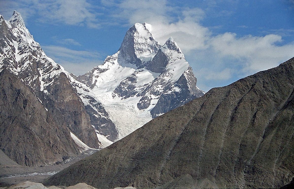
Muztagh Tower
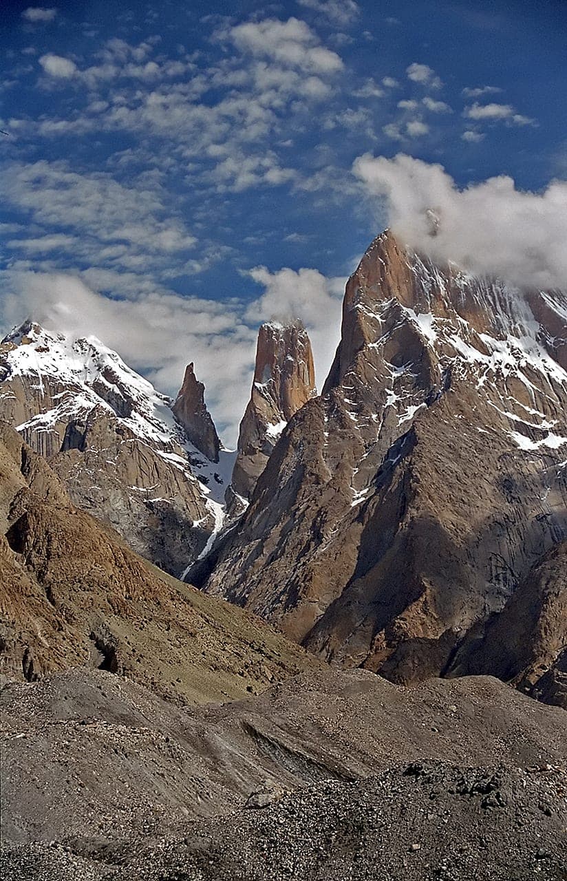
Trango Towers
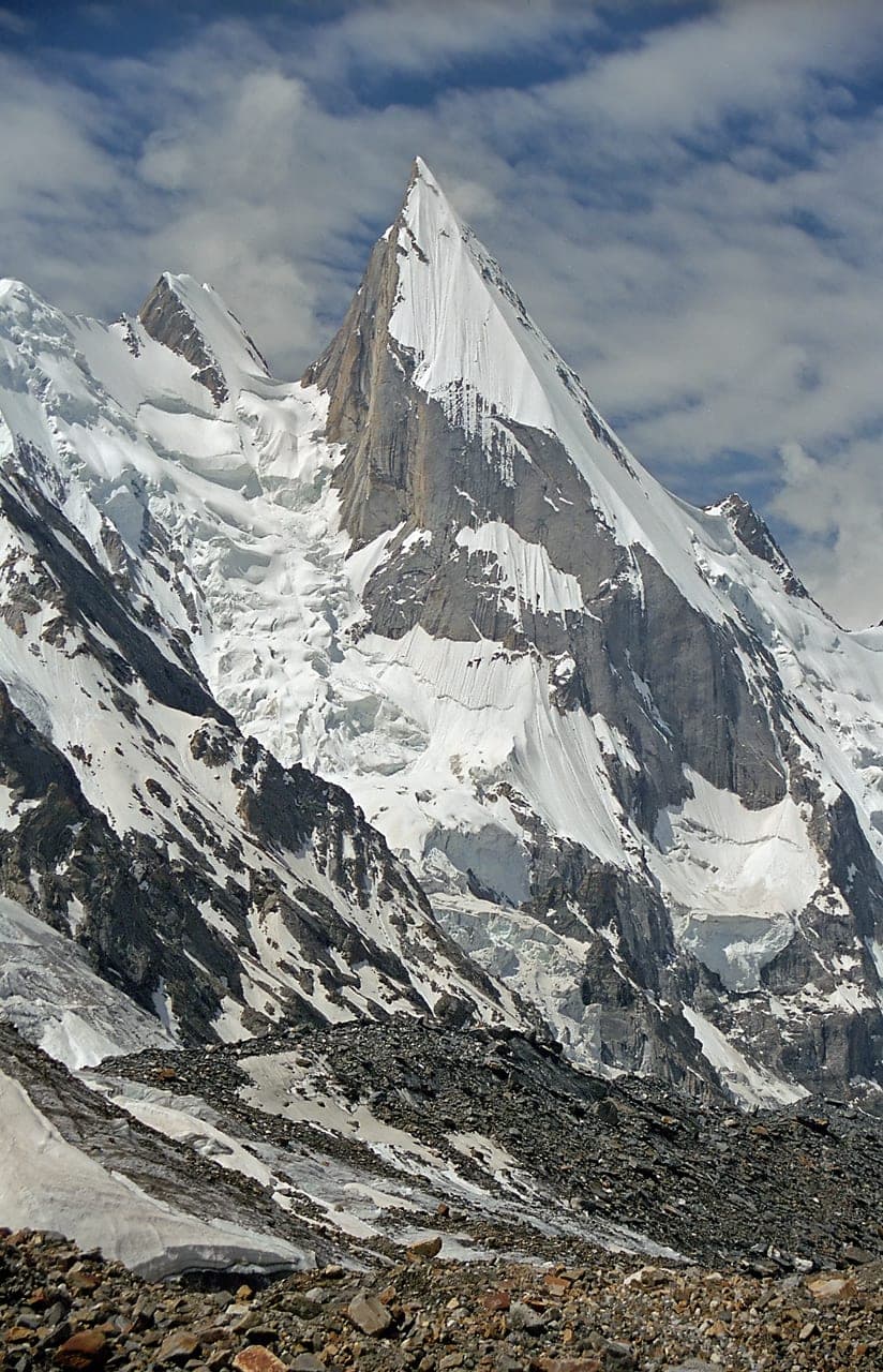
Laila Peak
Charakusa Valley
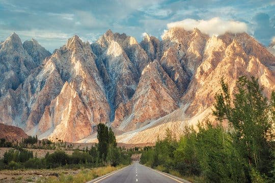
Passu Cones
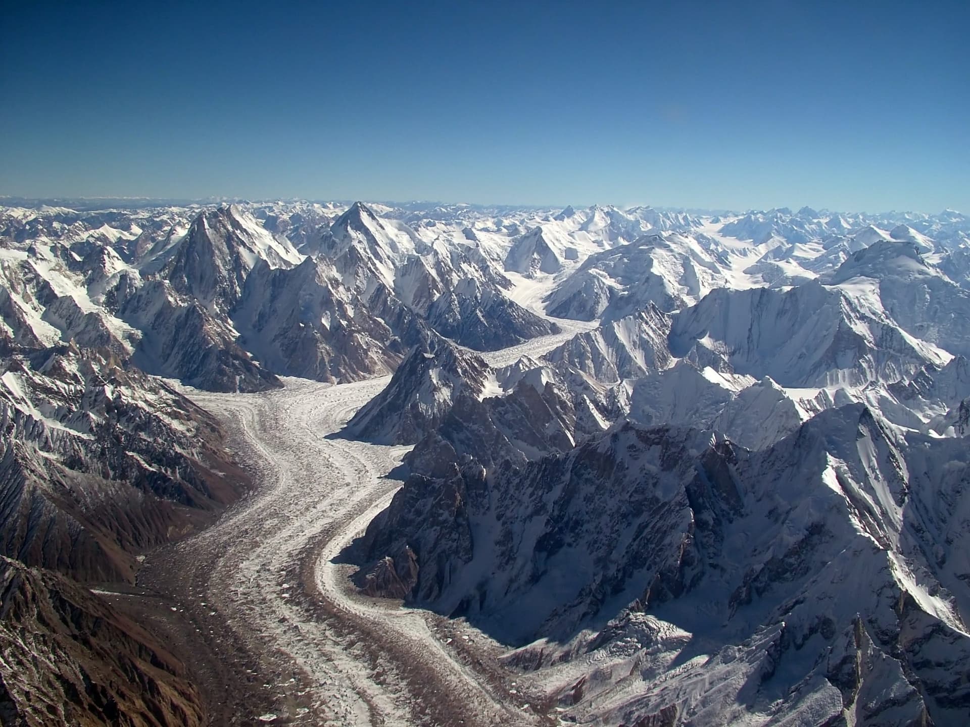
Baltoro Glacier
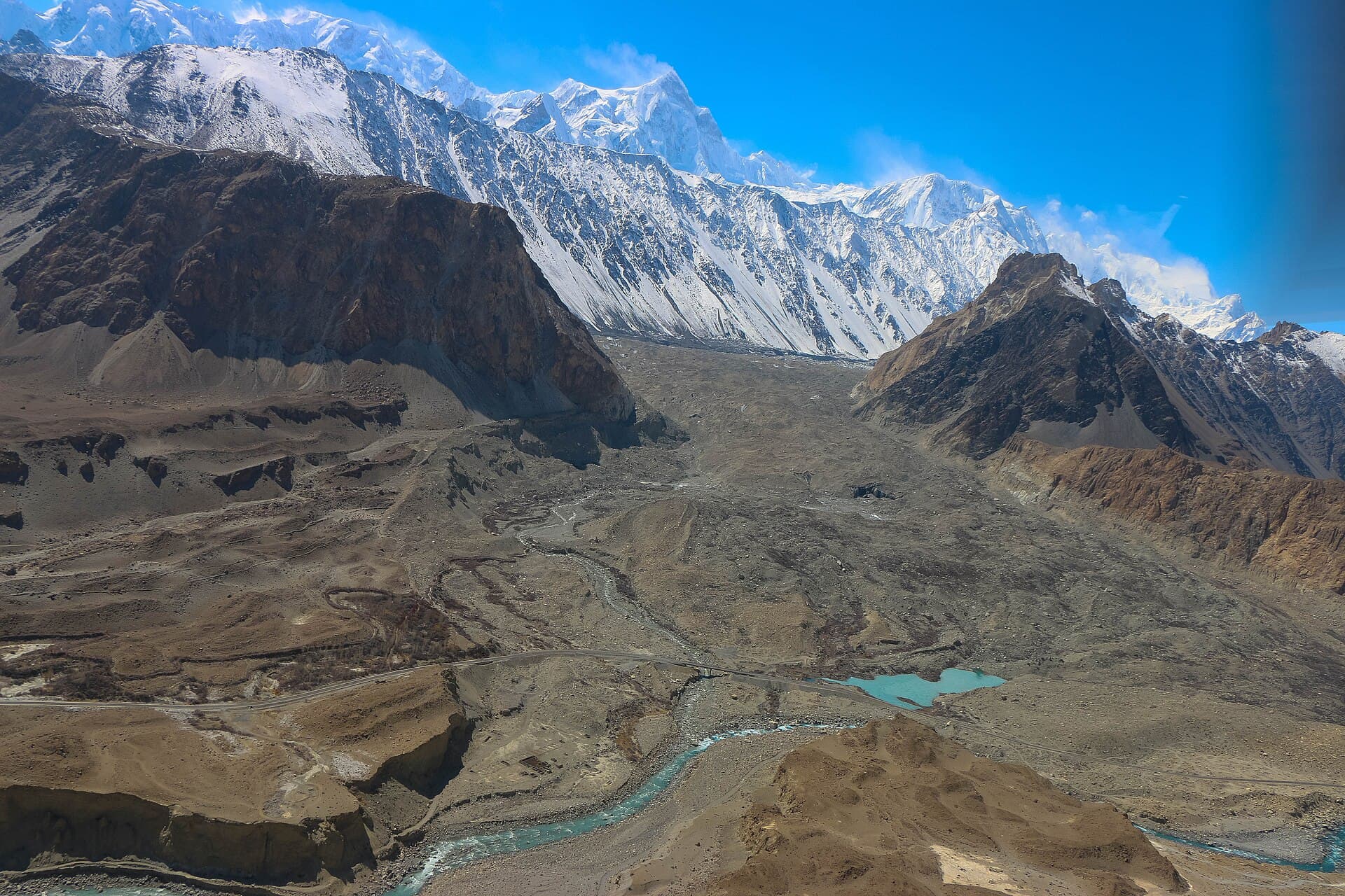
Batura Glacier
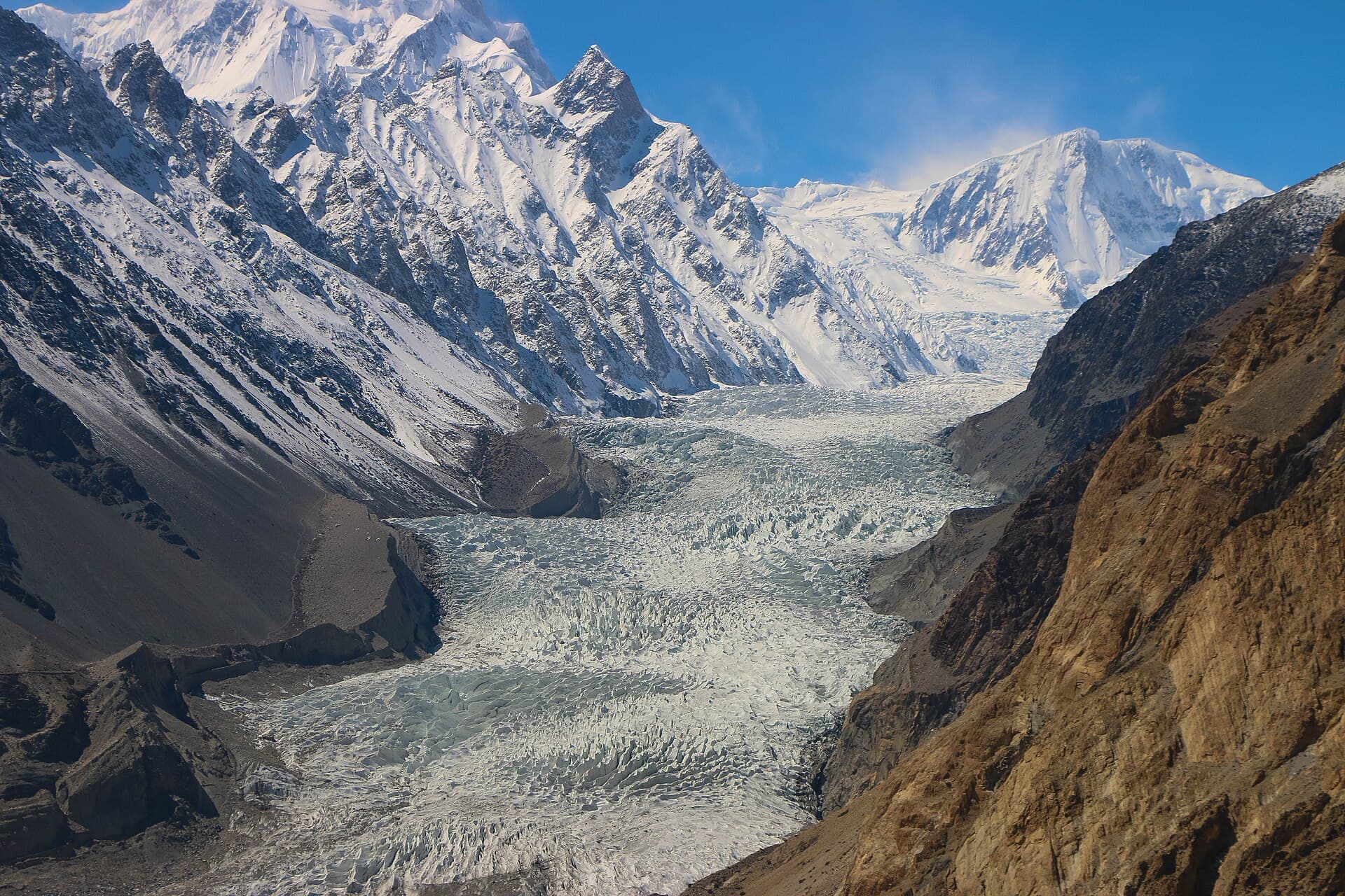
Passu Glacier
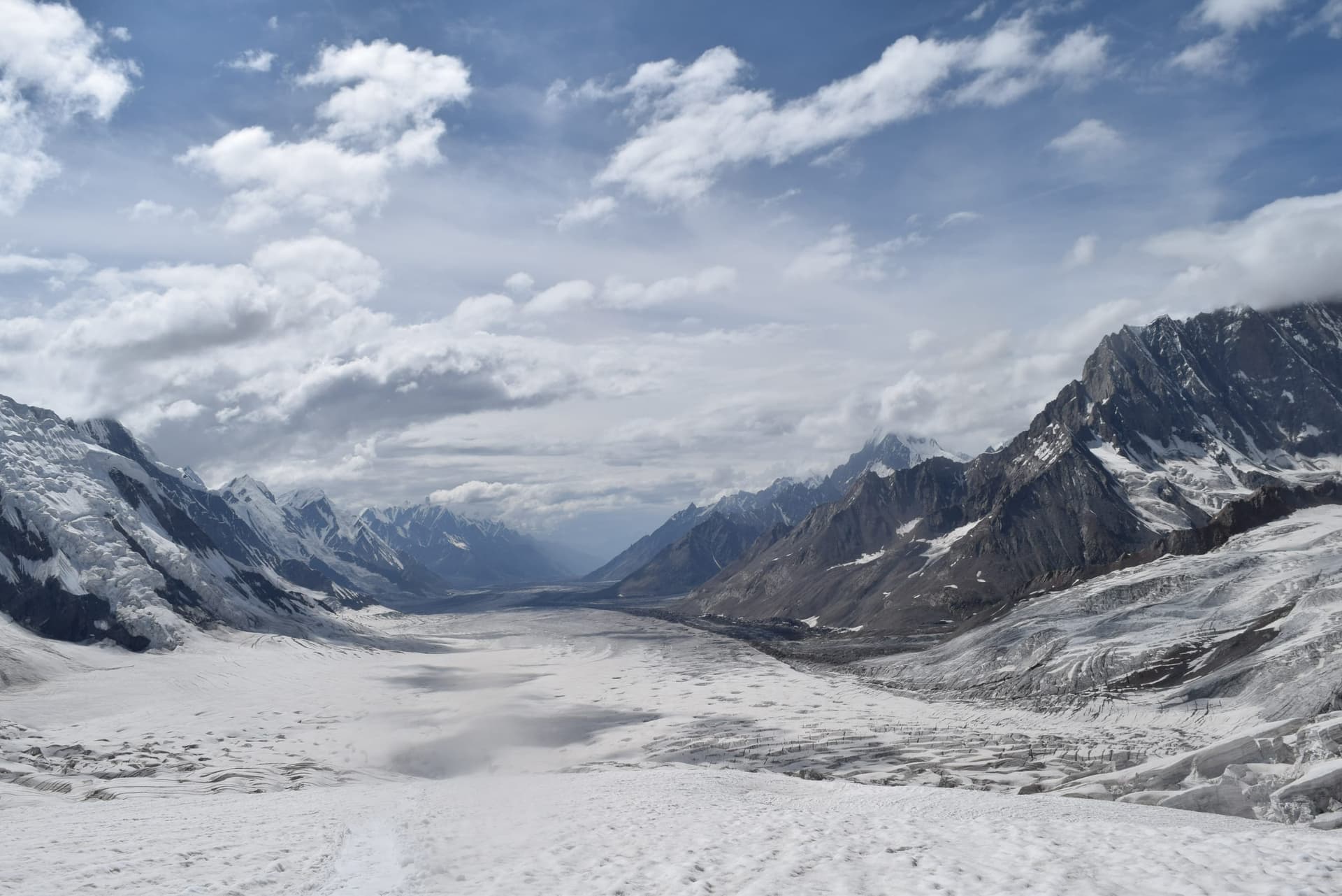
Snow Lake (Lukpe Lawo)
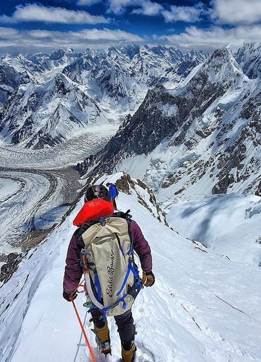
Gondogoro La
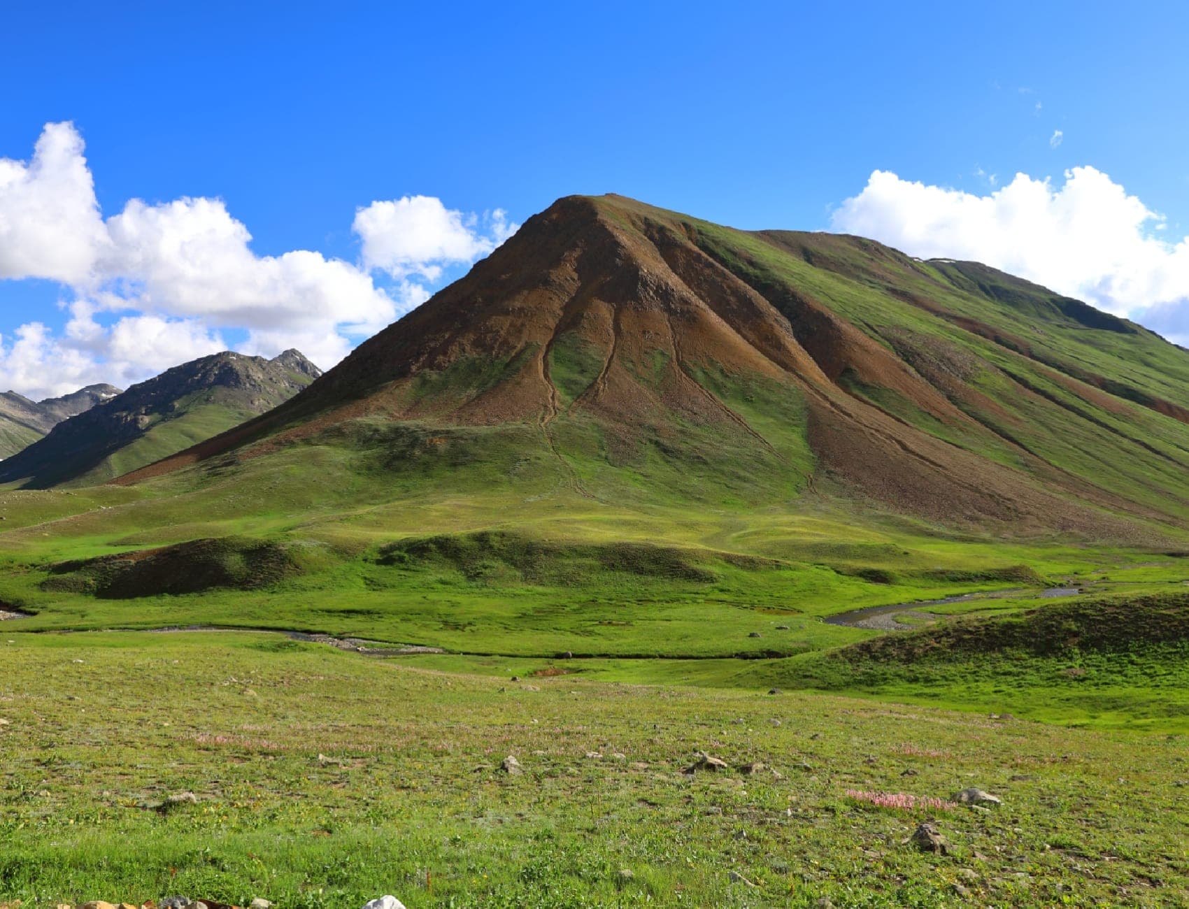
Shimshal Valley
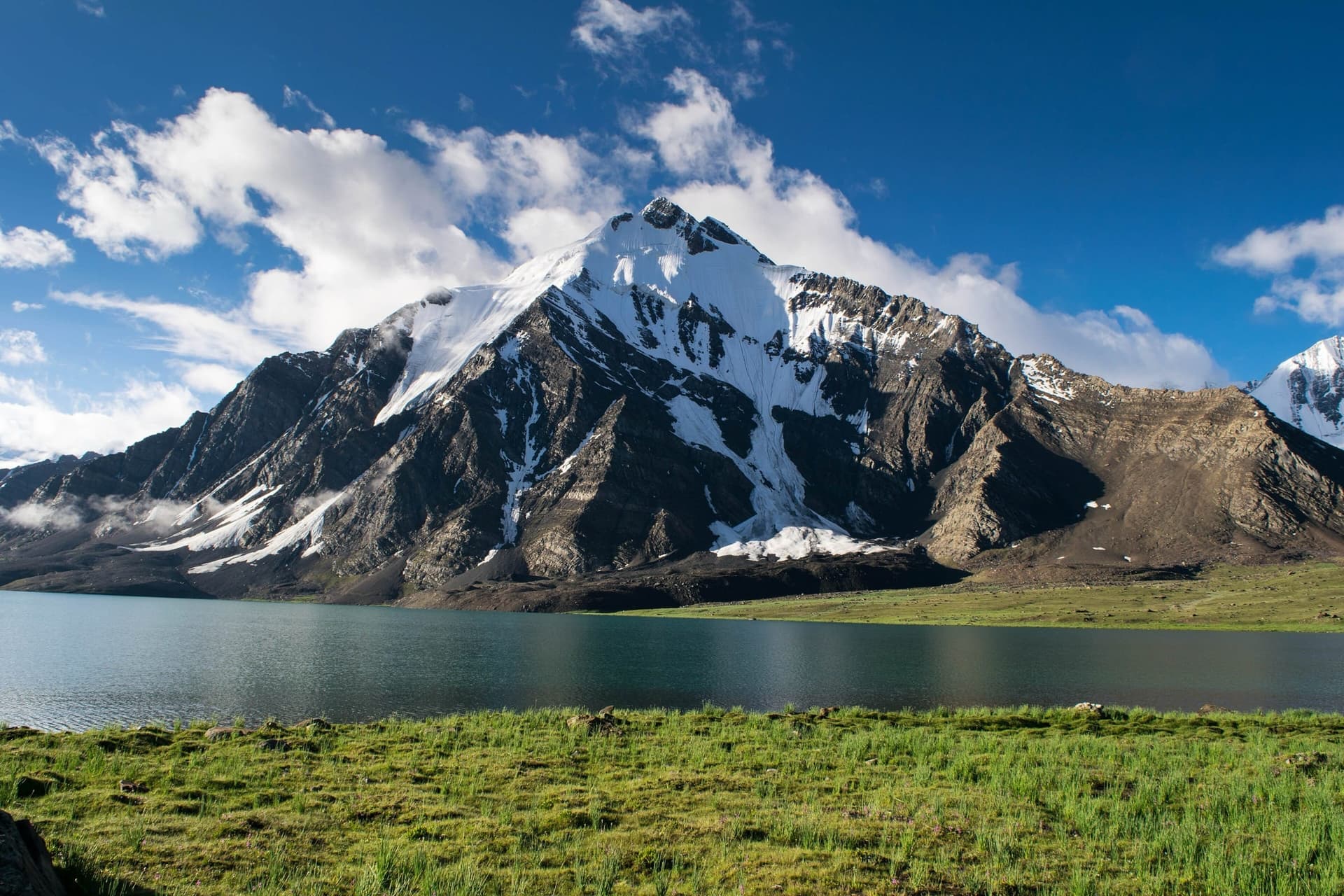
Karambar Lake
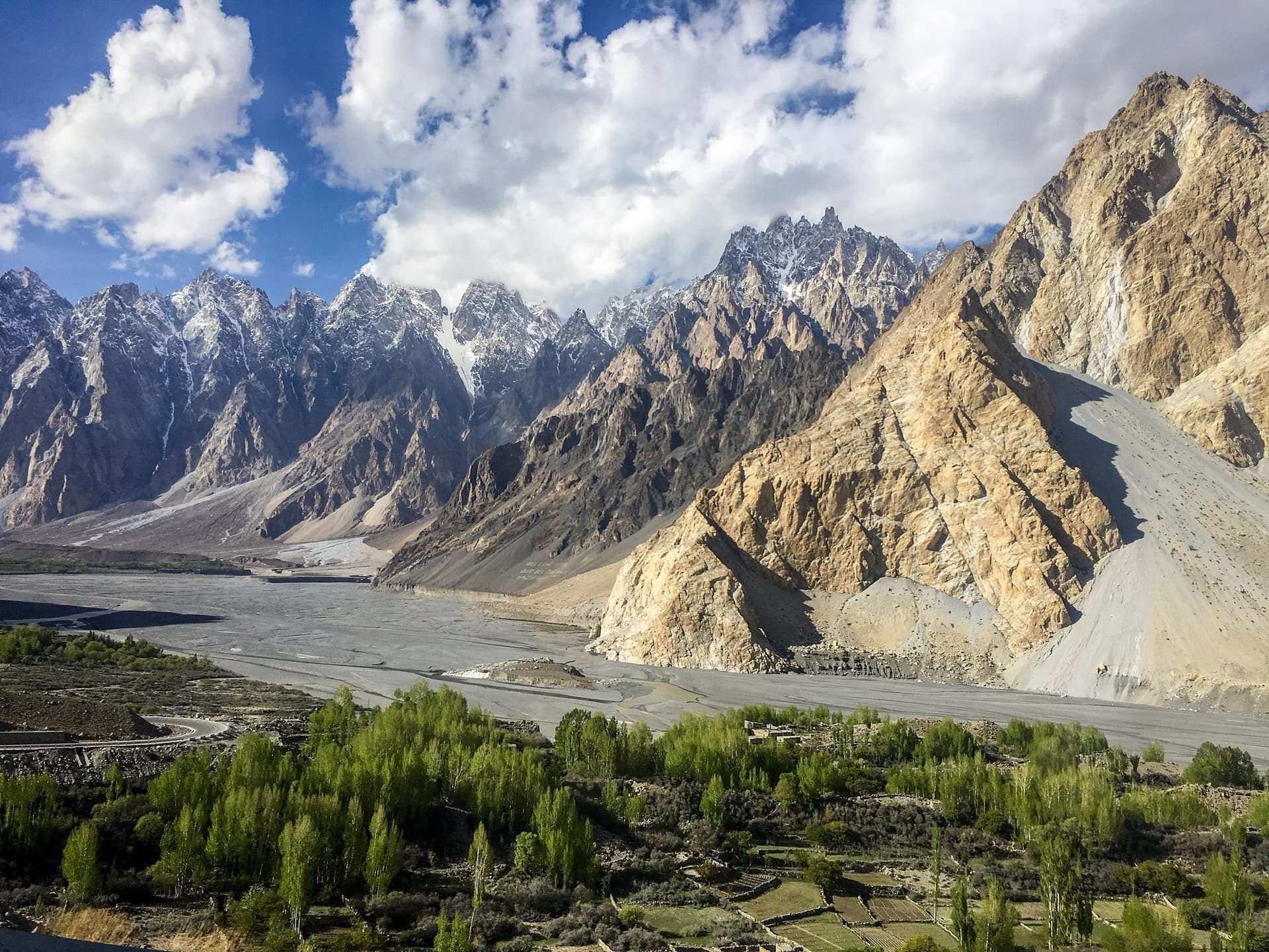
Passu
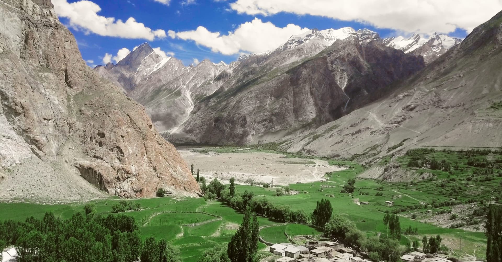
Askole
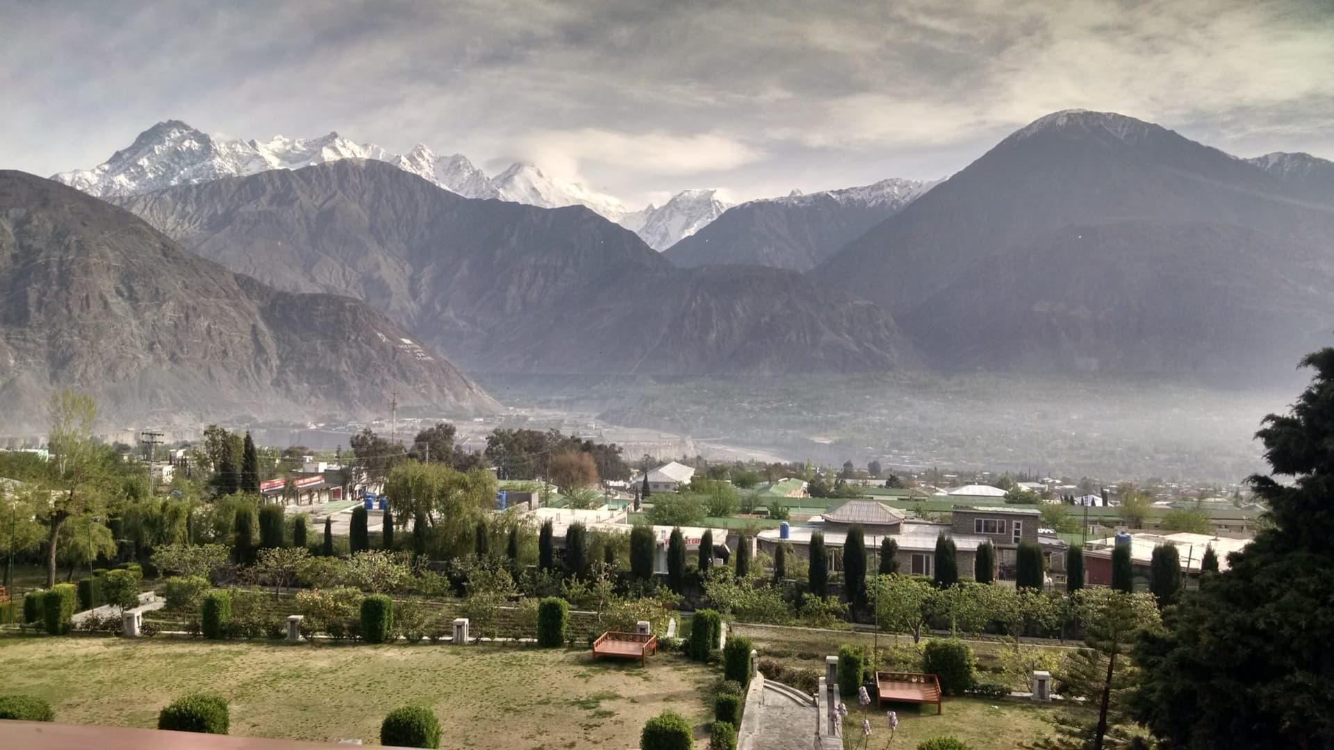
Gilgit
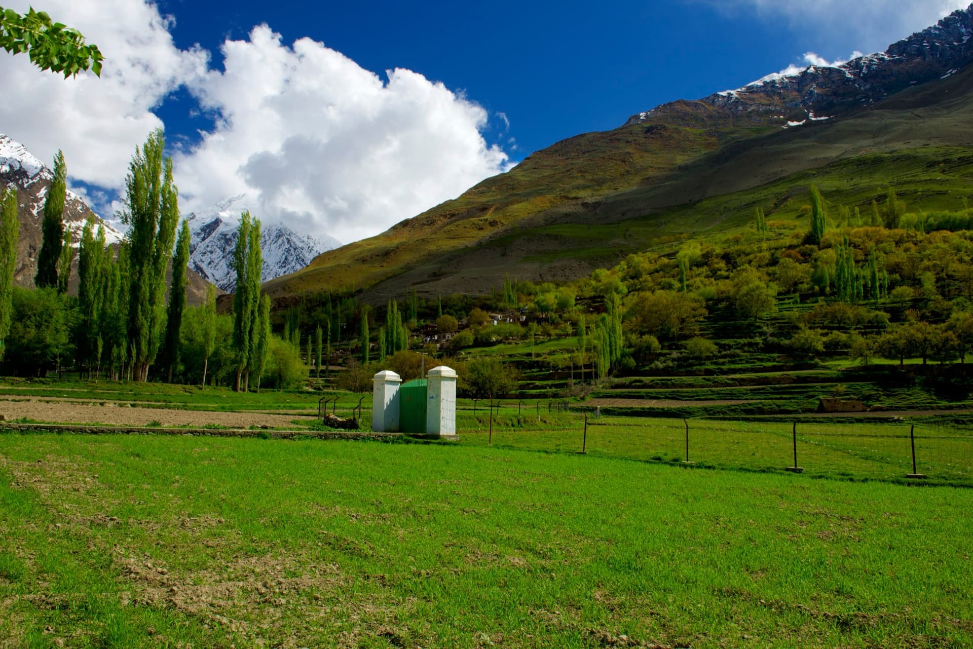
Hopar Glacier, Nagar
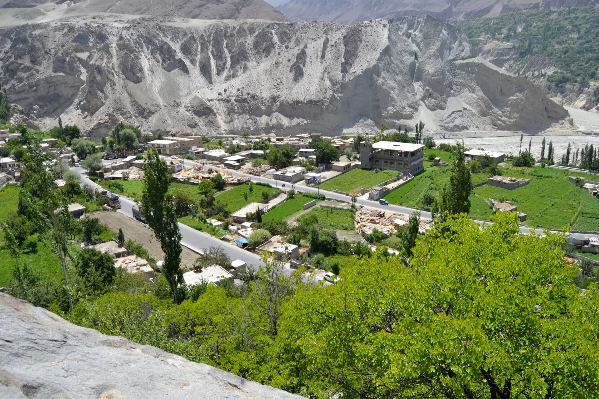
Ganish Village
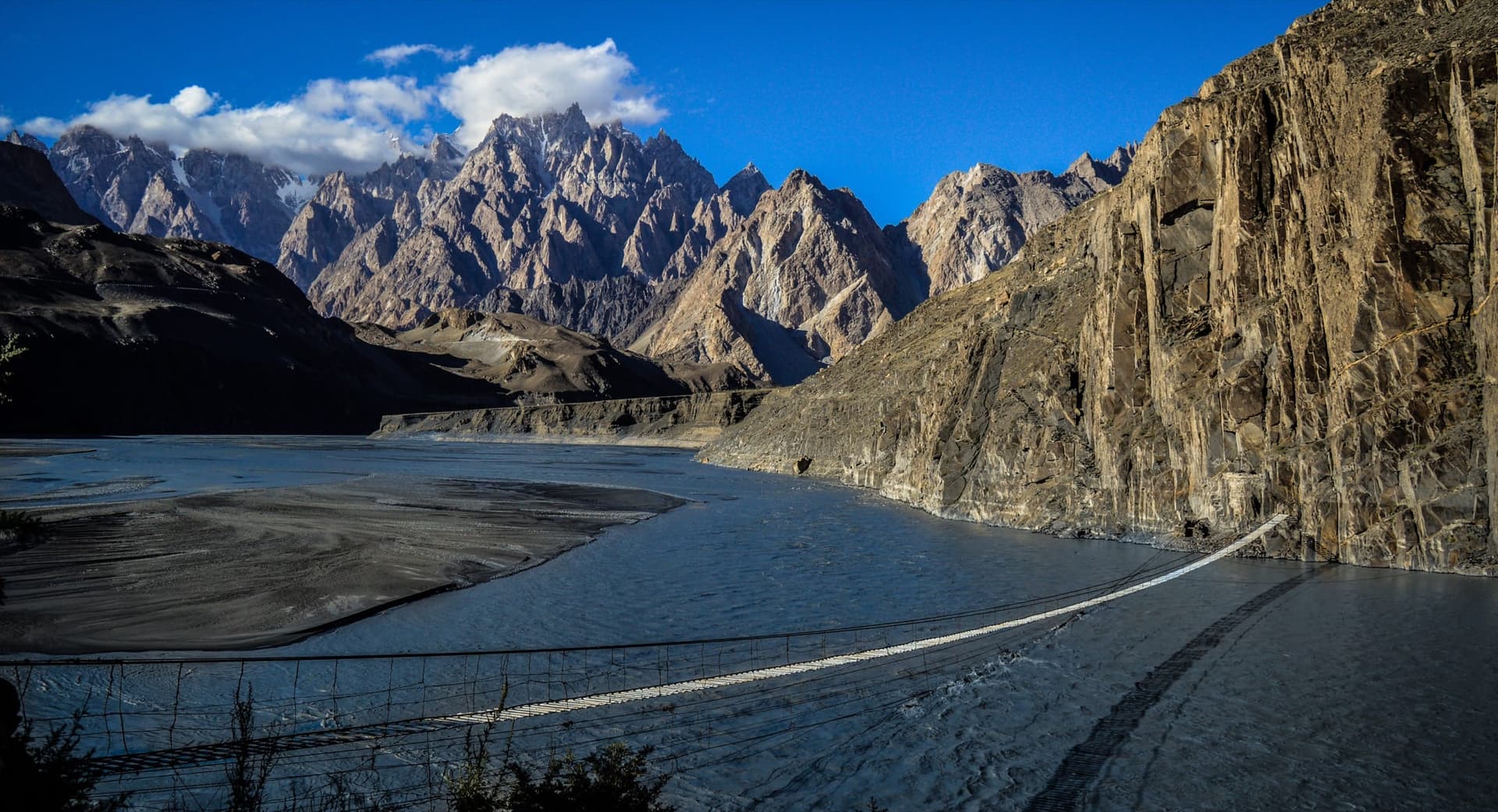
Hussaini Suspension Bridge
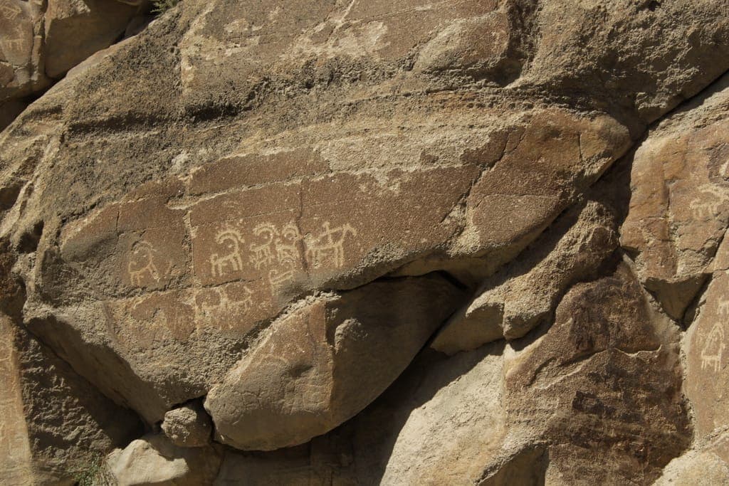
Sacred Rocks of Hunza (Haldeikish)
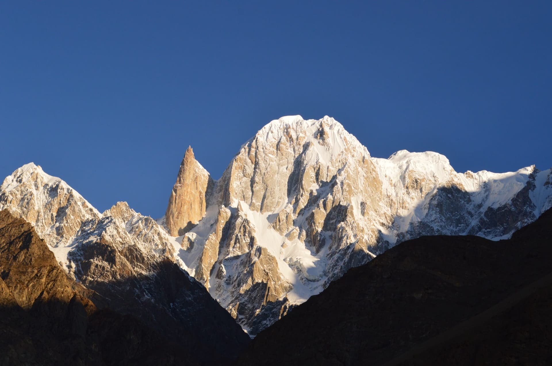
Ladyfinger Peak (Bublimotin)
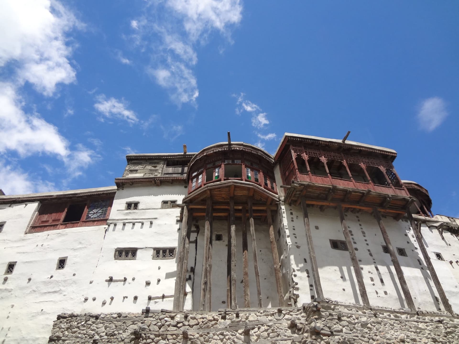
Baltit Fort
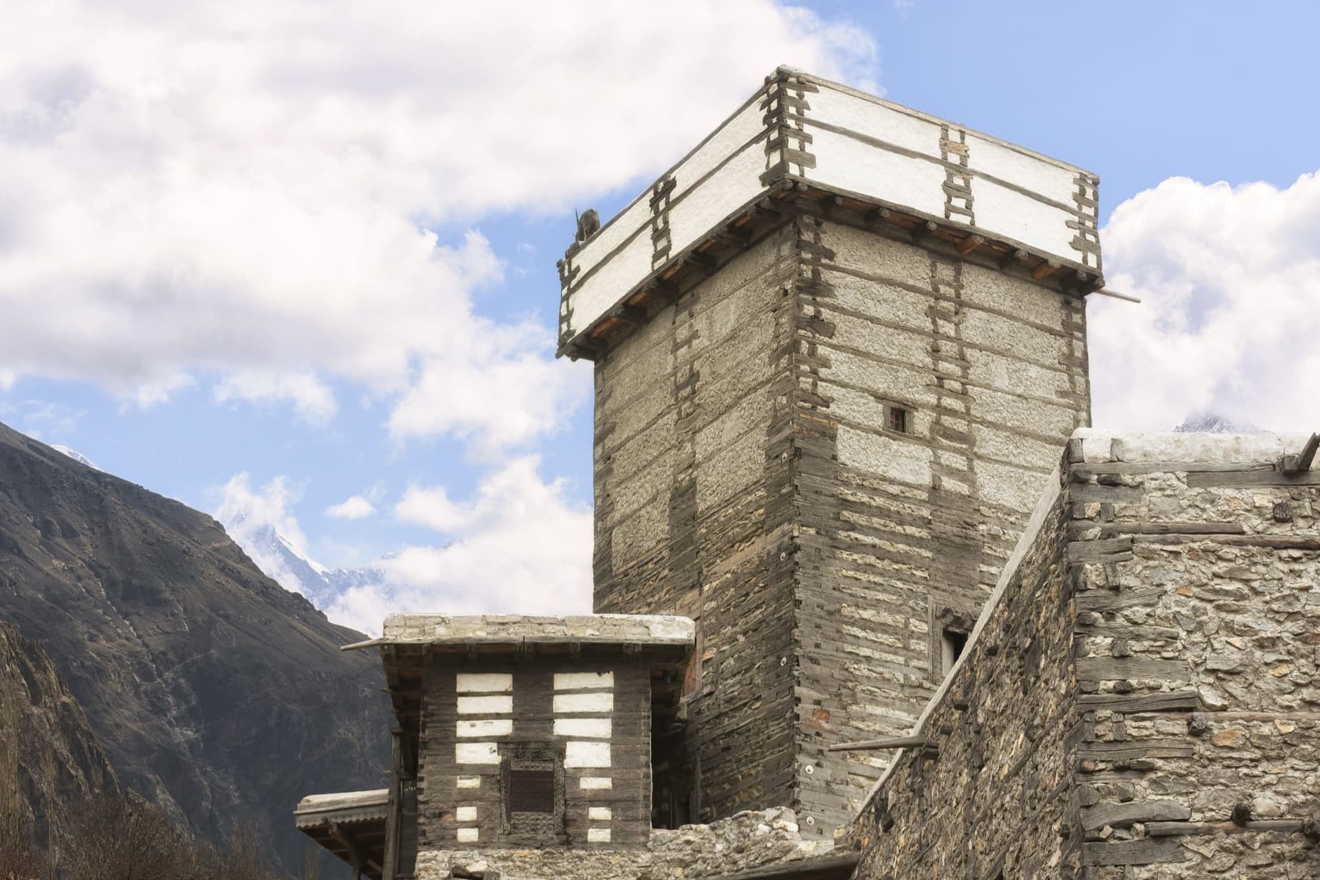
Altit Fort
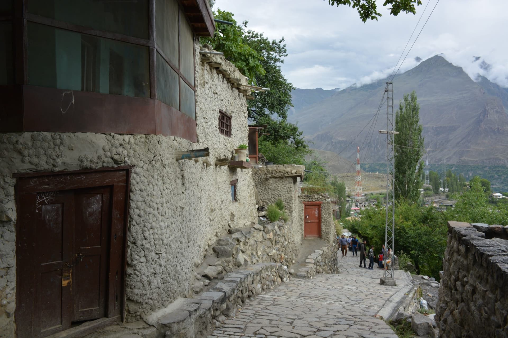
Karimabad
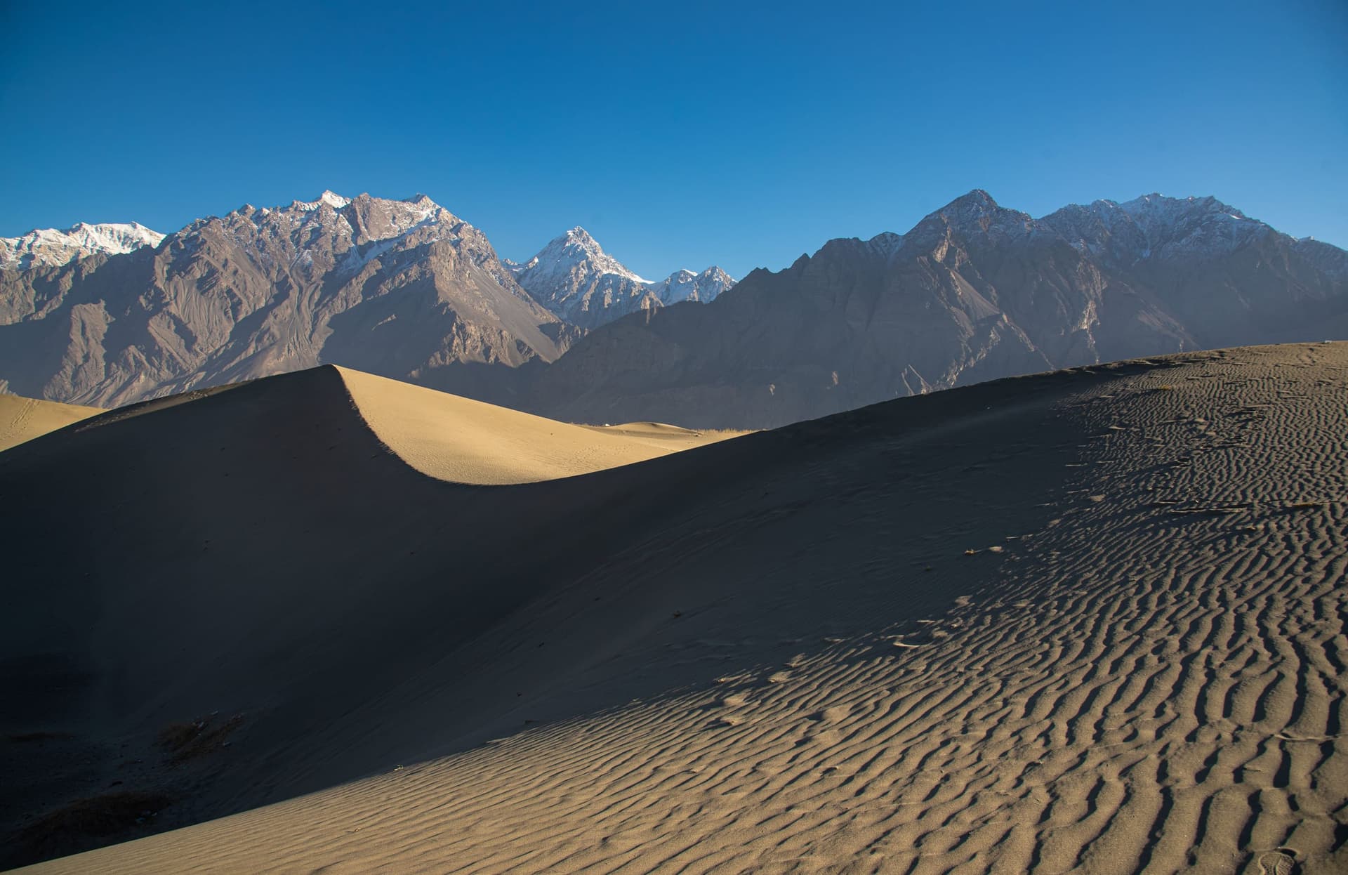
Skardu
Lower Kachura Lake
Gulmit
Khunjerab National Park
A suggested route
Classic Gilgit-Baltistan · 10 Days
A slow loop from Gilgit through Hunza to Skardu and the Deosai plains. Scroll the days, the map keeps pace.
Stop 1 of 6 · Day 1
Gilgit, the Gateway
Day 1
Gilgit, the Gateway
Fly in over the ranges or arrive off the Karakoram Highway. A first afternoon to acclimatise, change money, and walk the bazaar before heading deeper.
Days 2-4
Hunza & Karimabad

The heart of any northern trip. Baltit and Altit forts, the Eagle's Nest sunrise over Rakaposhi, apricot orchards, and an easy day to Passu's cathedral peaks.
Day 5
Attabad & Khunjerab
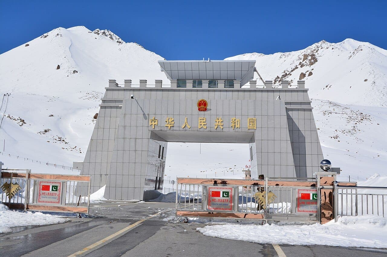
Turquoise Attabad Lake by boat, then the climb to Khunjerab Pass at 4,693m, the highest paved border crossing on Earth, on the edge of China.
Days 6-7
Skardu & Shigar
Cross to Baltistan for the cold desert dunes, Shigar Fort, and Skardu's braided river valleys, the staging post for every K2 expedition.
Day 8
Deosai Plains
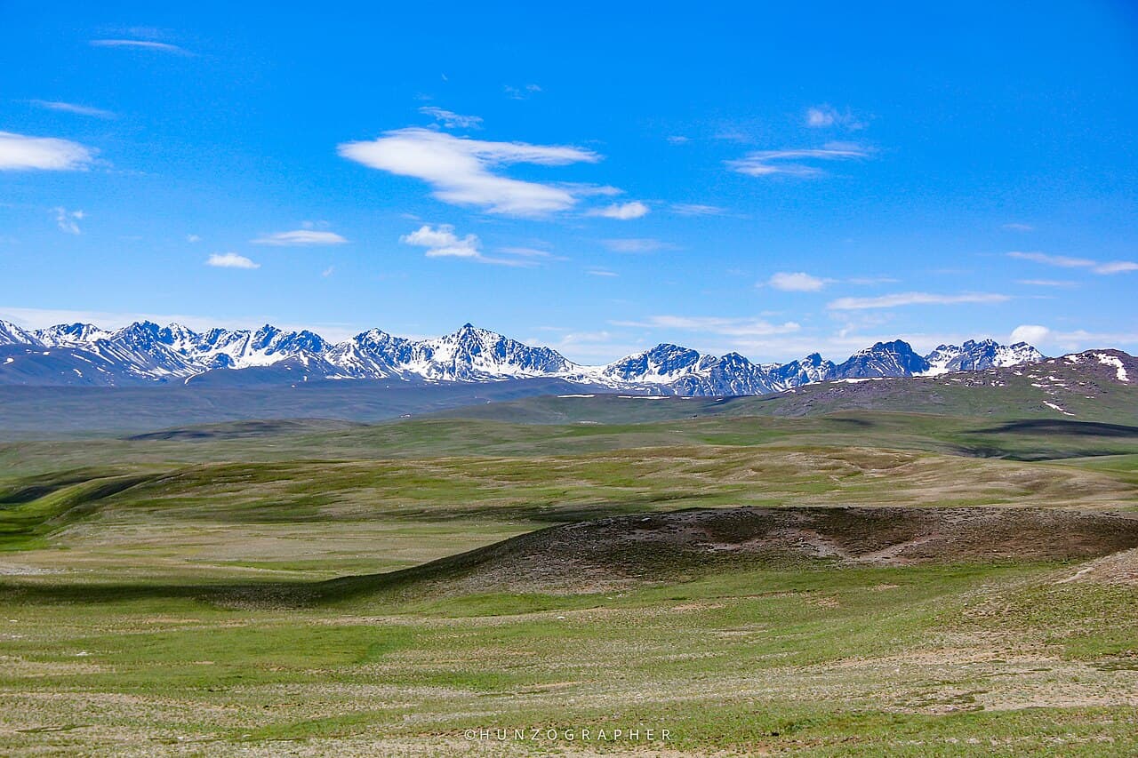
A full day on the second-highest plateau on Earth, wildflowers, marmots, the chance of a Himalayan brown bear, and Sheosar Lake mirroring the sky.
Days 9-10
Wind Down & Fly Out
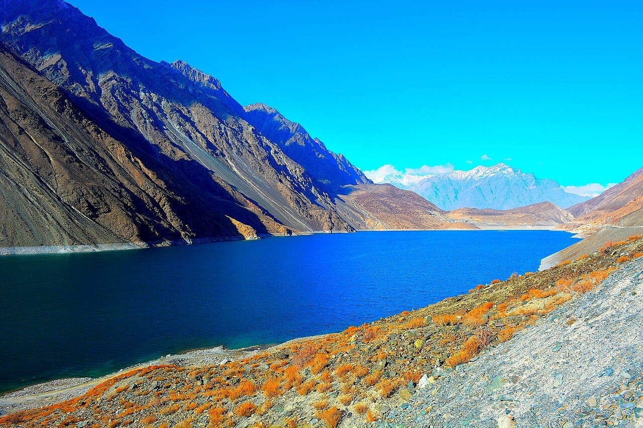
A gentle last day around Sadpara and Skardu's orchards before the flight back to Islamabad, weather permitting, with a road backup always planned.
Timing
When to Go
Apricot and cherry blossom across Hunza and Skardu. Lower valleys green; high passes still closed.
Everything is open, Khunjerab, Deosai, and the trek routes. The busiest and most reliable window.
Golden poplars, clear skies, and the best photography of the year. Cold nights at altitude.
High passes close and roads can block with snow. For hardy travellers and snow festivals only.
Through the year
Festivals & Events
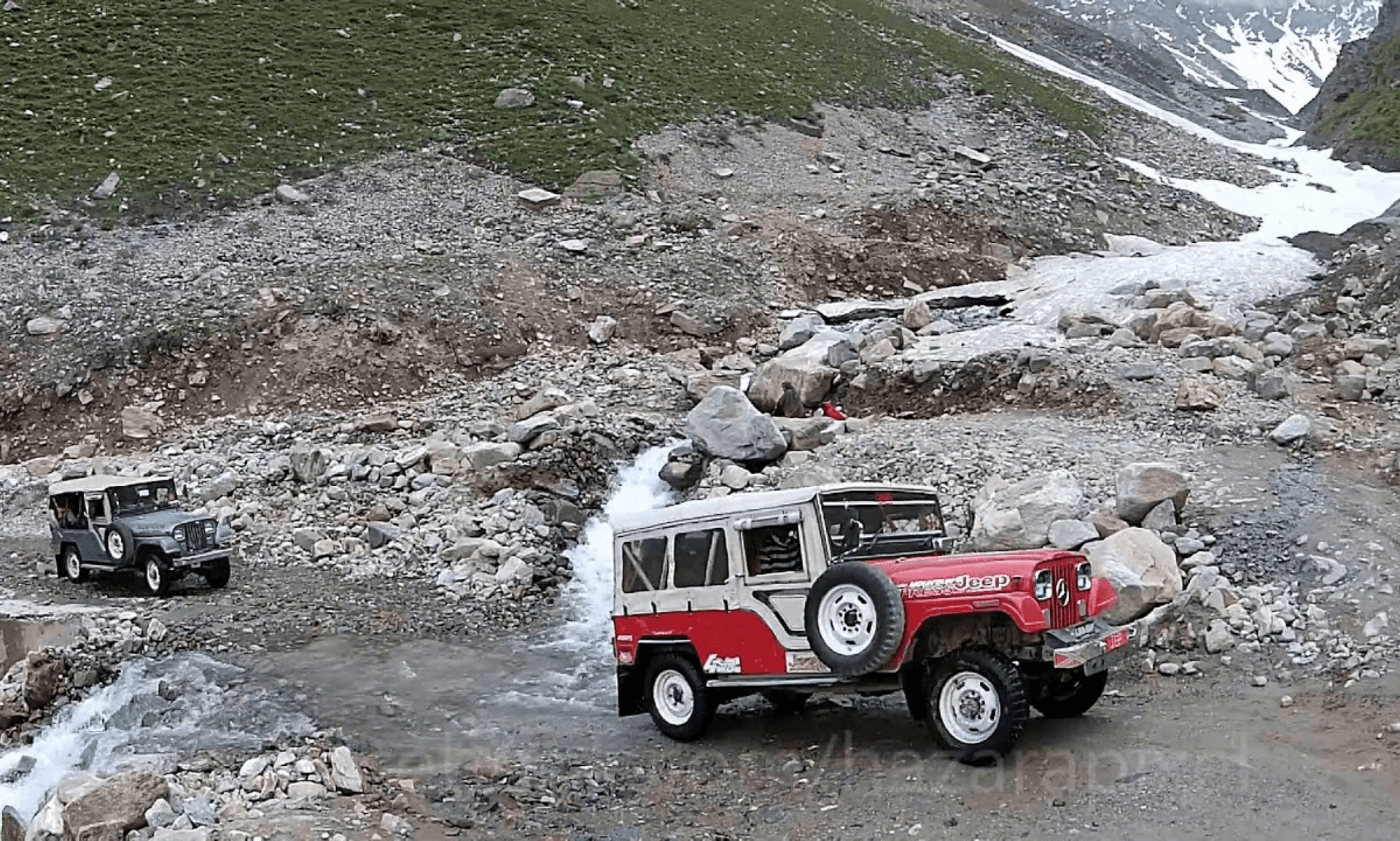 Winter
Snow Cross Jeep Rally
High-altitude winter motorsport, jeeps on a snow-cross course beneath Saran Pir Chanasi.
 March - April
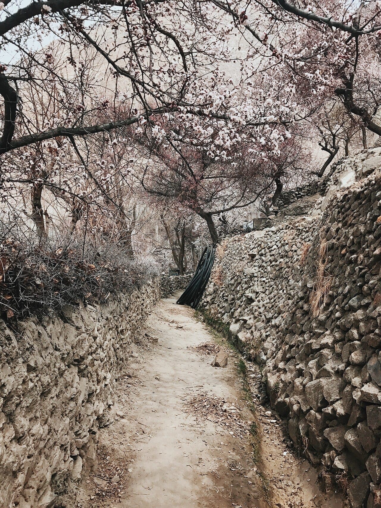
Spring Blossom Festival
Apricot and cherry blossoms wake the orchards of Hunza and Skardu, the first sign of mountain spring.
March 21-23Jashn-e-Nowruz
Persian new year across the northern valleys, spring cleaning, feasts, and the first outdoor gatherings after winter.
March - AprilTaghm (Tukham Rezi) Sowing Festival
The first-sowing spring festival of Hunza, Nagar, and the Baltistan valleys, ritual seeding, music, and shared meals.
 June 21
Ginani Festival
Summer solstice thanksgiving in Hunza and Nagar, wheat harvest rituals and shared meals in the orchards.
SummerWater Sports Festival
Boating and competitive events on Sadpara Lake, the warmest weeks at altitude.
August - SeptemberSarfaranga Cold Desert Rally & Festival
Skardu's cold-desert jeep rally and cultural festival, motorsport, Balti music, polo, and sword dance among the dunes.
SeptemberSilk Road Festival
Gilgit's autumn celebration of trade routes, music, and mountain culture, a harvest-season counterpoint to summer polo.
 21 December
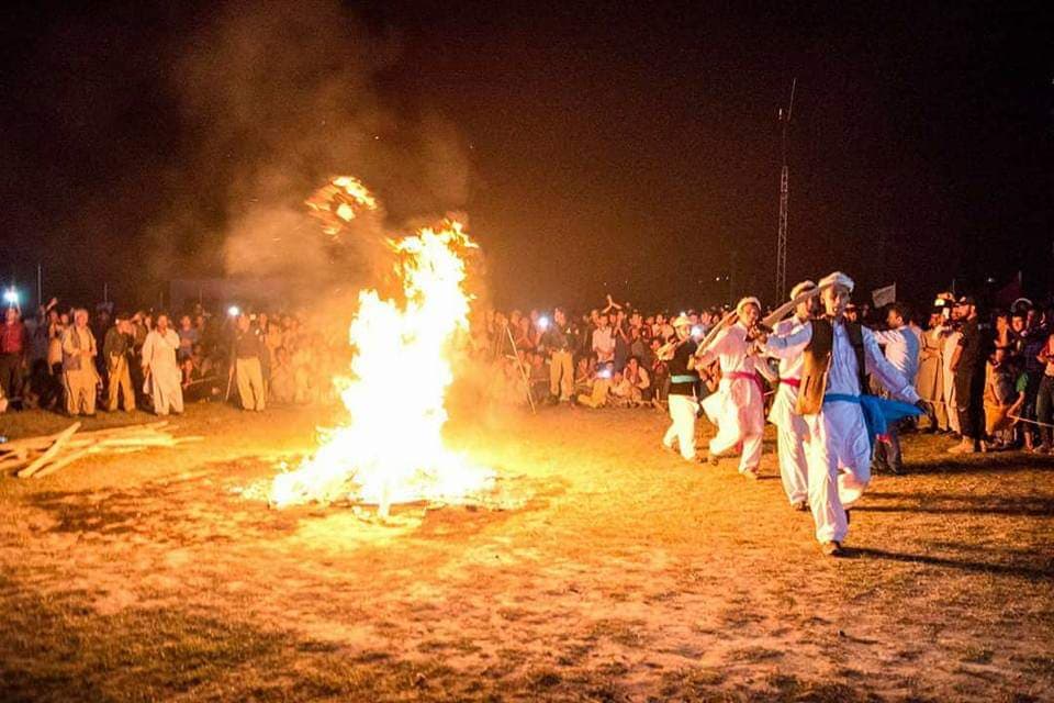
Mayfung Fire Festival
Baltistan's winter solstice fire festival, bonfires, torches, music, and dance to light the longest night in Skardu.
Eat & culture
A Mountain Table
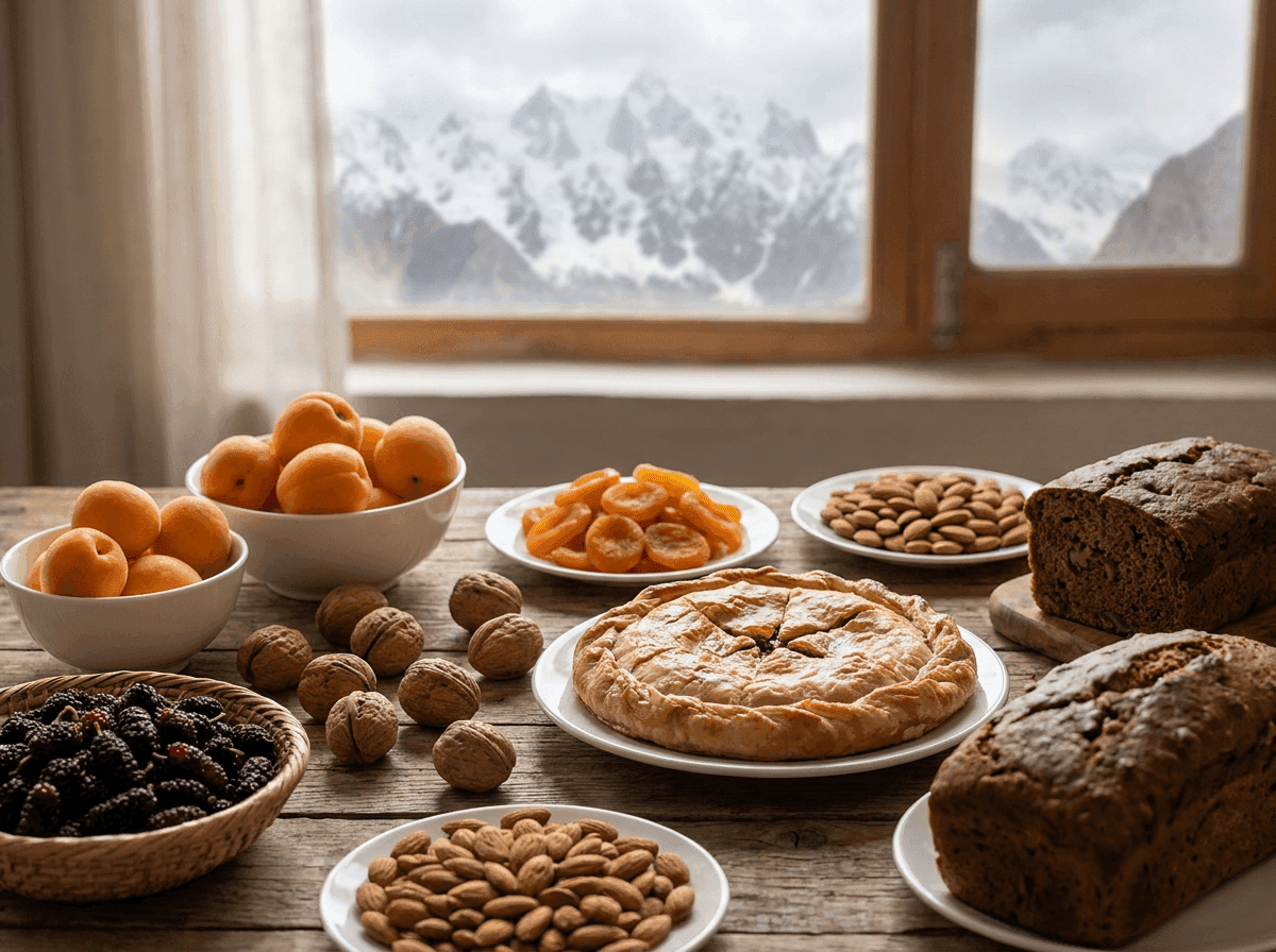
The north eats differently to the plains. Apricots are everything, fresh, dried, pressed into oil, and split for their almond-like kernels. Look for chapshuro (a meat-filled bread), harissa, walnut cake, and buckwheat pancakes with mulberry syrup. Hunza's longevity is local legend; its glacial mineral water and slow food are part of the draw.
Good to know
Getting Around & Practicalities
Getting There
Daily flights Islamabad-Gilgit and Islamabad-Skardu when weather allows, or 1-2 days on the Karakoram Highway. We always plan a road fallback.
Getting Around
Private 4x4 with a local driver is the norm, roads are paved but mountainous. Some valleys need jeeps; we match the vehicle to the route.
Altitude
You'll spend days above 2,500m and cross 4,000m+. We build in acclimatisation and watch for symptoms; the Deosai and Khunjerab days come later in the trip.
Connectivity
SCOM and Zong work best in the north; buy a SIM in Gilgit. Expect dead zones in the high valleys, and enjoy them.
Money
Carry cash (PKR). ATMs exist in Gilgit and Skardu but are unreliable; smaller towns and bazaars are cash-only.
Permits
Standard visa covers most of the region; a few border zones need an NOC, which we arrange. No special trekking permit for the classic valleys.
Journeys Here
Journey finder →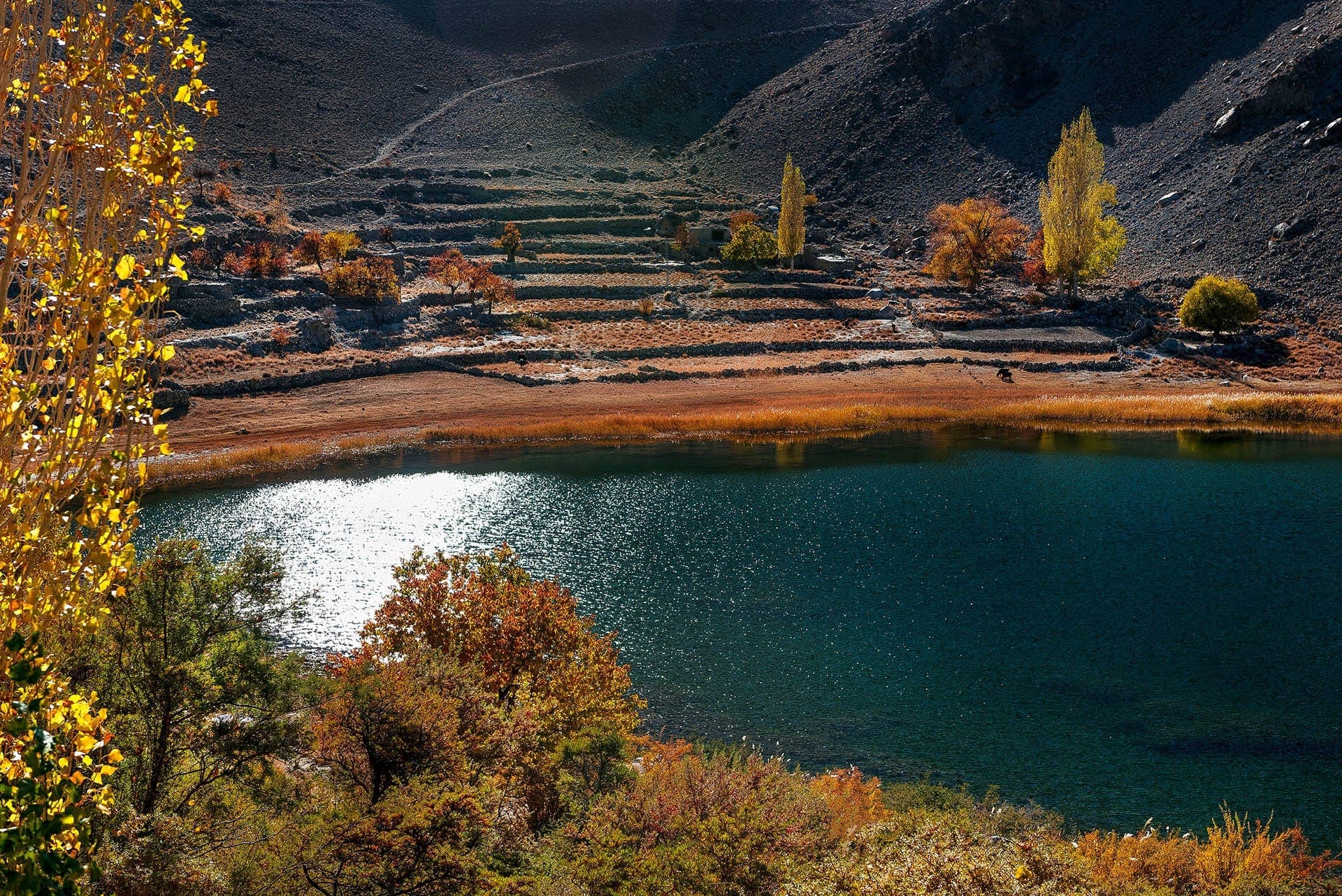
Before you ask
Common Questions
Yes. The northern areas are among the most welcoming parts of Pakistan, with a long history of hosting trekkers and mountaineers. We monitor conditions and handle any required permits arranged for the journeys we operate.
Most of the region is open to tourists with a standard Pakistan visa. A few border-adjacent zones (like areas near Khunjerab) require a No Objection Certificate, we arrange these for every trip we operate.
Fly Islamabad-Gilgit or Islamabad-Skardu (scenic but weather-dependent), or drive the Karakoram Highway over a day or two. We always build a road backup into fly-in itineraries.
Most highlights are accessible by vehicle with short walks. Altitude matters more than fitness, we pace the first days for acclimatisation. Treks like Fairy Meadows or K2 base camp need real preparation; we'll advise honestly.
April-October for the mountains. Spring (Mar-May) for blossom, summer (Jun-Aug) for open passes and treks, autumn (Sep-Nov) for colour and clear skies. Winter closes the high passes.
Ready to See Gilgit-Baltistan?
Tell us your dates and how long you have, we'll shape a route around the weather, the passes, and you.