
Photo: Imrankhakwani · CC BY-SA 4.0
Field guides / Diamer Division / Fairy Meadows & Nanga Parbat / Fairy Meadows
Field guide · Nature
Diamer Division
Diamer District · Gilgit-Baltistan, Pakistan
Fairy Meadows
High meadow route below Nanga Parbat with one of Pakistan's most famous mountain views.
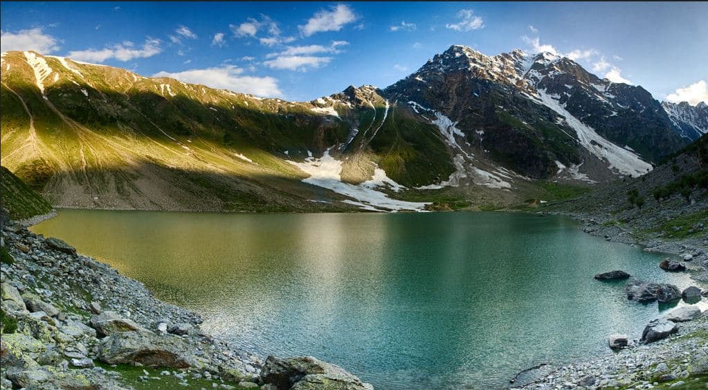
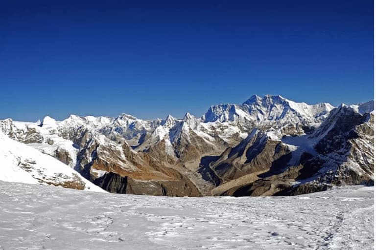
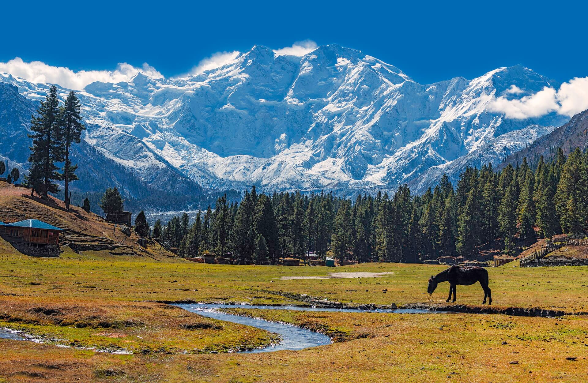
Fairy Meadows is a high alpine grassland of wildflowers and pine, perched at around 3,300 m directly beneath the ice wall of Nanga Parbat, and one of the most beloved short treks in Pakistan. Named 'Märchenwiese' (fairy-tale meadow) by German climbers, it offers the rare combination of an easy approach and a genuinely world-class mountain view: the 8,126 m summit fills the southern sky, close enough to watch avalanches peel off its flanks. It is a designated national park and the launch point for the walk to Beyal Camp and Nanga Parbat Base Camp.
Quick facts
- Where
- Diamer District, Gilgit-Baltistan; part of Nanga Parbat National Park
- Altitude
- About 3,300 m
- Jeep stage
- About 15 km from Raikot Bridge on the Karakoram Highway to Tato village
- Walk
- About 5 km from Tato, 3–4 hours uphill (ponies available)
- Season
- May to September; camps close in winter
- Stay
- Wooden cabins and tented camps; no mains electricity
Why go
- ✦Front-row view of Nanga Parbat's Raikot Face
- ✦Wildflower meadows and pine forest at 3,300 m
- ✦Day walk to Beyal Camp and the base-camp viewpoint
- ✦Log-cabin and tented camps
- ✦Clear Karakoram night skies
About
Fairy Meadows is a high grassland at about 3,300 m on the north side of Nanga Parbat, in Diamer District of Gilgit-Baltistan, northern Pakistan. The Government of Pakistan declared it a national park in 1995, and since 2021 it has been part of Nanga Parbat National Park. Pine forest rings the meadow, log cabins and tents stand at its edge, and the Raikot Face of Nanga Parbat, 8,126 m, fills the view to the south. Early German climbers called it Märchenwiese, the fairy-tale meadow, and the English name followed.
Geography and Surroundings
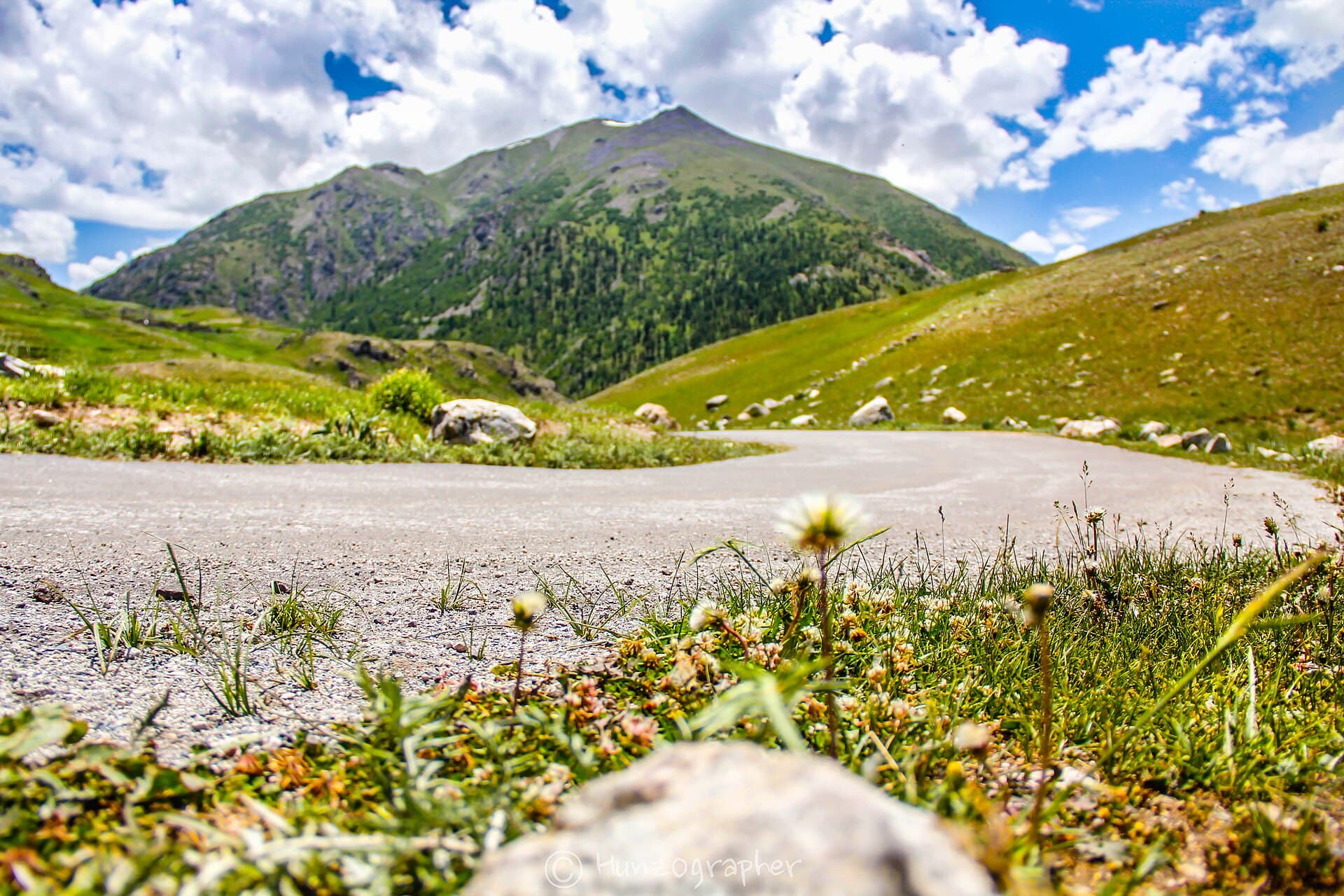
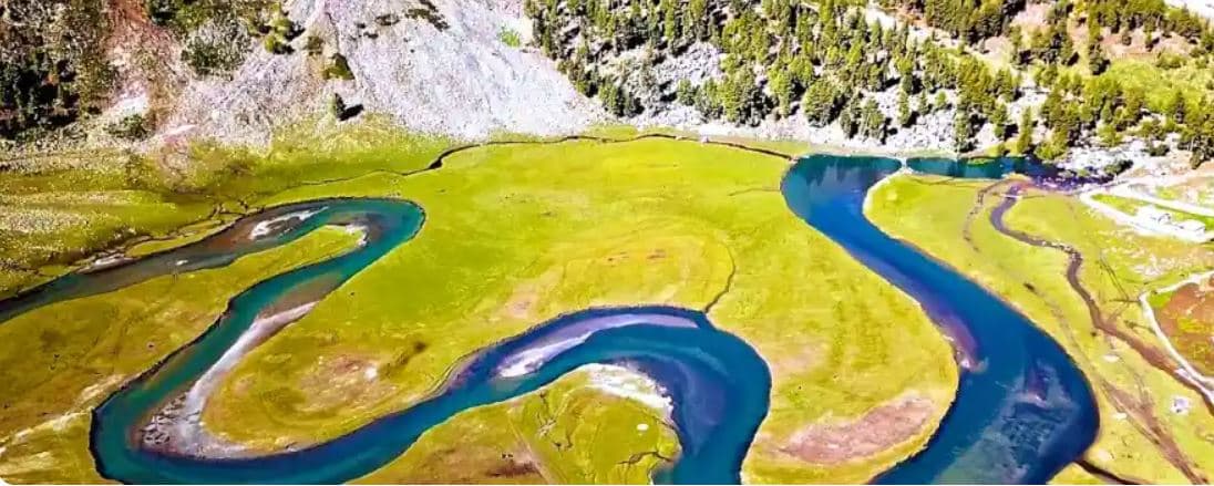
The meadow sits at the head of the Raikot valley, a side valley that drops north to the Indus and the Karakoram Highway at Raikot Bridge. From the bridge a jeep track climbs about 15 km to the village of Tato, and a footpath of about 5 km rises through forest to the meadow. Beyond it the trail continues to Beyal Camp and the viewpoint above the Raikot Glacier, the approach to Nanga Parbat's north base camp. Chilas is the nearest town.
What Visitors Will See
- Nanga Parbat's Raikot Face across the meadow, close enough to watch snow slides on its flanks
- Pine forest opening onto open grassland and wildflowers in early summer
- The Raikot Glacier from the Beyal Camp side
- Log cabins and tented camps at the meadow's edge
- Sunrise and sunset light on the summit
- Clear, dark night skies
Why Visit
Few places in the world put an 8,000-metre peak this close for so short a walk. The jeep ride is an adventure in itself, the walk in is half a day, and then you are sitting on a meadow facing one of the great mountain walls on Earth, with time to walk on to Beyal Camp or simply watch the light change.
Climate and Seasons
The season runs from about April or May to the end of September. Summer days are mild and sunny but the sun is strong at this altitude, and nights are cold even in July. Snow can linger on the trail early in the season, and the jeep track and camps close in winter.
How to Reach
Drive the Karakoram Highway to Raikot Bridge, where local jeeps wait. The track to Tato is narrow, single-lane and carved into the cliff, and only authorised local drivers run it; allow about an hour. From Tato walk up through the forest to the meadow, three to four hours at an easy pace, or hire a pony. Take the climb slowly: the height gain is real.
Responsible Travel
Accommodation is simple cabins and camps with no mains electricity, run by local families, so book ahead and pay locally. Carry all litter back down to Tato, keep to the main paths across the meadow, and use the camps' toilets rather than the forest. Warm layers and a good sleeping setup matter more than anything you could buy there.
Interesting Facts
- Declared a national park in 1995; part of Nanga Parbat National Park since 2021
- The German name Märchenwiese means 'fairy-tale meadow'
- Nanga Parbat's summit rises nearly 5 km above the meadow
Fairy Meadows in pictures
Photos: Moskenes · CC BY-SA 4.0 · Imrankhakwani · CC BY-SA 4.0 · Fasih Orakzai · CC BY-SA 3.0 · Waqas Afzal · CC BY-SA 4.0 (2 photos). Each photo's own credit and licence link is shown when you open it.
Planning tip
Best Time to Visit, May to September; snow can linger on the trail in early season and the jeep track and camps close in winter.
Getting there, From the Karakoram Highway at Raikot Bridge, a local jeep climbs the famously narrow cliff track to Tato village (about an hour), from where it is a 3-4 hour uphill walk, or a pony ride, to the meadows. The jeep track is single-lane and exposed; only authorised local drivers run it.
Allow, Two to three days to enjoy the meadows and walk to Beyal Camp; more if continuing toward base camp.
What to Do
Questions travellers ask
+How do you get to Fairy Meadows?
Drive the Karakoram Highway to Raikot Bridge, then take a local jeep about 15 km up the cliff track to Tato village. From Tato it is a walk of about 5 km, three to four hours uphill, or a pony ride, to the meadows.
+Can you drive your own car to Fairy Meadows?
No. The track from Raikot Bridge to Tato is narrow, single-lane and exposed, and only authorised local jeep drivers run it. The last stretch from Tato is on foot or by pony.
+When is the best time to visit Fairy Meadows?
May to September. Snow can linger on the trail early in the season, and the jeep track and camps close in winter.
+How high is Fairy Meadows?
About 3,300 metres above sea level, directly below the Raikot Face of Nanga Parbat (8,126 m).
+How many days do you need?
Two to three days to enjoy the meadows and walk to Beyal Camp; more if you continue toward Nanga Parbat Base Camp.
+Is Fairy Meadows in Pakistan?
Yes. Fairy Meadows is in Diamer District of Gilgit-Baltistan, in northern Pakistan, on the north side of Nanga Parbat.
+What is the weather like at Fairy Meadows?
Mild, sunny days and cold nights in summer, even in July; early-season snow can lie on the trail. Bring warm layers and sun protection.
Make Fairy Meadows Part of a Trip
GreenPak resorts and journeys within 5 km of Fairy Meadows.
Nearby
Straight-line distance from Fairy Meadows, within 5 km.
Nothing else genuinely close by (within 5 km of Fairy Meadows) is published yet.