

Field guides / Baltistan Division / Shigar / Muztagh Tower
Field guide · Mountains
Baltistan Division
Shigar District · Gilgit-Baltistan, Pakistan
Muztagh Tower
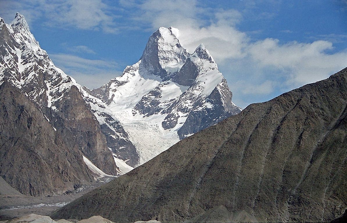
A 7,273 m rock tower above the Baltoro Glacier, its sharp pyramid silhouette is one of the most photographed mountain forms on the K2 approach.
The Muztagh Tower at 7,273 m is one of the most distinctive mountain forms in the Karakoram, a slender granite tower rising above the Baltoro Glacier between Concordia and the Biarchedi Glacier. Two expeditions made the first ascent simultaneously in 1956: a British team via the west ridge and a French team via the east ridge. It remains one of the most technically challenging peaks in Pakistan.
Why go
- ✦7,273 m, distinctive granite tower
- ✦First climbed 1956 simultaneously by British and French
- ✦Visible from Baltoro Glacier trek
- ✦West ridge and east ridge routes
An Architect's Mountain
The Muztagh Tower is unlike most Karakoram peaks, rather than a broad massif, it is a true tower: narrow, steep-sided, and almost architectural in profile. Seen from the Baltoro, it rises against the sky like a pencil above a glacier world.
Planning tip
Best Time to Visit, June to August; trekkers see it from the Baltoro route.
Getting there, Via the Baltoro Glacier approach from Skardu and Askole, the Tower is visible from the glacier 8-10 days into the walk.
Allow, Visible during the Baltoro trek; expeditions need 6-8 weeks total.
What to Do
Nearby
Straight-line distance from Muztagh Tower, within 5 km.
Nothing else genuinely close by (within 5 km of Muztagh Tower) is published yet.