
Photo: Guilhem Vellut from Paris · CC BY-SA 2.0
Field guides / Baltistan Division / Skardu & Baltistan / Baltoro Glacier
Field guide · Nature
Baltistan Division
Shigar District · Gilgit-Baltistan, Pakistan
Baltoro Glacier
The 63 km glacier of the K2 trek, leading from Askole to Concordia beneath four of the world's 8,000-metre peaks.
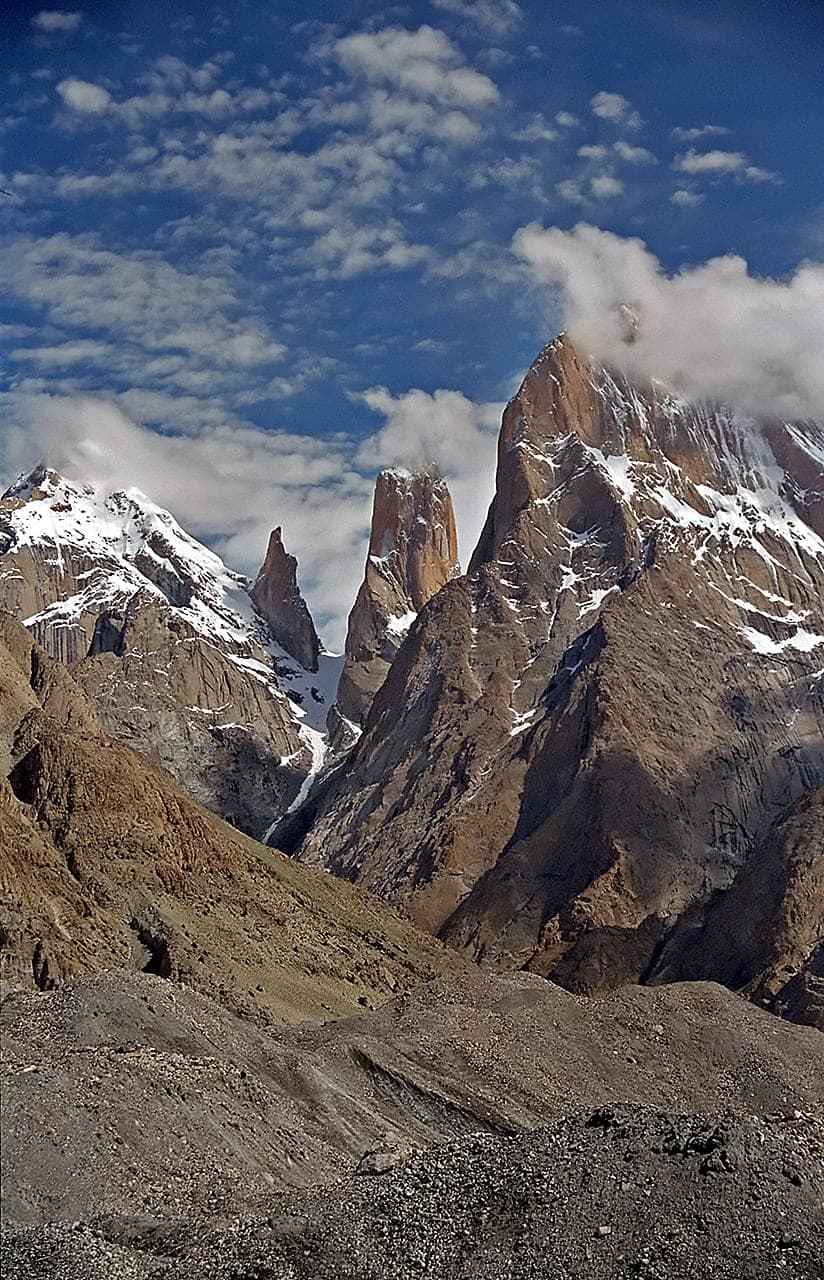
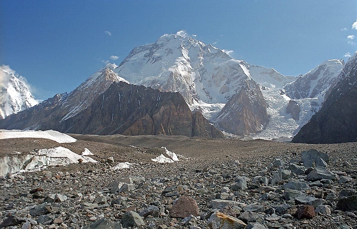
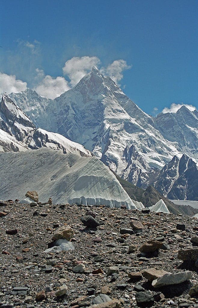
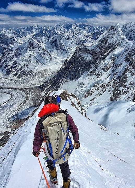
The Baltoro Glacier is a 63-kilometre river of ice in the Karakoram of Gilgit-Baltistan, and the route of one of the world's great treks: from Askole up the glacier to Concordia and K2 Base Camp. Along it rise four of the world's fourteen 8,000-metre peaks, K2, Broad Peak, Gasherbrum I and Gasherbrum II, together with the granite spires of the Trango Towers and Masherbrum.
Quick facts
- Where
- Shigar District, Gilgit-Baltistan; Central Karakoram National Park
- Length
- About 63 km
- Trailhead
- Askole, by jeep from Skardu
- Trek
- About 14 days round trip to Concordia and K2 Base Camp
- Highest points
- Concordia about 4,600 m; K2 Base Camp about 5,150 m
- Best time
- July to August
- Permits
- Foreigners need a permit and a licensed operator
Why go
- ✦K2 viewed from Concordia, the 'Throne Room of the Mountain Gods'
- ✦Gasherbrum I and II from the upper glacier
- ✦Trango Towers, world's largest near-vertical cliff
- ✦Muztagh Tower silhouette on the approach
- ✦Urdukas Camp, first moraine camp with panoramic views
- ✦Broad Peak base camp crossing
About
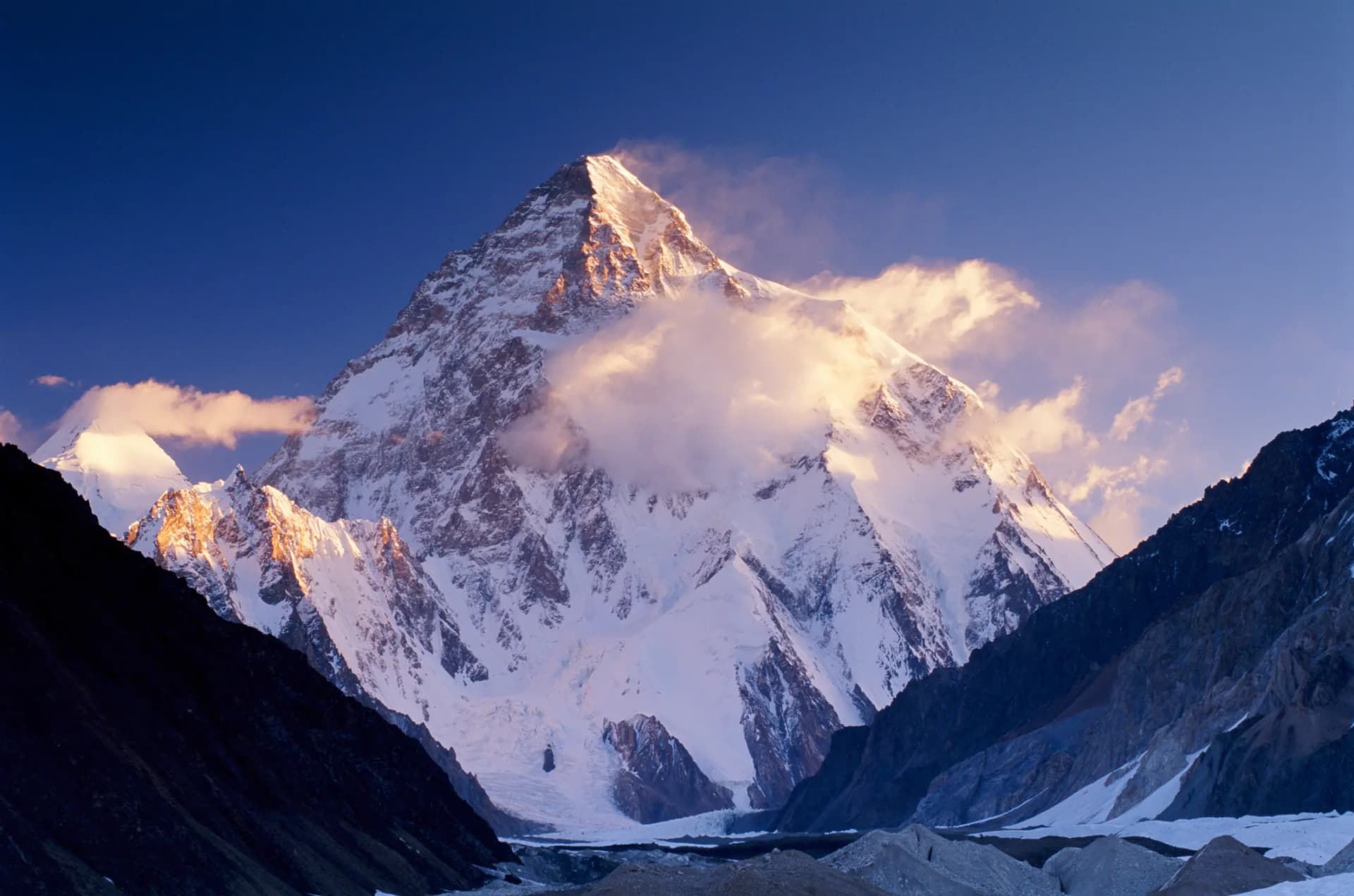
The Baltoro runs through Shigar District inside the Central Karakoram National Park, fed by tributary glaciers that pour off K2, the Gasherbrums, Chogolisa and Masherbrum. At Concordia, about 4,600 metres up, it meets the Godwin-Austen Glacier in a vast ice junction overlooked by K2, the second-highest mountain on Earth at 8,611 metres. The glacier feeds the Braldu River, a tributary of the Indus.
Geography and Surroundings
Trekkers usually drive from Skardu to Askole, the last village, then walk up the Braldu valley to Paiju and onto the ice. The route follows the glacier's moraine past the Trango Towers to Urdukas and Goro, then to Concordia. From there, K2 Base Camp, at about 5,150 metres, is a further day or so; experienced parties sometimes return over the Gondogoro La pass to Hushe instead of retracing their steps.
What Visitors Will See
- K2, Broad Peak and the Gasherbrums from Concordia
- The granite walls of the Trango Towers
- Masherbrum and Chogolisa above the glacier
- Rubble-covered ice, meltwater lakes and ice towers
- Porters and mule trains on the moraine
Why Visit
Nowhere else on Earth can you stand among so many of the world's highest mountains on foot. The walk to Concordia, sometimes called the throne room of the mountain gods, is a once-in-a-lifetime journey for experienced trekkers.
Climate and Seasons
High, dry and changeable. July and August are the most stable months for the trek; nights on the glacier are below freezing even in summer, and snow can close the upper route from September.
How to Reach
Fly or drive to Skardu, then take a jeep to Askole, the trailhead. The trek from Askole to Concordia and K2 Base Camp and back usually takes about two weeks. Foreign trekkers need a permit and a licensed Pakistani operator; permits can take several weeks to arrange, so apply well in advance.
Responsible Travel
Use established campsites and toilets, carry all rubbish out of the park, and make sure porters are properly paid and equipped. Acclimatise gradually, and never travel on the glacier without an experienced guide.
Interesting Facts
- About 63 km long, one of the longest glaciers outside the polar regions
- Four of the world's fourteen 8,000-metre peaks rise around it
- K2, at 8,611 m, is the second-highest mountain on Earth
- Concordia sits at about 4,600 m, where the Baltoro meets the Godwin-Austen Glacier
- Part of the Central Karakoram National Park
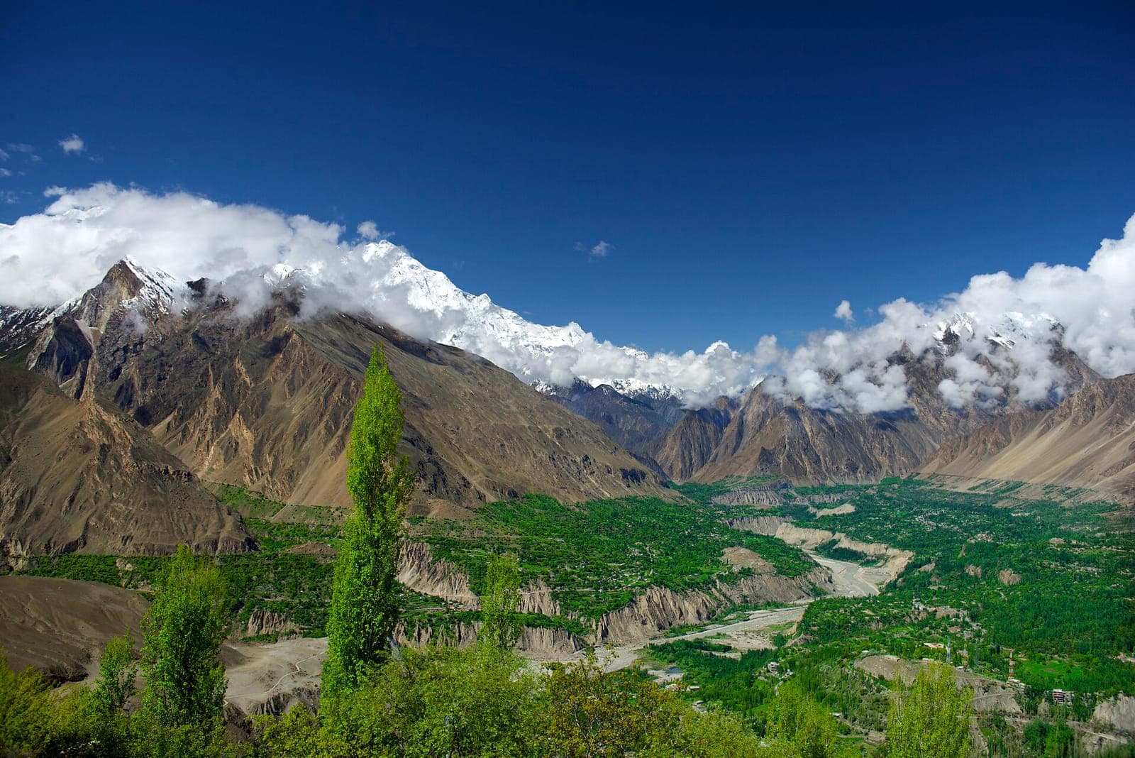
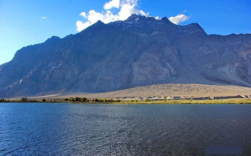
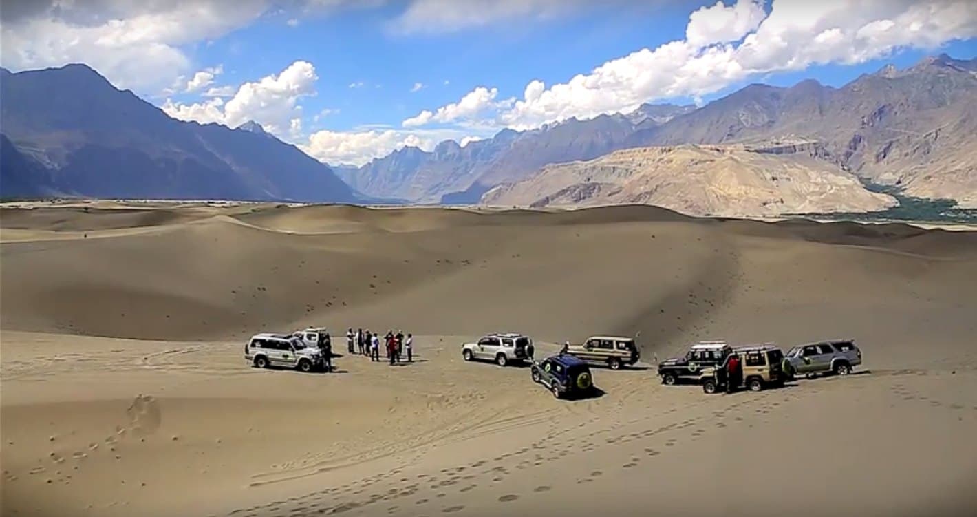
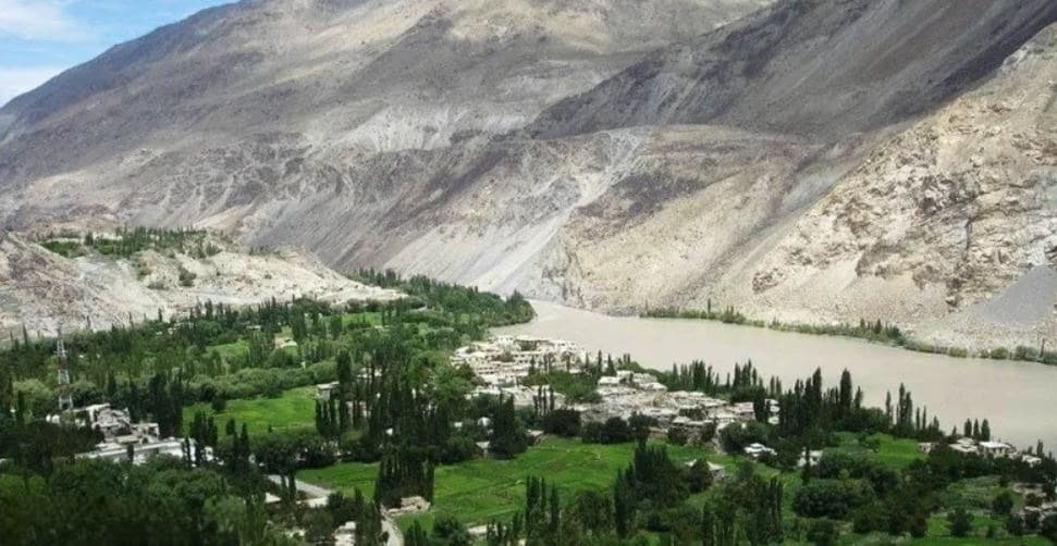
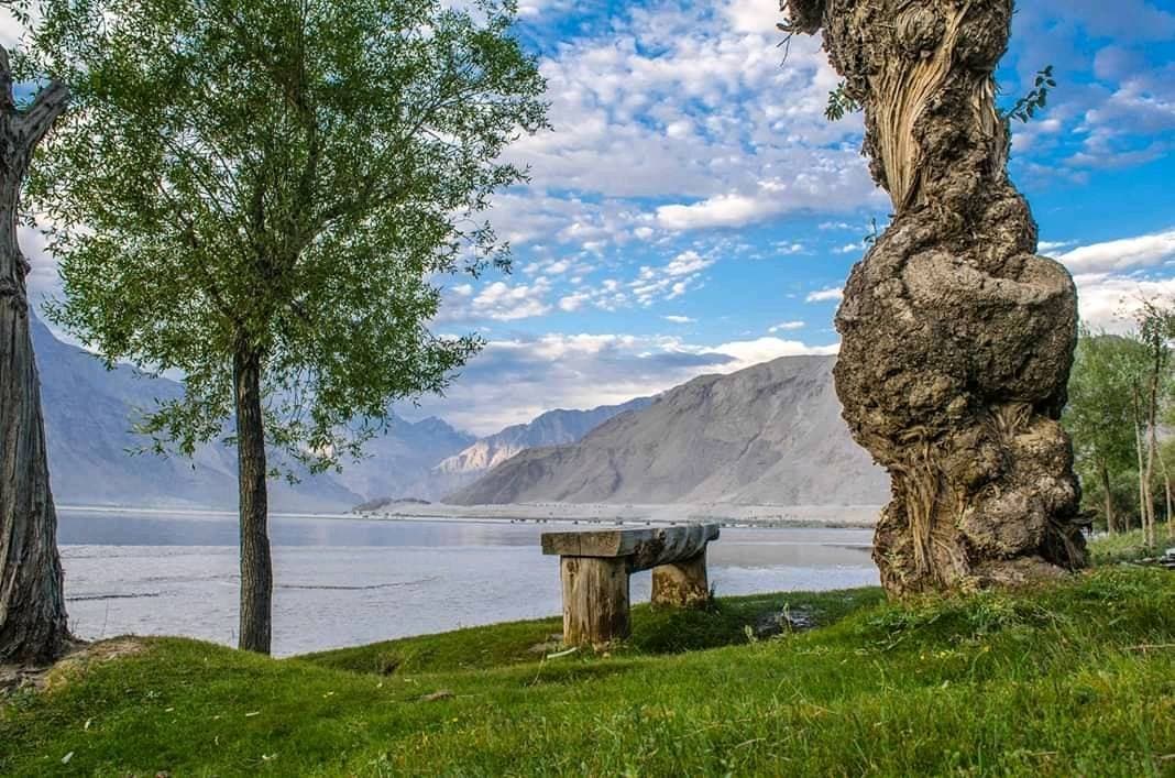
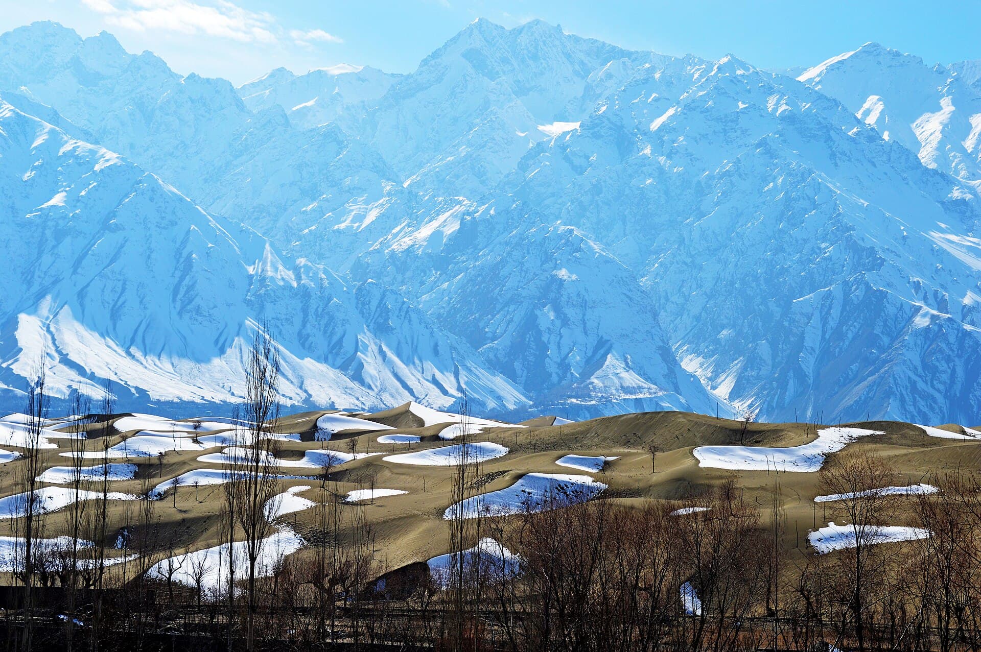
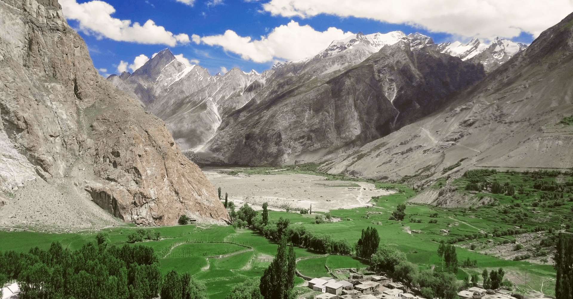
Baltoro Glacier in pictures
Photos: Tariqsulemani · CC BY-SA 4.0 · Zacharie Grossen · CC BY-SA 4.0 · NASA Earth Science and Remote Sensing Unit · Public domain · Sallahuddin shah · CC BY-SA 4.0 · Arsalan Majid · CC BY-SA 4.0 (2 photos). Each photo's own credit and licence link is shown when you open it.
Planning tip
Best Time to Visit, June to early September; July and August are the most stable months, and early snow can close the upper trail in September.
Getting there, Skardu, then a jeep to Askole and about two weeks' trekking for the round trip to Concordia and K2 Base Camp, with a licensed operator and permit.
Allow, The K2 Base Camp trek via Concordia is 16-20 days return from Skardu. Shorter itineraries reaching the glacier snout only are possible but uncommon, most trekkers who commit to the approach go the full route.
What to Do
Questions travellers ask
+How long is the K2 Base Camp trek along the Baltoro Glacier?
About two weeks for the round trip from Askole, including days to acclimatise; longer if you return over the Gondogoro La.
+How long is the Baltoro Glacier?
About 63 km, from its snout near Paiju to its head below the Gasherbrums and Chogolisa.
+When is the best time to trek the Baltoro Glacier?
July and August are the most stable months. The season runs roughly June to early September; early snow can close the upper trail in September.
+Do you need a permit for the Baltoro Glacier trek?
Yes, foreign trekkers need a permit arranged through a licensed Pakistani operator, and permits can take several weeks to arrange.
Make Baltoro Glacier Part of a Trip
GreenPak resorts and journeys within 5 km of Baltoro Glacier.

Nearby
Straight-line distance from Baltoro Glacier, within 5 km.
Nothing else genuinely close by (within 5 km of Baltoro Glacier) is published yet.