
Field guides / Gilgit Division / Nagar / Rakaposhi
Field guide · Mountains
Gilgit Division
Nagar District · Gilgit-Baltistan, Pakistan
Rakaposhi
A 7,788 m colossus in Nagar, one of Pakistan's most photogenic mountains, dominating the Karakoram Highway skyline between Gilgit and Hunza for over 40 km of road.
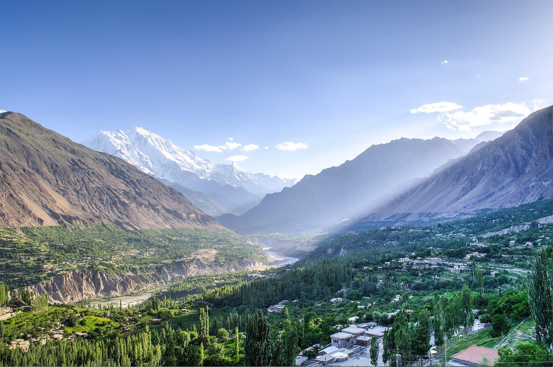
Rakaposhi, also called Dumani, the 'Mother of Mist', rises to 7,788 m over the Nagar Valley about 100 km north of Gilgit. It is the world's 27th-highest mountain and one of the most visible great peaks in Pakistan: its snow face fills the view from the Karakoram Highway through Nagar, and the closest roadside view, Rakaposhi Zero Point at Ghulmet, is a favourite stop on the way to Hunza.
Quick facts
- Height
- 7,788 m, the 27th-highest mountain in the world
- Also called
- Dumani, 'Mother of Mist'
- Where
- Nagar, Gilgit-Baltistan, about 100 km north of Gilgit
- Best view
- Rakaposhi Zero Point at Ghulmet, on the Karakoram Highway
- Base camp
- Tagaphari, about 3,300 m, via Minapin and Hapakun
- First ascent
- 1958, Mike Banks and Tom Patey, by the Southwest Ridge
Why go
- ✦7,788 m, visible from 40 km of KKH
- ✦One of world's greatest vertical mountain walls
- ✦Minapin Glacier base camp trek
- ✦First climbed 1958 British-Pakistani expedition
About
Rakaposhi, 7,788 m, stands between the Nagar and Bagrote valleys in Gilgit-Baltistan, about 100 km north of Gilgit. Known locally as Dumani, the 'Mother of Mist', it is the 27th-highest mountain on Earth and, for travellers on the Karakoram Highway, one of the most impressive: its snow and ice rise straight above the orchards of Nagar.
History
Rakaposhi was first climbed in 1958 by Mike Banks and Tom Patey of a British expedition, by the long Southwest Spur, which remains the standard route.
What Visitors Will See
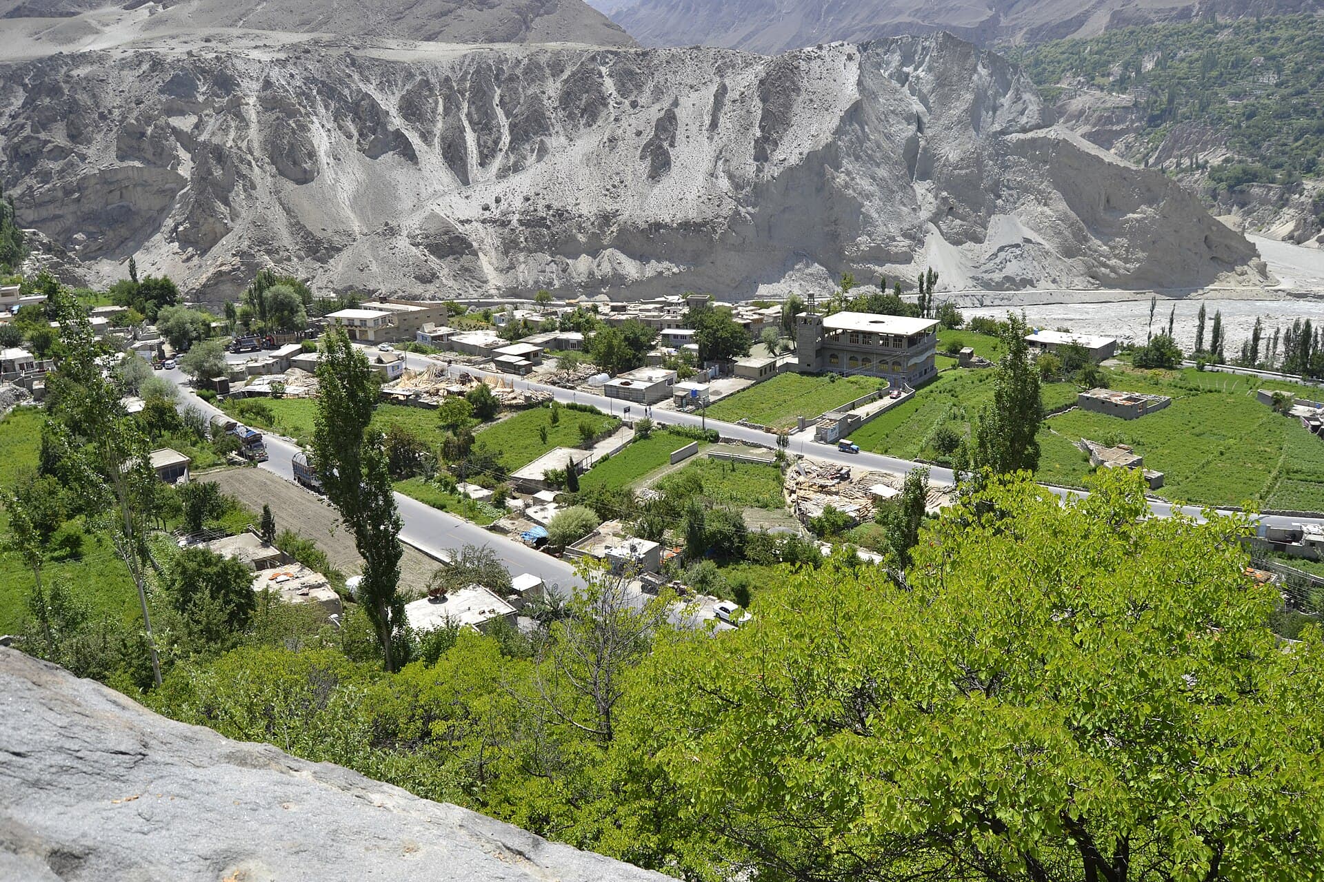
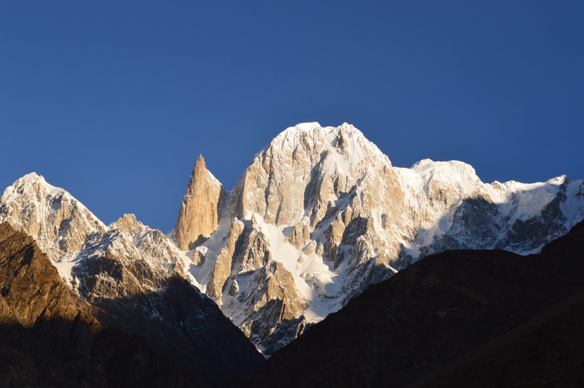
- Rakaposhi's snow face above the Nagar Valley
- Rakaposhi Zero Point viewpoint at Ghulmet
- Apricot orchards and terraced fields of Minapin
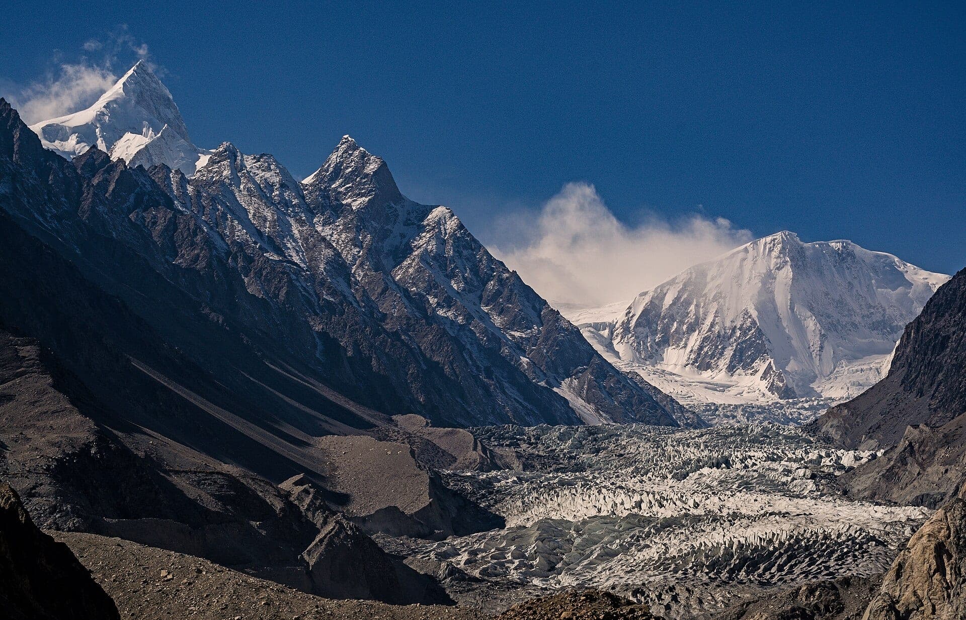
- The Minapin Glacier and Tagaphari base camp meadows
- Diran peak beside Rakaposhi from base camp
Why Visit
Few mountains of this height can be admired from a roadside tea stall. A stop at Ghulmet gives the view in minutes; a two- to three-day walk from Minapin brings you face to face with the glacier and the mountain's great wall.
Climate and Seasons
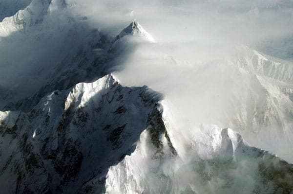
May to October for viewing; June to September is best for the base camp trek. Clouds often gather around the summit later in the day, so the clearest views usually come early.
How to Reach
Follow the Karakoram Highway north from Gilgit; Rakaposhi dominates the road through Nagar, with the closest view at Zero Point in Ghulmet. The base camp trek starts at Minapin: about three hours up to the Hapakun meadows (about 2,800 m), then two to three hours more to Tagaphari base camp (about 3,300 m) above the Minapin Glacier.
Responsible Travel
Trek with a local guide from Minapin, use the existing campsites at Hapakun and Tagaphari, and carry all rubbish down.
Interesting Facts
- The name Dumani is often translated as 'Mother of Mist' or 'Mother of Clouds'
- Rakaposhi rises between the Nagar and Bagrote valleys
- Tagaphari base camp looks across to Diran as well as Rakaposhi
Rakaposhi in pictures
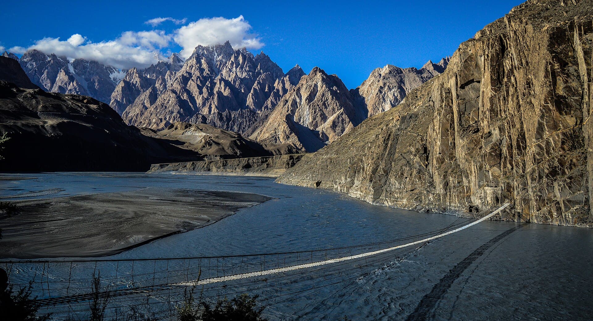
Photos: Razaashrafsbs · CC BY-SA 4.0 · Hashoo Foundation · CC BY-SA 2.0 · Zakir997 · Public domain · Waqas.usman · CC BY-SA 3.0 · Farhan1629 · CC BY-SA 4.0 · Samina.shahid1 · CC BY-SA 3.0. Each photo's own credit and licence link is shown when you open it.
Planning tip
Best Time to Visit, May to October for viewing and base camp trekking; the Rakaposhi Base Camp trek is best June to September.
Getting there, Drive the Karakoram Highway north from Gilgit toward Hunza; the peak fills the view through Nagar, and Rakaposhi Zero Point at Ghulmet is the closest roadside viewpoint. For base camp, walk from Minapin village via the Hapakun meadows to Tagaphari, about a day up.
Allow, 2-3 days for the Minapin Glacier base camp trek; a day stop is enough for photography from the KKH.
What to Do
Questions travellers ask
+How high is Rakaposhi?
7,788 m, the 27th-highest mountain in the world.
+Where is Rakaposhi?
In Nagar, Gilgit-Baltistan, between the Nagar and Bagrote valleys, about 100 km north of Gilgit.
+Where is the best view of Rakaposhi?
Rakaposhi Zero Point at Ghulmet, on the Karakoram Highway through Nagar, is the closest roadside view; the base camp at Tagaphari gives the most dramatic one.
+How do you trek to Rakaposhi base camp?
Start at Minapin village, walk about three hours to the Hapakun meadows and two to three hours more to Tagaphari base camp at about 3,300 m. Most trips take two to three days.
+What does Rakaposhi mean?
Locally the mountain is called Dumani, the 'Mother of Mist'.
+When is the best time to see Rakaposhi?
May to October, early in the day before clouds gather on the summit.
Make Rakaposhi Part of a Trip
GreenPak resorts and journeys within 5 km of Rakaposhi.
Nearby
Straight-line distance from Rakaposhi, within 5 km.
Nothing else genuinely close by (within 5 km of Rakaposhi) is published yet.