
Photo: Tipuabdul · CC BY-SA 3.0
Field guides / Gilgit Division / Gilgit & Naltar / Naltar Valley
Field guide · Nature
Gilgit Division
Gilgit District · Gilgit-Baltistan, Pakistan
Naltar Valley
Mountain valley known for forest scenery, lakes, winter sport, and seasonal travel.
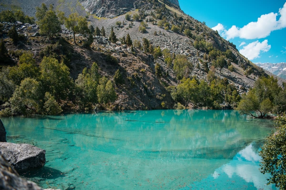
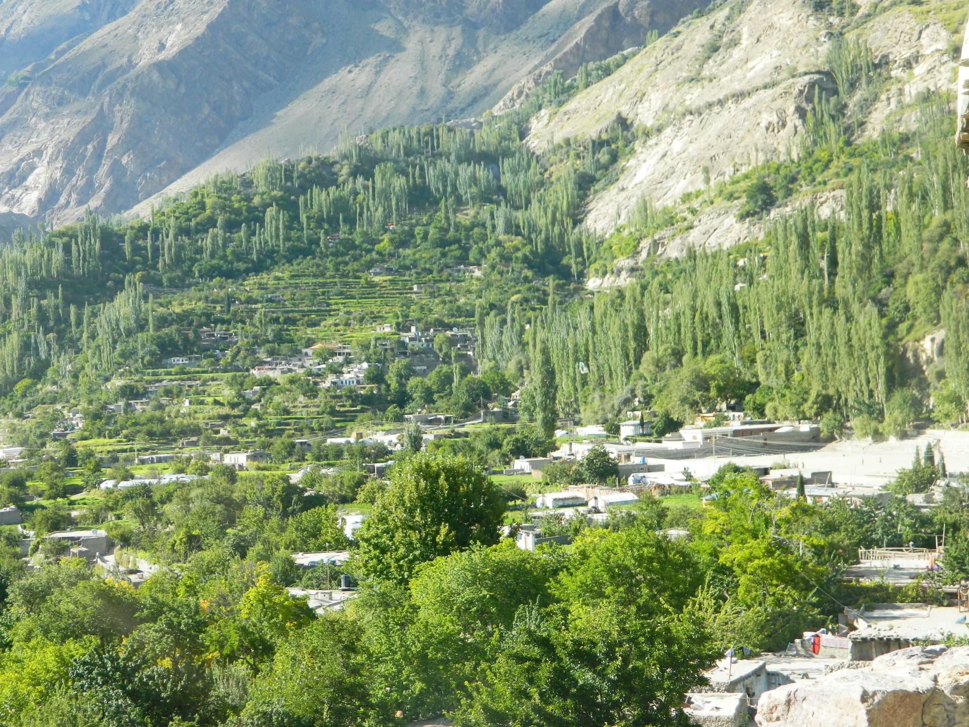
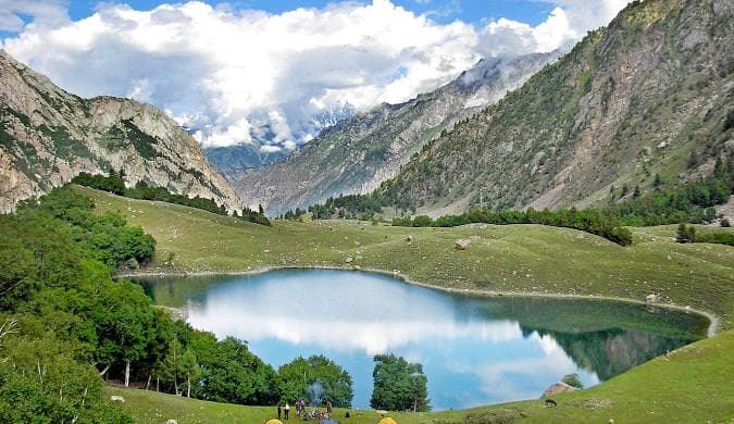
Naltar is an alpine valley of pine forest, ski slopes, and impossibly coloured lakes tucked above Gilgit, a complete contrast to the bare rock of the surrounding Karakoram. Reached by a rough jeep track that climbs through the trees, it is famous for two things: Pakistan's best-known ski slopes, at around 3,000 m, and the Naltar Lakes, a string of jewel-toned tarns whose waters shift from turquoise to deep blue to green. In summer it is a green trekking and trout-fishing valley; in winter, a snow-sport destination.
Quick facts
- Where
- Gilgit District, Gilgit-Baltistan
- From Gilgit
- About 34 km to Naltar Bala, via Nomal
- Lakes
- Satrangi, Blue, Bodlok and others, about 13 km beyond Naltar Bala
- Access
- Jeep road; the lake track is near impassable in deep snow
- Summer
- June to September for lakes and trekking
- Winter
- December to March for skiing
Why go
- ✦The coloured Naltar Lakes
- ✦Pakistan's best-known ski slopes
- ✦Pine forest and alpine meadows
- ✦Trout fishing in the streams
- ✦Rough, scenic jeep approach
The Coloured Lakes
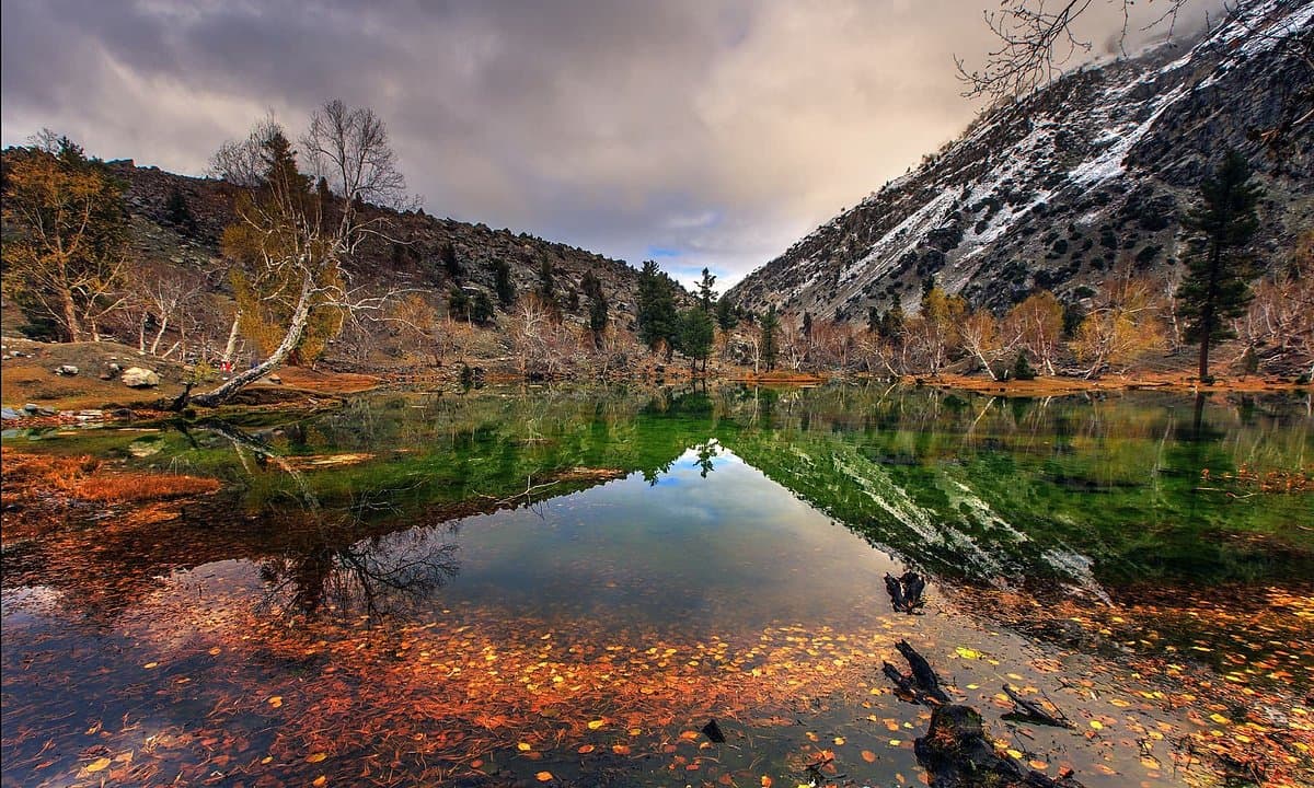
The upper valley holds a chain of small glacial lakes, among them Satrangi, Blue and Bodlok, about 13 km beyond Naltar Bala, whose mineral-rich water glows in extraordinary shades. Reaching them means another jeep stretch plus a short walk, and the colours are most intense under bright midday sun.
Skiing in the Karakoram
Naltar is the home of skiing in Pakistan, with slopes and a chairlift used for national competitions and training. The season runs through the winter months; equipment and instruction are limited and best arranged in advance through an operator. The setting, powder snow under Karakoram peaks, is spectacular.
Forest, Meadows, and Trout
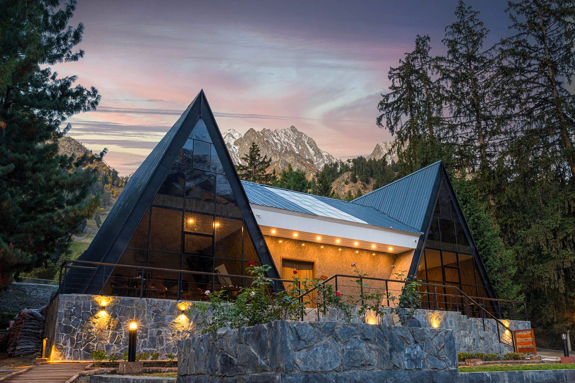
In summer the valley is a green retreat of pine woods, grazing meadows, and clear streams stocked with trout, a world away from the arid valleys below. It rewards slow exploration on foot, with simple guesthouses in the main village and the chance to walk between the scattered hamlets.
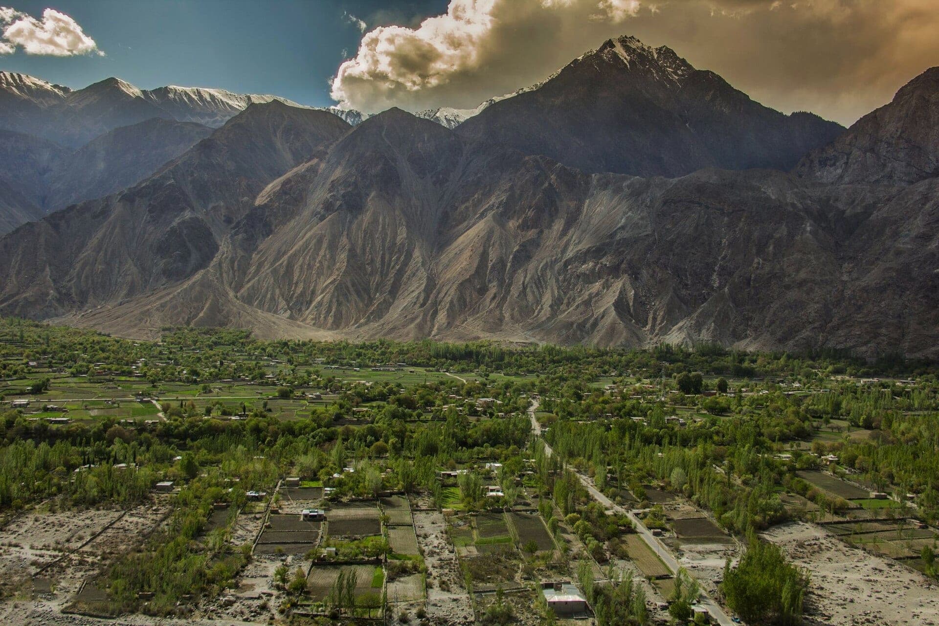
Naltar Valley in pictures
Photos: Mudassir005 · CC BY-SA 3.0 · Wasilm88 · CC BY-SA 4.0 · Faisal Rafiq · CC BY-SA 4.0 · Ammarsheikh03 · CC BY-SA 4.0 · Sidtm · CC BY-SA 3.0 (2 photos). Each photo's own credit and licence link is shown when you open it.
Planning tip
Best Time to Visit, June to September for the lakes, meadows, and trekking; December to March for skiing and snow. The jeep track is the limiting factor in shoulder seasons.
Getting there, About a 2-3 hour jeep ride up a rough track from Nomal, near Gilgit. The road is genuinely rough and best left to local 4x4 drivers; the journey through the pine forest is part of the appeal.
Allow, A full day from Gilgit, or one to two nights to reach the upper lakes and ski slopes properly.
What to Do
Questions travellers ask
+How far is Naltar from Gilgit?
About 34 km to Naltar Bala (upper Naltar) and 40 km to Naltar Paain (lower Naltar), by the road via Nomal. The last stretch is best done in a local 4×4.
+How do you get to the Naltar lakes?
The lakes, among them Satrangi, Blue and Bodlok, lie about 13 km beyond Naltar Bala, by jeep track and a short walk. In winter deep snow makes the track nearly impassable by vehicle.
+Can you ski at Naltar?
Yes. Naltar has Pakistan's best-known ski slopes and a chairlift, used for national competitions. The season runs through winter; arrange equipment and instruction in advance.
+When is the best time to visit Naltar?
June to September for the lakes, meadows and trekking; December to March for snow and skiing.
Make Naltar Valley Part of a Trip
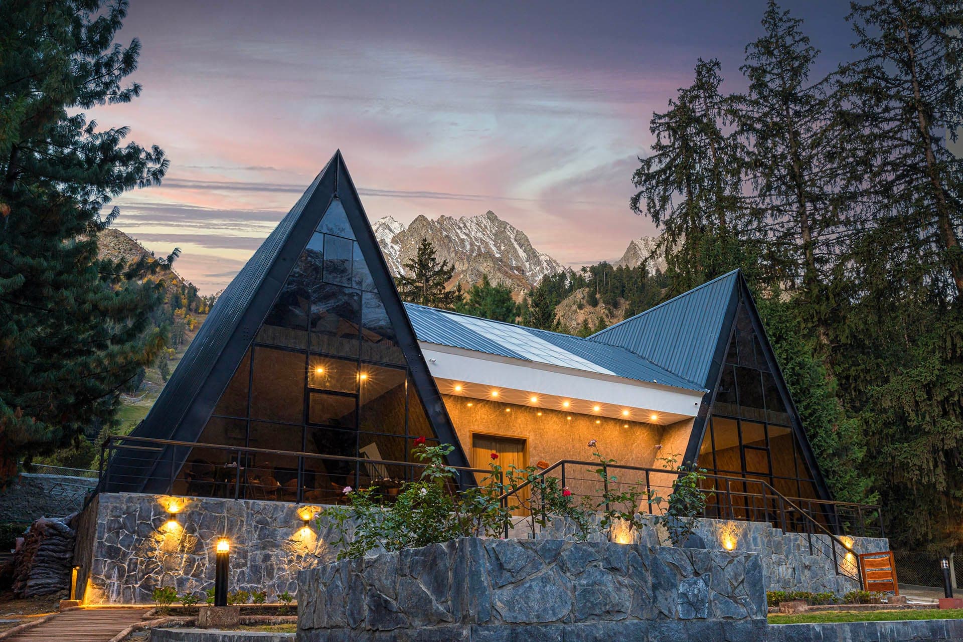
GreenPak resorts and journeys within 5 km of Naltar Valley.
Nearby
Straight-line distance from Naltar Valley, within 5 km.
Nothing else genuinely close by (within 5 km of Naltar Valley) is published yet.