
Field guides / Baltistan Division / Khaplu & Ghanche / Masherbrum (K1)
Field guide · Mountains
Baltistan Division
Ghanche District · Gilgit-Baltistan, Pakistan
Masherbrum (K1)
The original K1 at 7,821 m, a massive pyramid guarding the Hushe Valley with one of the most dramatic approach marches of any Karakoram peak.
Masherbrum, originally the K1 of the Karakoram survey before K2 was measured, rises to 7,821 m above the Hushe Valley in Gilgit-Baltistan. Its triple summit pyramid was first climbed in 1960 by George Bell and Willi Unsoeld via the American Alpine Club expedition. The approach from Hushe village involves the Masherbrum Glacier and is a serious mountaineering undertaking.
Quick facts
- Height
- 7,821 m; 22nd-highest in the world, 9th in Pakistan
- Why K1
- The first Karakoram peak labelled in the 1856 survey, as 'K1'
- Where
- Ghanche District, Gilgit-Baltistan, highest of the Masherbrum Mountains
- Trailhead
- Hushe village, reached by road from Skardu via Khaplu
- First ascent
- 1960, George Bell and Willi Unsoeld, American-Pakistani expedition
- Season
- June to August for climbing; Hushe treks roughly May to October
Why go
- ✦7,821 m, the original K1
- ✦First climbed 1960 American expedition
- ✦Hushe Valley approach
- ✦Combined itinerary with Charakusa and Laila Peak
About
Masherbrum, at 7,821 m, is the highest peak of the Masherbrum Mountains in Ghanche District of Gilgit-Baltistan, a great pyramid of rock and ice rising south of the Baltoro Glacier and above the Hushe Valley. It is the 22nd-highest mountain in the world and holds a special place in the history of the Karakoram as the original 'K1'.
History
In 1856 Lieutenant Thomas Montgomerie of the Great Trigonometrical Survey sighted the Karakoram peaks from Kashmir and numbered them; Masherbrum, the first he labelled, became K1, and the second became the famous K2. Masherbrum was first climbed in 1960 by George Bell and Willi Unsoeld of an American-Pakistani expedition, and two days later by Nick Clinch and the Pakistani mountaineer Jawed Akhter.
What Visitors Will See
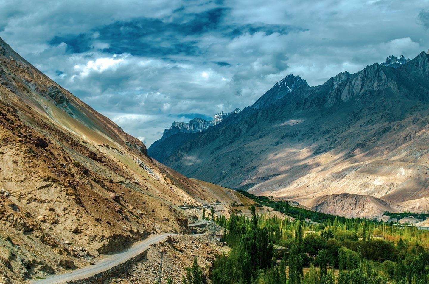
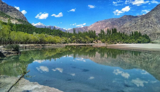
- Masherbrum's pyramid rising at the head of the Hushe Valley
- Hushe village, the trailhead, with its stone houses and fields
- The Masherbrum Glacier on the approach to base camp
- Neighbouring peaks of the Charakusa Valley and Laila Peak
Why Visit
The Hushe Valley gives trekkers a close view of a 7,800 m giant without the long Baltoro approach, and Hushe village is the base for several of the finest walks in Baltistan, including the Charakusa Valley and Laila Peak base camp.
Climate and Seasons
June to August is the expedition season; trekking in the Hushe Valley is possible from about May to October, with cold nights at altitude.
How to Reach
From Skardu drive east to Khaplu, then south up the Hushe Valley to Hushe village, the last village and trailhead. Base camp walks start here with local porters and guides; an expedition to the summit needs mountaineering permits and an organised team.
Responsible Travel
Trek with a licensed local guide and porters from Hushe, carry out all rubbish from camps, and respect village customs.
Interesting Facts
- Its sighting in 1856 began the K-numbering that gave K2 its name
- It was the first peak in the Karakoram to be mapped by the Great Trigonometrical Survey
- The southern route from the Hushe Valley is the usual way up
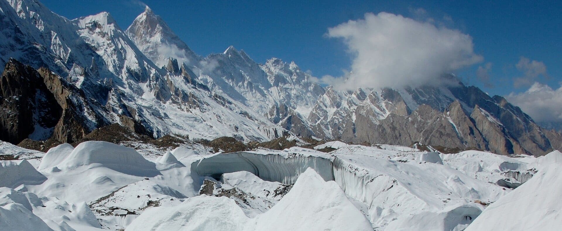
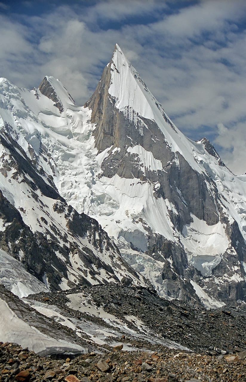
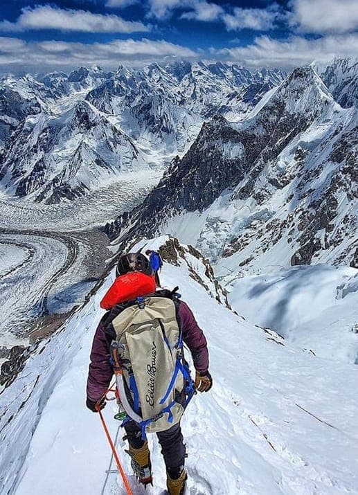
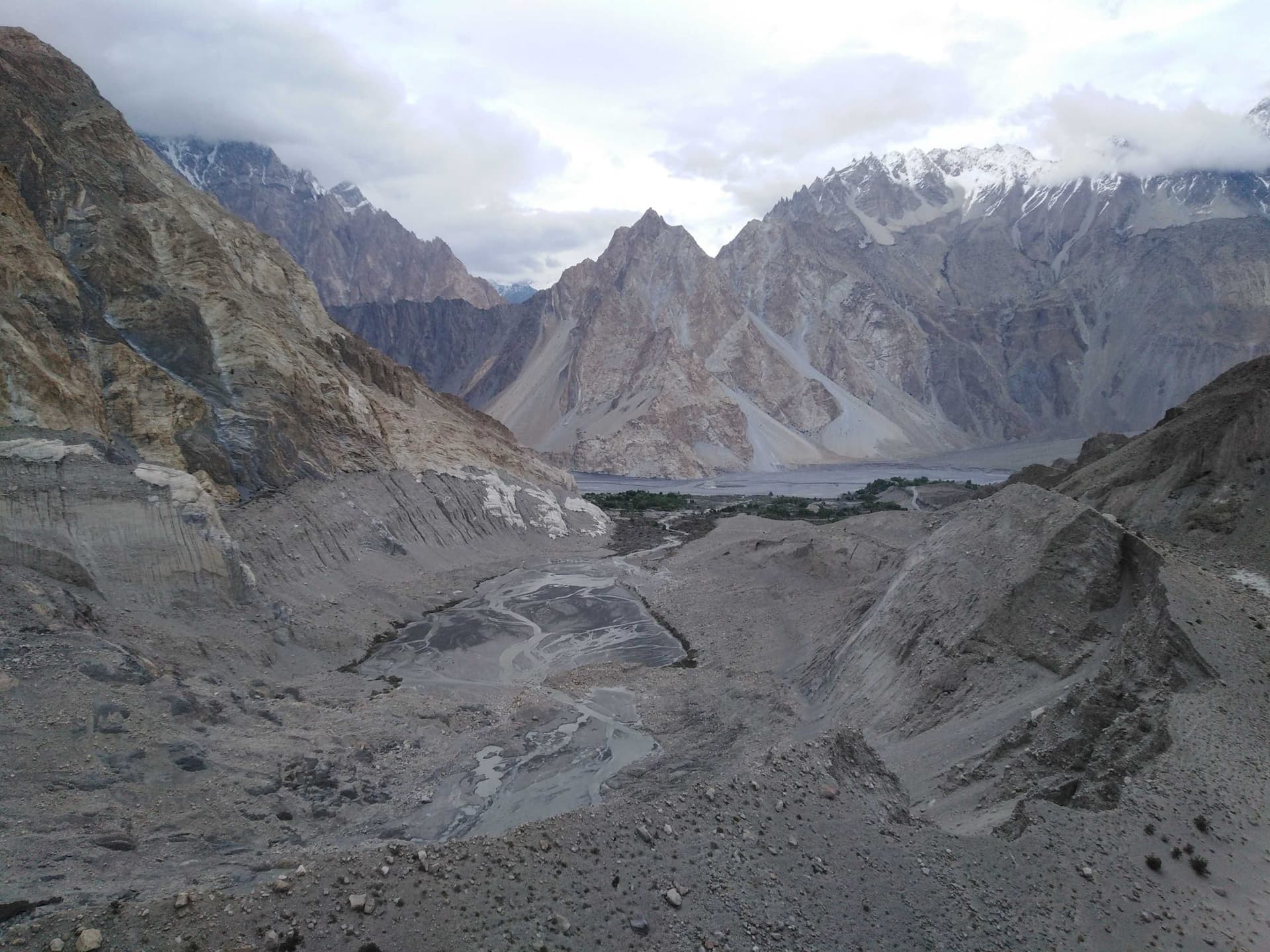
Masherbrum (K1) in pictures
Photos: Stefanos Nikologianis · CC BY 2.0 · Moskenes · CC BY 4.0 · Tariqsulemani · CC BY-SA 4.0. Each photo's own credit and licence link is shown when you open it.
Planning tip
Best Time to Visit, June to August for the main expedition season; Hushe Valley trekking is possible May to October.
Getting there, Drive from Skardu to Khaplu, then south to Hushe village, the trailhead for the Masherbrum Glacier. Hushe is also the starting point for Charakusa Valley and Laila Peak.
Allow, 3-4 days to base camp; full expedition 8-10 weeks.
What to Do
Questions travellers ask
+How high is Masherbrum?
7,821 m, the 22nd-highest mountain in the world and the 9th-highest in Pakistan.
+Why is Masherbrum called K1?
In 1856 Thomas Montgomerie of the Great Trigonometrical Survey numbered the Karakoram peaks he could see; Masherbrum was the first, K1. K2 was the second.
+Where is Masherbrum?
In Ghanche District, Gilgit-Baltistan, Pakistan, above the Hushe Valley and south of the Baltoro Glacier.
+How do you get to Masherbrum base camp?
Drive from Skardu via Khaplu to Hushe village, then trek up the Hushe Valley and the Masherbrum Glacier with local guides and porters.
+Who first climbed Masherbrum?
George Bell and Willi Unsoeld, of an American-Pakistani expedition, in 1960; Nick Clinch and Jawed Akhter reached the top two days later.
Nearby
Straight-line distance from Masherbrum (K1), within 5 km.