Loading…
Field guides / Khyber Pakhtunkhwa / Takhtaband Site
Field guide · Heritage
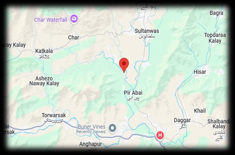
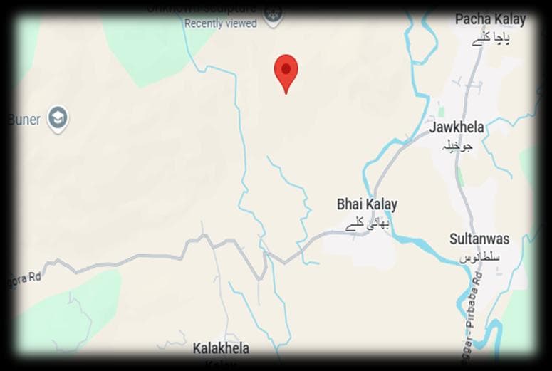
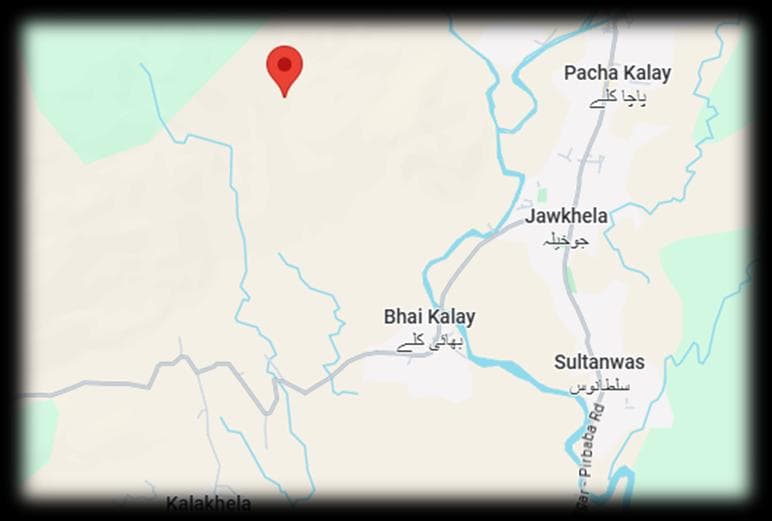
Takhtaband village (Takhta-band) lies southeast of Sunigram and northeast of Rega, near the left bank of Barandu river.
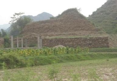
The stupa known as ‘Takhtaband’ is actually situated in the area called Gumbat, named after the stupa itself (‘gumbat’ meaning stupa in Pashto). Therefore, it is more accurate to refer to the site as the ‘Gumbat Stupa of Takhta-band’ or ‘Manrai Gumbat’ as mentioned by Saeed-ur-Rehman. Stein found the stupa heavily damaged but still retaining more of its original appearance than other stupas in Buner. It featured a bulbous dome 26 feet high over a 25-foot base, forming an 84-foot square platform. Masonry had been cut away around the base, creating overhanging upper portions. A central shaft led into the base where a small stone-lined chamber was exposed, likely meant for a relic casket. Stein also suspected a circumambulatory path around the stupa, accessed from the east, but nightfall limited his exploration. Later researchers observed nearby ruined structures on hills to the northeast.
Why go
The Gumbat Stupa at Takhta-band, once the best-preserved Buddhist monument in Buner per Stein’s 1930 documentation, now stands nearly obliterated—its northern wall fragment the sole survivor amid housing encroachment and relic hunting. The KP Directorate of Archaeology & Museums allowed this systematic destruction despite Stein’s precise measurements and warnings, failing even to demarcate the site or recover relics from looted chambers.
Planning tip
Best Time to Visit, Year-round; confirm local conditions and any festival dates before travel.
Getting there, In or near Buner, Khyber Pakhtunkhwa; confirm current local access before visiting.
Straight-line distance from Takhtaband Site, within 30 km.