Field guides / Khyber Pakhtunkhwa / Dunga Gali
Field guide · Nature
Dunga Gali
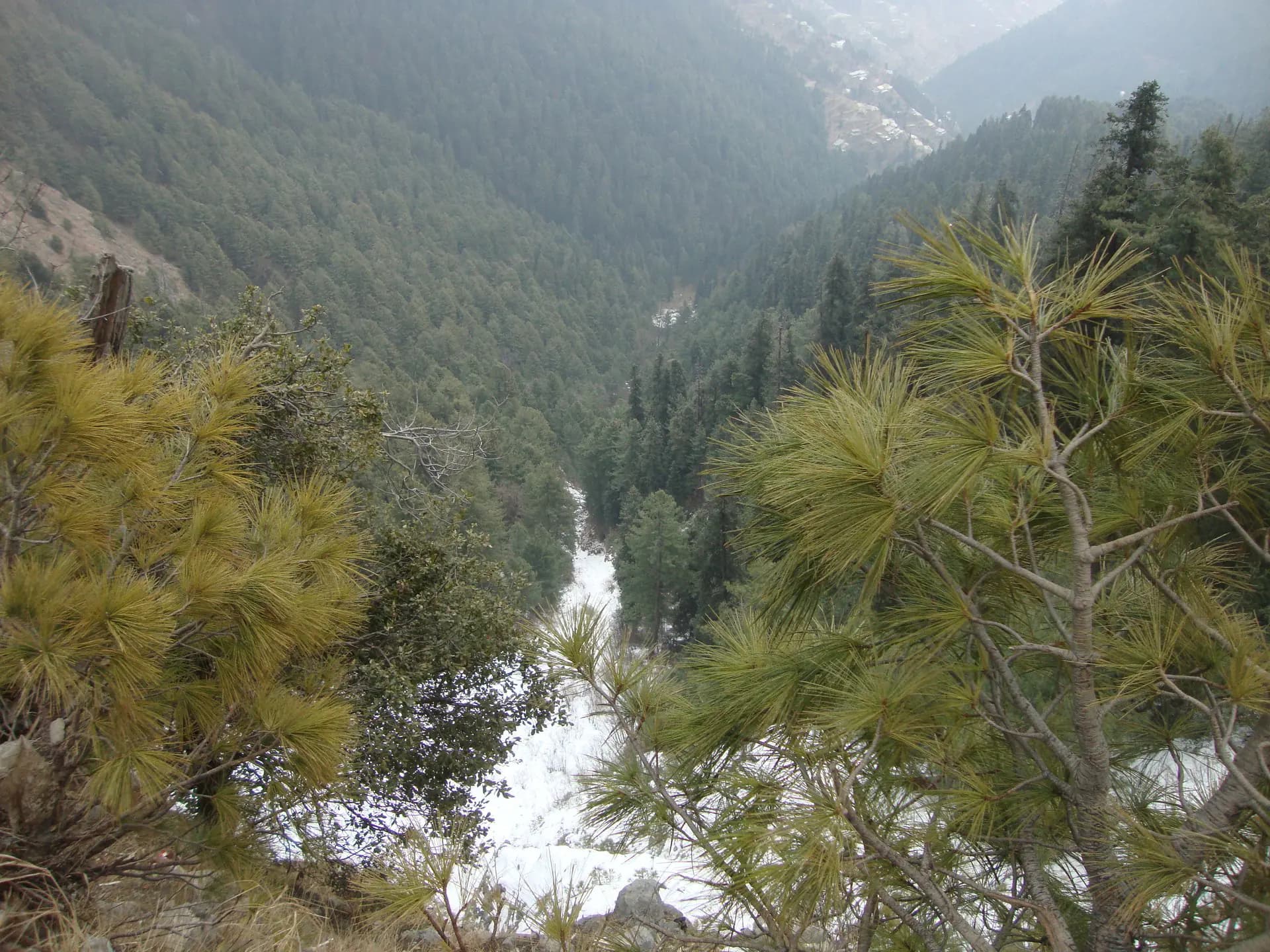
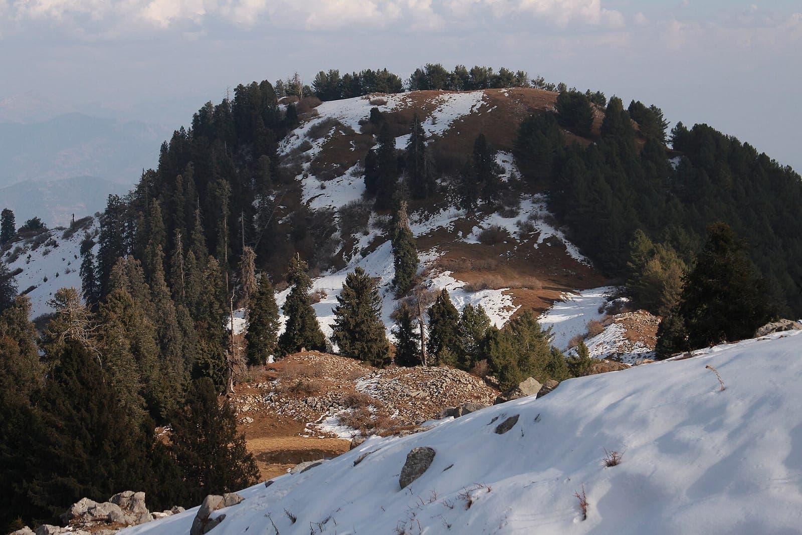
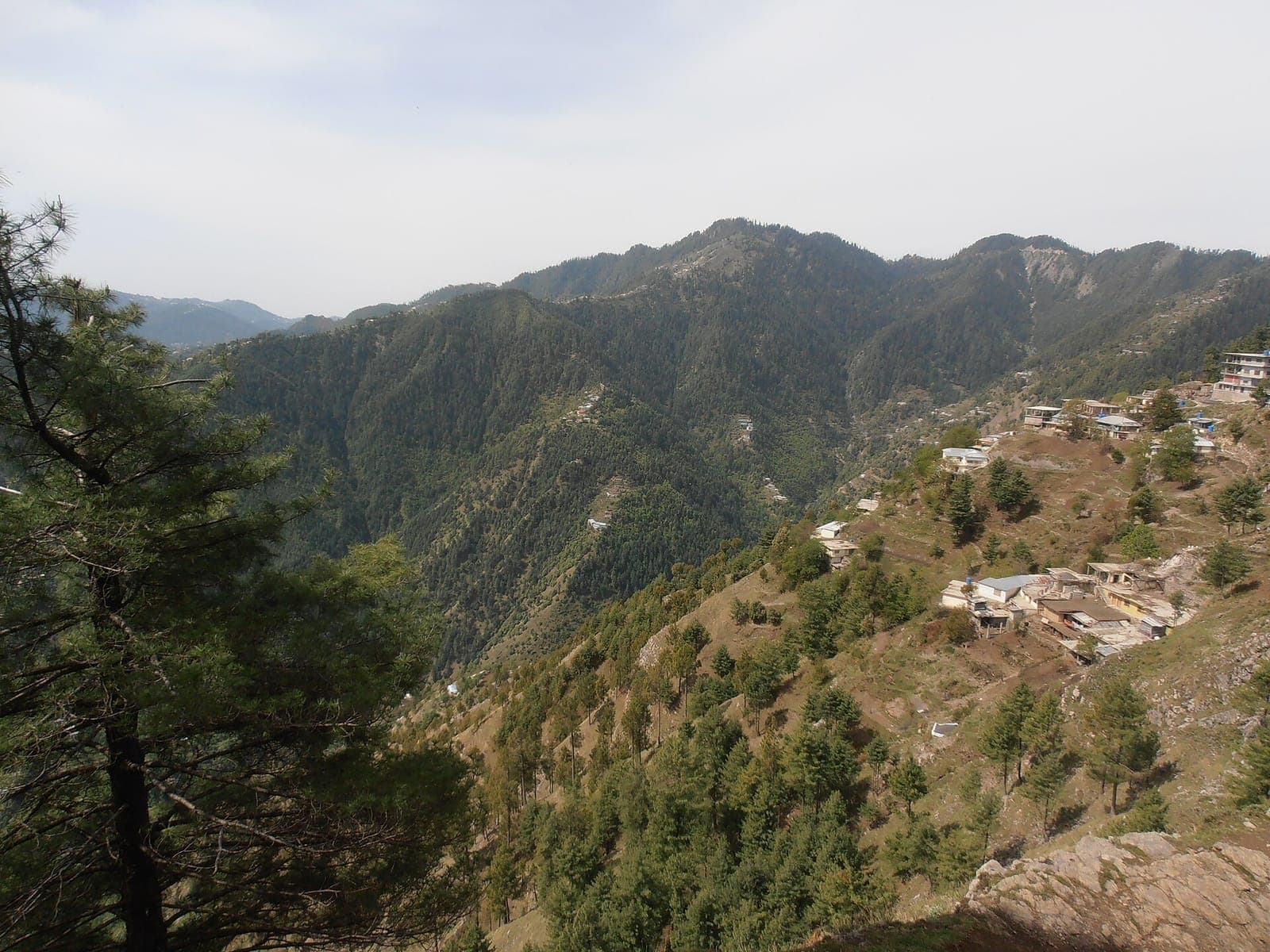
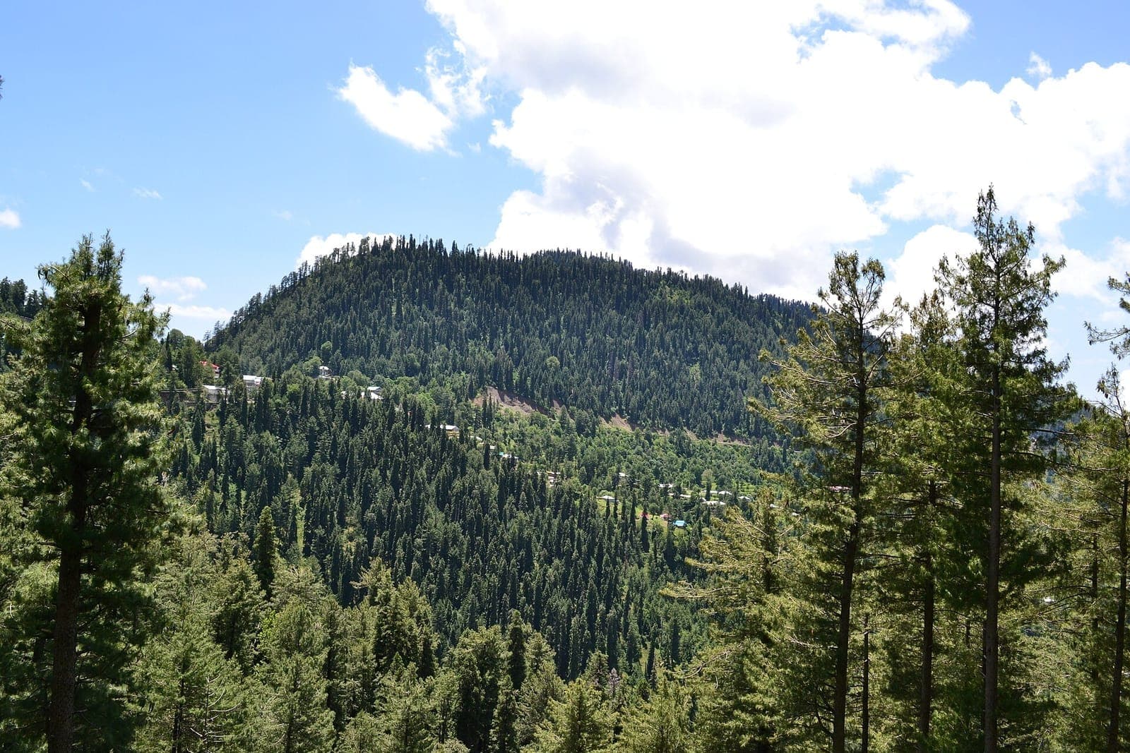
Dunga Gali in the Galyat, 2,500 m up in Ayubia National Park: pine forest, the Pipeline Track and the climb to Mushkpuri Top.
Dunga Gali is one of the hill towns of the Galyat, at about 2,500 metres inside Ayubia National Park, 3 km from Nathia Gali and 34 km from Abbottabad. Himalayan poplar, horse chestnut, bird cherry and walnut grow in the forest around it, and thousands of walkers come every year for its trails.
Why go
- ✦A Galyat hill town at 2,500 m
- ✦Start of the climb to Mushkpuri Top
- ✦Forest trails in Ayubia National Park
History
The Haro River rises on the southern slopes of the Dunga Gali range.
How to Reach
On the Murree–Abbottabad road through the Galyat, 3 km from Nathia Gali.
Planning tip
Best Time to Visit, April to October for walking; December to February brings snow.
Getting there, On the Murree–Abbottabad road through the Galyat, 3 km from Nathia Gali.
Allow, Half a day to a day.
What to Do
Make Dunga Gali Part of a Trip
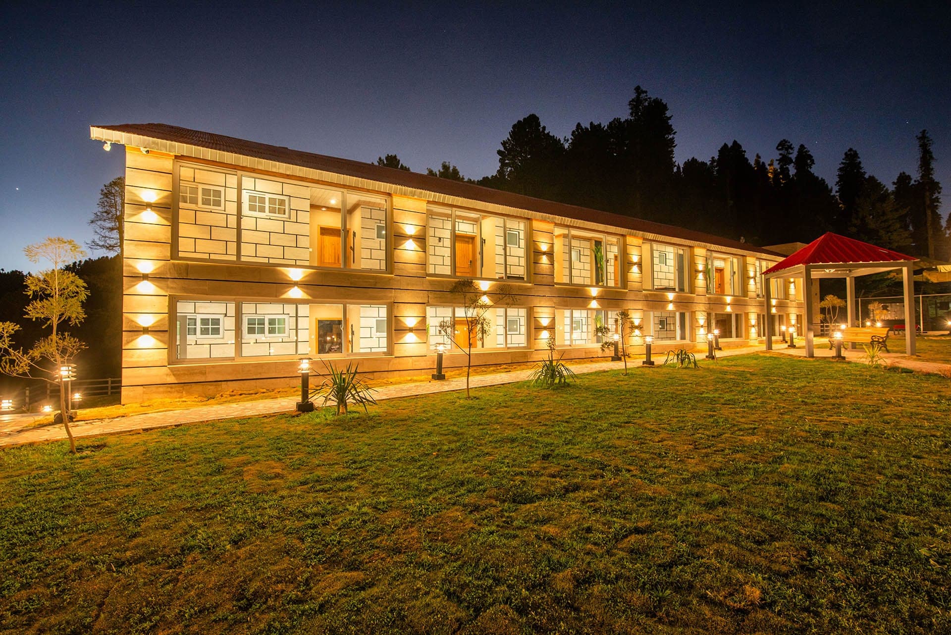
GreenPak resorts and journeys within 5 km of Dunga Gali.
Nearby
Straight-line distance from Dunga Gali, within 5 km.