 Photo: Zyasir491 · CC BY-SA 4.0
Field guides / Khyber Pakhtunkhwa / Galiyat & Murree / Nathia Gali
Field guide · Nature
Abbottabad
Abbottabad District · Khyber Pakhtunkhwa, Pakistan
Nathia Gali
A forested Galiyat hill station between Abbottabad and Murree, used as a base for ridge walks, cool-weather stays, and nearby protected landscapes.
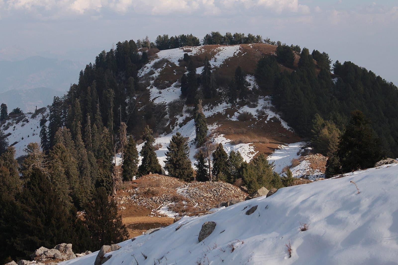
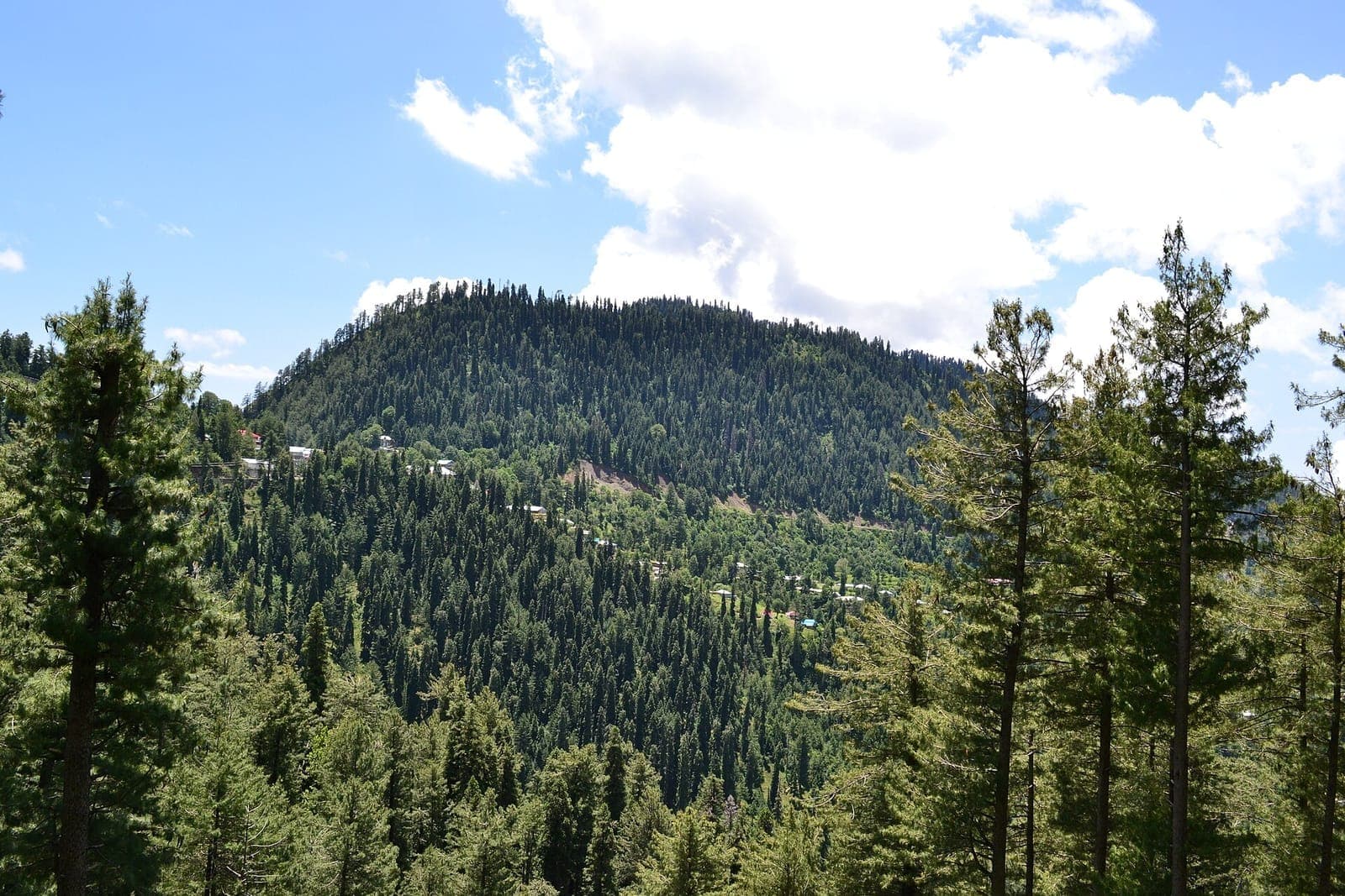
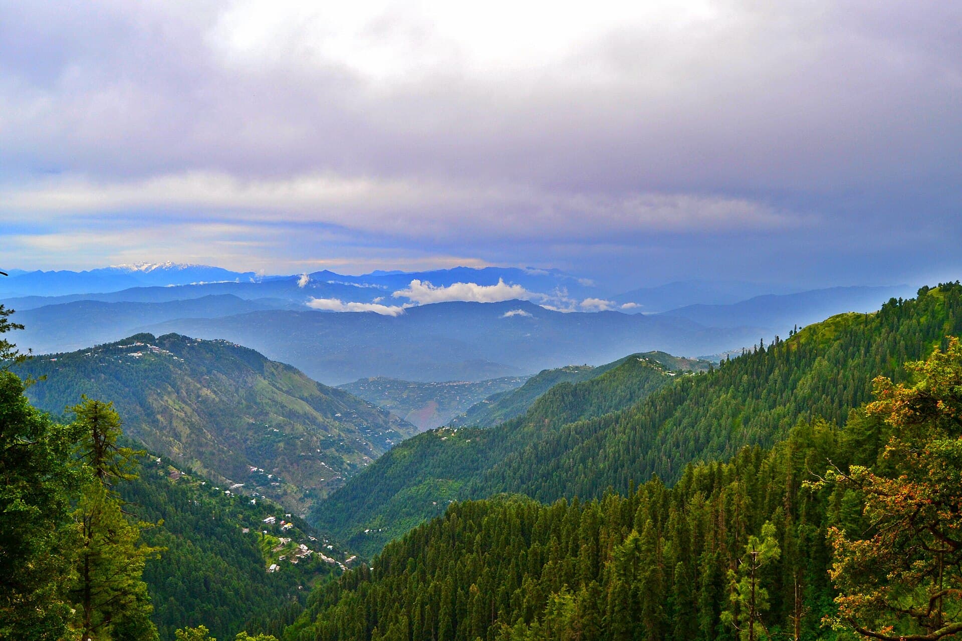
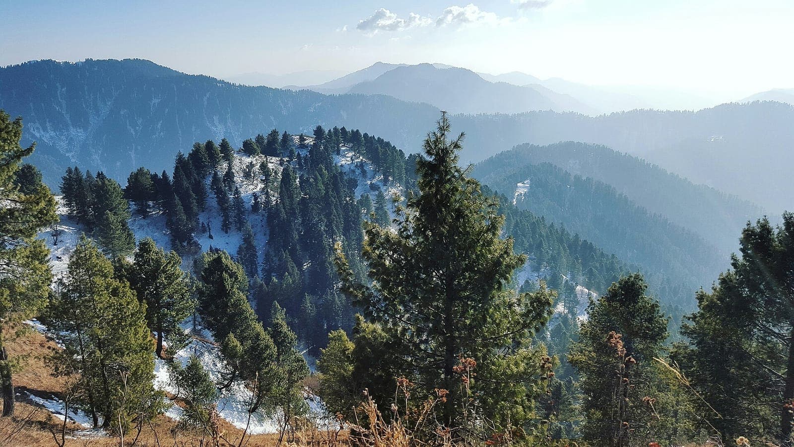
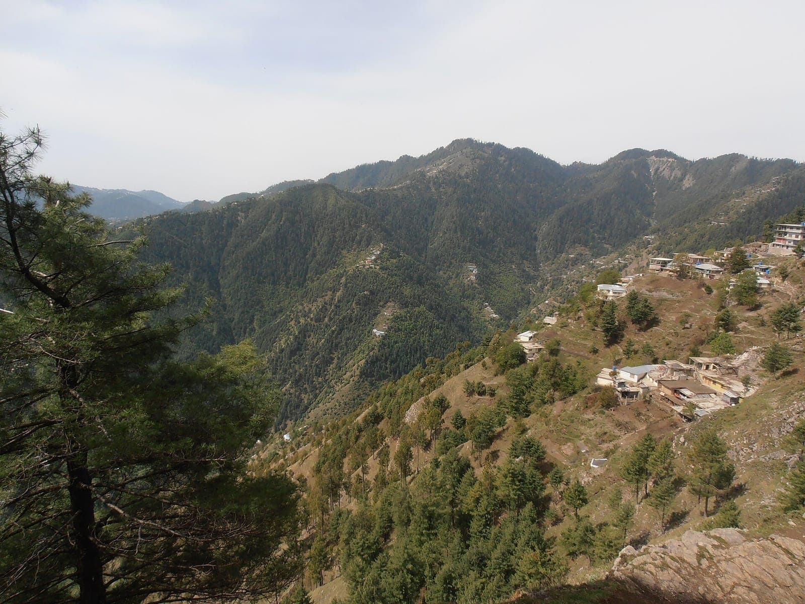
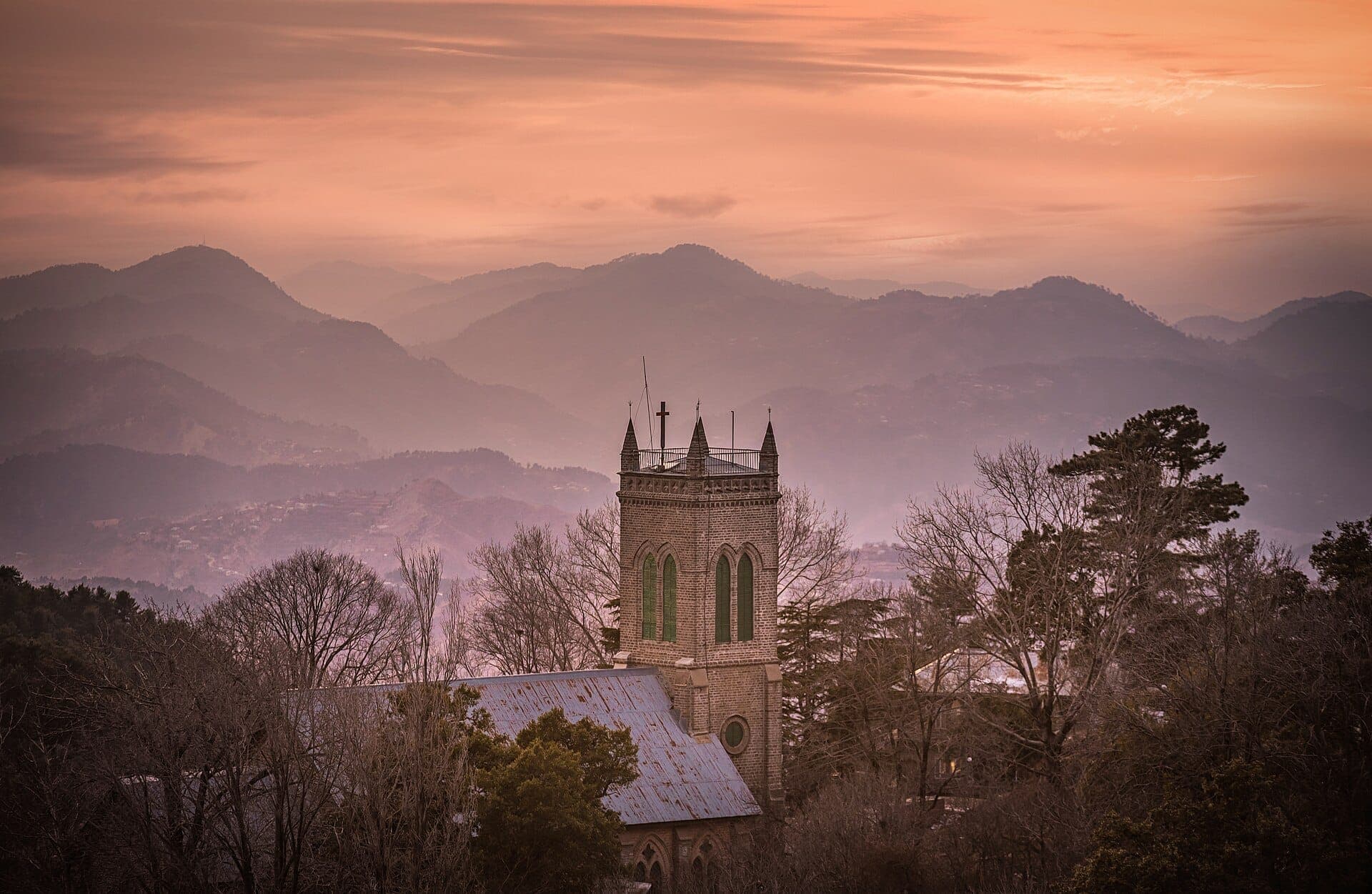
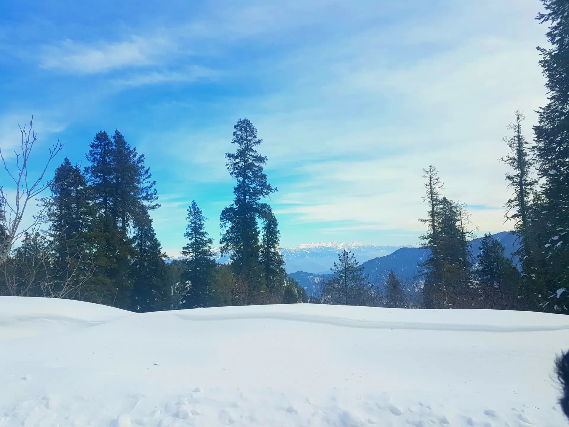
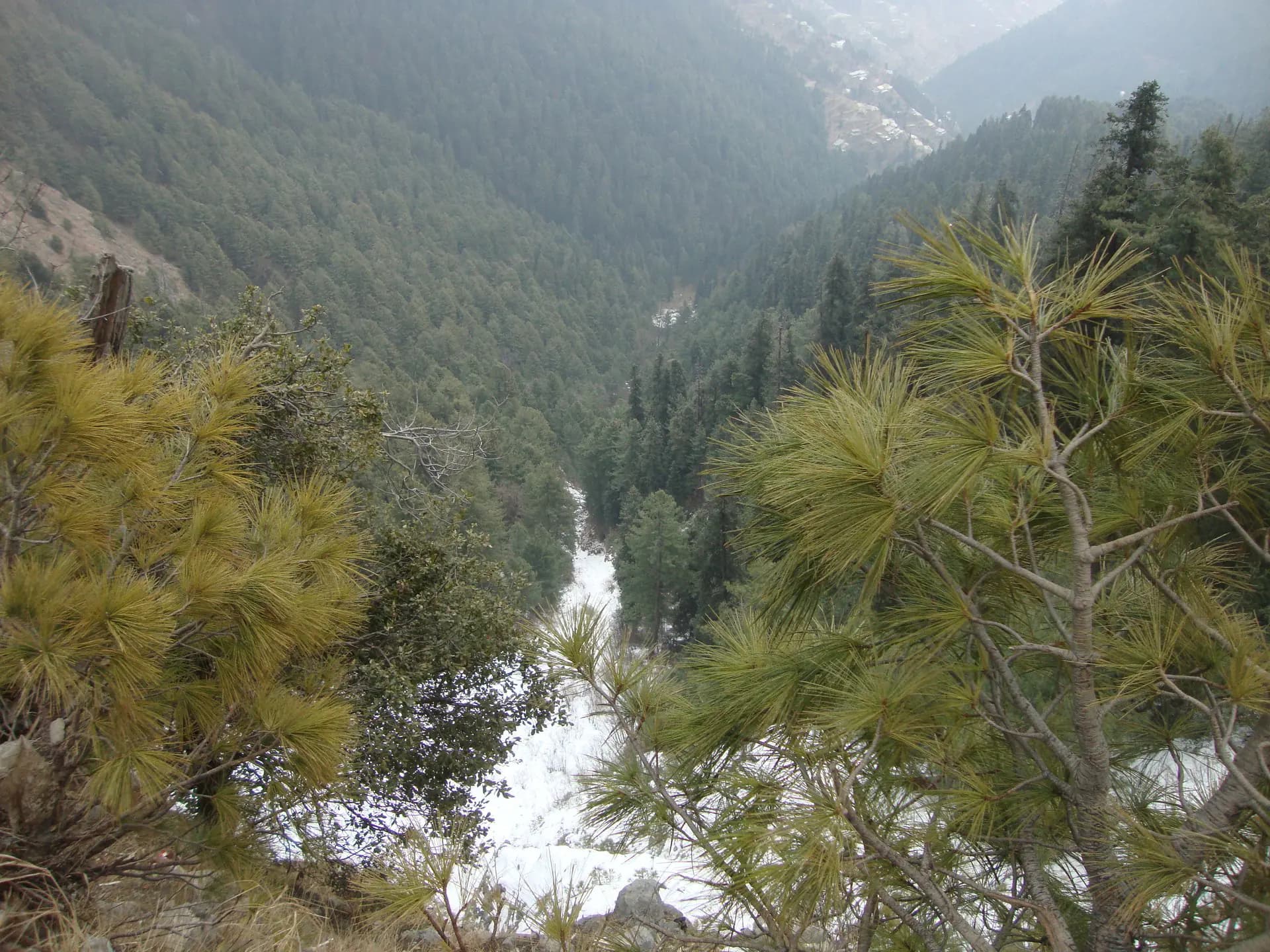
Nathia Gali is a compact mountain town in Abbottabad District, surrounded by pine, oak, and temperate forest in the central Galiyat. It works as a stay and walking base with its own streets, church, viewpoints, and trail access. Nathia Gali is not another name for the whole Galiyat tract, and it remains separate from Dunga Gali, Ayubia, Changla Gali, and Murree.
Why go
- ✦Pine and oak forest
- ✦Independent Galiyat hill-station identity
- ✦Access to ridge and forest walks
- ✦Cool-weather overnight base
One Town Within the Galiyat
Nathia Gali is part of a chain of hill stations, not an umbrella name for all of them. Dunga Gali, Ayubia, Changla Gali, and Murree have different centres, approach points, trails and visitor facilities, so plan each as its own stop.
Treat Forest Walks as Mountain Routes
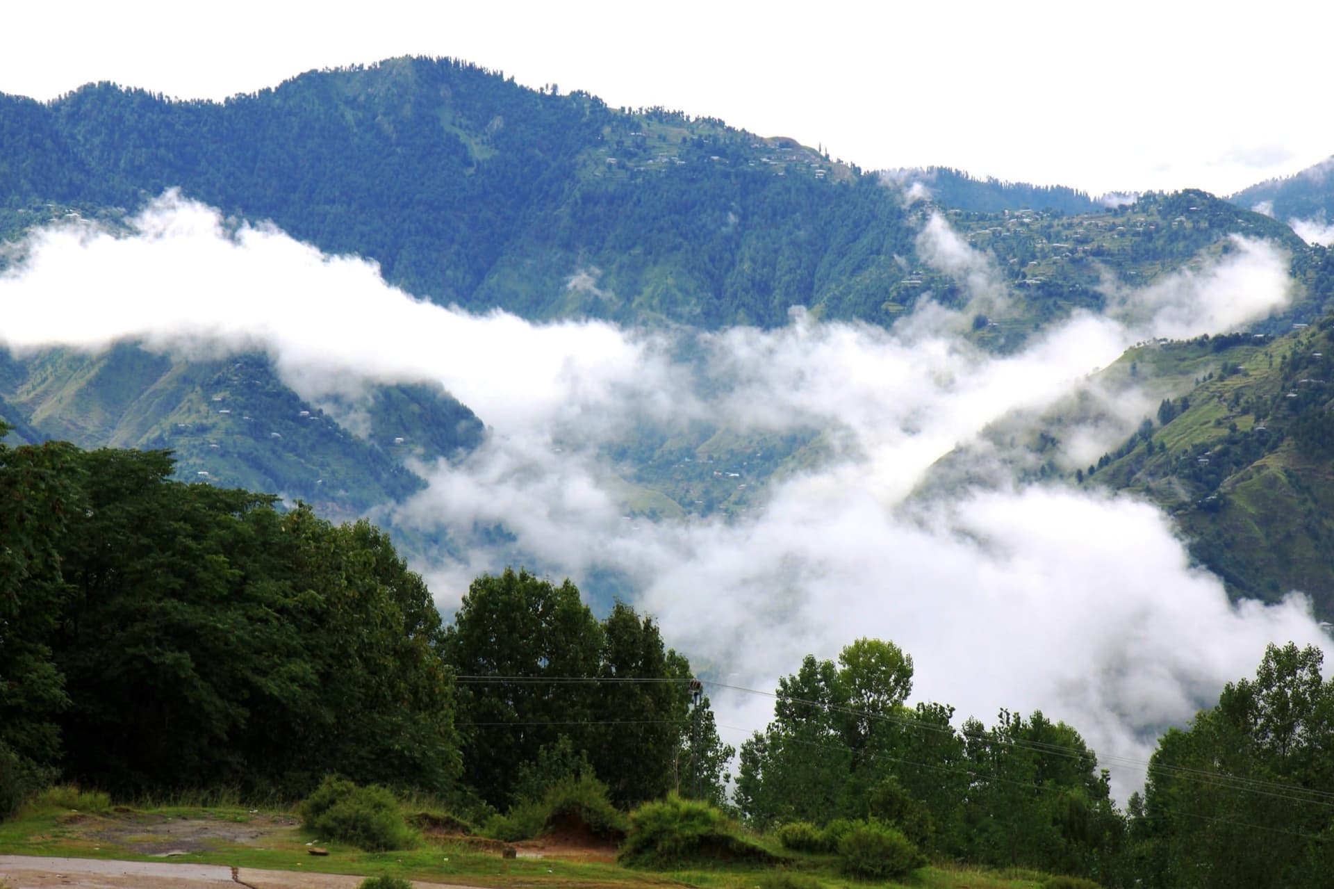
Even popular trails can become slippery or obscured by cloud. Start with daylight in hand, carry water and a warm layer, and use local guidance for longer walks or changing winter conditions.
Travel Outside Peak Congestion
Summer weekends and snowfall can create long queues on the narrow Galiyat road. Book accommodation before arrival and avoid promising fixed transfer times during peak periods.
Planning tip
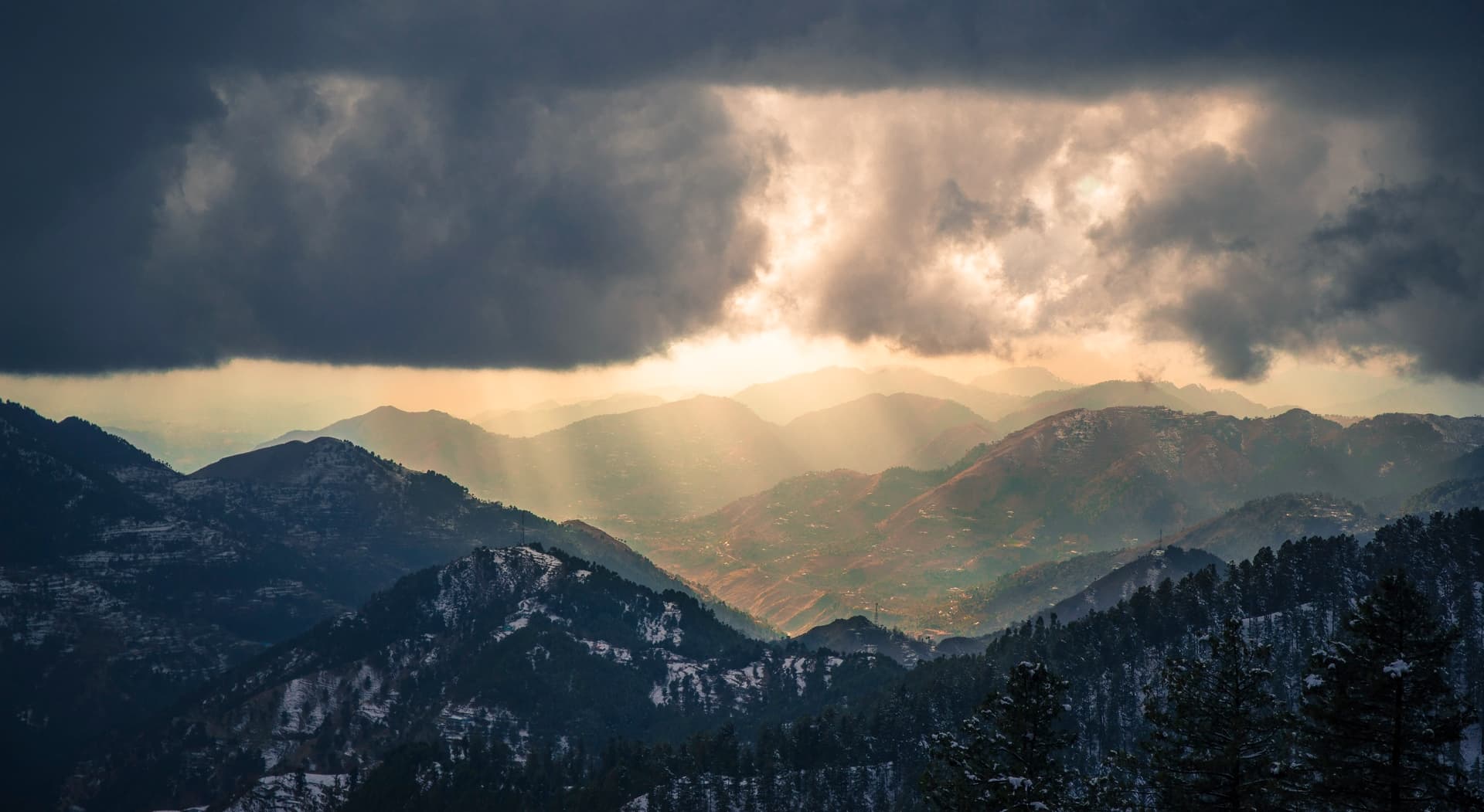
Best Time to Visit, April to October for walking and the most dependable road conditions. Winter brings snow, ice, fog, and possible traffic restrictions, so confirm access before travelling.
Getting there, Approach on the Galiyat road from Abbottabad or Murree. The road is paved but winding, and holiday traffic, rain, fog, or snow can increase journey times sharply.
Allow, One night for the town and short forest walks; two nights if adding a longer ridge hike.
What to Do
Make Nathia Gali Part of a Trip
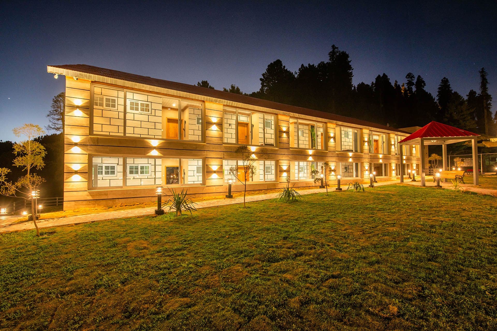
GreenPak resorts and journeys within 5 km of Nathia Gali.
Nearby
Straight-line distance from Nathia Gali, within 5 km.