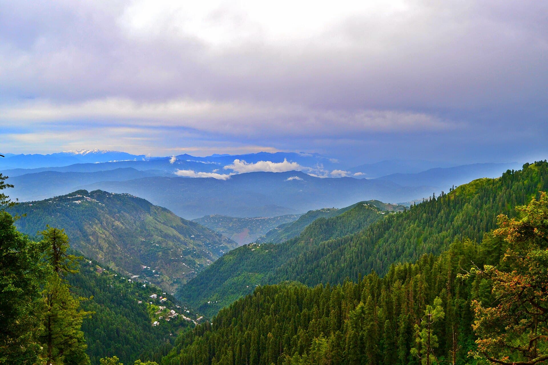
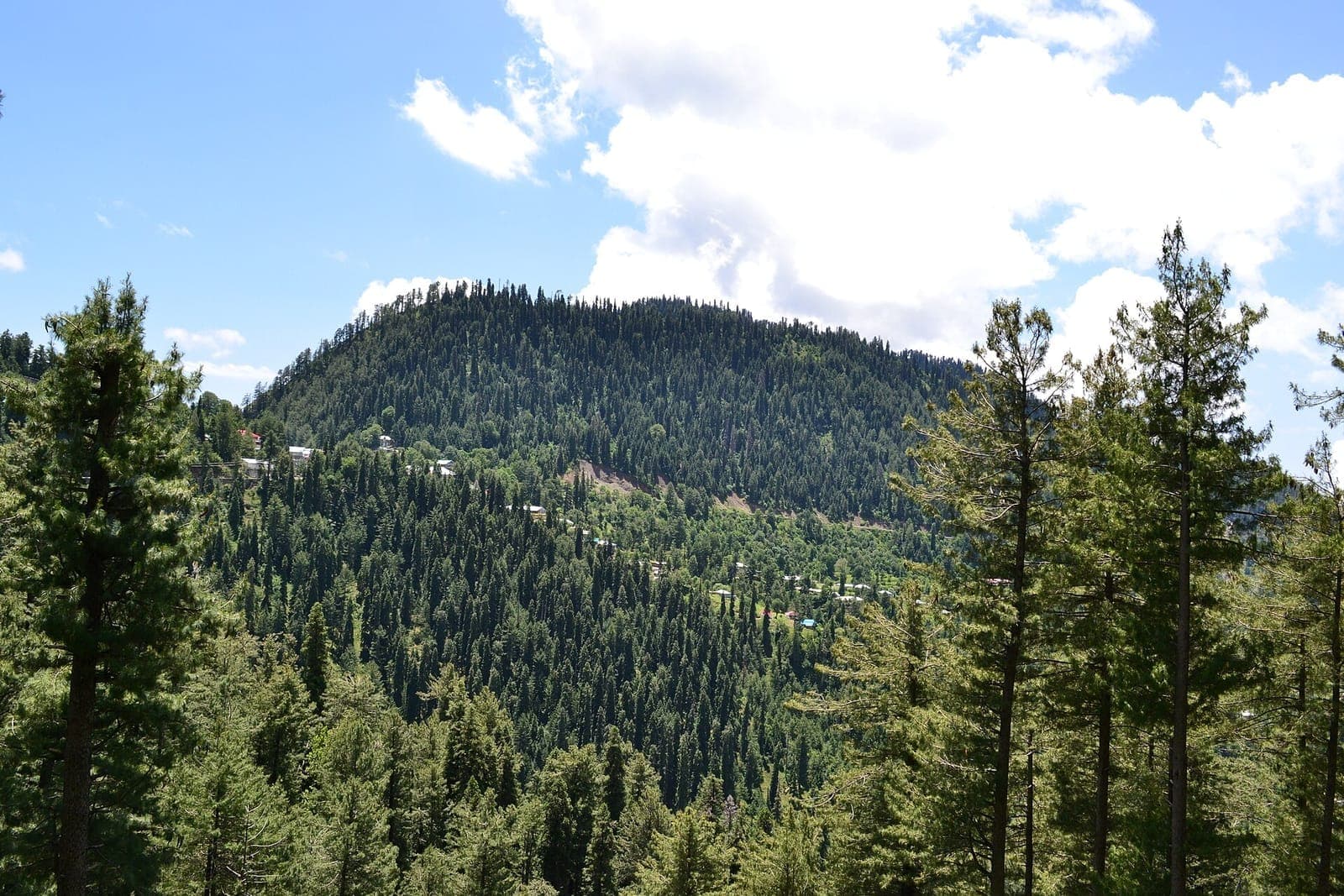
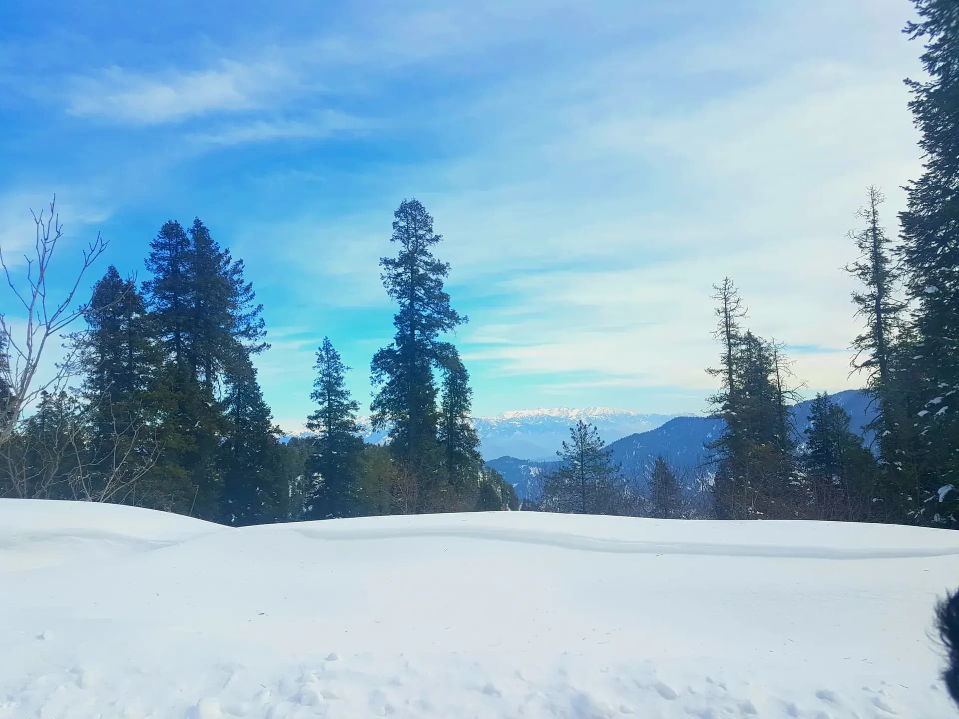
 Photo: Nooraibshah · CC BY-SA 4.0
Field guides / Khyber Pakhtunkhwa / Galiyat & Murree / Thandiani
Field guide · Nature
Abbottabad
Abbottabad District · Khyber Pakhtunkhwa, Pakistan
Thandiani
A high, pine-covered hill station northeast of Abbottabad with wide Hazara views and a quieter atmosphere than the main Galiyat corridor.
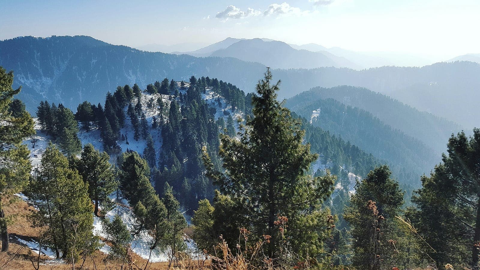
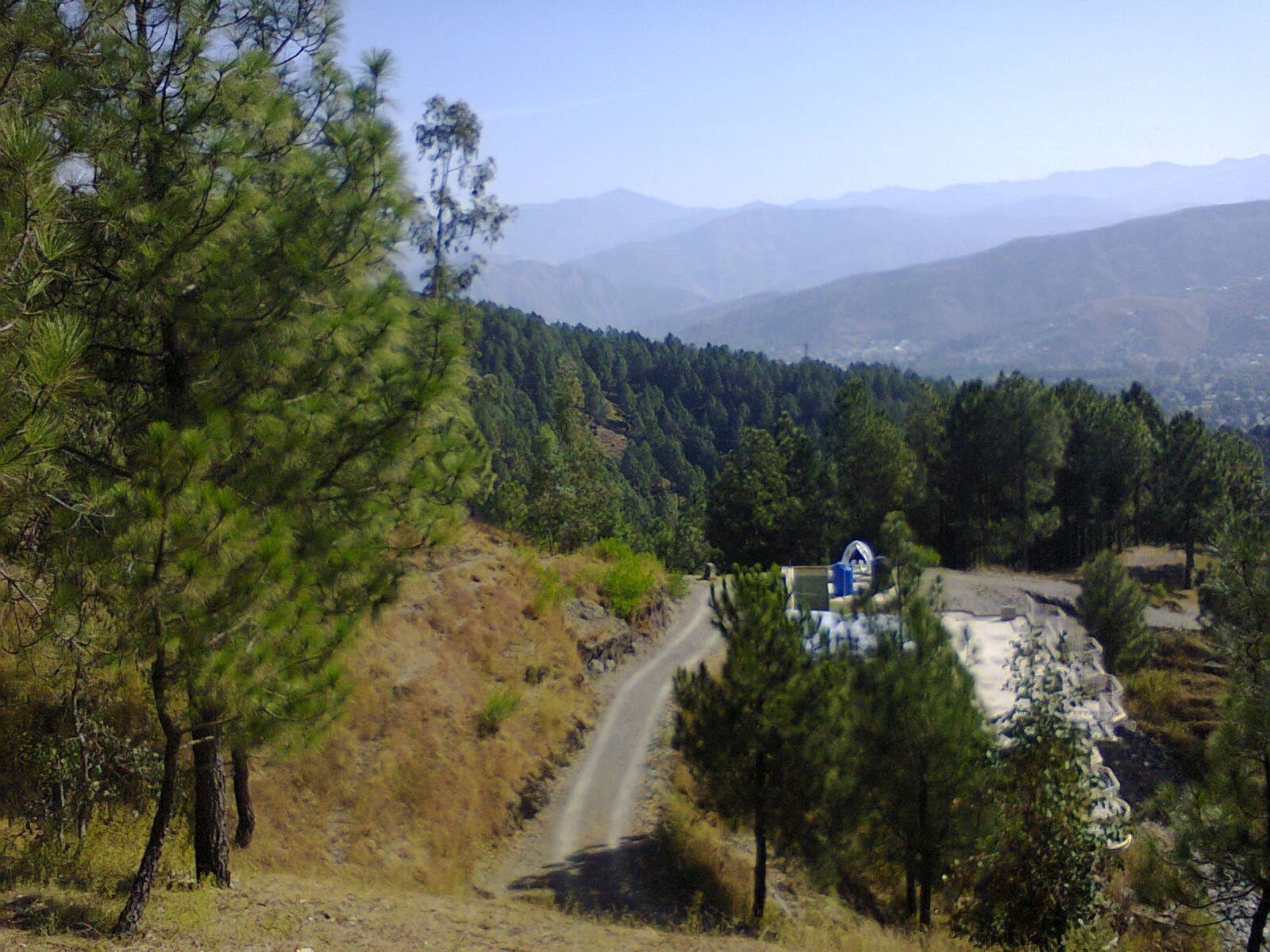
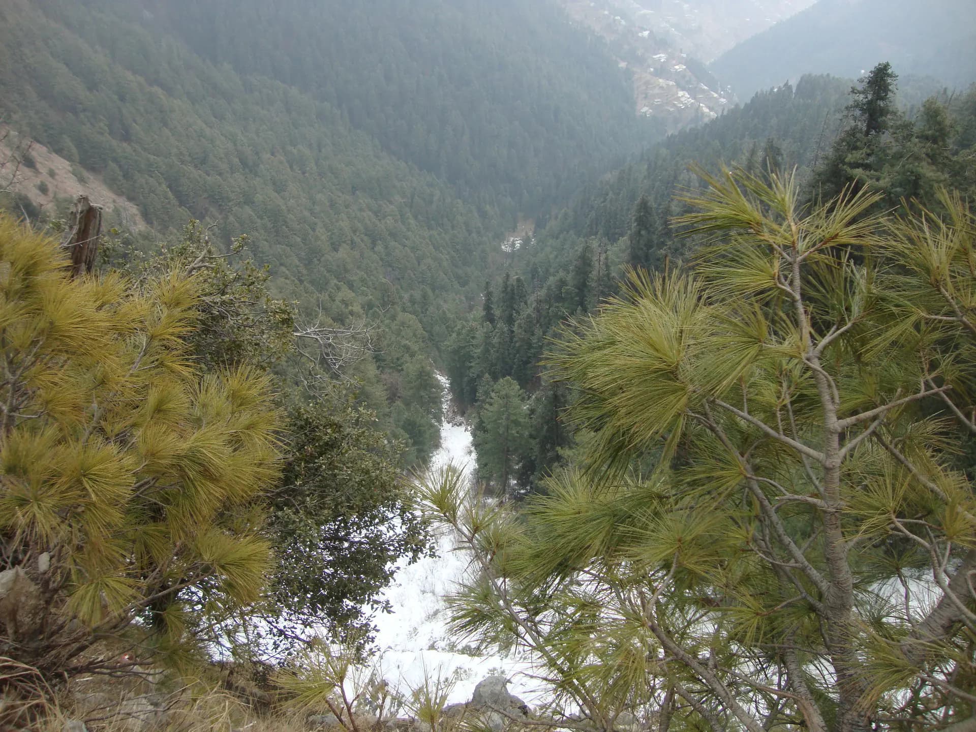
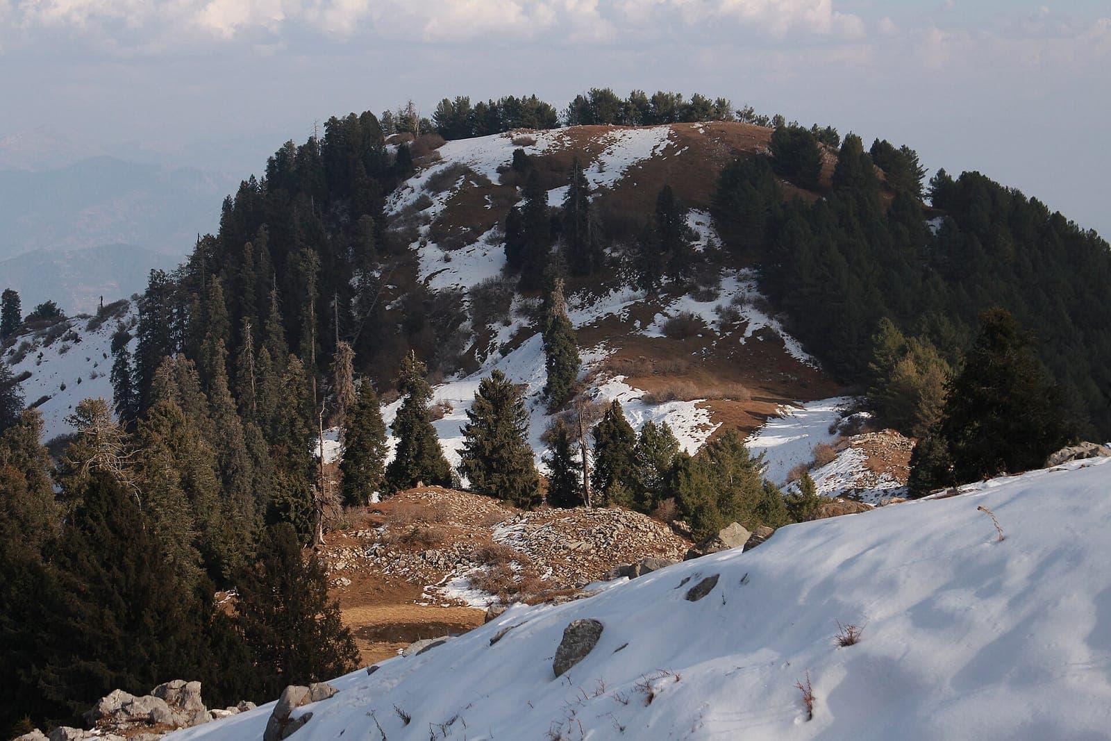
Thandiani occupies a high ridge above Abbottabad, surrounded by forest and long views across the Hazara hills. It is its own hill station, not a combined label for Murree or the Galiyat towns, and its access road and weather need separate planning.
Why go
- ✦Pine-covered ridge
- ✦Hazara mountain panoramas
- ✦Cool summer climate
- ✦Independent hill-station identity
A Separate Hill Station
Thandiani belongs to the wider Hazara mountain landscape but is not interchangeable with Nathia Gali, Ayubia, or Murree. Keep its route, weather, and accommodation guidance attached to its own location.
Plan the Return Before Sunset
Mountain weather and road visibility can change quickly. Day visitors should leave enough light for the descent unless accommodation has been confirmed.
Walk Without Leaving a Trace
Use established paths, keep noise low around wildlife and settlements, and take all litter back toward Abbottabad.
Planning tip
Best Time to Visit, April to October for the most reliable road access. Winter snow can make the upper road difficult or temporarily impassable.
Getting there, Drive northeast from Abbottabad on the Thandiani road. Check weather, fuel, and road conditions before the climb, especially after rain or snow.
Allow, A full day from Abbottabad, or one night for sunset, sunrise, and short forest walks.
What to Do
Nearby
Straight-line distance from Thandiani, within 5 km.
Nothing else genuinely close by (within 5 km of Thandiani) is published yet.