
Field guides / Gilgit Division / Ghizer Valleys / Chatorkhand
Field guide · Nature
Gilgit Division
Ghizer District · Gilgit-Baltistan, Pakistan
Chatorkhand
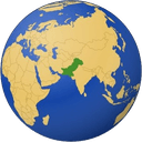
The main town of the Ishkoman valley, on the Karambar River about 80 km north-west of Gilgit.
Chatorkhand, at about 6,850 ft, is the headquarters of Ishkoman tehsil and the largest settlement in the Ishkoman valley, on the Karambar River some 80 km north-west of Gilgit.
Why go
- ✦The largest settlement in Ishkoman
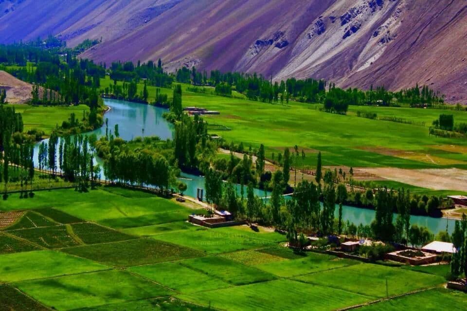
- ✦Green fields along the Karambar River
- ✦A small bazaar and tea houses
- ✦A base for gentler treks
About
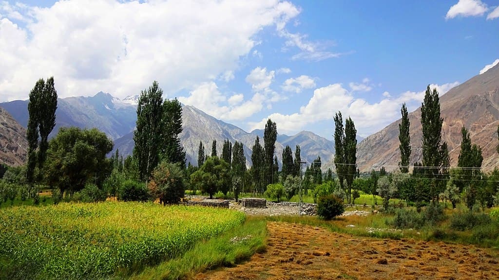
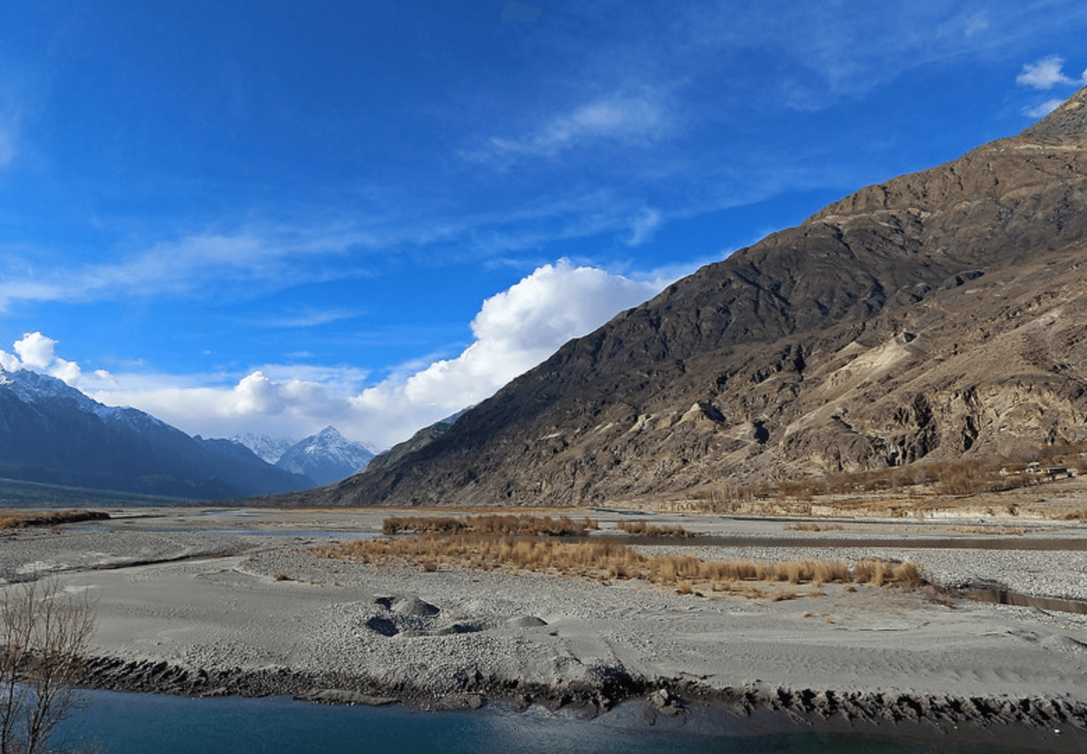
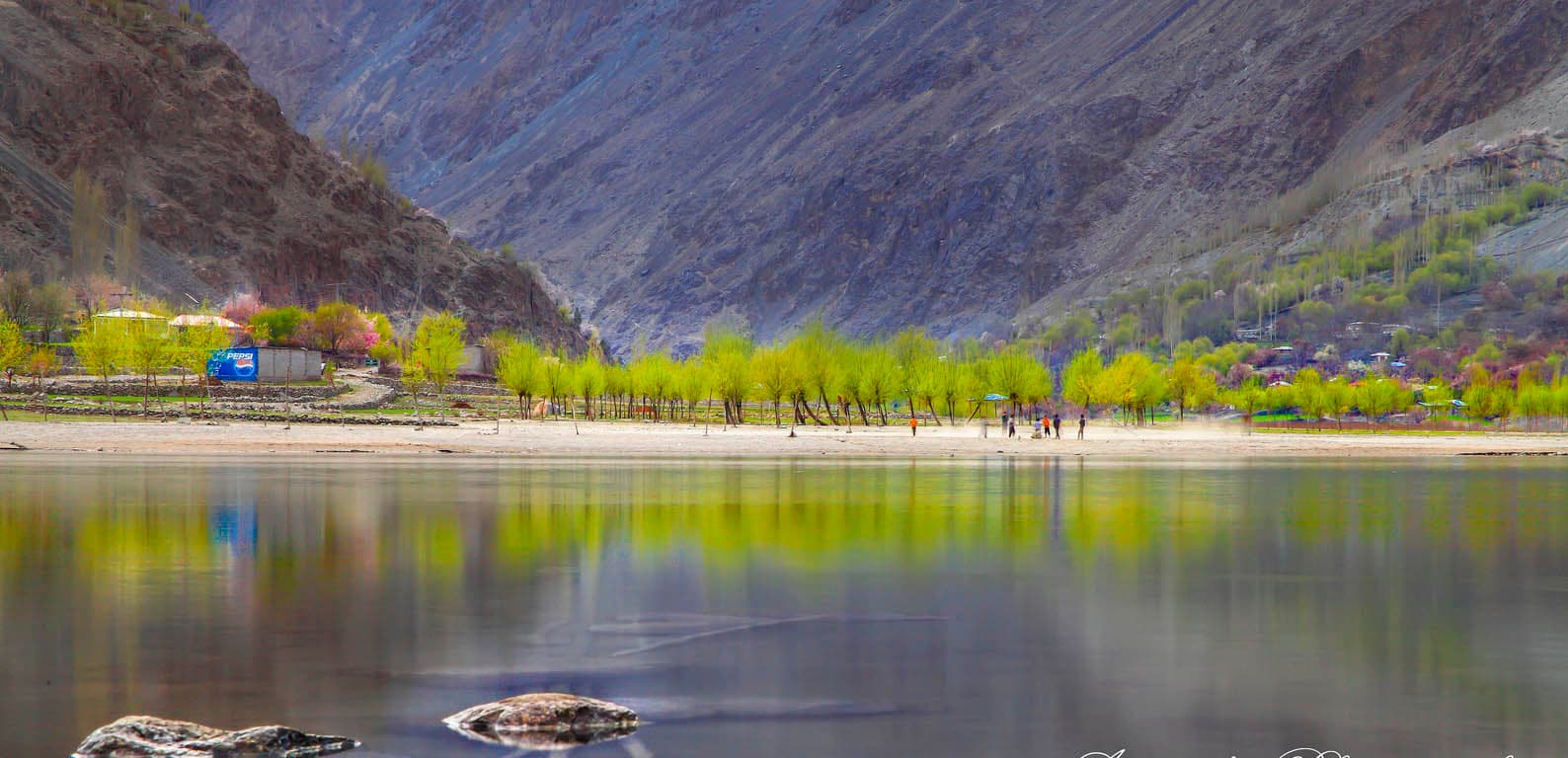
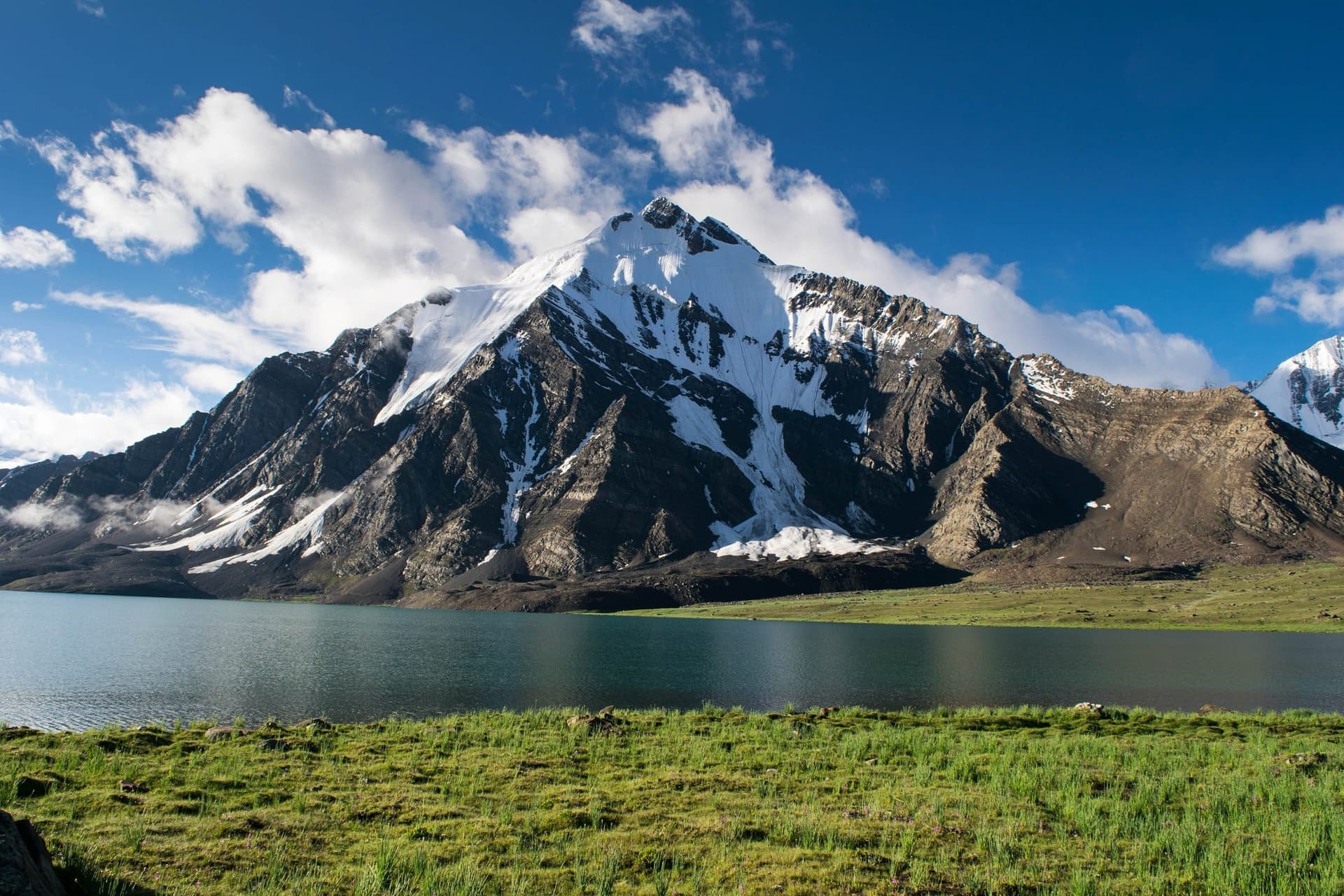
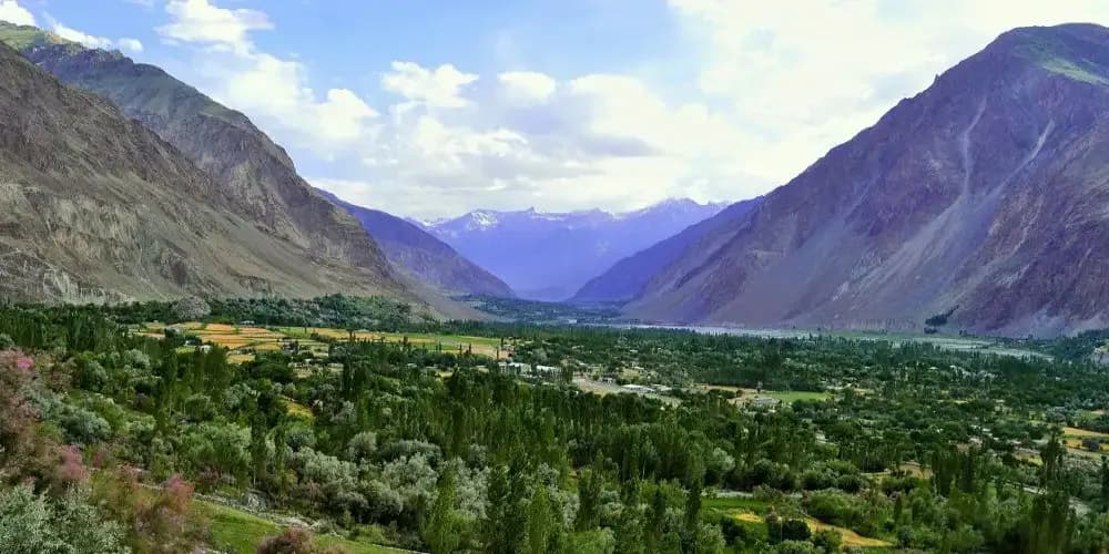
It is a deep valley between high brown mountains, with snow peaks in the distance and green fields along the river. The village has a small bazaar, tea houses and lodgings, and is a base for treks in the valley, which are gentler than many in Gilgit-Baltistan.
How to Reach
About 80 km north-west of Gilgit, up the Ishkoman valley from the Gilgit–Ghizer road.
Responsible Travel
Use Leave No Trace principles, carry out all rubbish, avoid disturbing wildlife and livestock, and respect private/community land.
Planning tip
Best Time to Visit, May to October.
Getting there, About 80 km north-west of Gilgit, up the Ishkoman valley from the Gilgit–Ghizer road.
Allow, A night, or a base for several days of walking.
What to Do
Nearby
Straight-line distance from Chatorkhand, within 5 km.
Nothing else genuinely close by (within 5 km of Chatorkhand) is published yet.