 Photo: GB Tourism
Field guides / Gilgit Division / Ghizer Valleys / Ishkoman Valley
Field guide · Nature
Gilgit Division
Ghizer District · Gilgit-Baltistan, Pakistan
Ishkoman Valley
A valley of northern Ghizer bordering the Wakhan Corridor, from 2,100 to 3,700 m.
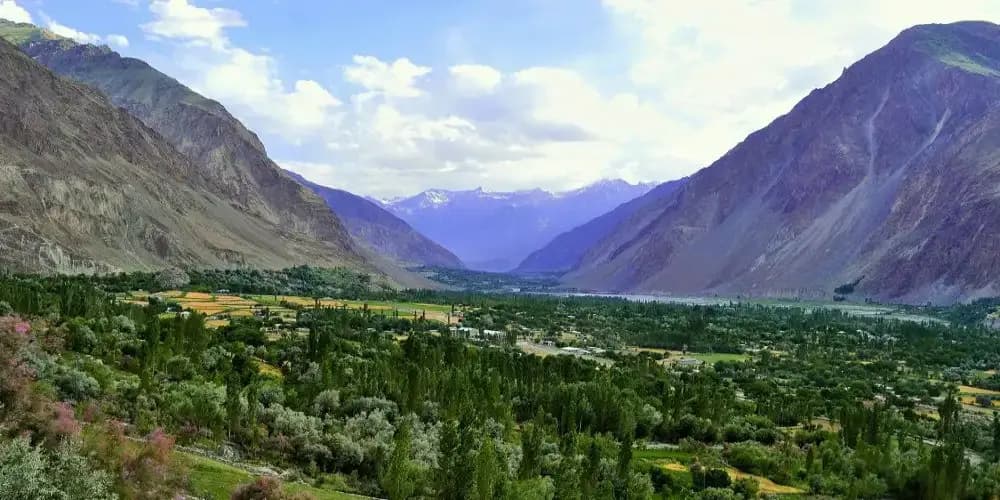
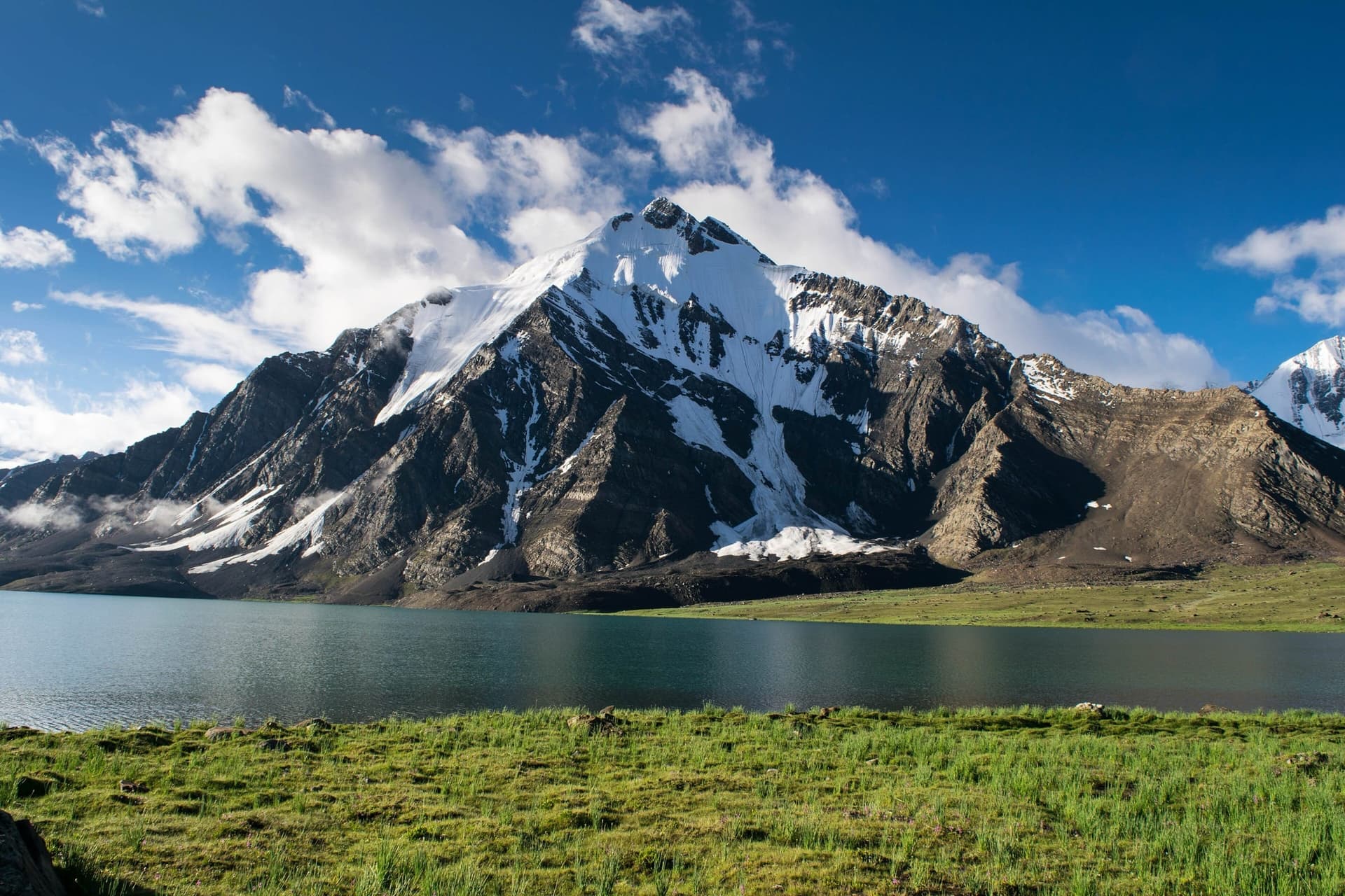
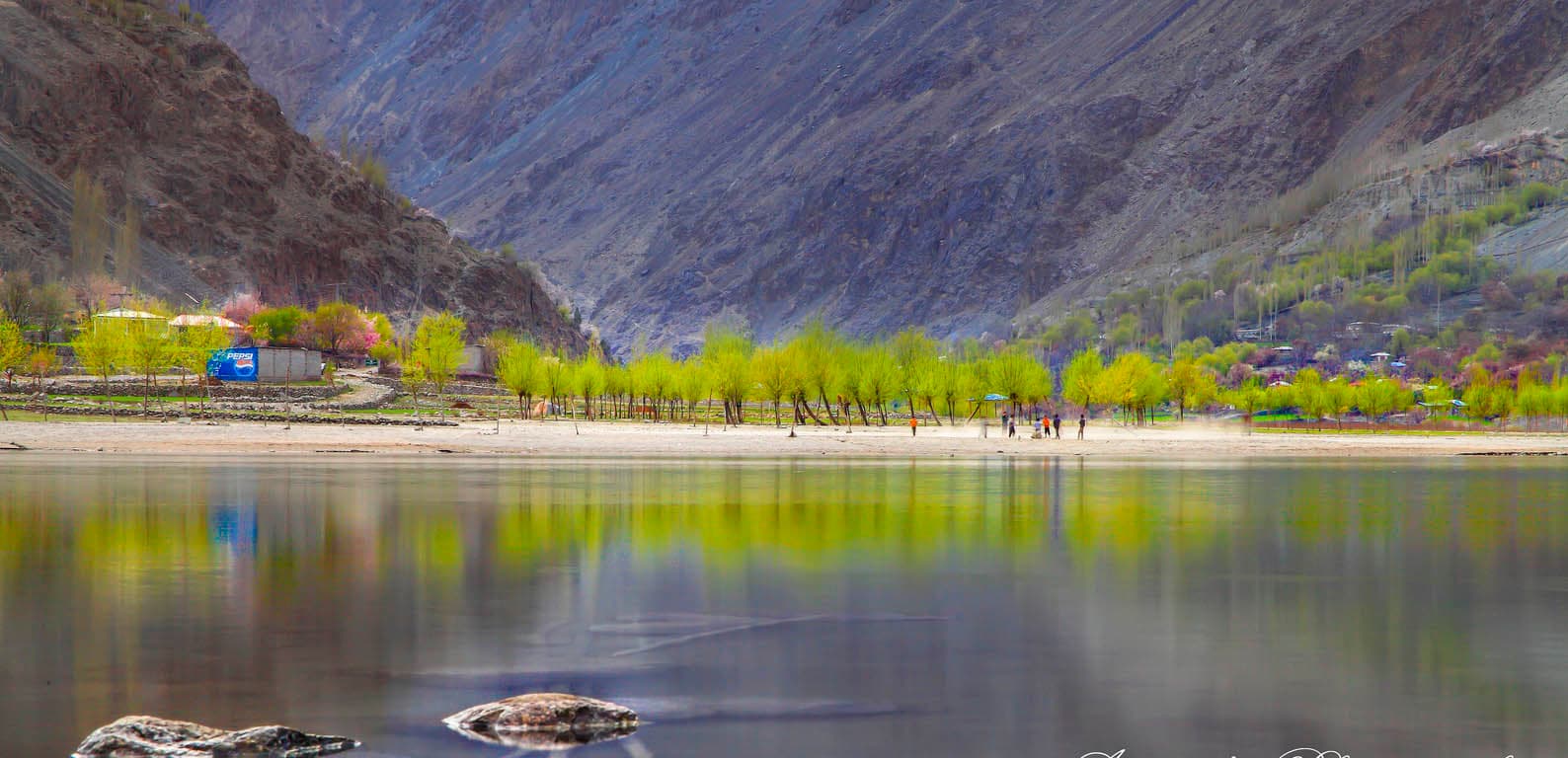
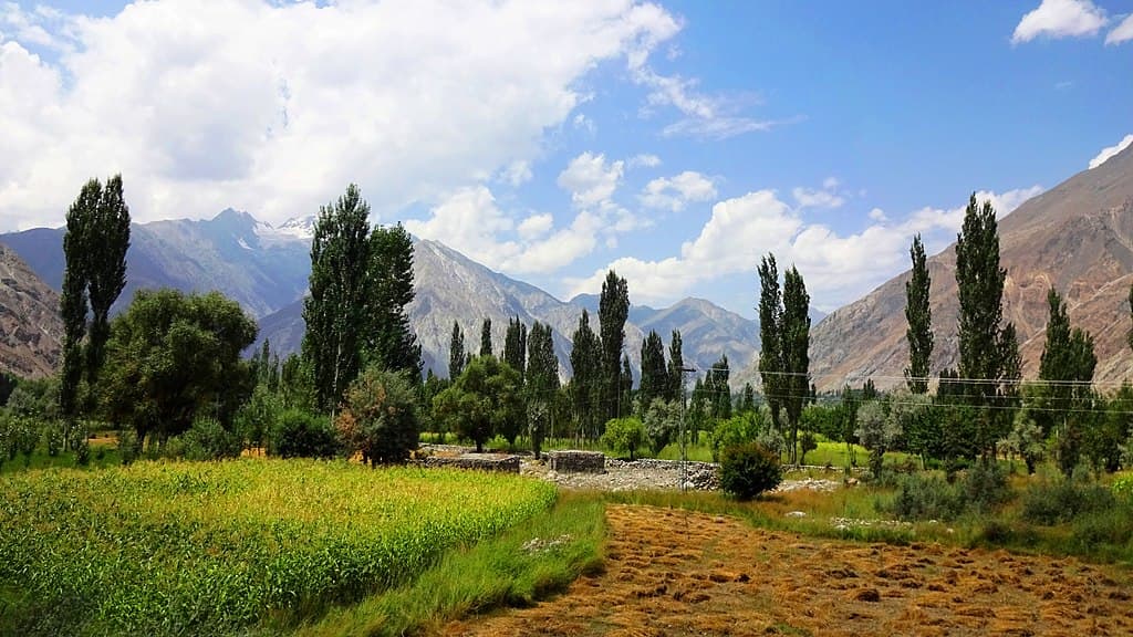
The Ishkoman valley lies in the north of Ghizer District, bordering Afghanistan's Wakhan Corridor. It climbs from about 2,100 m to 3,700 m, and its main town is Chatorkhand.
Why go
- ✦Borders the Wakhan Corridor
- ✦Shina, Khowar, Burushaski and Wakhi spoken
- ✦The Karambar River
- ✦From 2,100 to 3,700 m
About
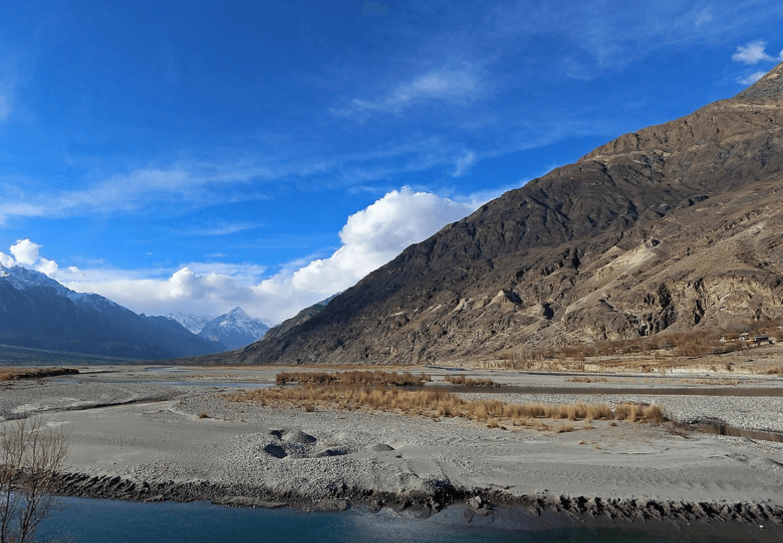
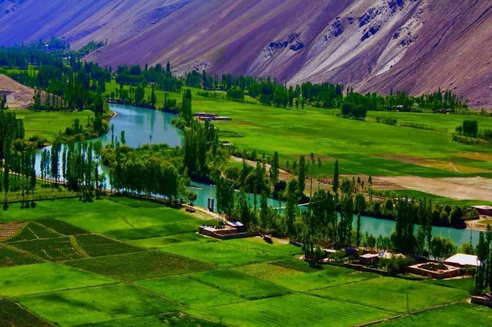
Four languages are spoken here: Shina, Khowar, Burushaski and Wakhi. The valley follows the Karambar River, with green fields along it, and passes lead on towards the Pamirs.
How to Reach
North from the Gilgit–Ghizer road up the Ishkoman valley to Chatorkhand, about 80 km from Gilgit.
Responsible Travel
Use Leave No Trace principles, carry out all rubbish, avoid disturbing wildlife and livestock, and respect private/community land.
Planning tip
Best Time to Visit, May to October.
Getting there, North from the Gilgit–Ghizer road up the Ishkoman valley to Chatorkhand, about 80 km from Gilgit.
Allow, One or two nights; longer for treks.
What to Do
Nearby
Straight-line distance from Ishkoman Valley, within 5 km.
Nothing else genuinely close by (within 5 km of Ishkoman Valley) is published yet.