Field guides / Azad Jammu and Kashmir / Muzaffarabad & Leepa / Jhelum Valley
Field guide · Nature
Muzaffarabad
Muzaffarabad District · Azad Jammu and Kashmir, Pakistan
Jhelum Valley
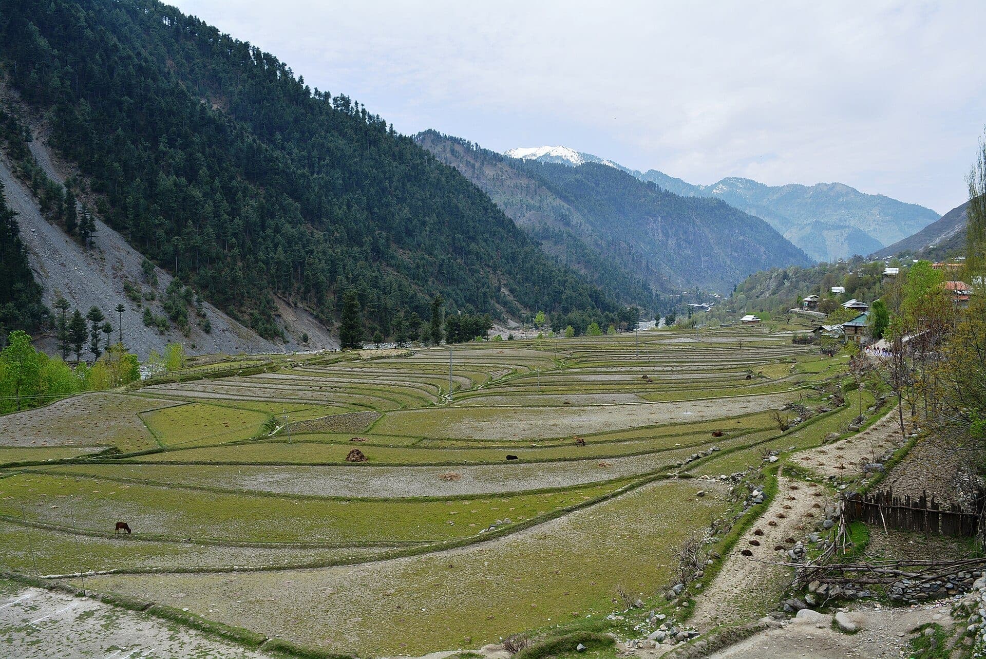
A river corridor east of Muzaffarabad where the Jhelum runs beneath steep green mountains through Garhi Dupatta, Hattian Bala, and Chinari, and the gateway toward Leepa Valley.
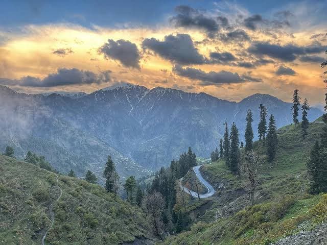
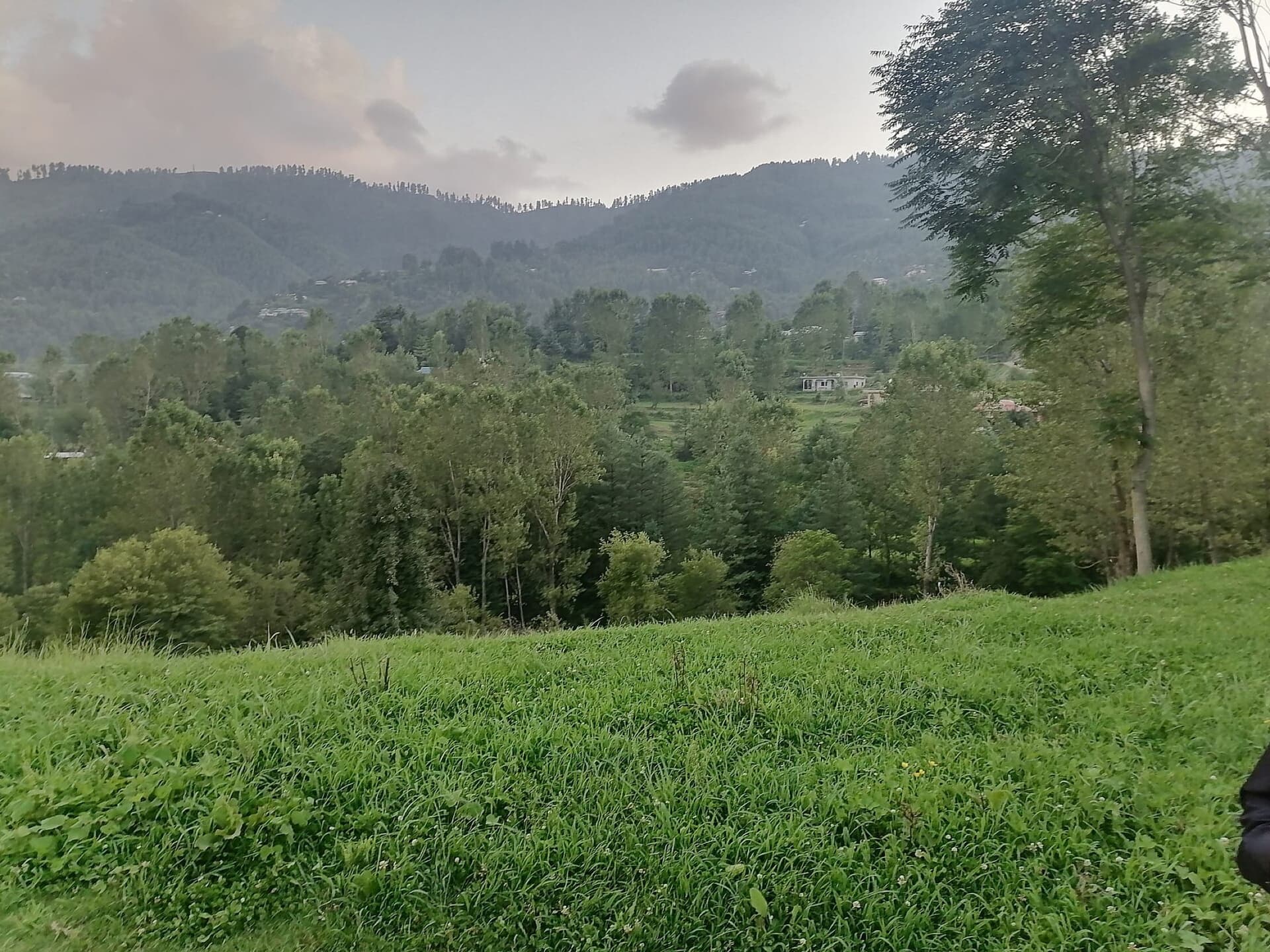
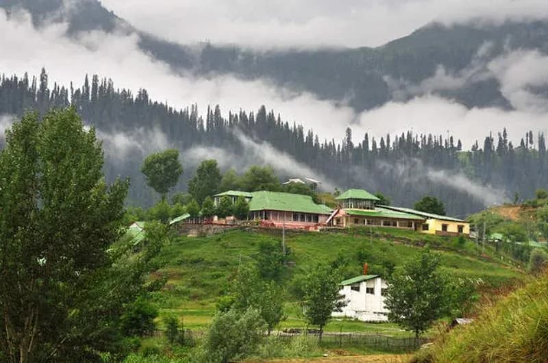
Jhelum Valley is one of AJK's most important travel corridors, yet it is often treated only as the road toward Leepa — it deserves its own journey. Leaving Muzaffarabad, the road follows the Jhelum upstream as settlement gradually thins and the surrounding mountains rise, with side roads climbing toward Chikar, Reshian, and the higher Leepa country. The experience is less alpine than Neelum Valley but more layered: river scenery, working towns, forested slopes, and routes branching into several distinct mountain regions.
Why go
- ✦Jhelum River drive
- ✦Gateway to Leepa
- ✦Chinari and Hattian Bala
- ✦Easy scenic road trip
Follow the River
Rather than driving straight through, stop along the river corridor and treat the journey as a sequence of landscapes. Garhi Dupatta, Hattian Bala, and Chinari all give the valley a lived-in character; road conditions farther east can change, particularly close to sensitive border areas.
Plan It with GreenPak
Use Jhelum Valley as the spine for a two- or three-day trip involving Chikar, Reshian, Dao Khan, or Leepa.
Planning tip
Best Time to Visit, March to November; higher side valleys have shorter seasons.
Getting there, The valley begins directly east of Muzaffarabad along the Jhelum River road.
Allow, A full day for the corridor; two or more nights if exploring its side valleys.
What to Do
Nearby
Straight-line distance from Jhelum Valley, within 5 km.
Nothing else genuinely close by (within 5 km of Jhelum Valley) is published yet.