Field guides / Azad Jammu and Kashmir / Muzaffarabad & Leepa / Reshian
Field guide · Nature
Jhelum Valley
Jhelum Valley District · Azad Jammu and Kashmir, Pakistan
Reshian
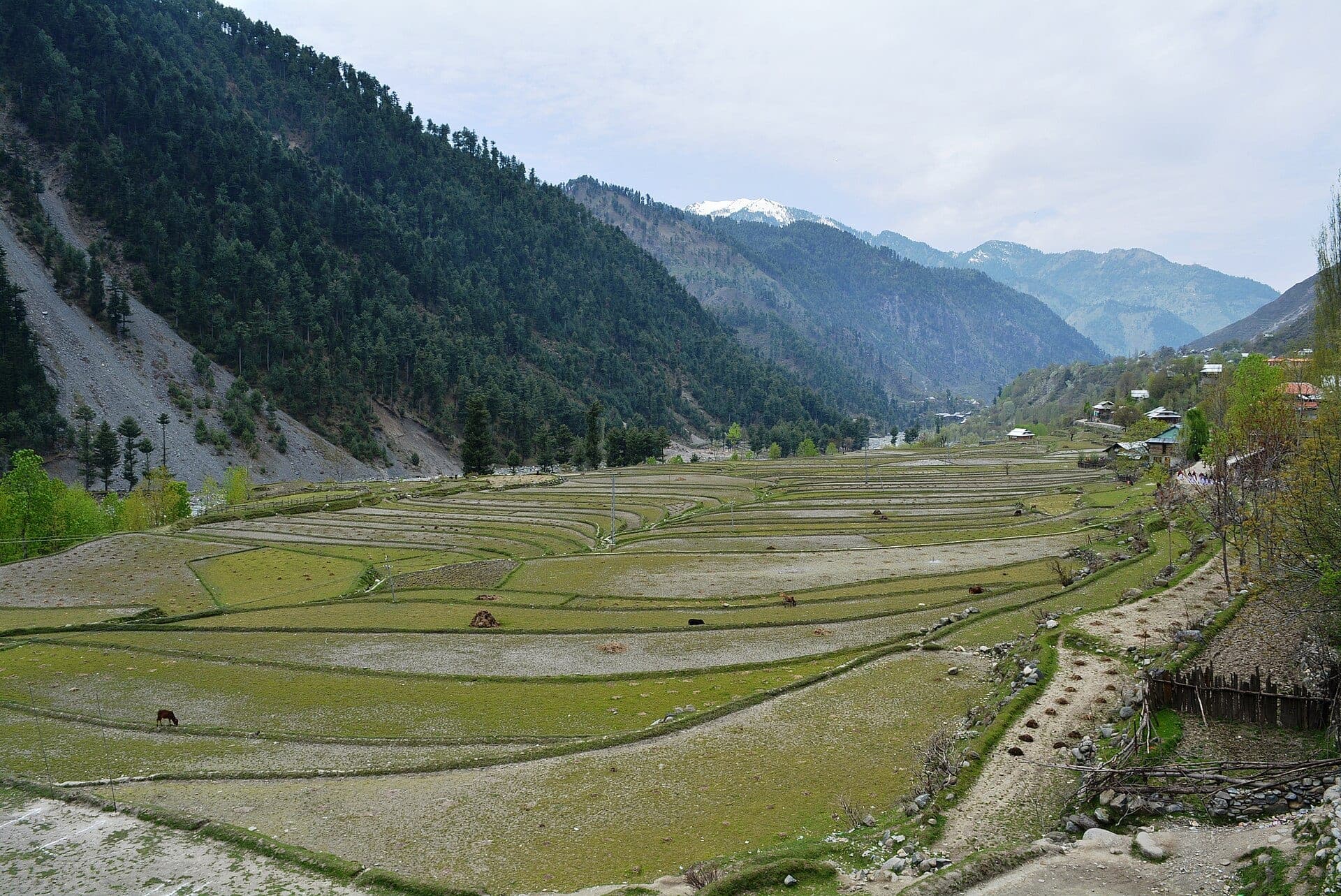
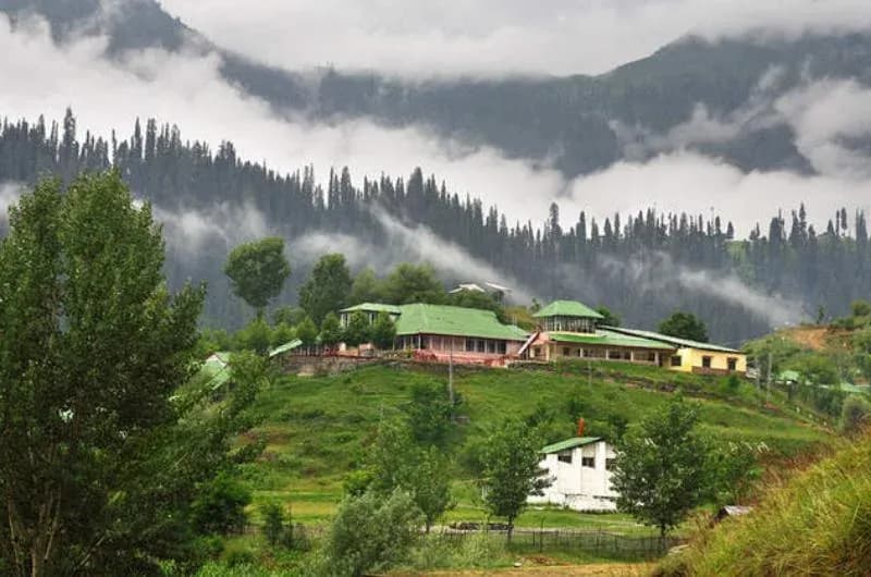
A riverside mountain settlement at about 1,674m, roughly 67km from Muzaffarabad, marking the main gateway from Jhelum Valley toward the high road into Leepa.
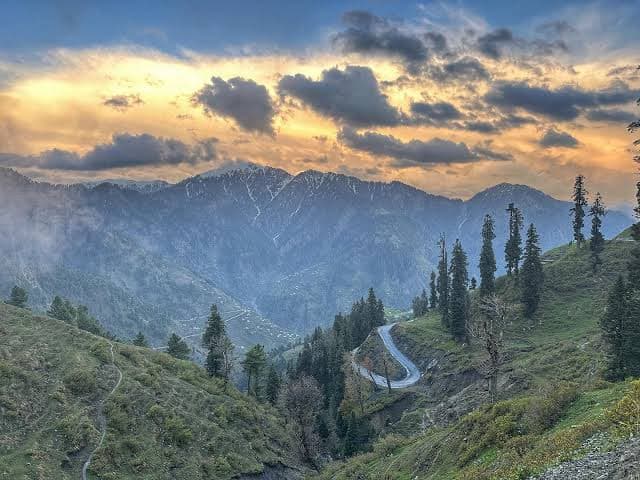
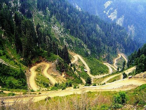
Reshian sits roughly 67km from Muzaffarabad and marks an important transition in the journey east. Up to this point, the route follows the Jhelum corridor; from here, the road begins climbing sharply toward the high Reshian Gali before descending into Leepa Valley. That position makes Reshian more than a roadside village — it is the place to pause, check weather and road conditions, arrange a suitable vehicle if required, and decide whether to continue upward or spend time exploring nearby Dao Khan.
Why go
- ✦Leepa gateway
- ✦Jhelum scenery
- ✦Access to Dao Khan
- ✦Mountain-road staging point
Before the Climb to Leepa
The high route beyond Reshian is seasonal and significantly more demanding than the lower valley road; snow, rain, and road work can all alter journey times. Dao Khan, only a few kilometres away and considerably higher, makes a rewarding alternative when a full Leepa journey is not possible.
Plan It with GreenPak
Do not schedule Reshian and Leepa around fixed urban driving times. Build in daylight and weather margin.
Planning tip
Best Time to Visit, May to November for onward travel toward Leepa; lower Reshian itself has a longer accessible season.
Getting there, Around 67km by road from Muzaffarabad through Jhelum Valley.
Allow, A few hours as a stop, or one night before continuing toward Leepa.