

Destinations / Azad Jammu & Kashmir
Pine Valleys & Rivers · Regional Guide
Azad Jammu & Kashmir
A lattice of pine valleys and glacier-fed rivers, Neelum, Leepa, and high lakes like Ratti Gali at 3,700m.
Why go
Rivers and Ridges
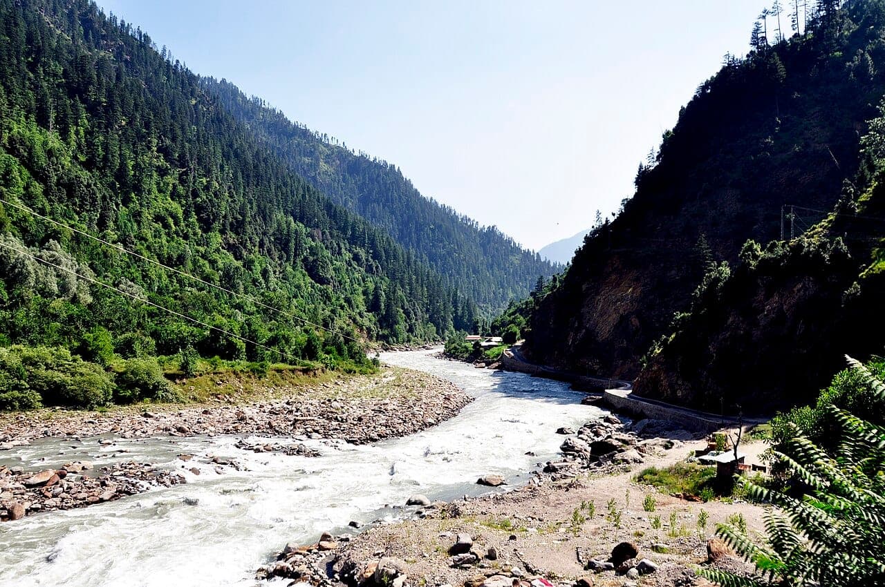
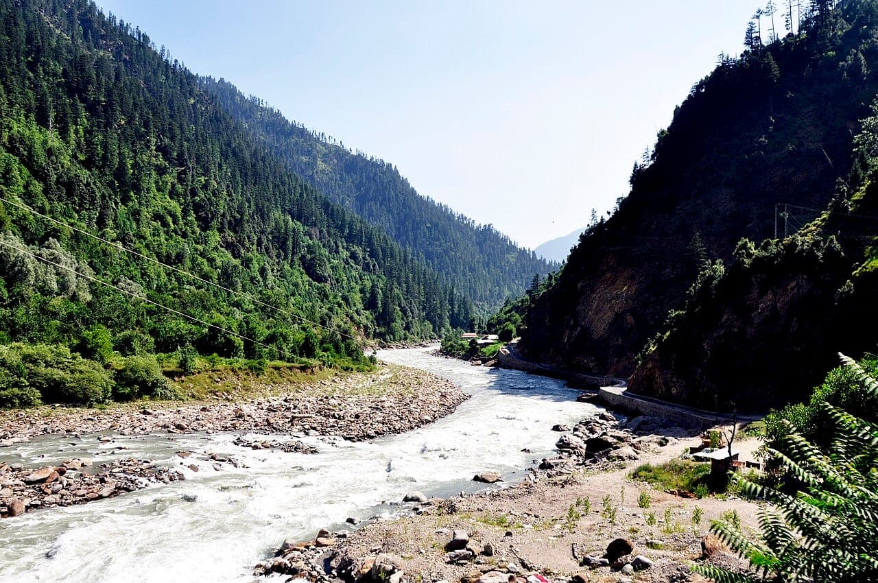
Azad Jammu and Kashmir is a lattice of pine valleys and clear rivers, quieter than the Karakoram circuit but no less dramatic. Muzaffarabad sits at the confluence of the Neelum and Jhelum rivers, the gateway to two very different valley systems: the long Neelum corridor running northeast toward the high peaks, and Leepa, a terraced valley of wooden Kashmiri houses tucked south of the Jhelum.
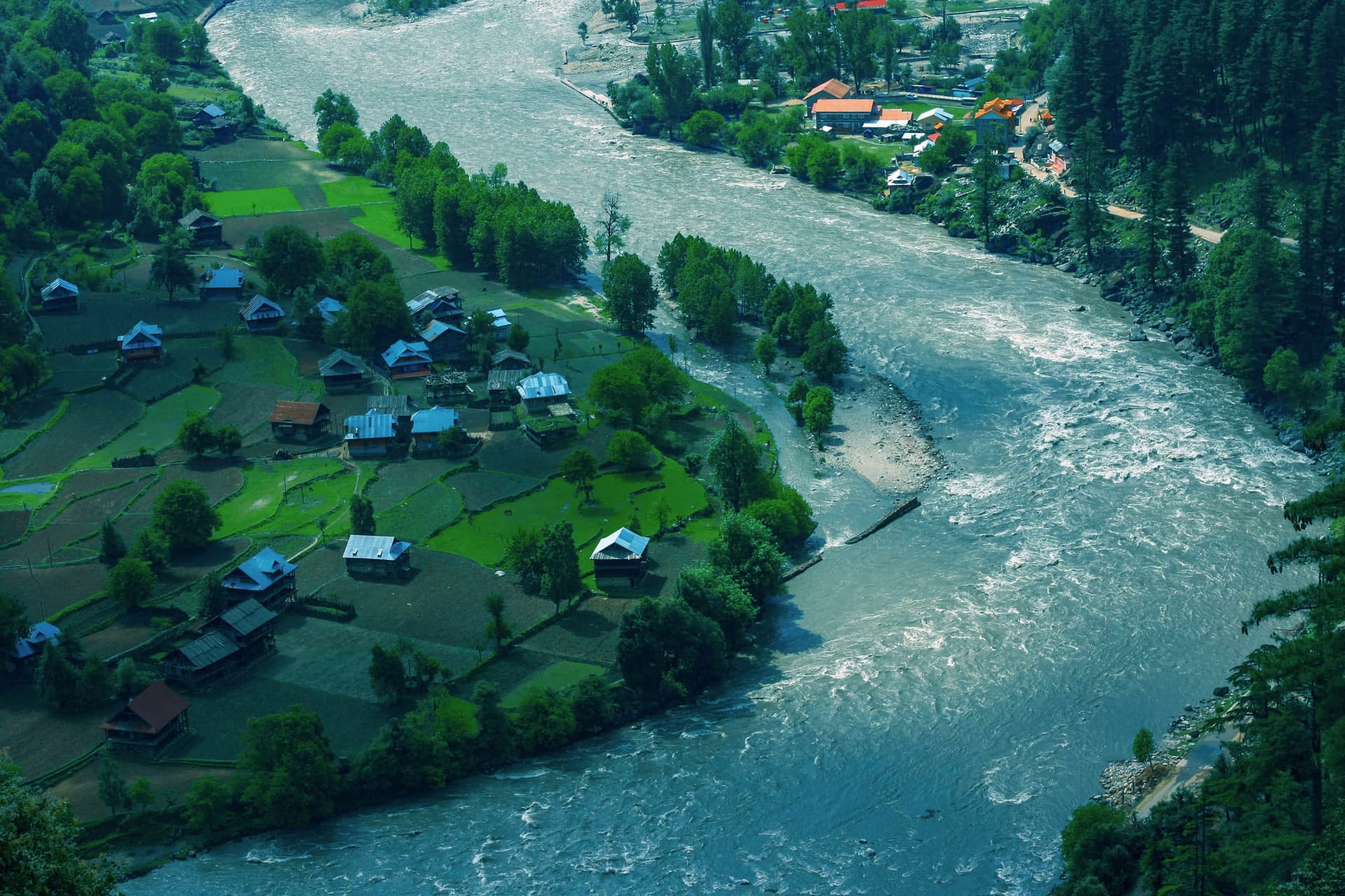
The Neelum road runs deep along the river with villages like Keran, Sharda, and Taobat strung along it, each a little further from Muzaffarabad and a little quieter than the last, the valley narrowing toward the high passes at its northeastern end.
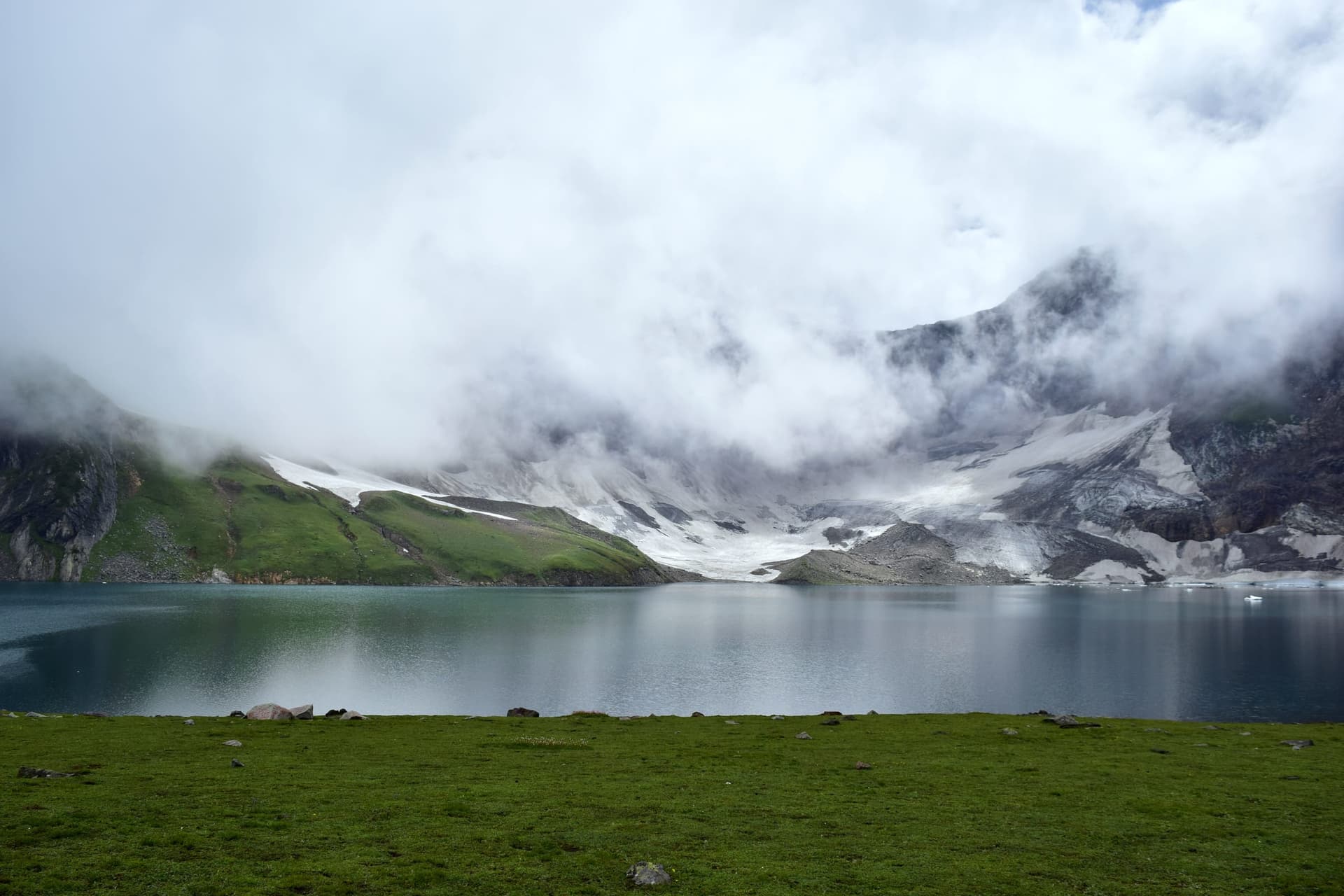
Ratti Gali Lake, at roughly 3,700m, needs a jeep track and a walk from Dowarian and is open only in the warmer months, rewarding the effort with a glacial cirque few day-trippers reach. Leepa Valley, reached by a separate pass south of Muzaffarabad, is known for terraced rice fields, dense walnut orchards, and traditional wooden houses built with steep roofs to shed heavy snow; it is open to visitors from around late April to November before cutting off in winter.
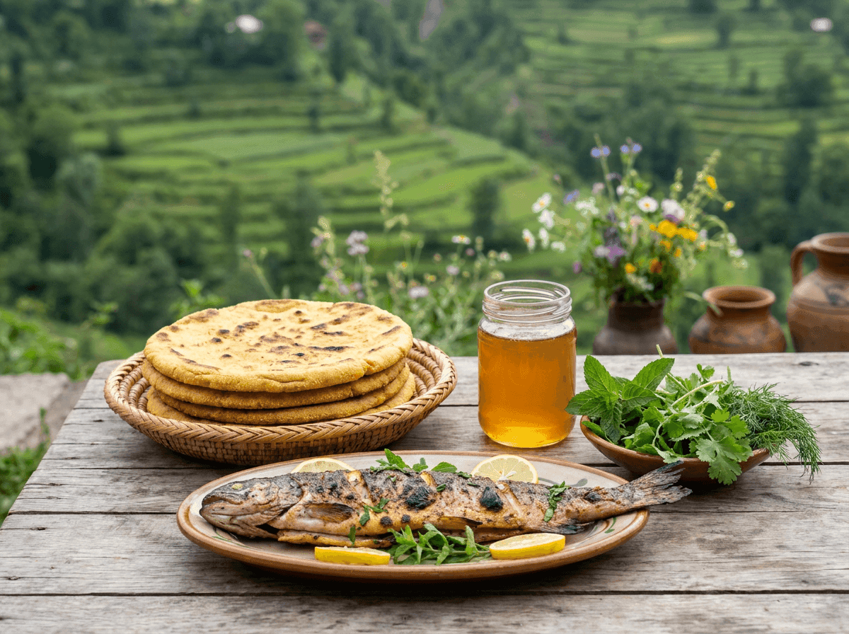
Plan multi-night stays in one valley rather than daily moves, mountain roads take longer than maps suggest, and weather can affect timing on some routes with little notice. Trout from the Neelum and Jhelum rivers, walnuts, and honey are the valley's signature foods, best eaten where they're caught or grown rather than carried down to the city.
South of Muzaffarabad, the Jhelum Valley road runs upstream through Garhi Dupatta, Hattian Bala, and Chinari toward Reshian, the staging point for the high pass into Leepa, with the quiet forest retreat of Dao Khan just above it; high above the Neelum road near Lawat, the remote alpine Patlian Lake needs a rough 4x4 track and a summer window.
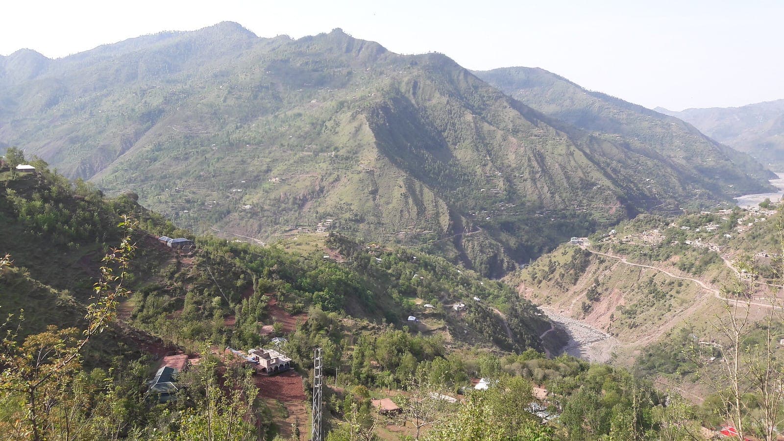
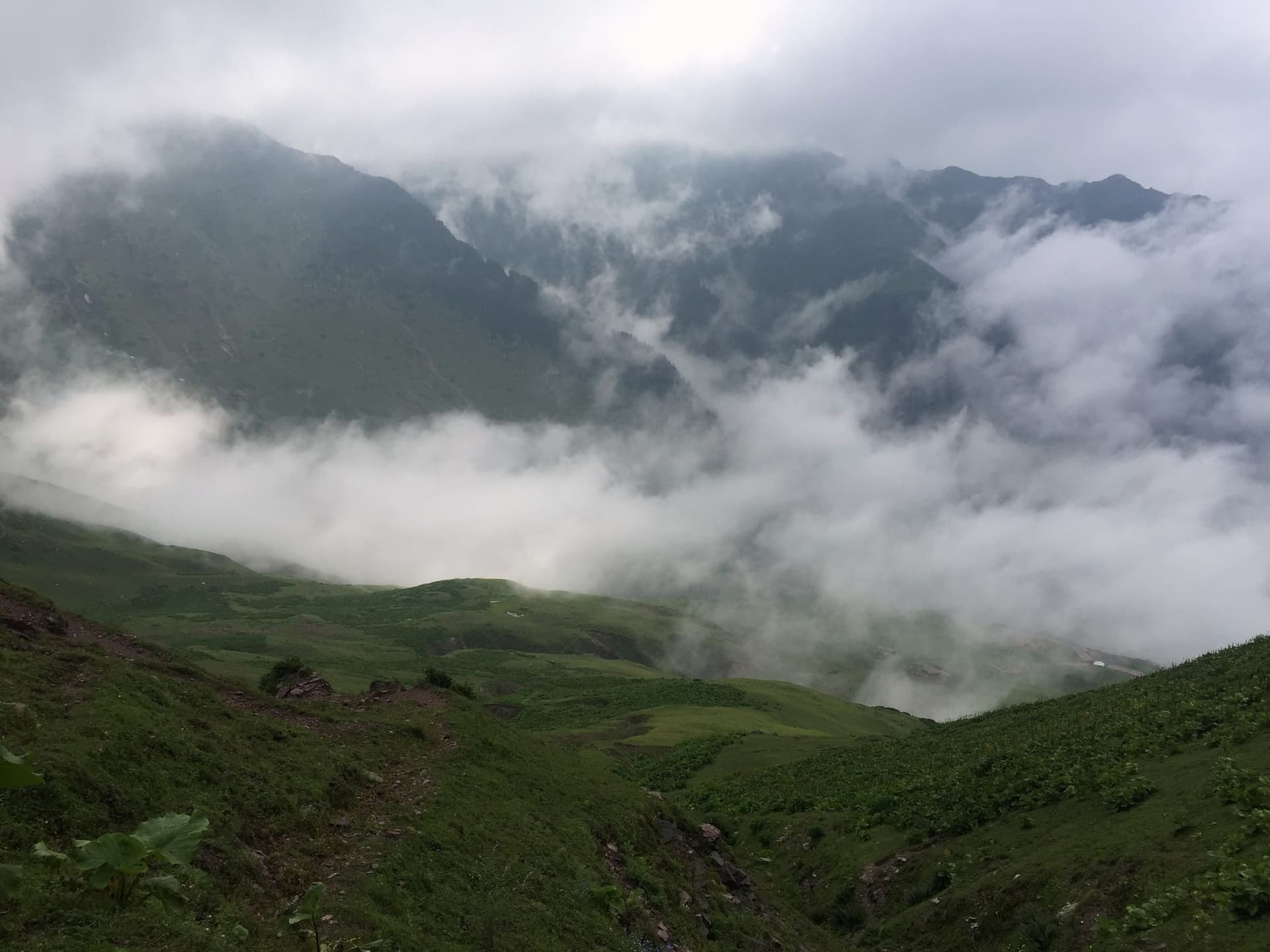
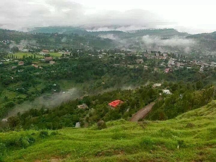
Poonch District centres on Rawalakot, the practical base for the high grassy ridge at Toli Pir and for Sudhan Gali, the staging point for the Ganga Choti trek; nearby Pallandri anchors Sudhnuti District to the south. Around Bagh, the forested hill station of Dheer Kot pairs with the historic viewpoint at Neela Butt, while Las Danna climbs into wider Pir Panjal views. Farther east, remote Haveli & Forward Kahuta is the base for the serious high-altitude hike up Bedori Peak.
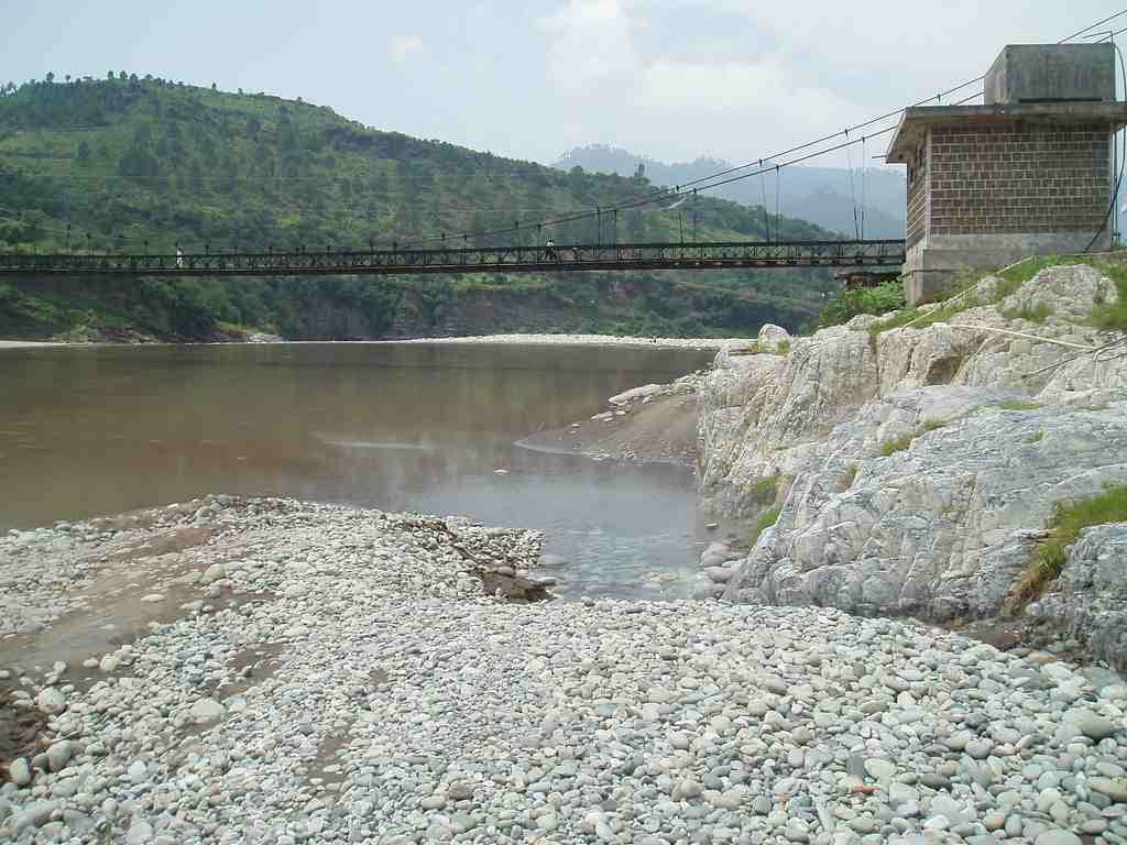
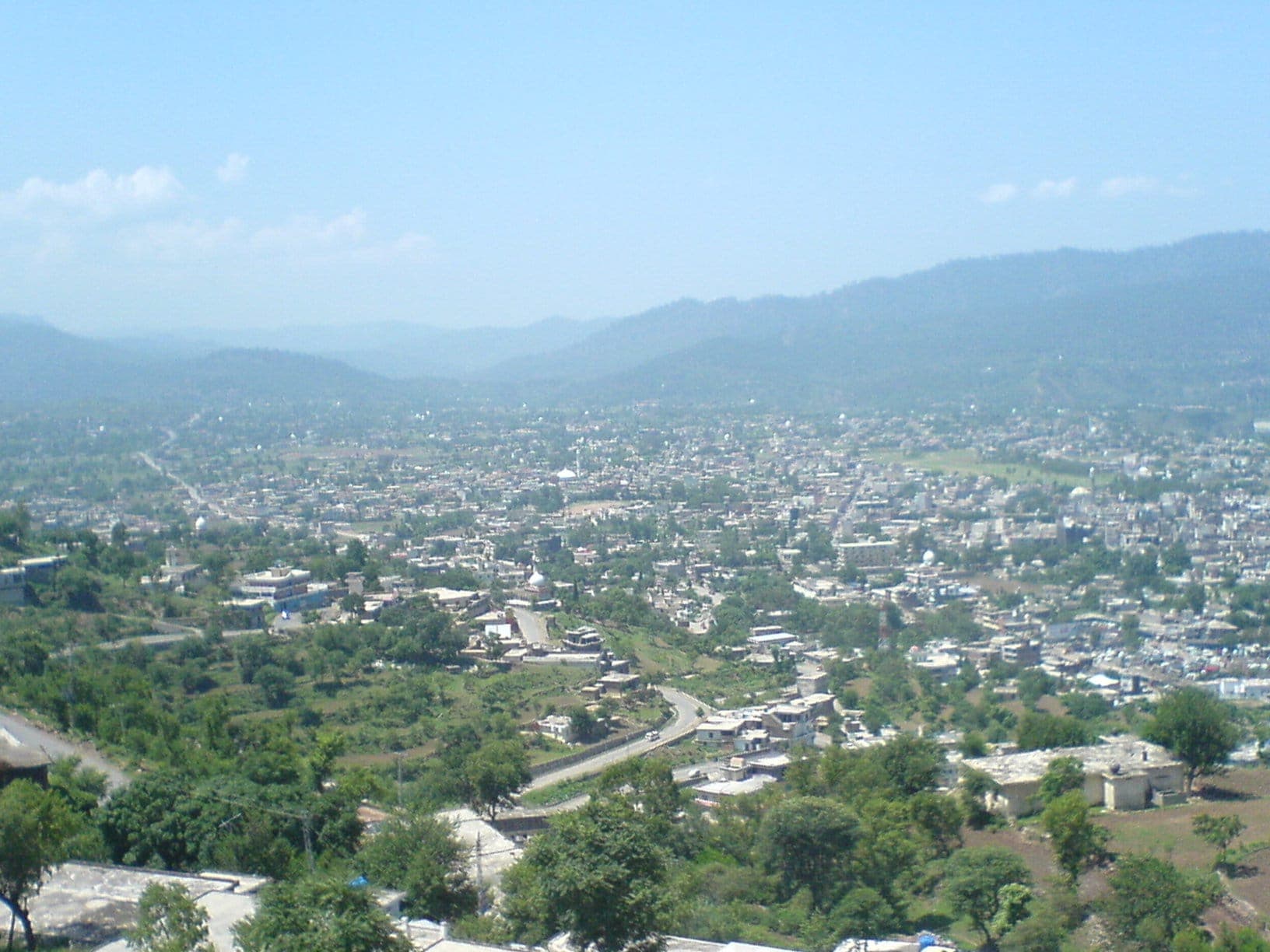
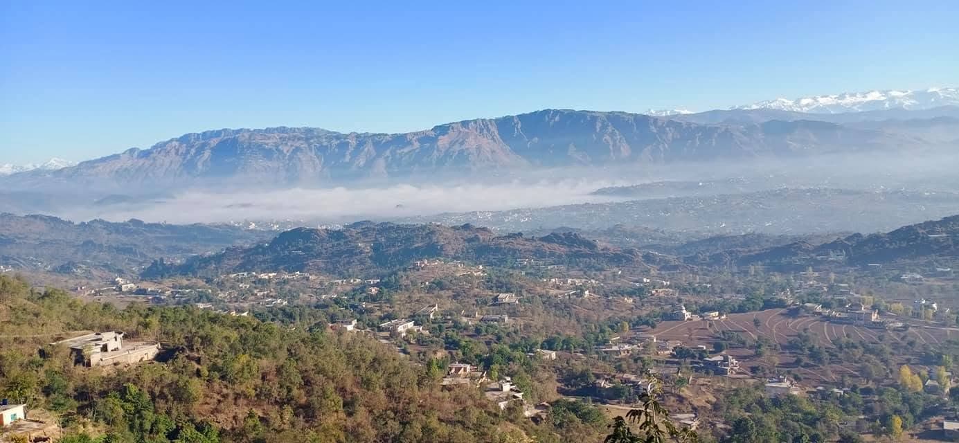
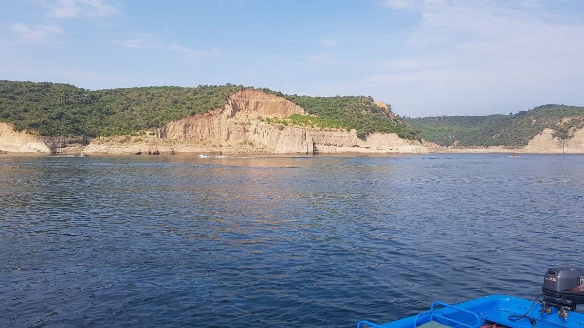
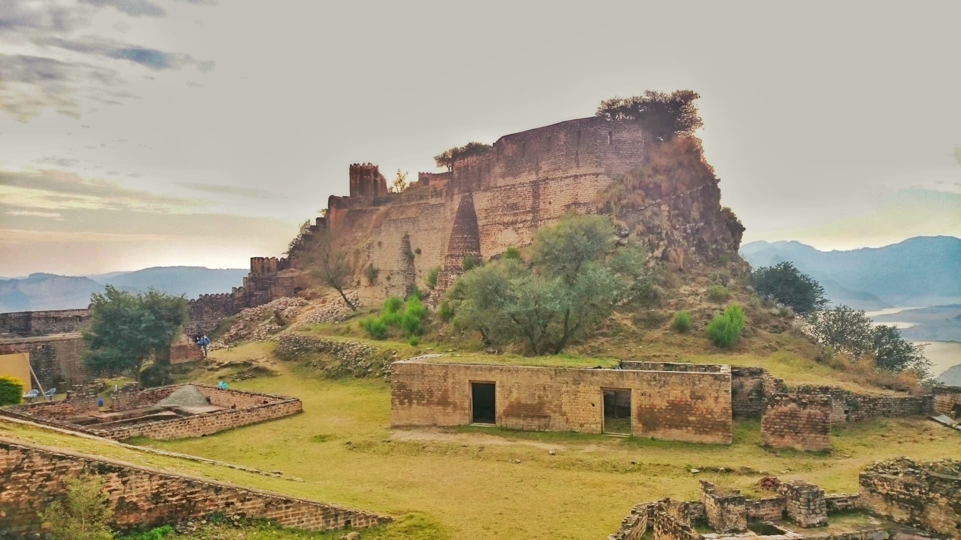
Southern AJK looks and feels different again: Kotli is the base for the natural hot springs at Tattapani and the green, heritage-rich Khoiratta & Banah Valley, while Mangla Lake near Mirpur is best explored by boat out to the dramatic, reservoir-encircled Ramkot Fort. Near Bhimber, the lush Samahni Valley leads to the lake-and-fort combination at Baghsar Lake. Some of these southern and eastern districts include LoC-adjacent areas, so confirm current access locally before travelling.
Orient yourself
The Region on the Map
Place by place
Every Sight in Azad Jammu & Kashmir
Neelum Valley
Ratti Gali Lake
Keran
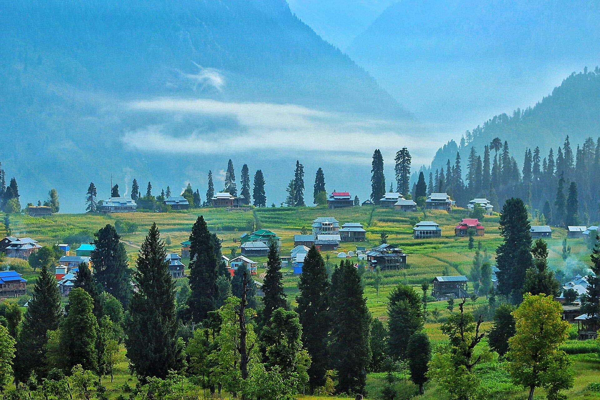
Arang Kel
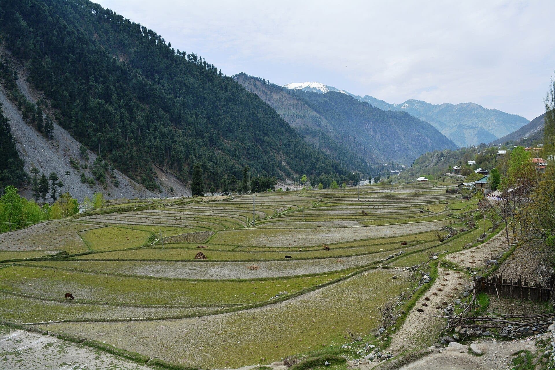
Leepa Valley
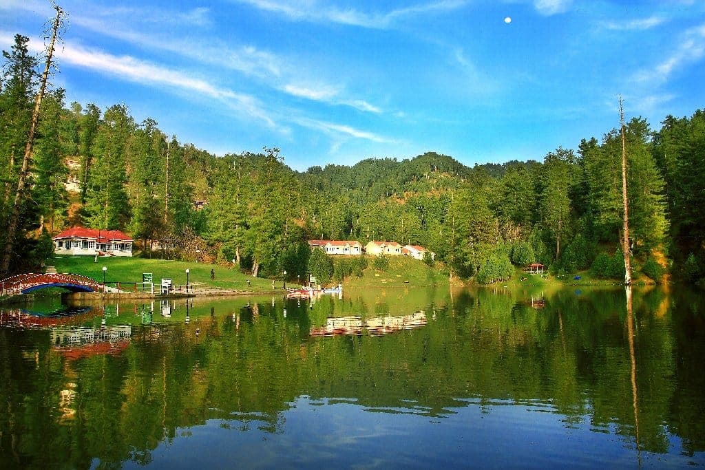
Banjosa Lake
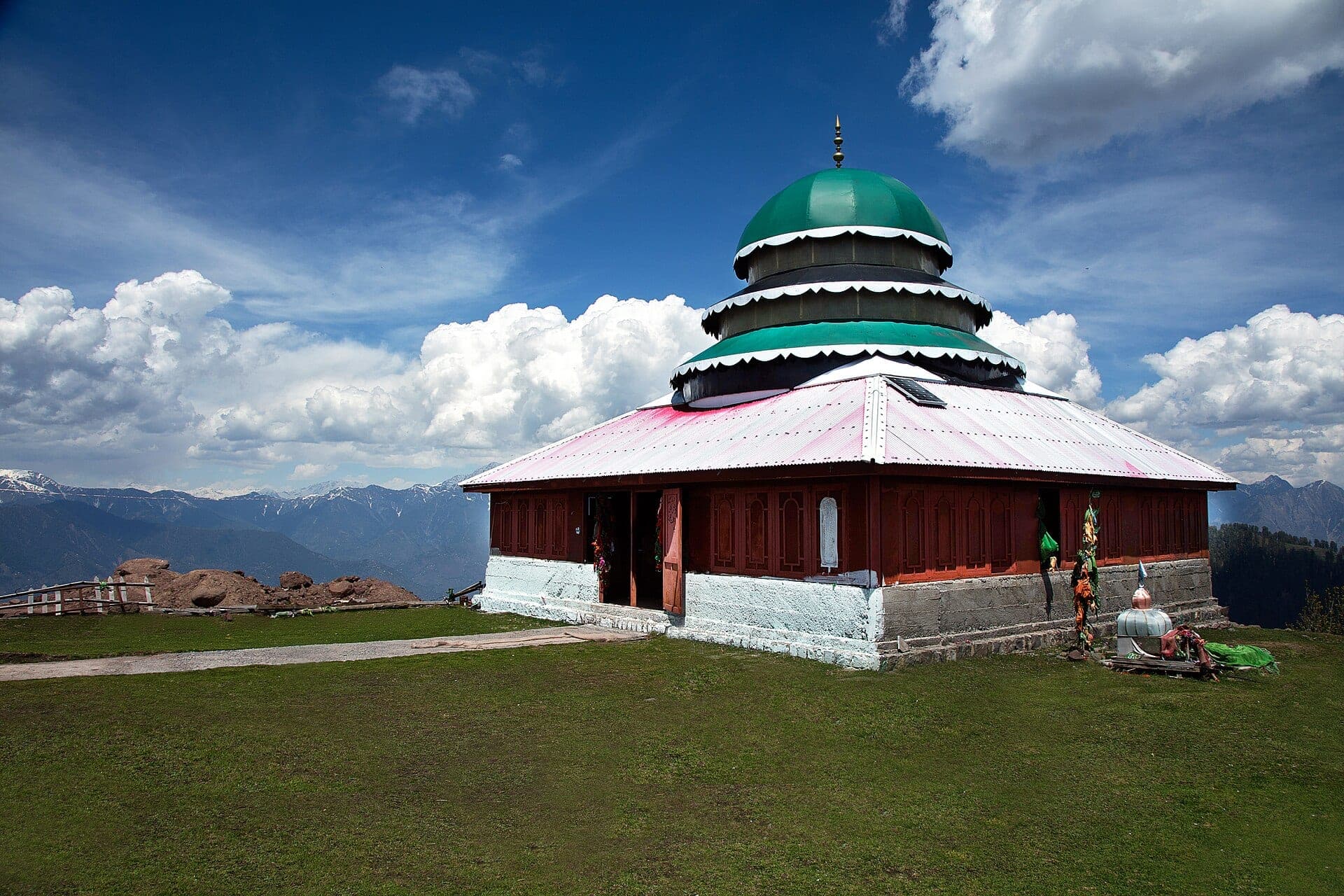
Pir Chinasi
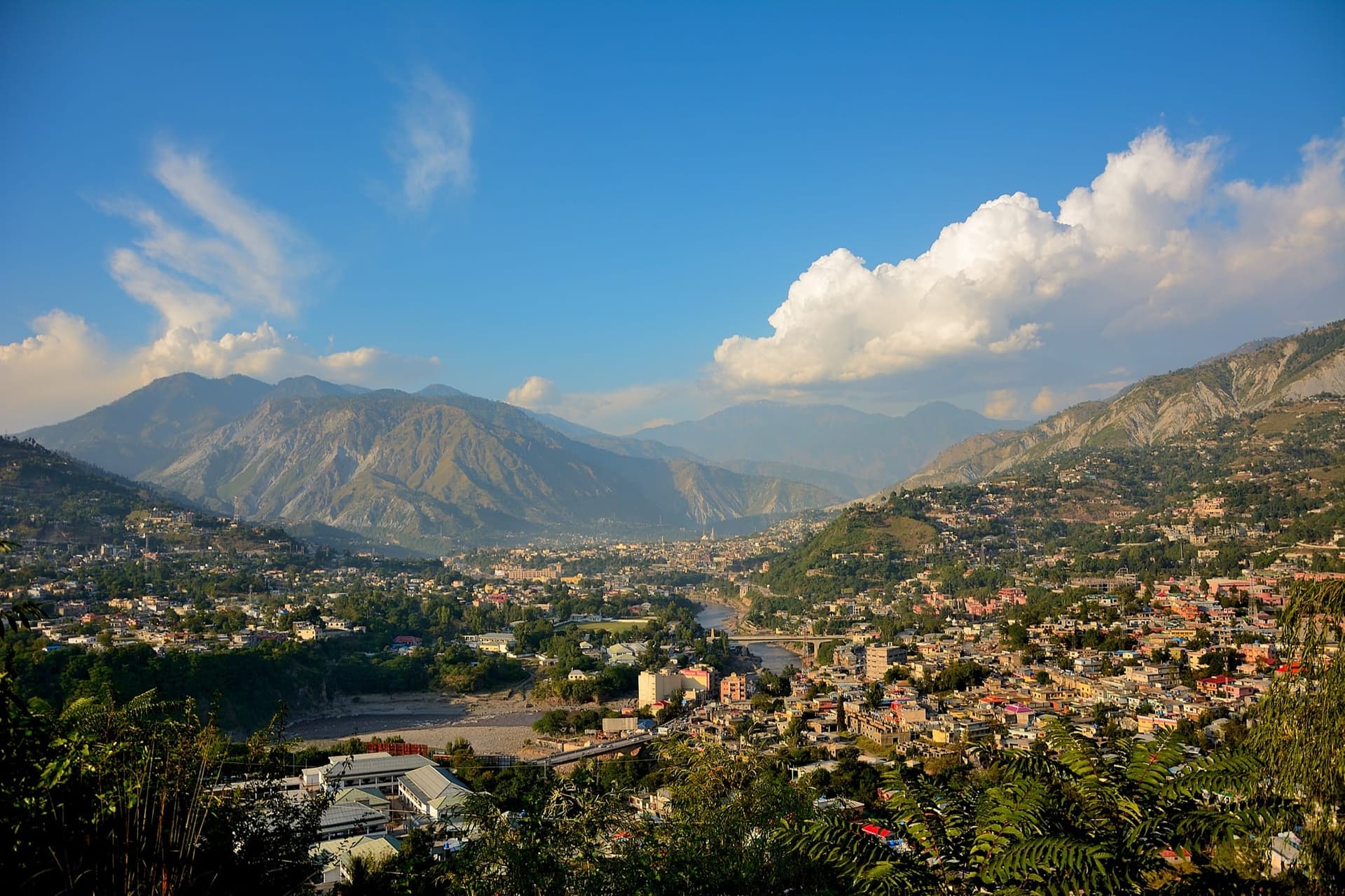
Muzaffarabad
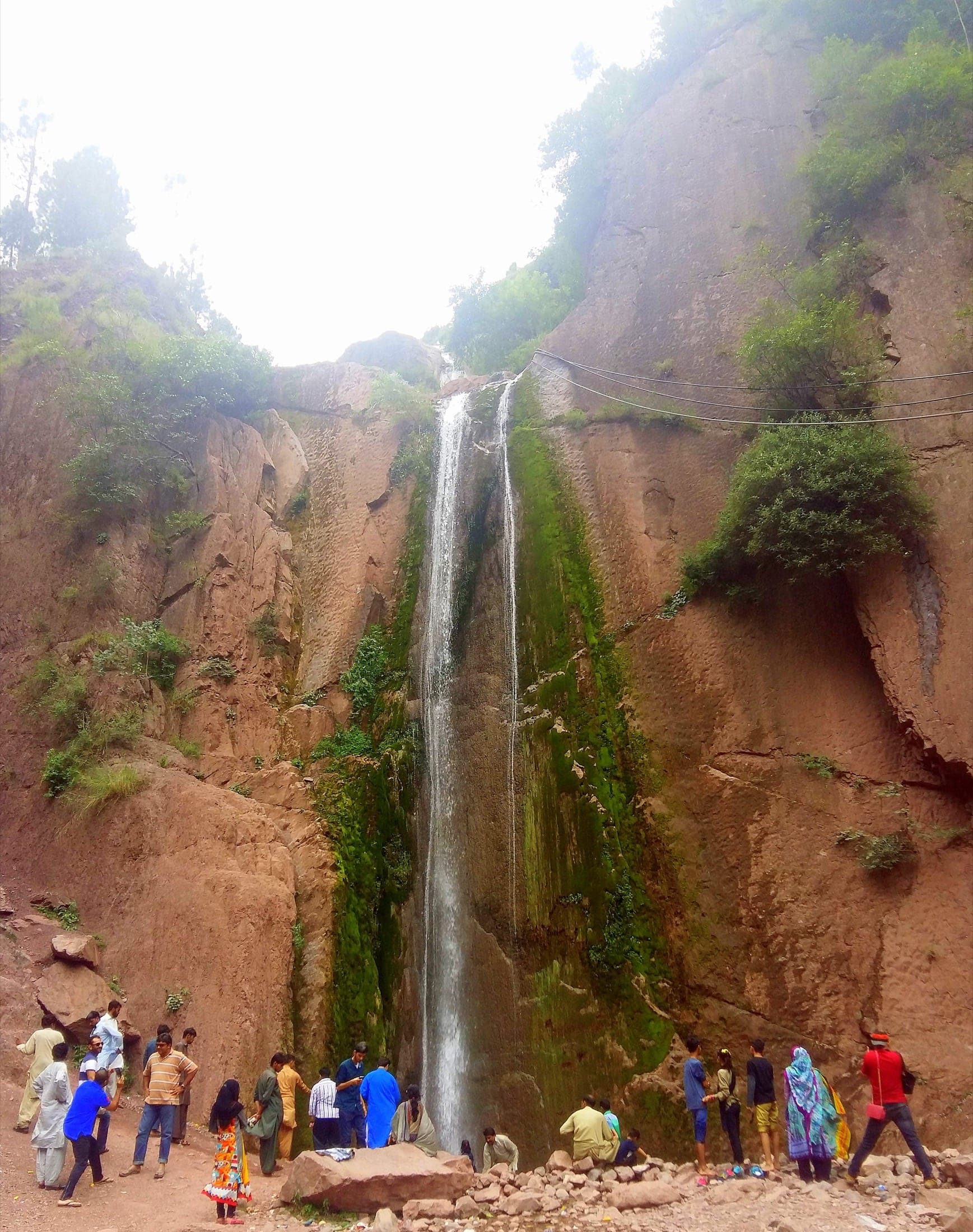
Dhani Waterfall
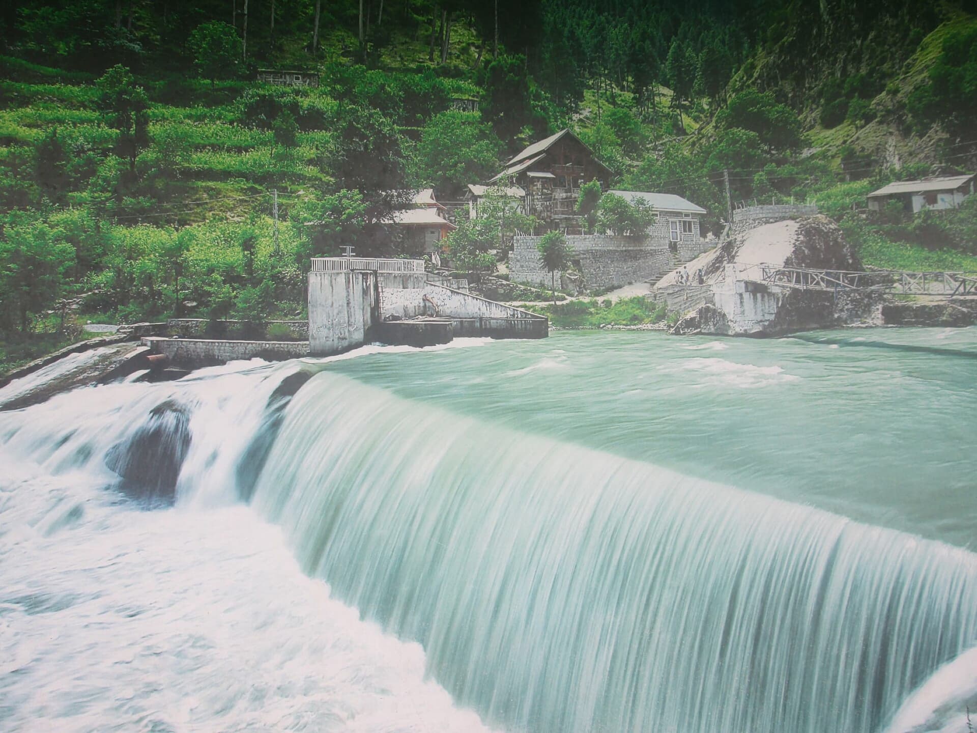
Kutton Waterfall
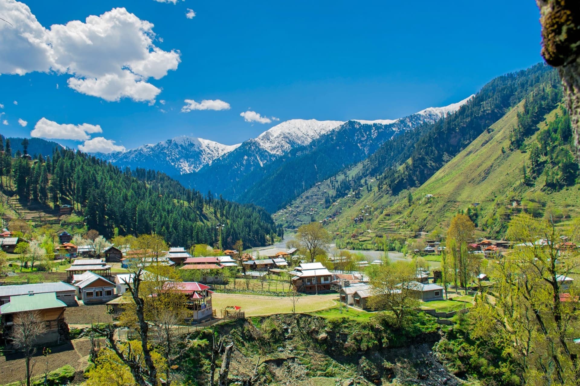
Sharda
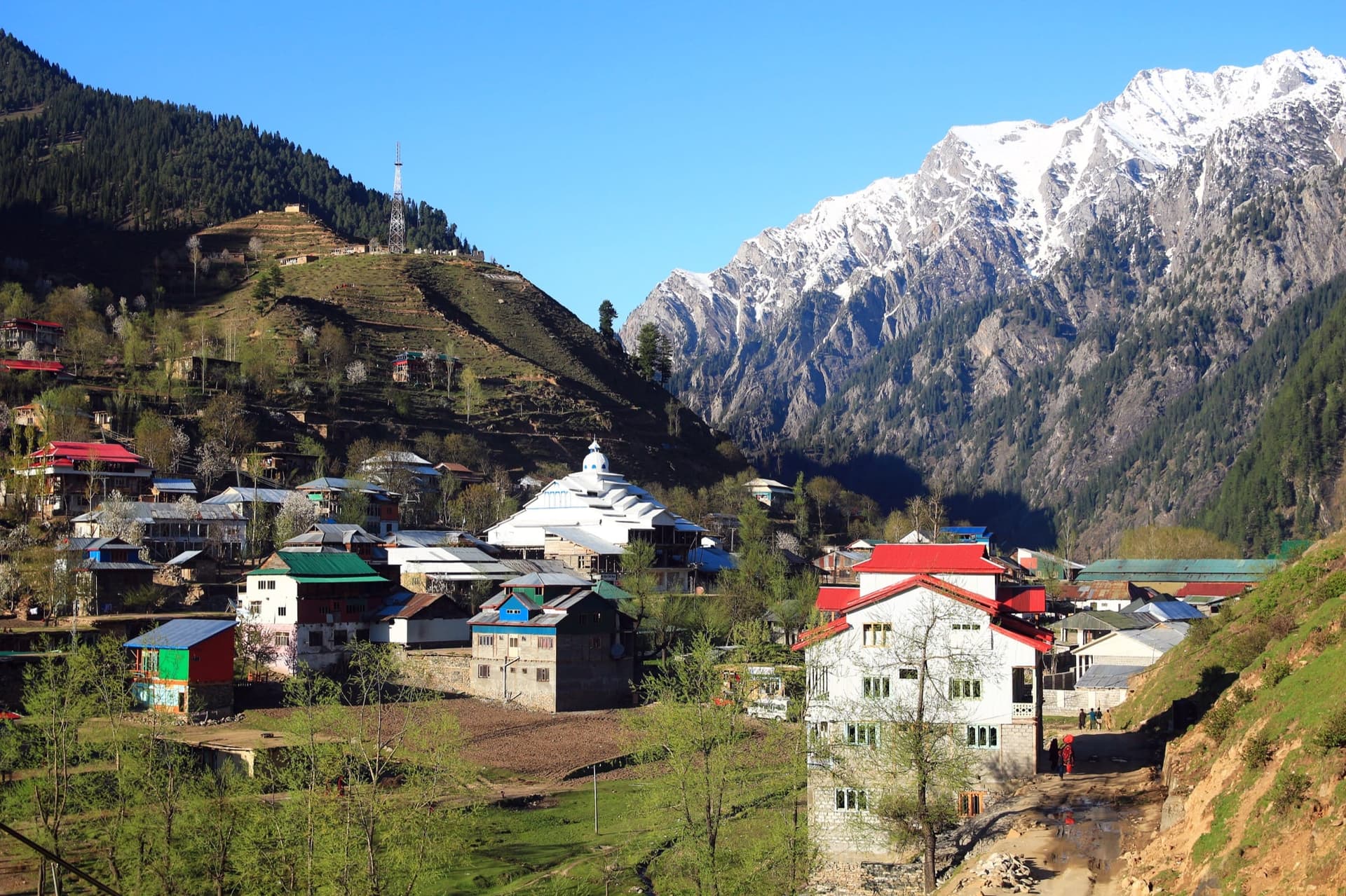
Kel
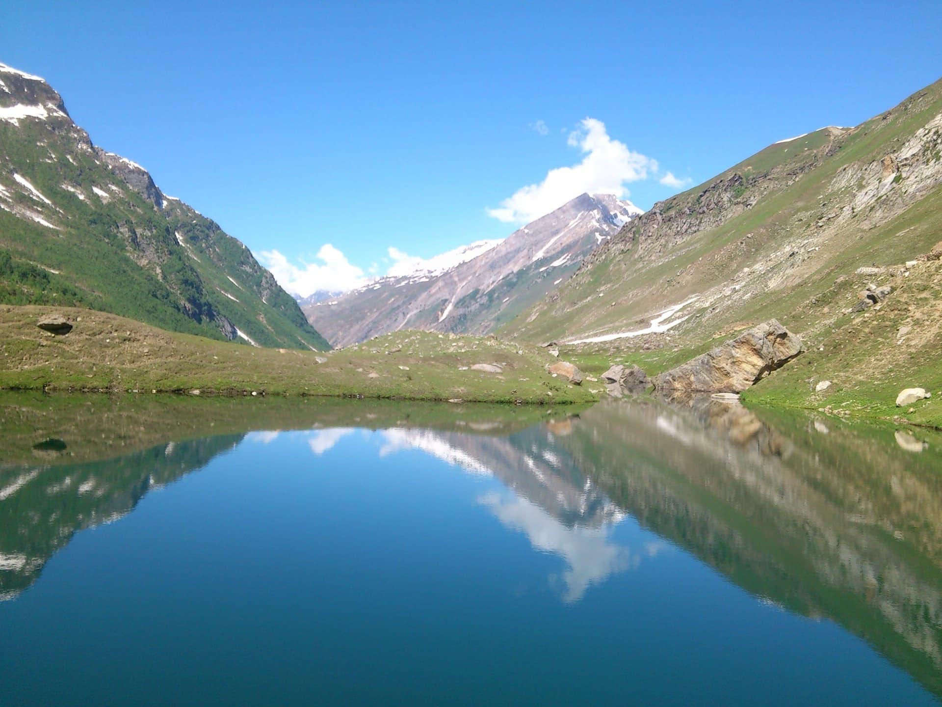
Shounter Valley
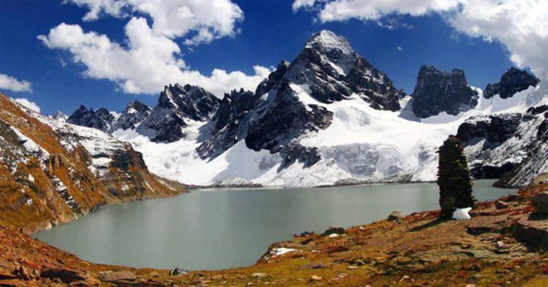
Chitta Katha Lake
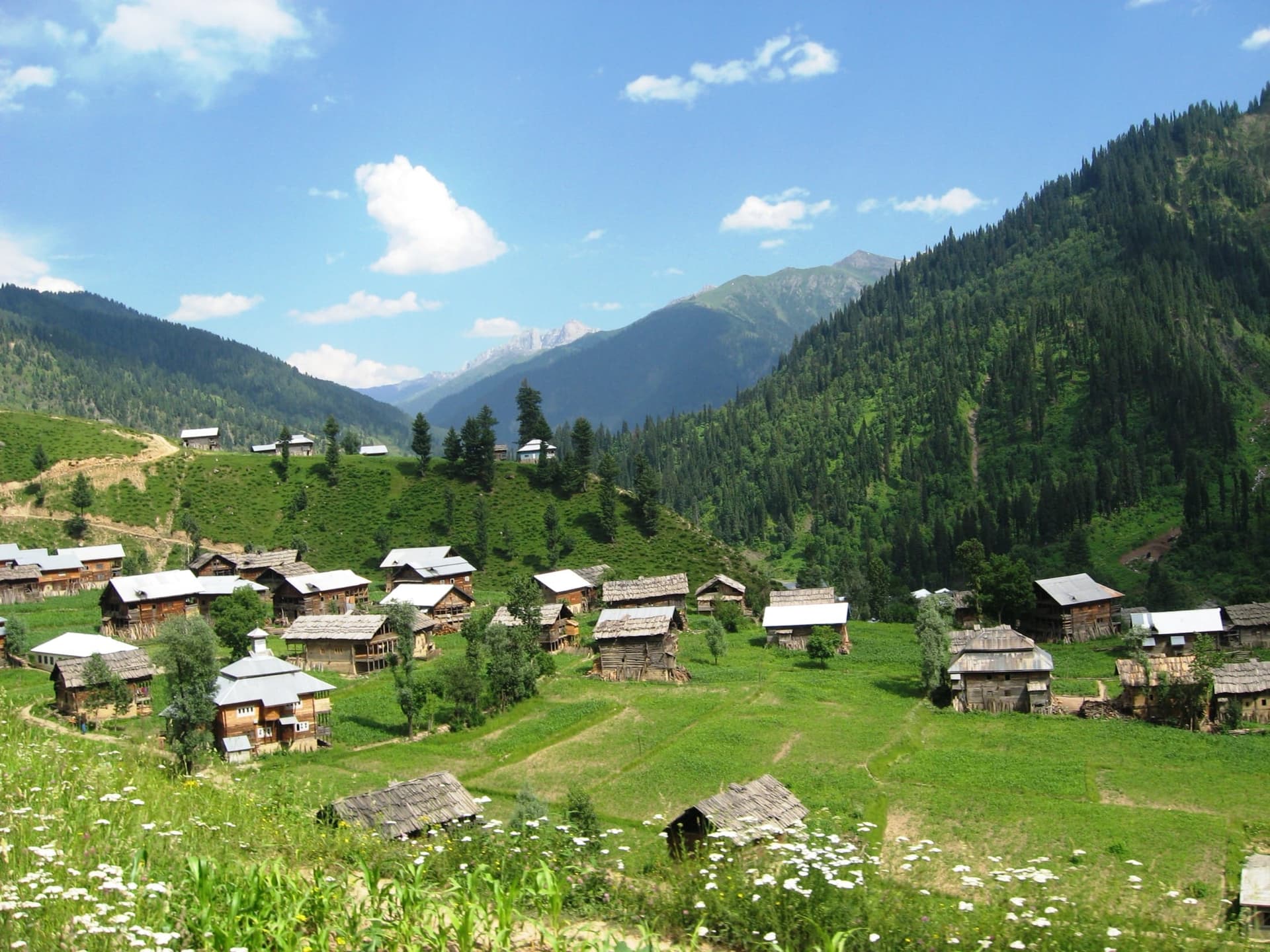
Taobat

Red Fort (Muzaffarabad Fort)
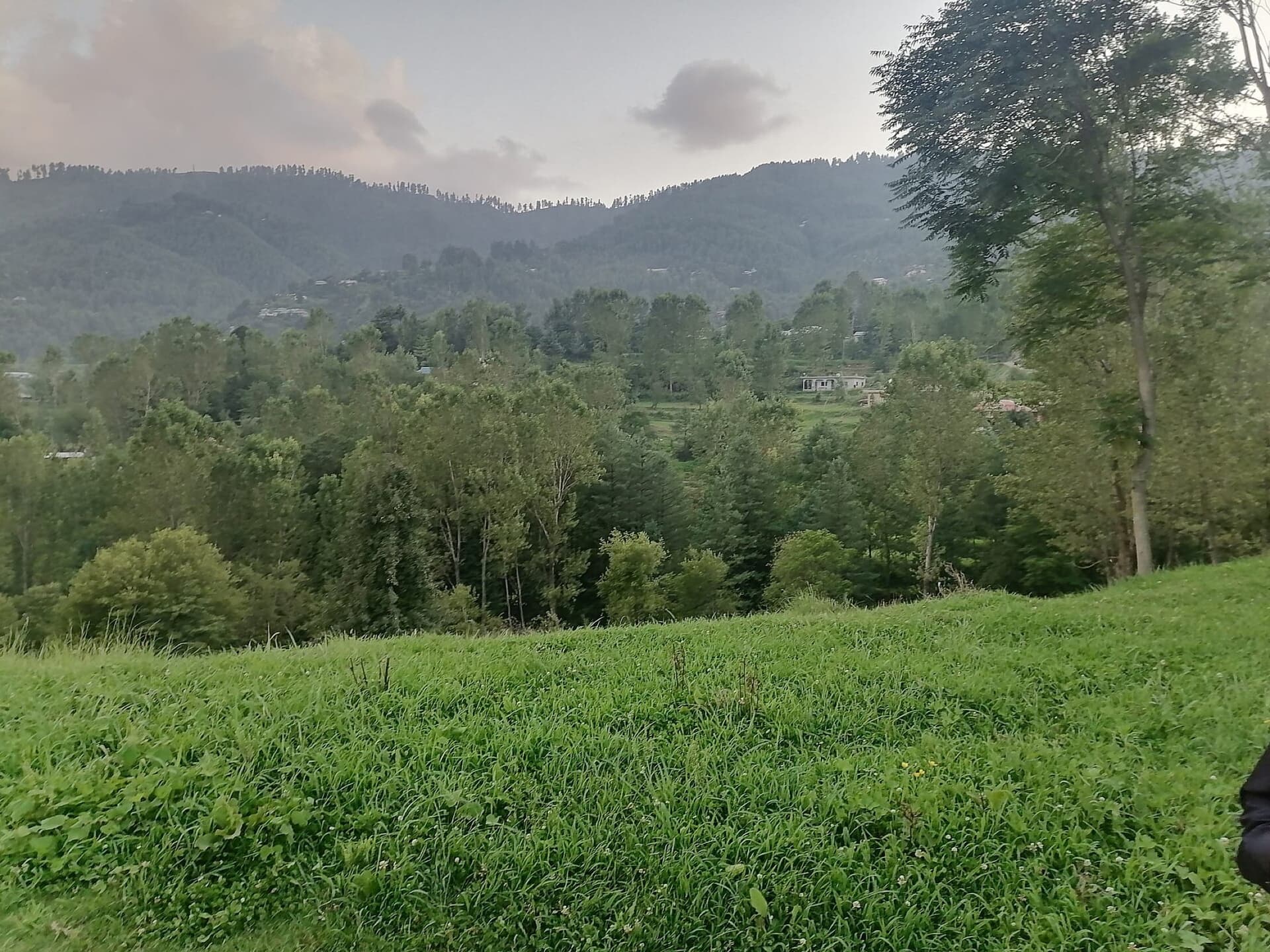
Chikar

Zalzal Lake
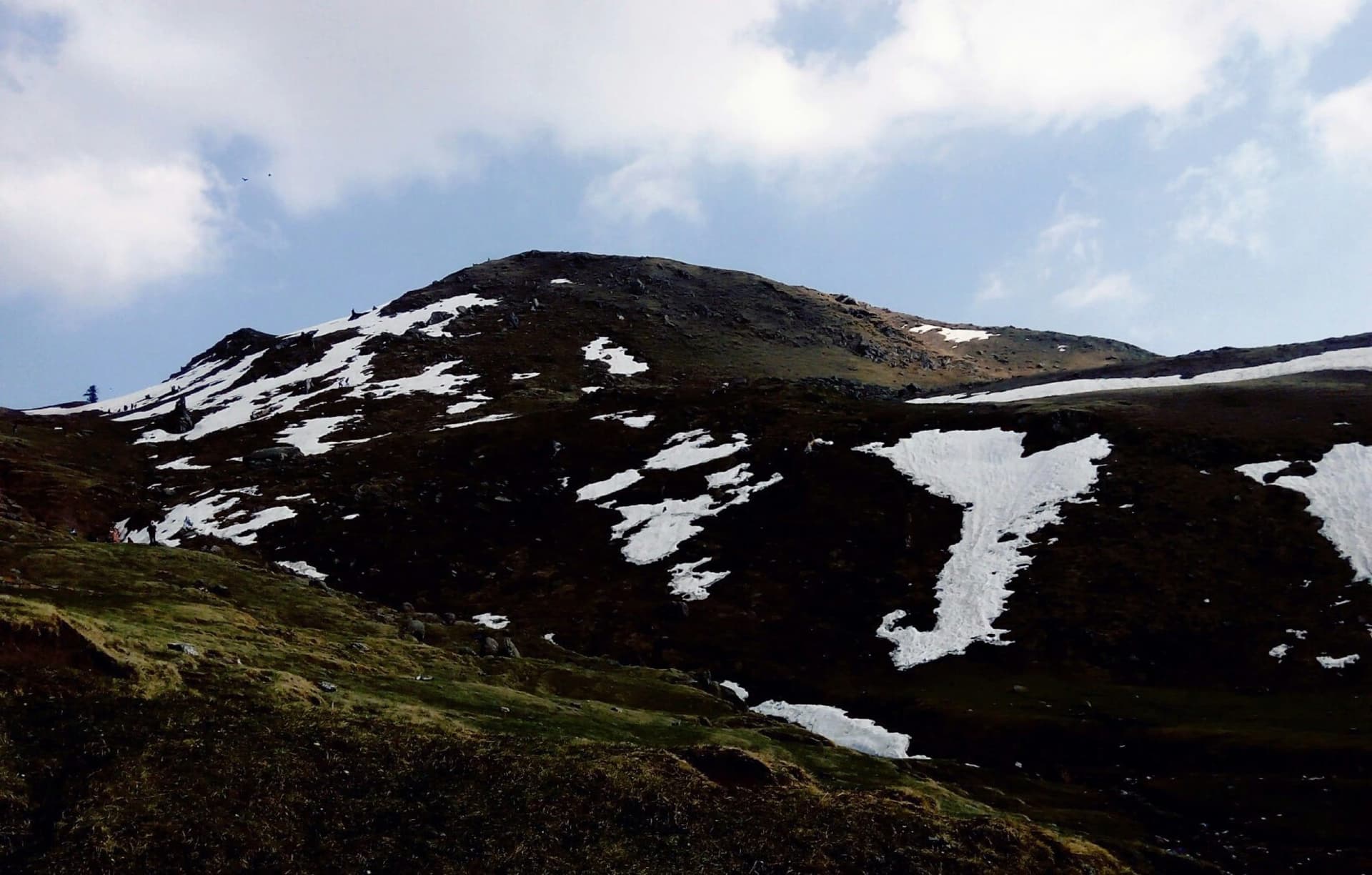
Ganga Choti
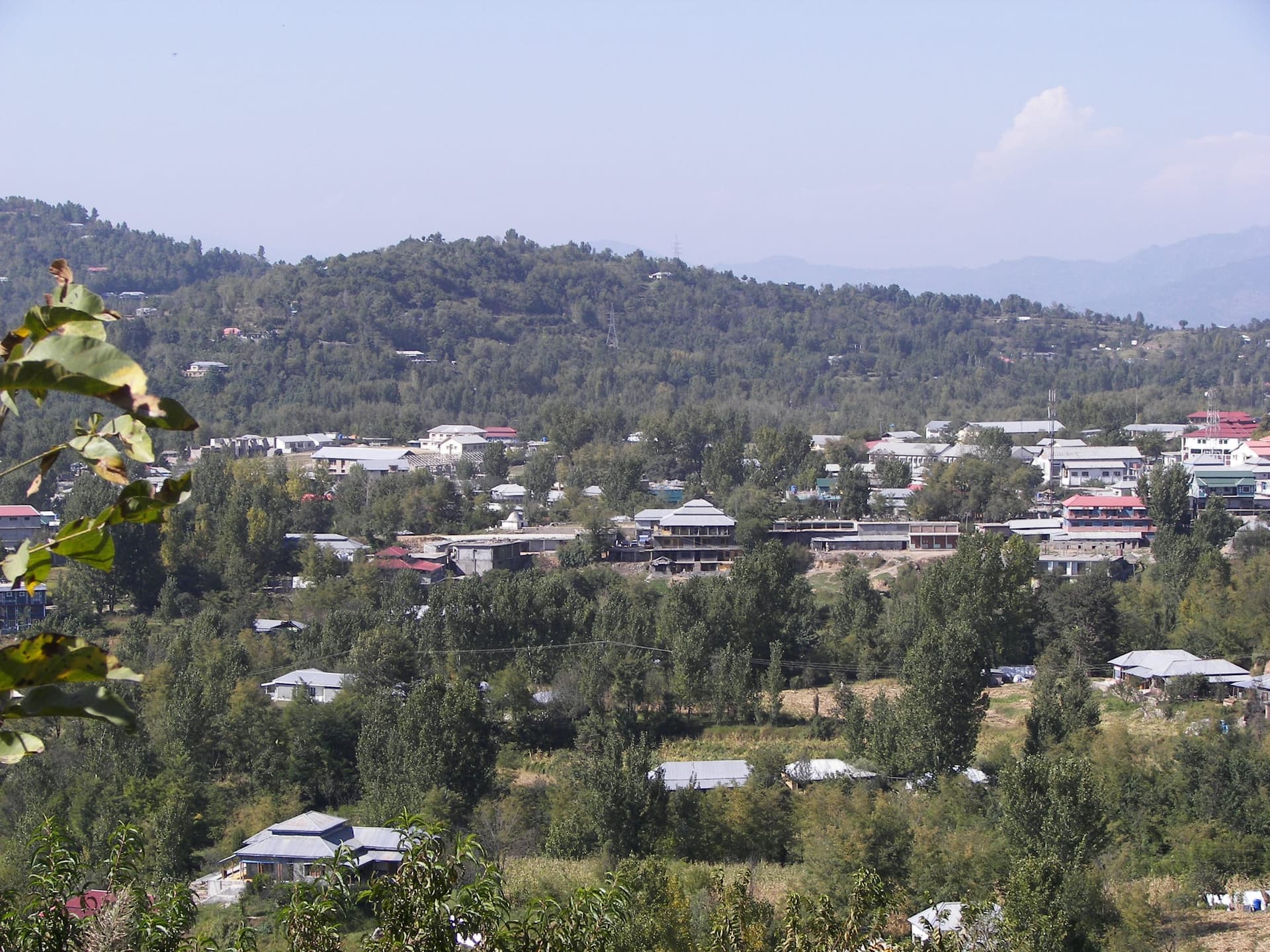
Rawalakot
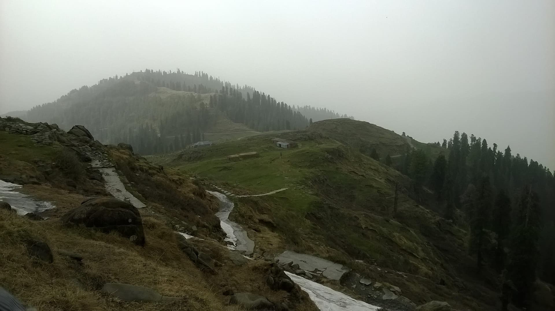
Toli Pir
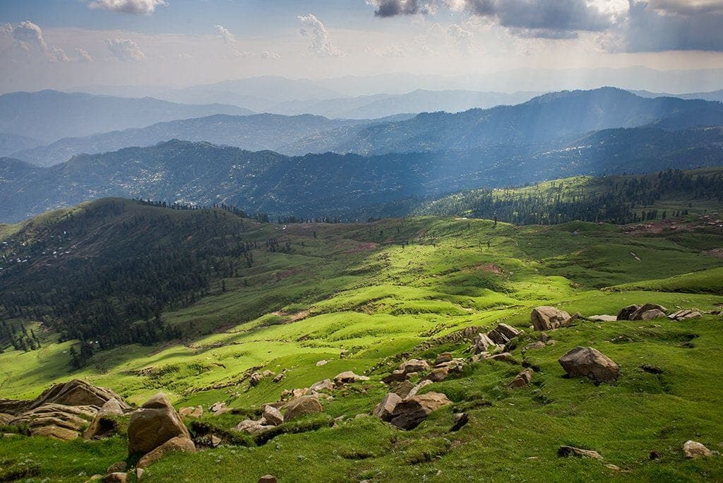
Sudhan Gali
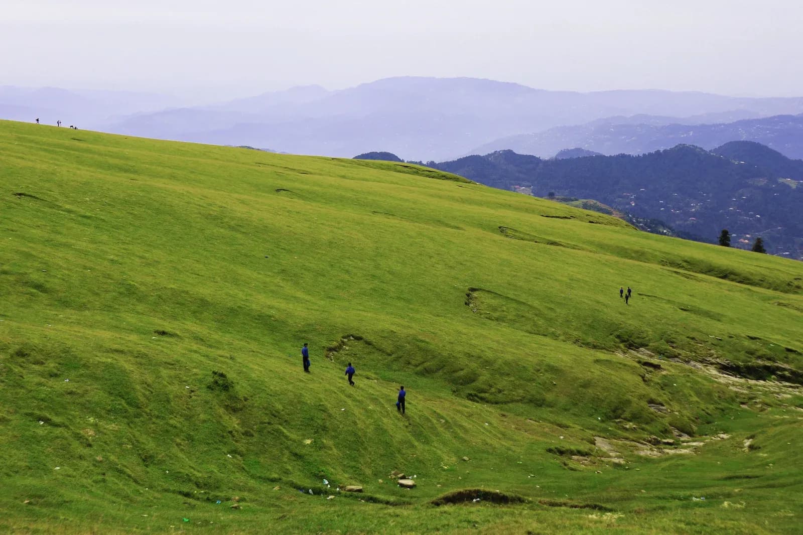
Dheer Kot (Dhirkot)
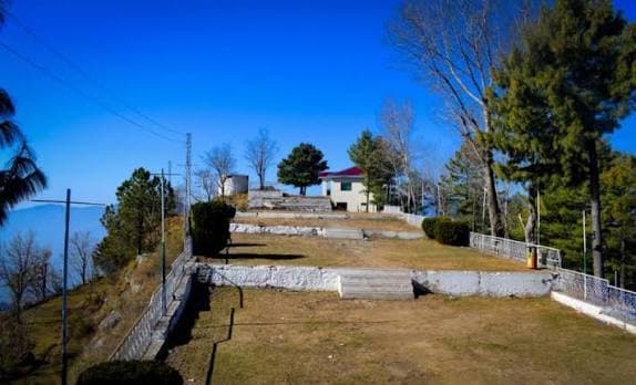
Neela Butt
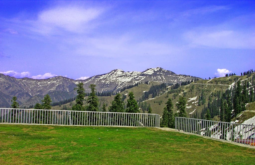
Las Danna
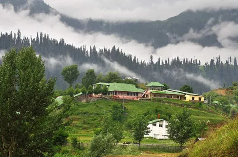
Jhelum Valley
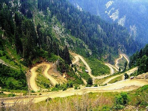
Reshian
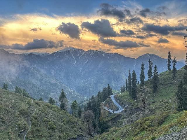
Dao Khan
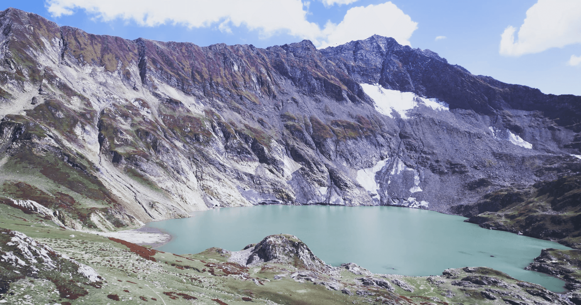
Patlian Lake
Haveli & Forward Kahuta
Bedori Peak
Pallandri
Tattapani
Kotli
Khoiratta & Banah Valley
Mangla Lake
Ramkot Fort
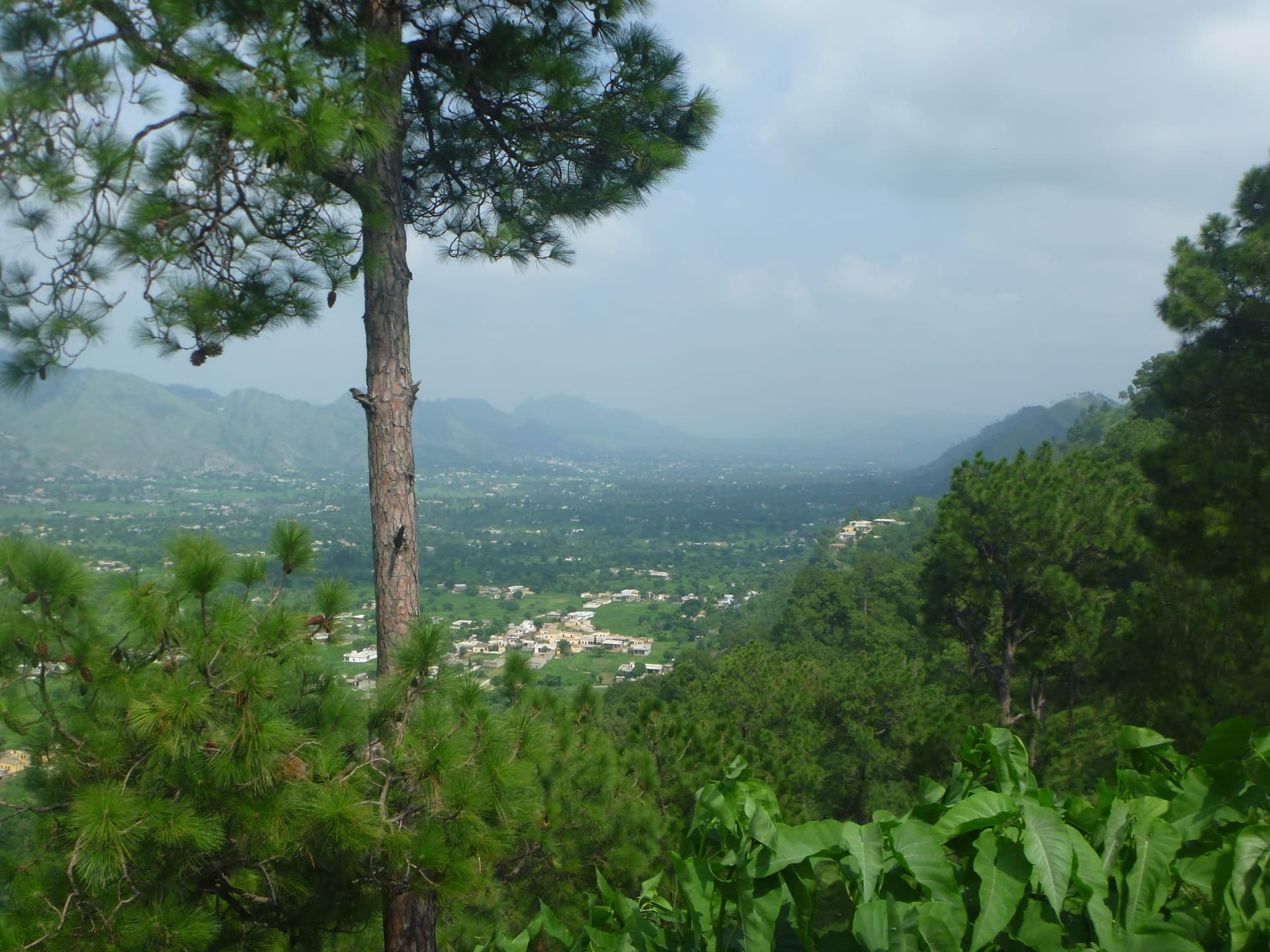
Samahni Valley
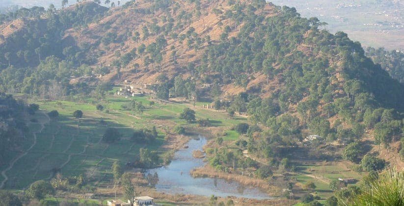
Baghsar Lake & Fort
A suggested route
Neelum Valley · 7 Days
One valley system, several nights, paced for mountain roads and river light.
Stop 1 of 6 · Day 1
Islamabad to Muzaffarabad
Day 1
Islamabad to Muzaffarabad
Murree ridge descent to the confluence city at Domel, where the Neelum meets the Jhelum, briefing and an evening river walk.
Day 2
Pir Chinasi
A half-day up to the hilltop shrine at roughly 2,900m for views back over Muzaffarabad, then down to the valley road.
Days 3-4
Keran & Upper Neelum
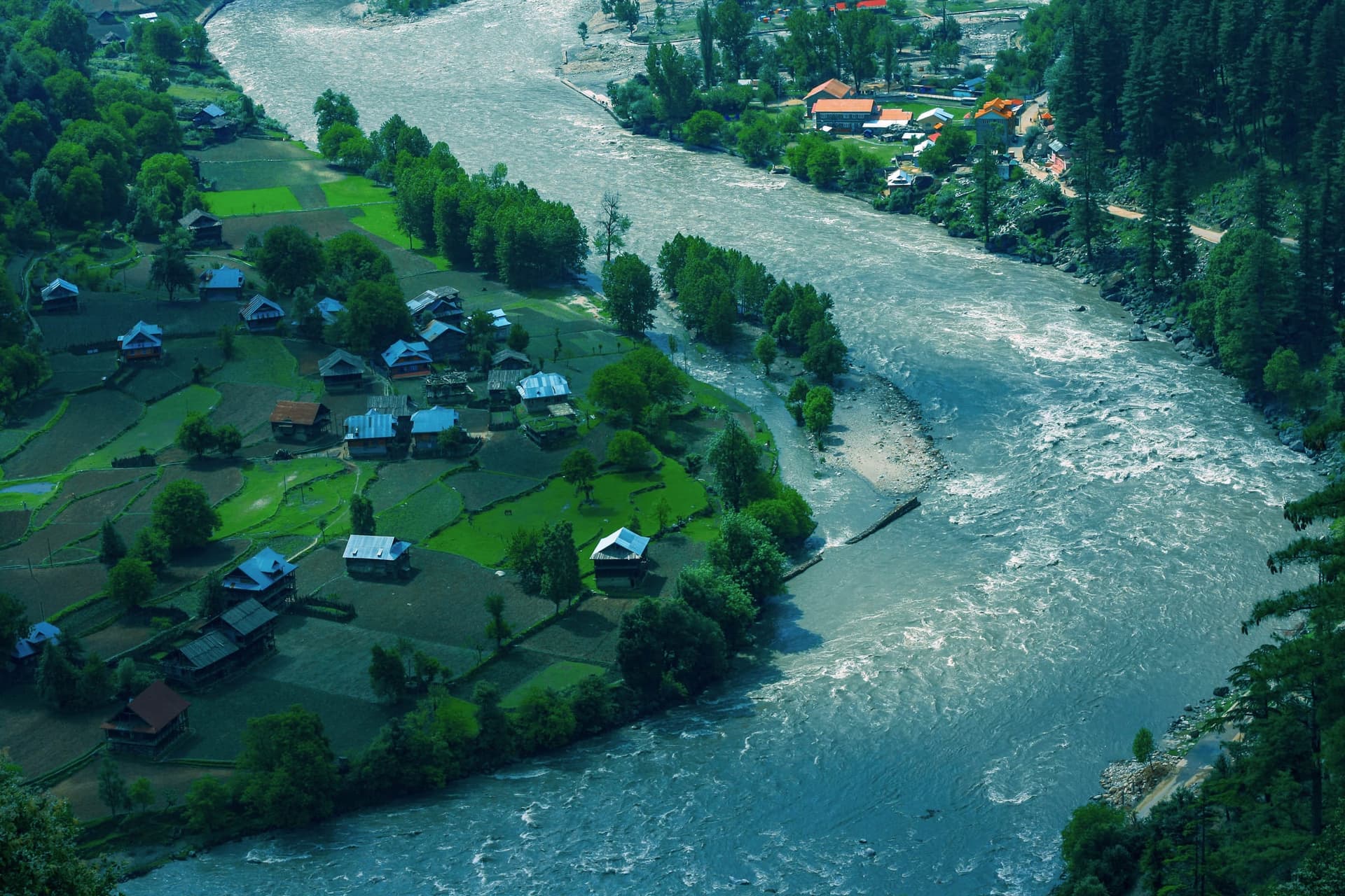
Two nights riverside along the Neelum road, terrace walks, trout lunch, and villages looking across the water to the other side.
Day 5
Sharda & Taobat
Further up the valley toward the road's end, heritage ruins at Sharda and a quiet afternoon at Taobat, the last village before the high passes.
Day 6
Ratti Gali attempt
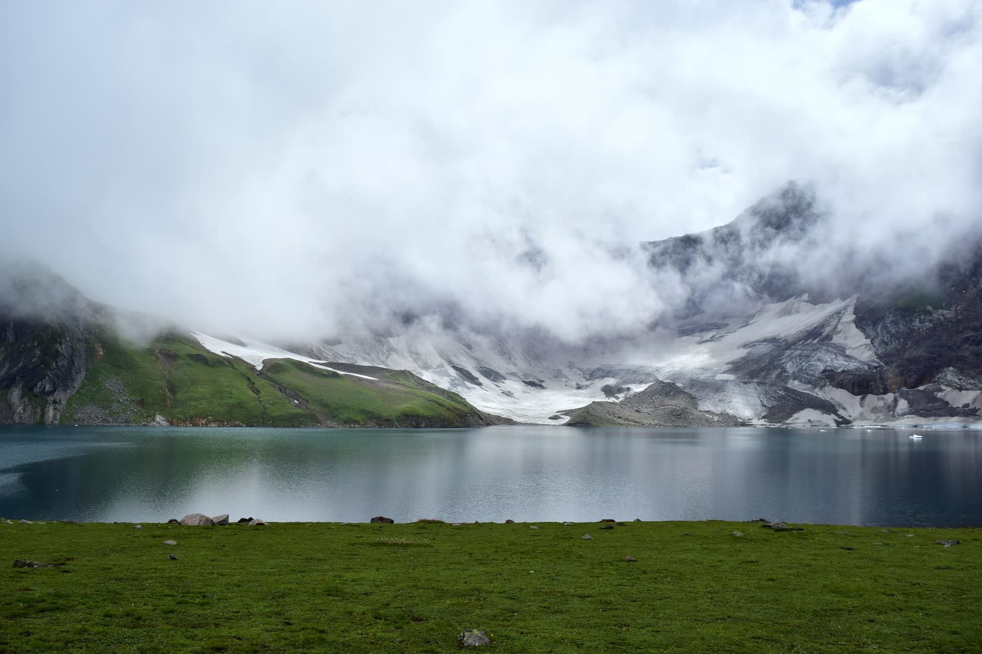
Jeep to Dowarian and the walk up to the lake at roughly 3,700m, a full day, weather and season dependent.
Day 7
Return to Islamabad
Descent via Muzaffarabad and Murree with a buffer built in for road delays.
Timing
When to Go
Valley roads reopening from late April; blossom on the terraces at Leepa and lower Neelum. Ratti Gali and the high passes still snow-bound.
Ratti Gali, Leepa, and the full Neelum road all open, the busiest and most reliable window of the year.
Clear skies and turning forest through October; Leepa and Ratti Gali close for the season by November.
Leepa and the high Neelum cut off by snow; Muzaffarabad and lower valley towns workable for hardy travellers.
Through the year
Festivals & Events
Eat & culture
Valley Kitchens
River trout, maize bread, and honey from hillside apiaries. Keran, Sharda, and Leepa villages cook what the season gives, ask what's fresh that week.
Good to know
Getting Around & Practicalities
Getting There
Drive from Islamabad via Murree to Muzaffarabad, then on into Neelum Valley. Keran, Sharda, and Ratti Gali each add hours on mountain roads; Leepa Valley is reached by a separate route south of Muzaffarabad and is open to visitors roughly late April to November.
Pacing matters
Plan multi-night stays in one valley rather than daily moves. Mountain roads are slower than the map suggests, and weather can close the Ratti Gali jeep track or the Leepa passes without much warning.
Local operators
GreenPak stays are limited in AJK, we advise on guesthouses and licensed guides for the Ratti Gali trek and Neelum valley routes, and confirm current road and access conditions before you travel.
Geology & tectonics
AJK's mountains aren't one range but three: the low Sub-Himalayan Siwalik hills around Mirpur, Kotli, and Bhimber; the Pir Panjal range of the Lesser Himalayas through Poonch, Bagh, Rawalakot, and southern Muzaffarabad; and the Greater Himalayas proper in the upper Neelum Valley toward Gilgit-Baltistan. Muzaffarabad itself sits at the Hazara-Kashmir Syntaxis, the sharp bend where the Main Central Thrust and Main Boundary Thrust curve the whole system together, which is part of why the region's earthquake history runs as deep as its scenery.
Journeys Here
Journey finder →Stories from Azad Jammu & Kashmir
Read the journal →
Before you ask
Common Questions
At least three nights in one stretch, Keran, Sharda, or Taobat, rather than daily moves. Mountain roads take longer than distances on a map suggest, and slower travel means more time by the river.
No, the jeep track and trek from Dowarian are typically only clear from June to September. The lake sits at roughly 3,700m and stays snow-bound outside summer. Confirm with our team before booking fixed dates.
Leepa is generally open in the warmer months, roughly late April through November, and closes with the first heavy snow. Check current access with our team, as some border-proximate routes can have additional requirements.
May-September for the full valley network and Ratti Gali. April and October work well for Muzaffarabad, Pir Chinasi, and lower Neelum if you don't need the high lake or Leepa.
Plan an Azad Jammu and Kashmir Escape
Tell us how long you have, we'll keep the route in one valley and out of a rush.