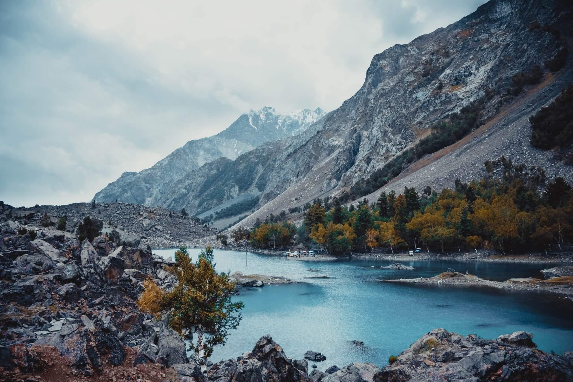
Area guides / Gilgit-Baltistan / Fairy Meadows & Nanga Parbat
Area guide
Fairy Meadows & Nanga Parbat
A high meadow beneath the ninth-highest mountain on Earth
Region
Gilgit-Baltistan
When to go
May to September. Snow can linger on the trail early in the season, and the jeep track and camps close in winter.
Getting there
From the Karakoram Highway at Raikot Bridge, a local jeep climbs the narrow cliff track to Tato (about an hour), then a 3-4 hour walk up to the meadows. The Astore road leads east to Rama Lake.
Spots
3 key places
Overview
About Fairy Meadows & Nanga Parbat
Fairy Meadows is an alpine grassland at about 3,300 m in Diamer District, directly beneath the Rakhiot face of Nanga Parbat (8,126 m), the western anchor of the Himalaya. Declared a national park in 1995, it has been part of Nanga Parbat National Park since 2021.
From the Karakoram Highway at Raikot Bridge, a local jeep climbs the narrow cliff track to Tato (about an hour), then a 3-4 hour walk up to the meadows. The Astore road leads east to Rama Lake.
The walk in
There is no road to the meadows: the last stretch is on foot from Tato, after a jeep ride up one of the most exposed tracks in the north. Arrange the jeep locally and travel light.
Beyond the meadows
Fairy Meadows is the launching point for climbers on the Rakhiot face, and trekkers continue toward the base camp viewpoints. On the Astore side of the massif, Rama Lake is reached by road from the Astore turn-off on the Karakoram Highway.
Field Guides
All places →Fairy Meadows
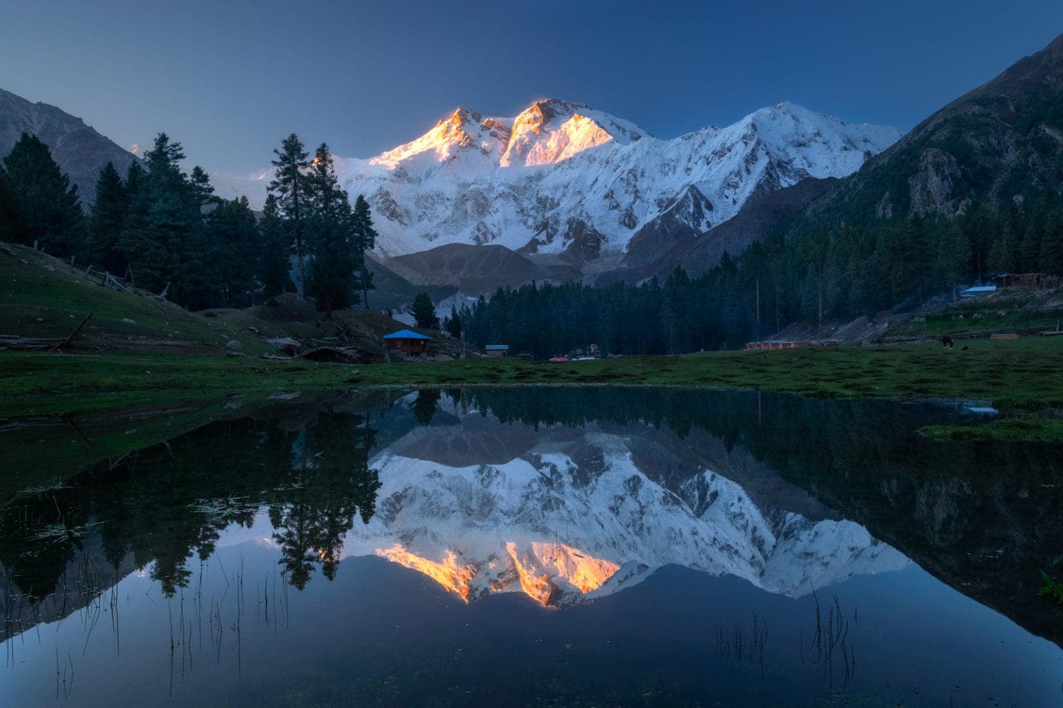
Fairy Meadows is a high alpine grassland of wildflowers and pine, perched at around 3,300 m directly beneath the ice wall of Nanga Parbat, and one of the most beloved short treks in Pakistan. Named 'Märchenwiese' (fairy-tale meadow) by German climbers, it offers the rare combination of an easy approach and a genuinely world-class mountain view: the 8,126 m summit fills the southern sky, close enough to watch avalanches peel off its flanks. It is a designated national park and the launch point for the walk to Beyal Camp and Nanga Parbat Base Camp.
Nanga Parbat
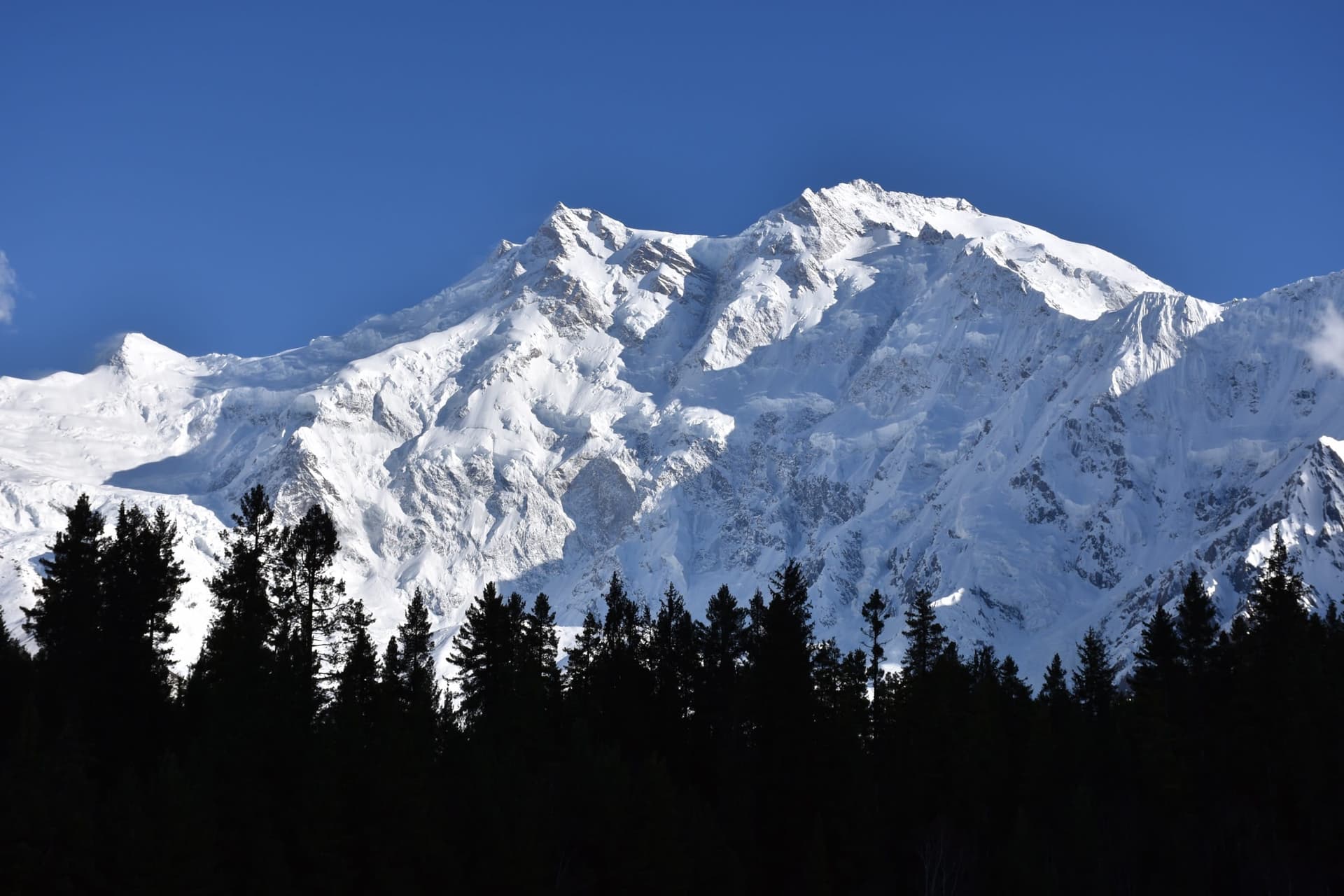
Nanga Parbat is the ninth-highest mountain on Earth at 8,126 m and the western anchor of the entire Himalayan range, the point where the Himalaya finally give out above the Indus. Its nickname, the 'Killer Mountain', was earned in the 1930s when a series of German expeditions cost dozens of lives before the first ascent in 1953. The peak presents two utterly different faces to travellers: the gentle pine meadows of Fairy Meadows on the north (Raikot) side, and the colossal Rupal Face on the south, at around 4,600 m the highest mountain wall on the planet.
Rama Lake
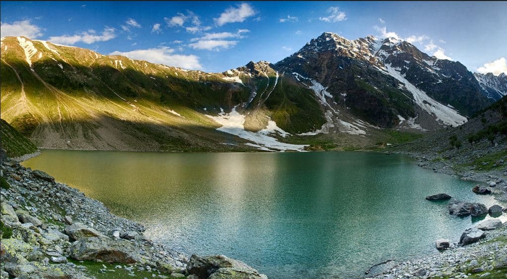
Rama Lake is a lake or wetland destination in Astore, Gilgit-Baltistan, where water, mountain or lowland scenery and seasonal conditions shape the experience. It is best visited unhurriedly, with time for the shoreline or viewpoint and for changing light and weather.
Resorts
All resorts →GreenPak stays in this area are listed on the region guide.