 Photo: GB Tourism
Field guides / Diamer Division / Fairy Meadows & Nanga Parbat / Burzil Pass
Field guide · Nature
Diamer Division
Astore District · Gilgit-Baltistan, Pakistan
Burzil Pass
A 13,808 ft pass on the old caravan route from Gilgit to Srinagar, and the source of the Astore River.
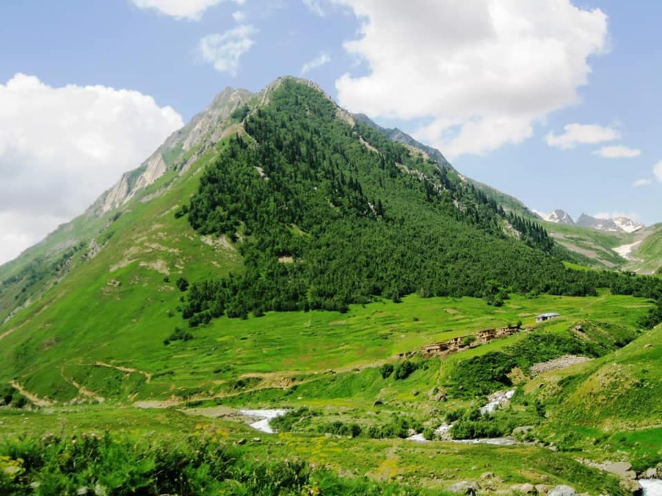
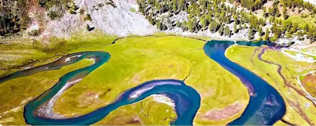
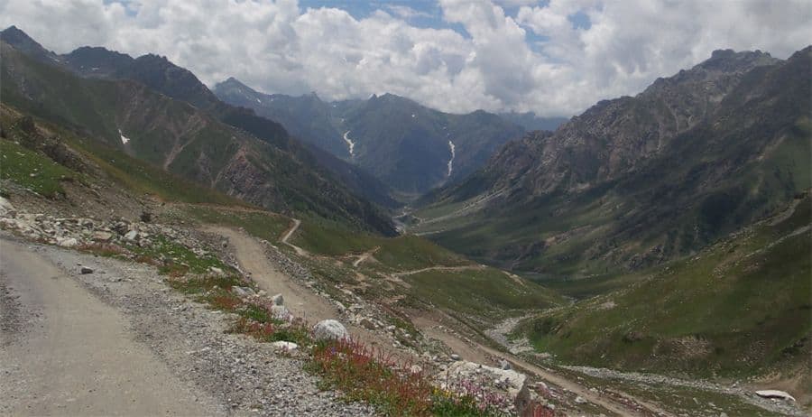
The Burzil Pass, at 13,808 ft, was part of the old caravan route between Srinagar and Gilgit. The Astore River rises on its western slopes, and in summer its broad top is green with alpine grass.
Why go
- ✦The old Srinagar–Gilgit caravan route
- ✦The source of the Astore River
- ✦Green alpine grass at the top in summer
- ✦Link towards the Deosai Plateau
About
It is thought to be the oldest known route linking Gilgit with Skardu and Srinagar by way of the Deosai Plateau, used for centuries by travellers on horseback. In the early 20th century a hut at the top served as a relay post for the mail carried between British India and China. After the First Kashmir War most of the route was closed, and the pass now lies about 5 km north of the line between Gilgit-Baltistan and Azad Kashmir and about 30 km north of the Line of Control.
History
Under British rule the Burzil route allowed free passage through Jammu and Kashmir, and by the early 1900s a hut at the crest served as a relay point for couriers carrying mail between British India and China. After the First Kashmir War much of the route was closed, fixing the ceasefire line that divided the former princely state.
How to Reach
Up the Astore valley from Astore town towards the head of the Astore River; close to the Line of Control, so check locally before going.
Responsible Travel
Use Leave No Trace principles, carry out all rubbish, avoid disturbing wildlife and livestock, and respect private/community land.
Planning tip
Best Time to Visit, July to September.
Getting there, Up the Astore valley from Astore town towards the head of the Astore River; close to the Line of Control, so check locally before going.
Allow, A full day from Astore.
What to Do
Nearby
Straight-line distance from Burzil Pass, within 5 km.
Nothing else genuinely close by (within 5 km of Burzil Pass) is published yet.