
Field guides / Khyber Pakhtunkhwa / Chitral / Mastuj
Field guide · Nature
Chitral Upper
Chitral Upper District · Khyber Pakhtunkhwa, Pakistan
Mastuj
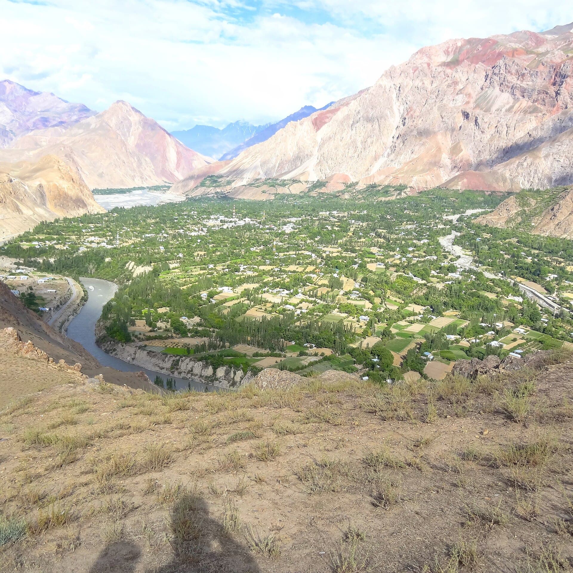
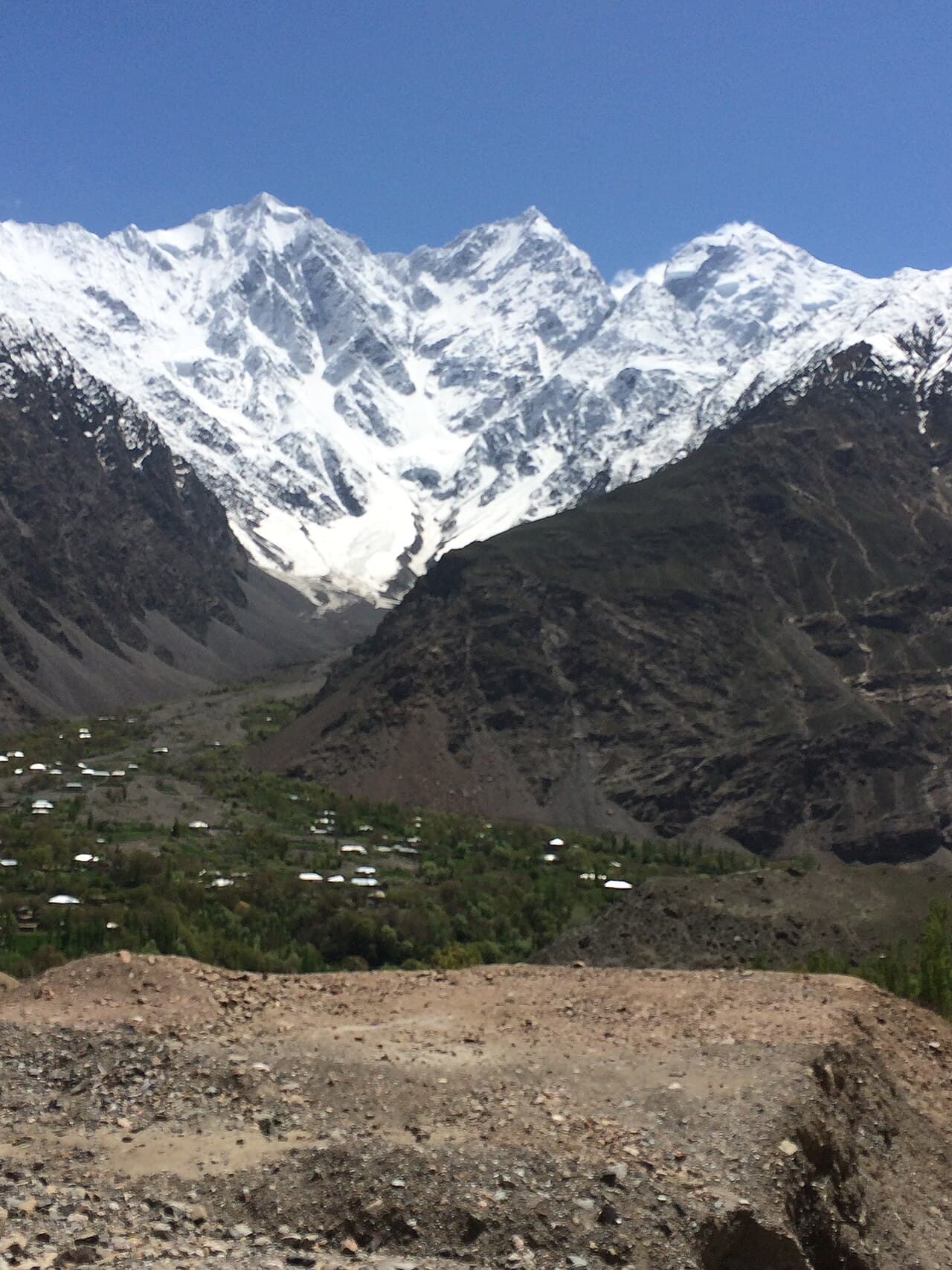
The main settlement of upper Chitral at 2,359 m, with the ruins of an 18th-century fort.
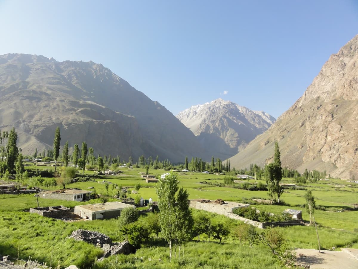
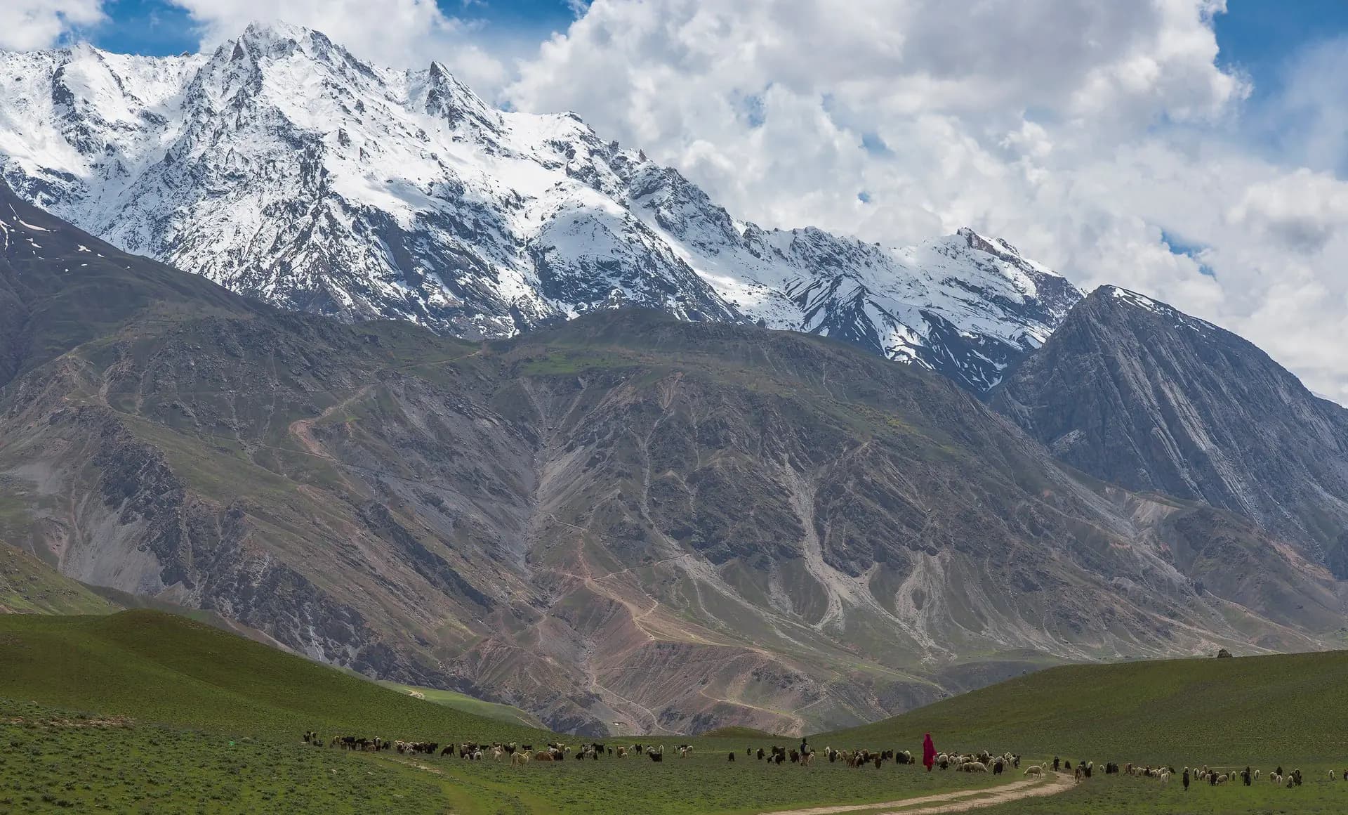
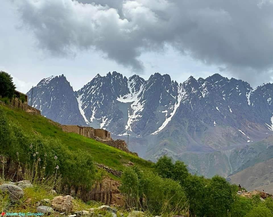
Mastuj, at about 2,359 m, is the main settlement of a tehsil and valley in Upper Chitral District. Its old fort, first built in the 18th century and rebuilt several times, stands in ruins.
Why go
- ✦The ruined Mastuj fort
- ✦A crossroads of upper Chitral
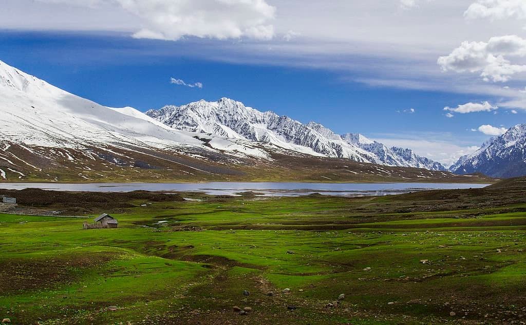
- ✦On the way to Shandur
- ✦Villages such as Buni and Brep
About
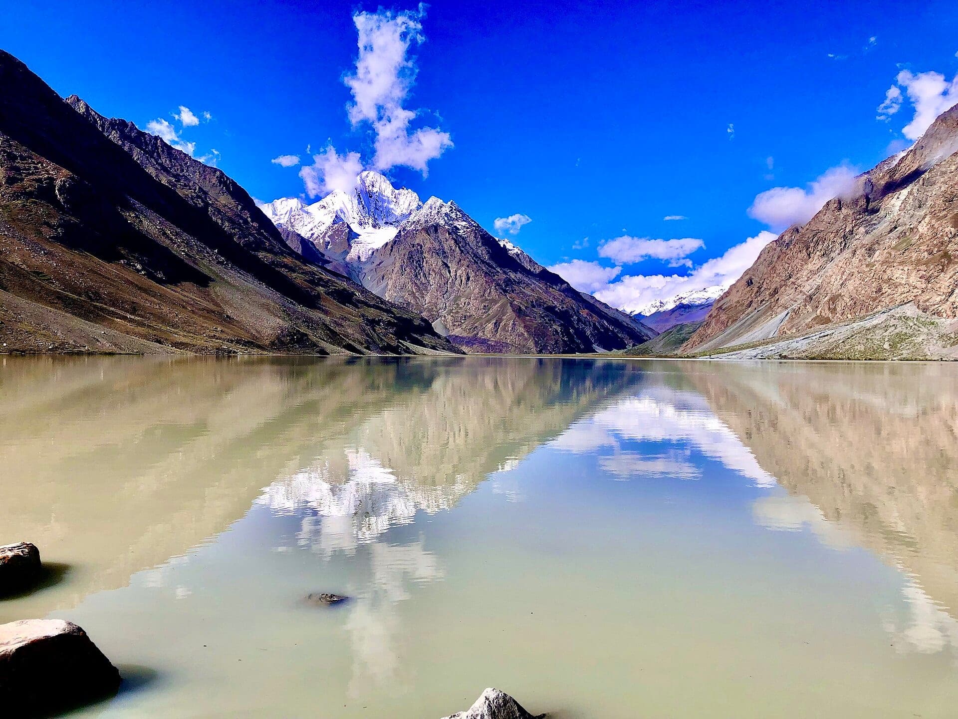
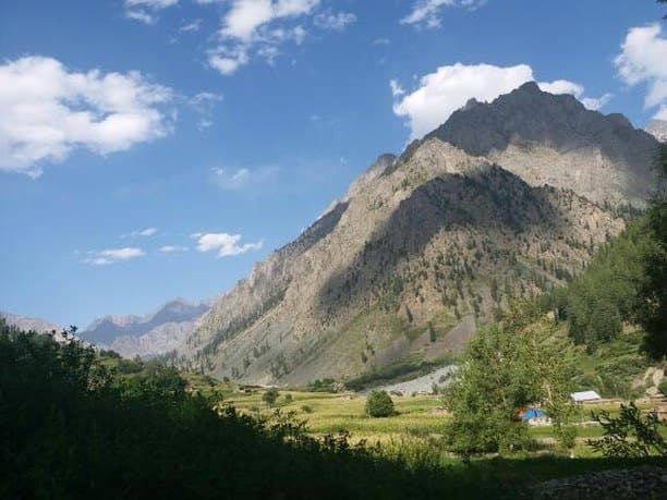
Mastuj sits where routes meet: the valley borders the Wakhan in Afghanistan to the north and Ghizer's Ishkoman, Yasin and Gupis to the east, and the road to the Shandur Pass passes nearby. Villages in the tehsil include Buni, Reshun, Kuragh, Parwak, Chuinj, Brep and Chapali.
How to Reach
In Upper Chitral District, on the road from Chitral towards Shandur.
Responsible Travel
Use Leave No Trace principles, carry out all rubbish, avoid disturbing wildlife and livestock, and respect private/community land.
Planning tip
Best Time to Visit, May to October.
Getting there, In Upper Chitral District, on the road from Chitral towards Shandur.
Allow, A night on the way to Shandur.
What to Do
Nearby
Straight-line distance from Mastuj, within 5 km.
Nothing else genuinely close by (within 5 km of Mastuj) is published yet.