Area guides / Khyber Pakhtunkhwa / Chitral
Area guide
Chitral
The Hindu Kush frontier town beneath Tirich Mir
Region
Khyber Pakhtunkhwa
When to go
April to October for the valleys. The Lowari Tunnel now keeps the road open in winter.
Getting there
Fly Islamabad-Chitral (45-60 minutes, weather permitting), or drive through Dir and the Lowari Tunnel, 7-8 hours from Islamabad.
Spots
4 key places
Overview
About Chitral
Chitral sits at 1,494 m on the Chitral River beneath the Hindu Kush, the former capital of the princely state of Chitral. The Shahi Masjid, the fort and the old bazaar lie under Tirich Mir (7,708 m), with the Kalasha valleys, Garam Chashma's hot springs and Chitral Gol National Park close by.
Fly Islamabad-Chitral (45-60 minutes, weather permitting), or drive through Dir and the Lowari Tunnel, 7-8 hours from Islamabad.
Town and valleys
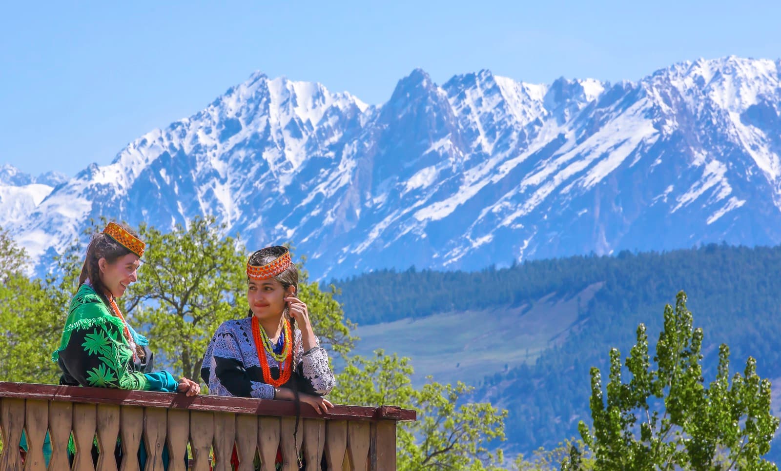
Use Chitral town as the base: Chitral Gol for forest walks, Garam Chashma to the north-west for its hot spring and trout river, and the Kalasha valleys about 20 km away for their festivals and wooden villages.
North to Booni and Shandur
Upper Chitral opens up beyond the town toward Booni, Mastuj and the Shandur Pass, where the polo festival is held each summer. It is a long, high road, so allow time.
Festivals & Events
All events →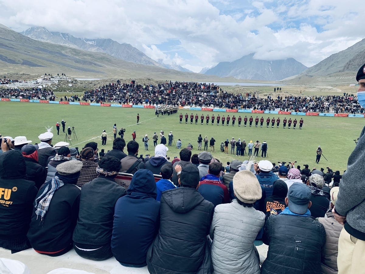 June - July
Shandur Polo Festival
The world's highest polo ground, Chitral and Gilgit teams meet on a plateau above the clouds.
 May
MayChilam Joshi (Joshi)
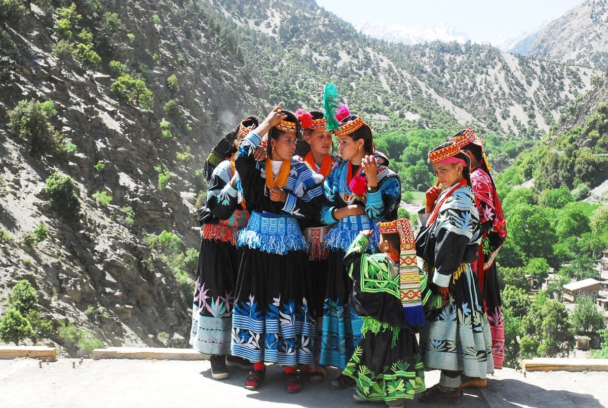
The Kalasha spring festival, milk stored for days, processions, and group dancing at the Charso grounds in Bumburet.
 Late August
Uchal (Uchau)
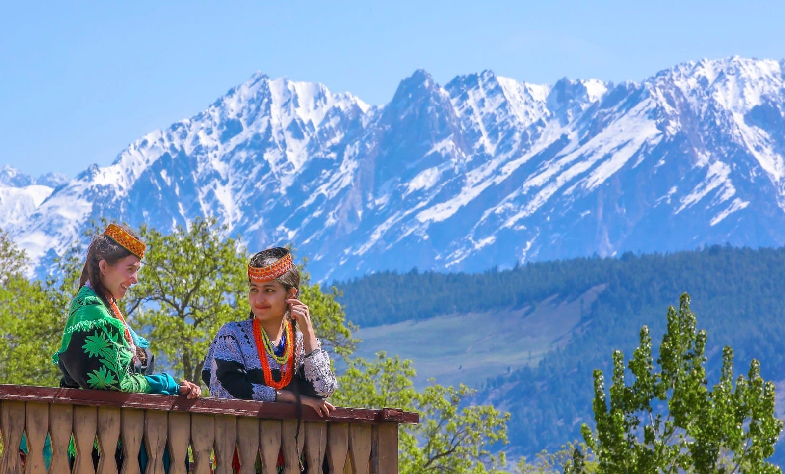
Kalasha harvest thanksgiving, cheese, bread, and rituals marking the end of the high pasture season.
 December
Choimus (Chawmos)
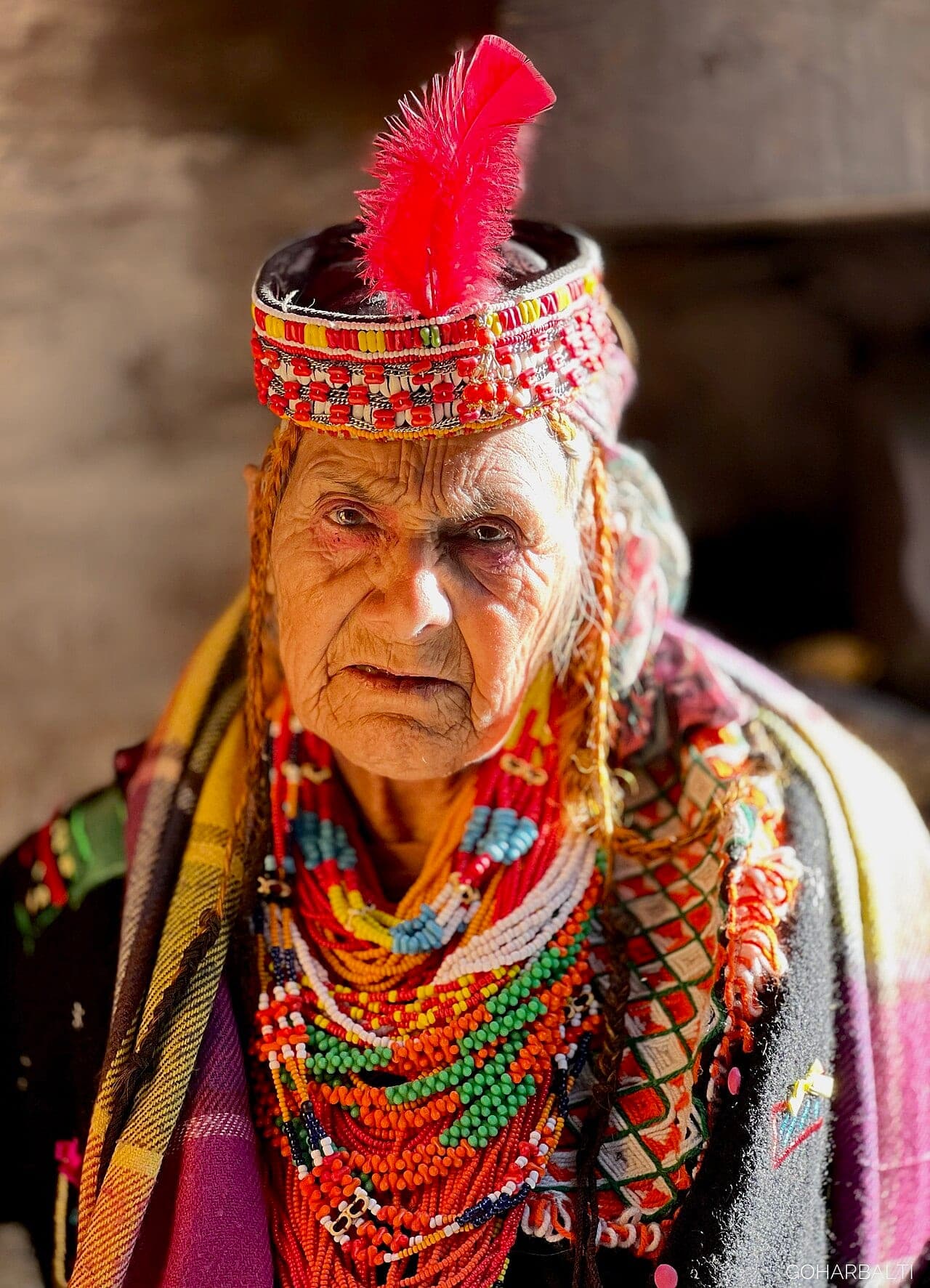
The Kalasha winter solstice festival, fire, feasting, and rites that carry the community through the coldest months.
 September - October
Pul Festival
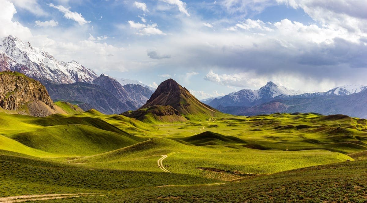
The autumn festival celebrated only in Birir, the smallest and most secluded of the three Kalasha valleys.
Field Guides
All places →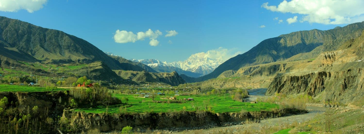
Chitral
Chitral sits at 1,494 m in a wide valley beneath the Hindu Kush, Pakistan's mountaineering frontier town and the gateway to some of the country's most remarkable cultural and wilderness landscapes. The Shahi Masjid, Chitral Fort, and the old bazaar sit beneath the gaze of Tirich Mir (7,708 m); to the south are the Kalasha valleys; to the north the Shandur Pass polo ground; and beyond, the Hindu Kush climbs toward Afghanistan.
Kalasha Valleys Cultural Landscape
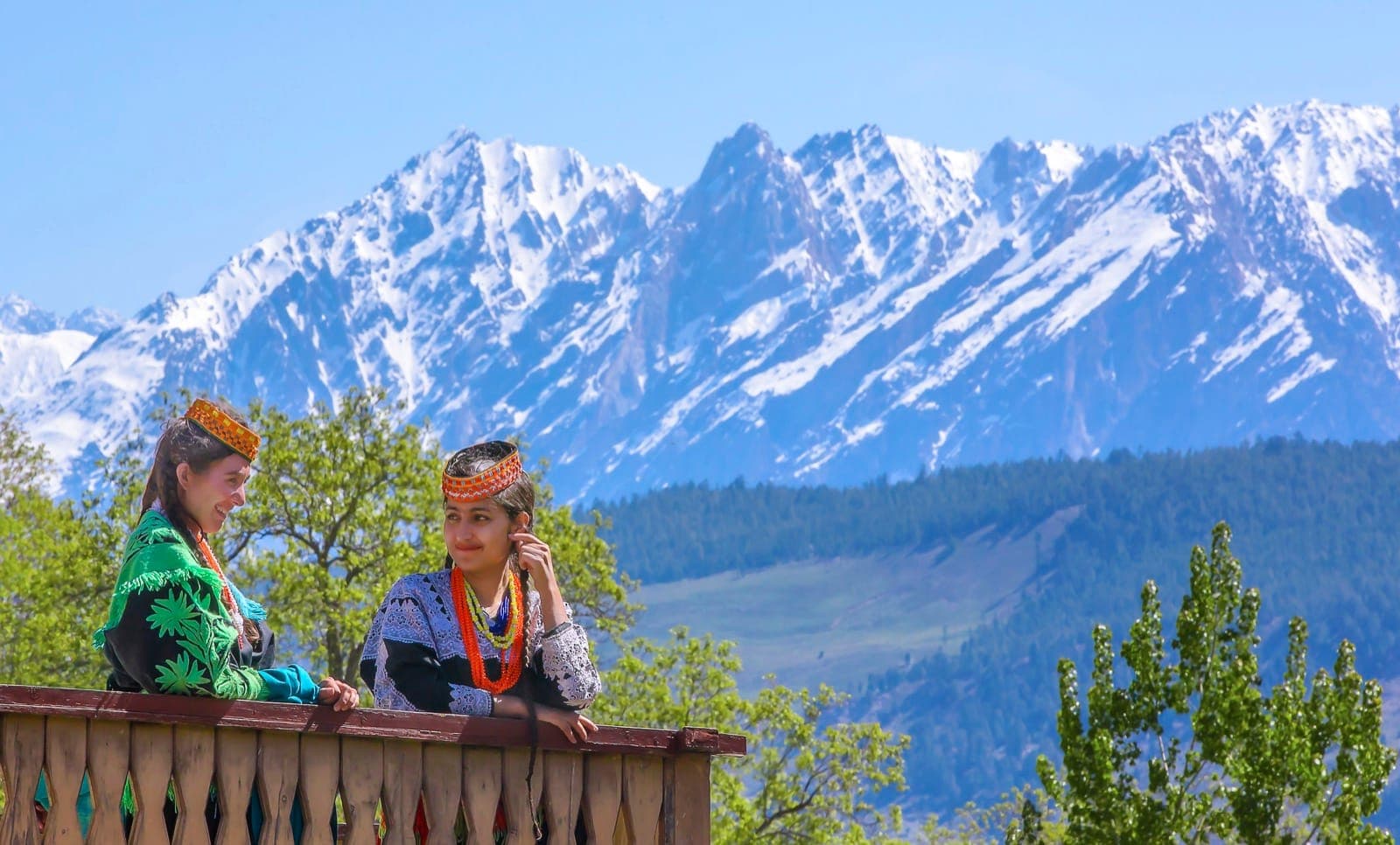
In the southern Hindu Kush near Chitral, the Kalasha valleys of Bumburet (Bumboorat), Rumbur, and Birir hold one of Pakistan's last continuously living indigenous cultures, wooden houses, goat paths, festival grounds, and a belief system older than the passes that surround them.
Chitral Gol National Park
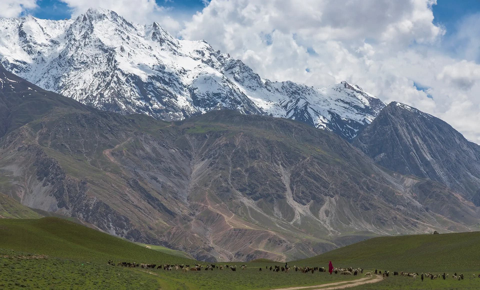
Chitral Gol National Park protects a network of steep valleys, forest, streams, and high ridges immediately west of Chitral town. The map point represents the protected landscape rather than a single gate. Birmoghlasht is a visitor access area and viewpoint within the wider park context, while Chitral city remains a separate destination.
Tirich Mir
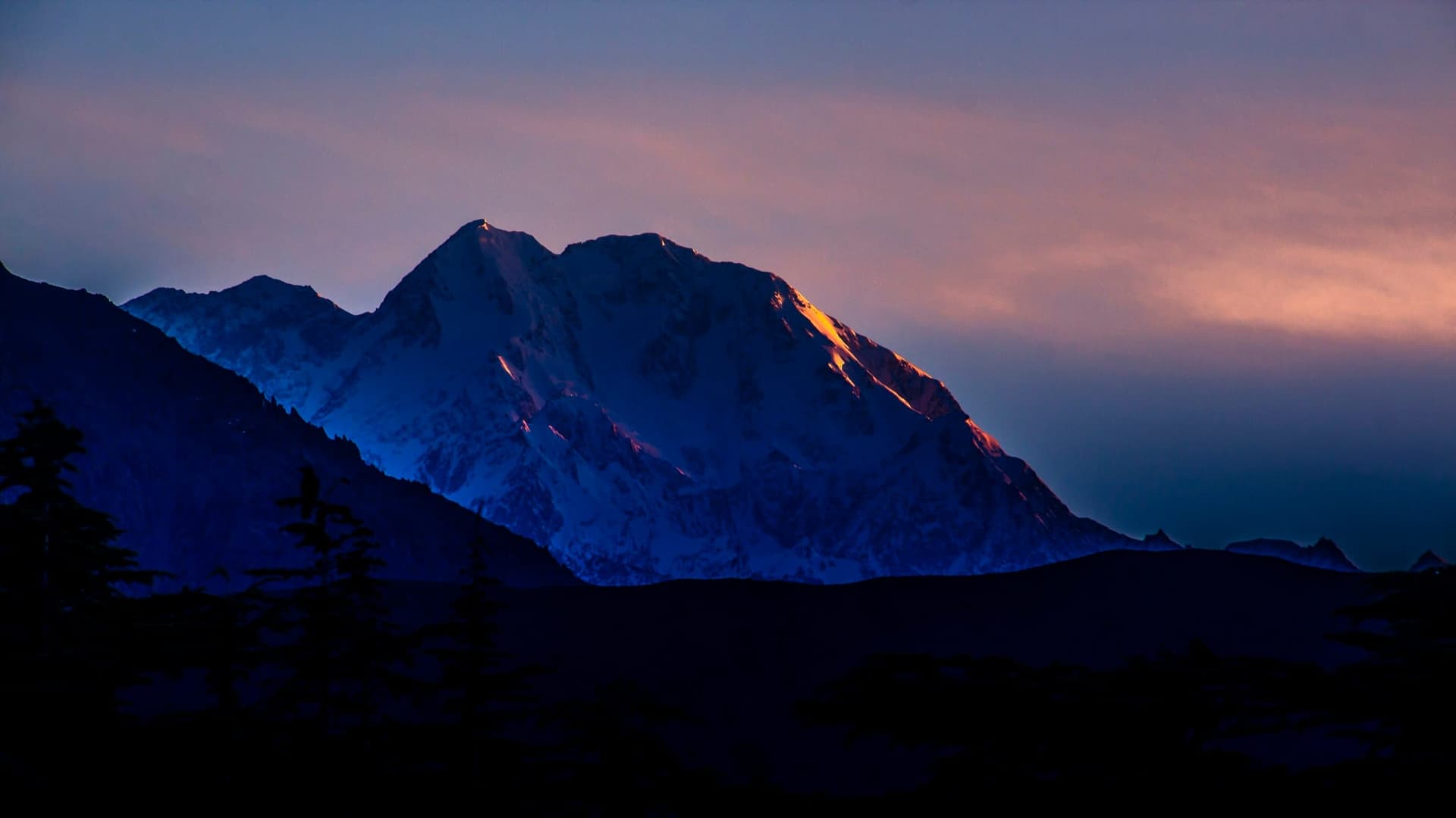
Tirich Mir reaches 7,708 m as the highest point in the Hindu Kush, and indeed the highest mountain in the world outside the Himalaya-Karakoram-Pamir system. It rises dramatically above Chitral town in Khyber Pakhtunkhwa, visible from the Afghan plains on a clear day. First summited in 1950 by a Norwegian expedition led by Arne Næss.
Garam Chashma
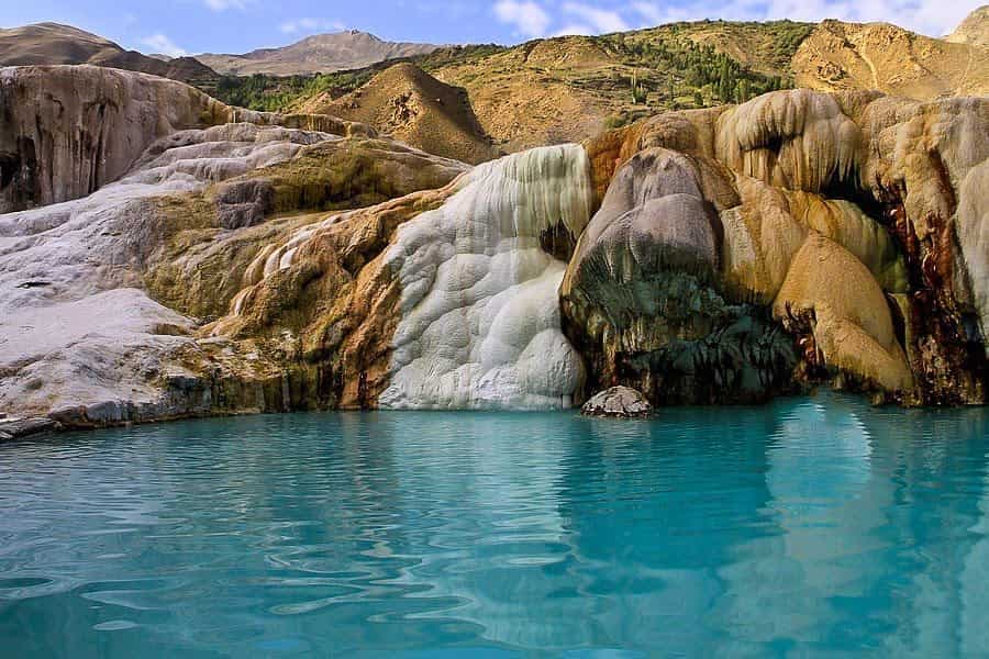
Garam Chashma is a scenic valley or mountain-settlement destination in Lower Chitral, Khyber Pakhtunkhwa, best approached as a slower journey through lived-in landscapes rather than a single roadside attraction. The appeal comes from the changing relationship between villages, cultivated ground, watercourses and surrounding ridges.