 Photo: Abdul.wasiq · CC BY 3.0
Field guides / Gilgit-Baltistan / Chitral / Darkot Pass
Field guide · Mountains
Chitral Upper
Chitral Upper District · Khyber Pakhtunkhwa, Pakistan
Darkot Pass
A 4,700 m glacier pass between the Broghil valley of Chitral and the Yasin valley of Ghizer, open from May to October.
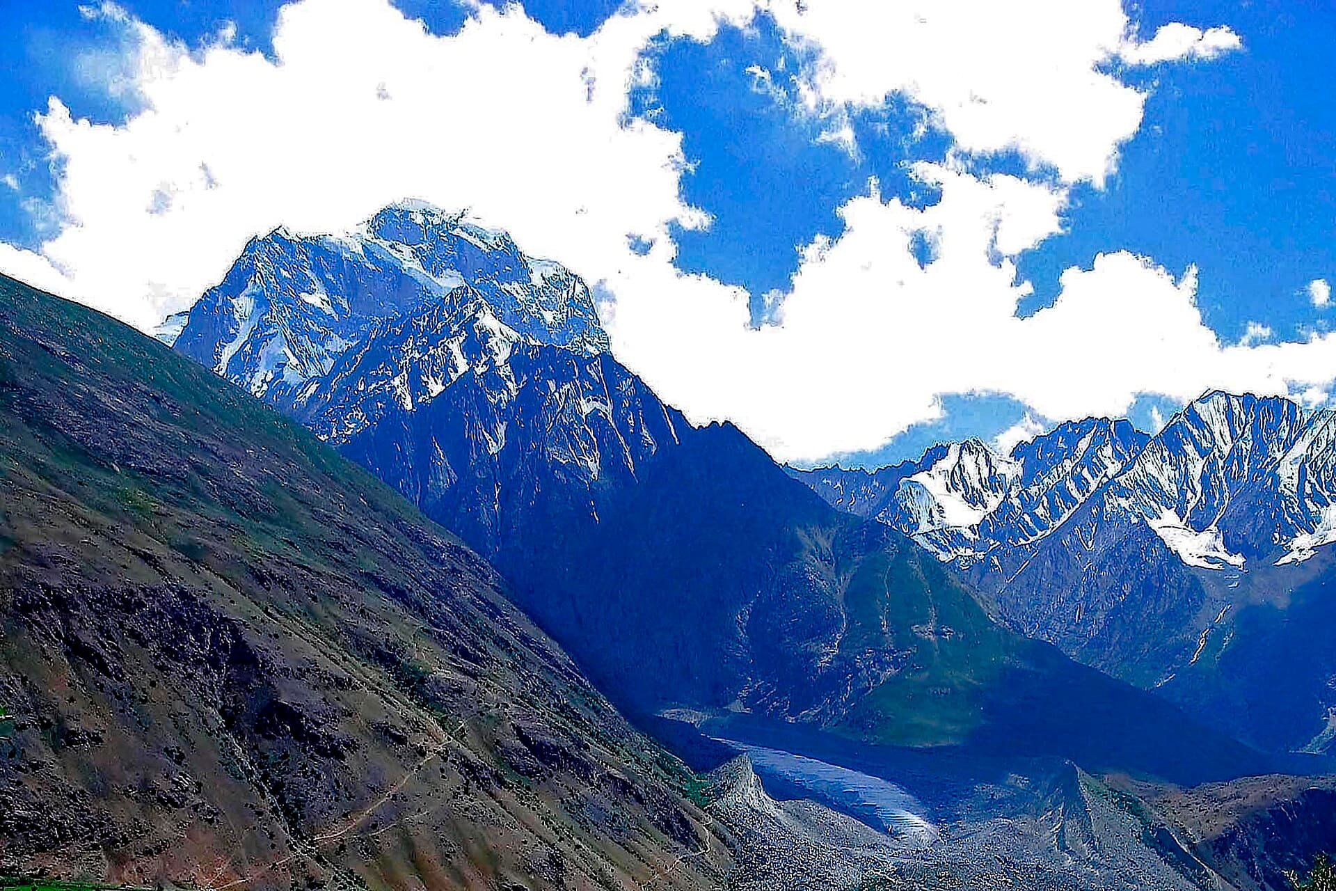
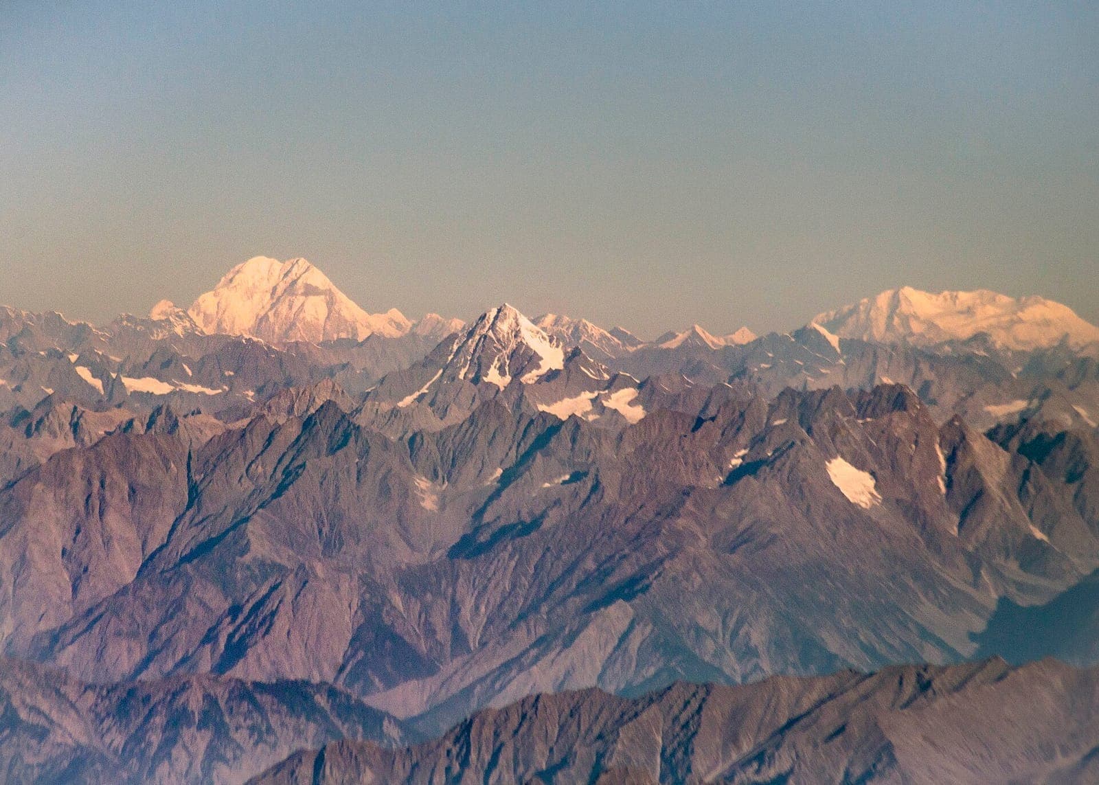
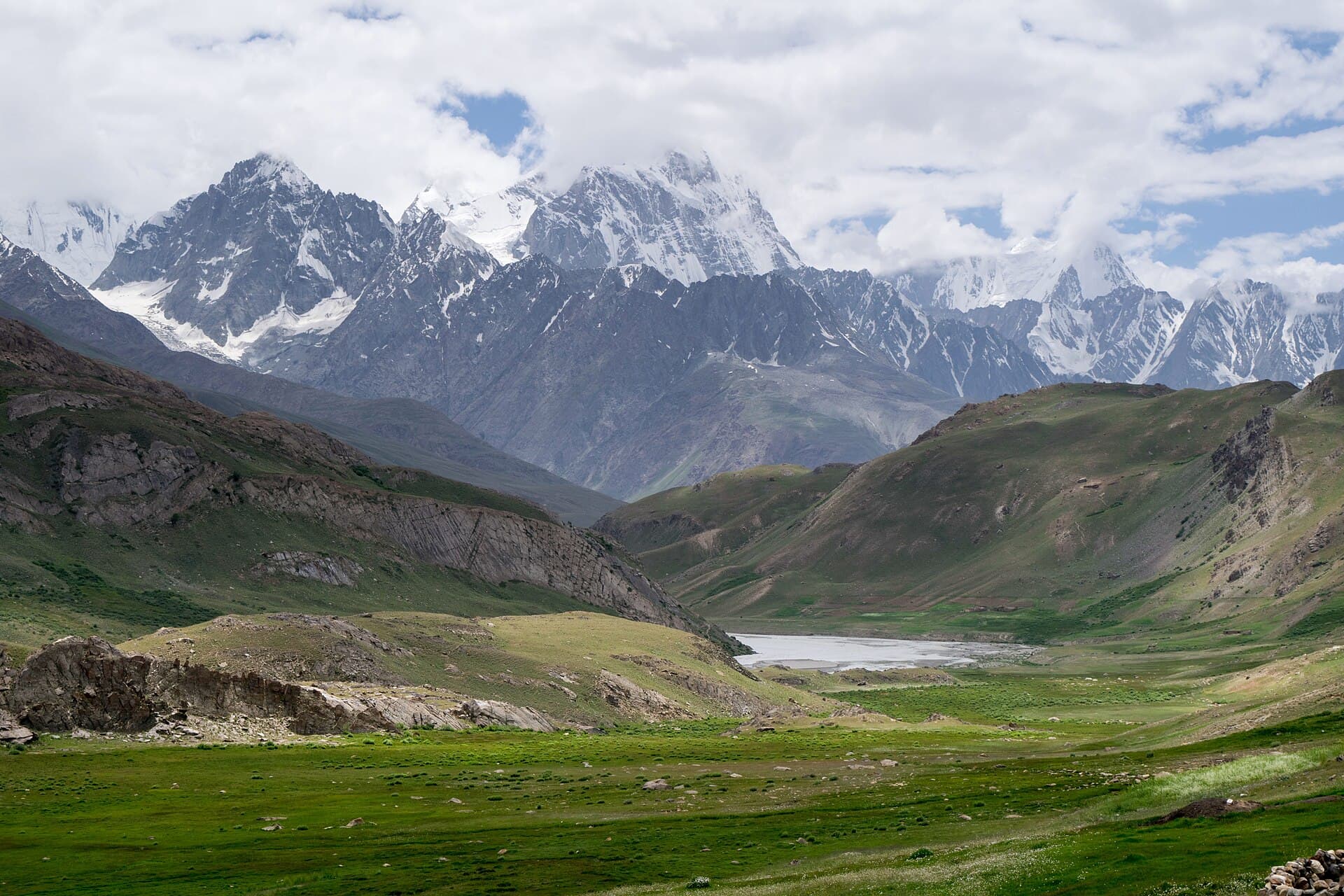
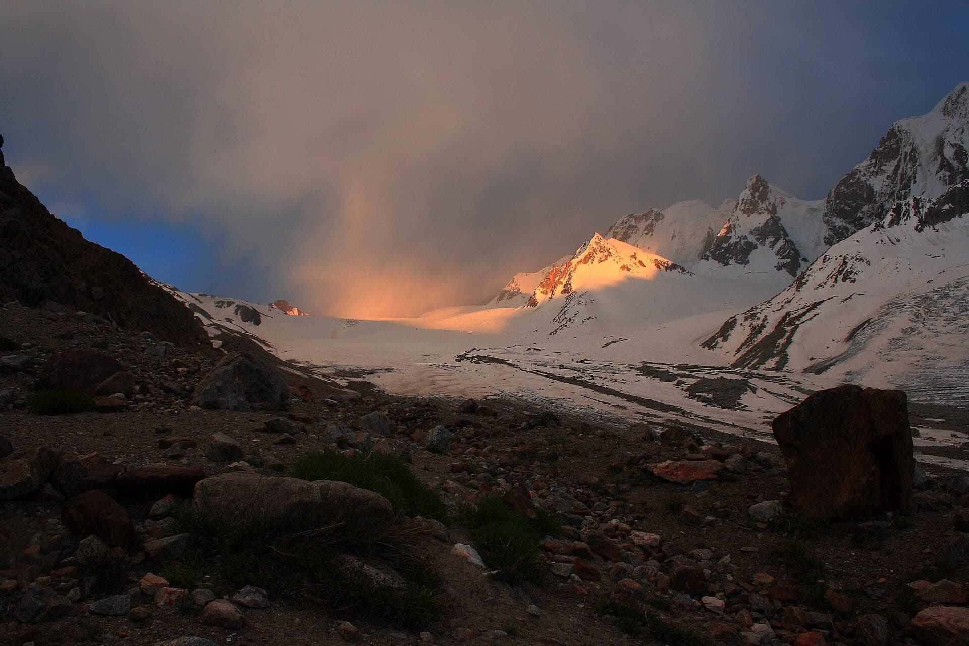
The Darkot Pass, at about 15,430 ft (4,700 m), crosses the Darkot Glacier between the Broghil valley of Upper Chitral and the Rawat valley of Ghizer, and the boundary between Chitral and Gilgit-Baltistan runs over it. It is open from May to October. Koyo Zom (6,872 m), the highest peak of Ghizer, rises about 10 miles to the west, the village of Darkot lies eight miles south on the Darkot River, and the Broghil Pass is about ten miles to the northwest. The pass has its own place in the history of the Great Game.
Why go
- ✦A glacier pass at about 4,700 m
- ✦Between Broghil and the Yasin valley
- ✦Near Koyo Zom, Ghizer's highest peak
How to Reach
On foot, from Darkot village in the Yasin valley or from the Broghil valley; a glacier crossing.
Planning tip
Best Time to Visit, June to September, within its May–October opening. Go only with an experienced local guide.
Getting there, On foot, from Darkot village in the Yasin valley or from the Broghil valley; a glacier crossing.
Allow, Several days as part of a trek.
What to Do
Nearby
Straight-line distance from Darkot Pass, within 5 km.
Nothing else genuinely close by (within 5 km of Darkot Pass) is published yet.