 Photo: Department of Archaeology & Museums, Government of Pakistan
Field guides / Punjab / Salt Range & Katas Raj / Nandana Fort
Field guide · Heritage
Jhelum
Jhelum District · Punjab, Pakistan
Nandana Fort
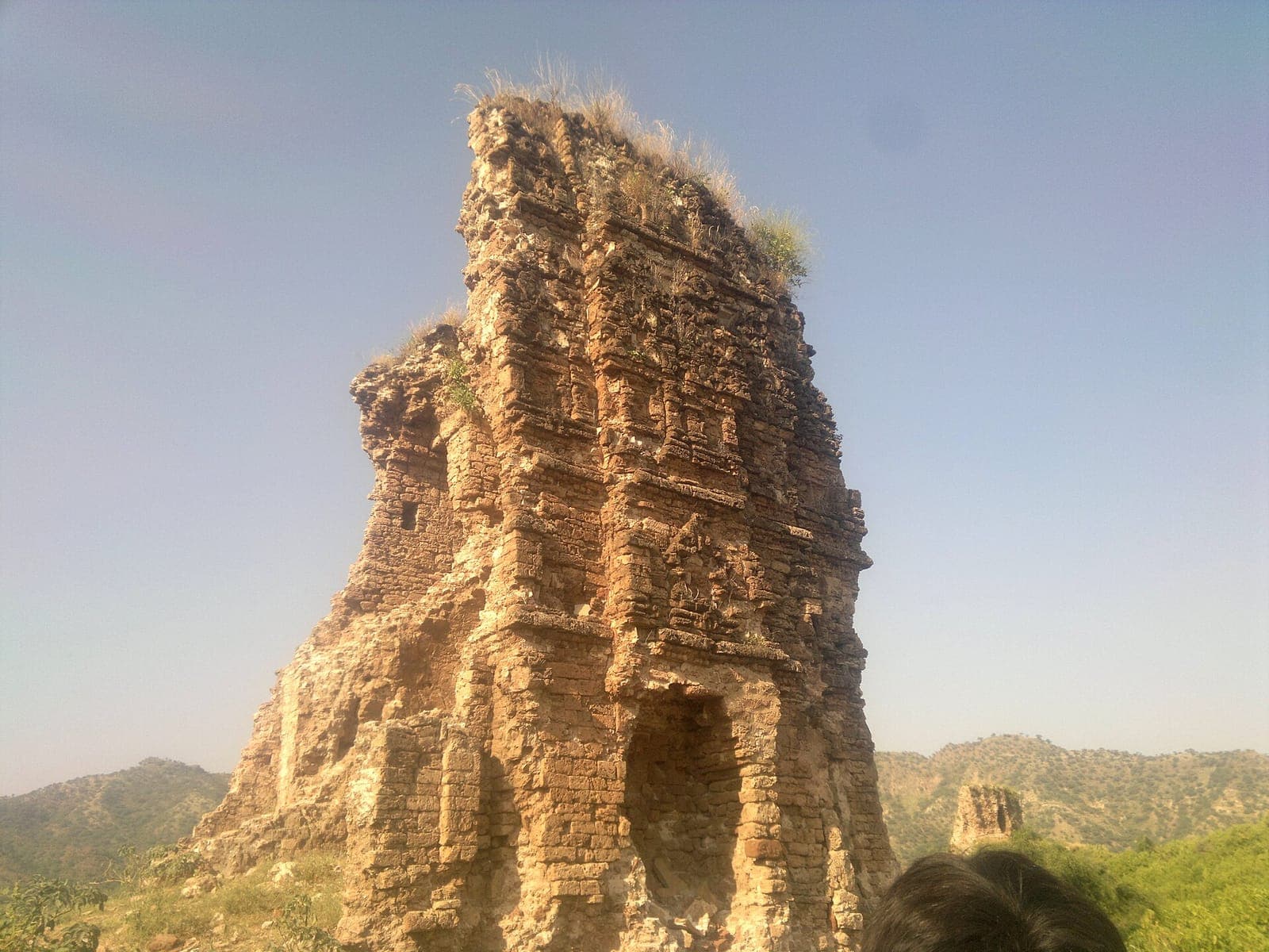
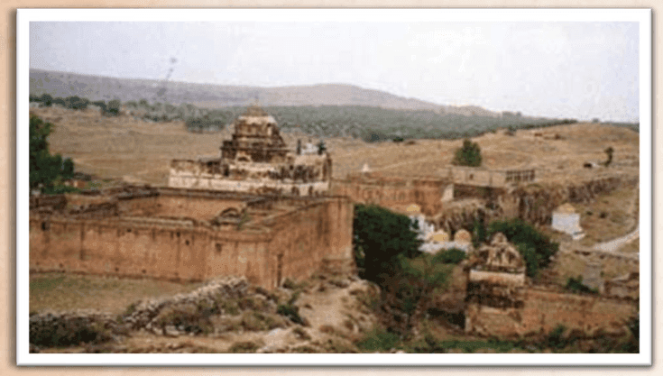
A ruined hilltop fortress of the 9th-11th century Odi Shahi dynasty on the eastern Salt Range near Baghanwala, reached by a steep trek and celebrated as the spot where the polymath Al-Biruni is said to have measured the Earth's radius.
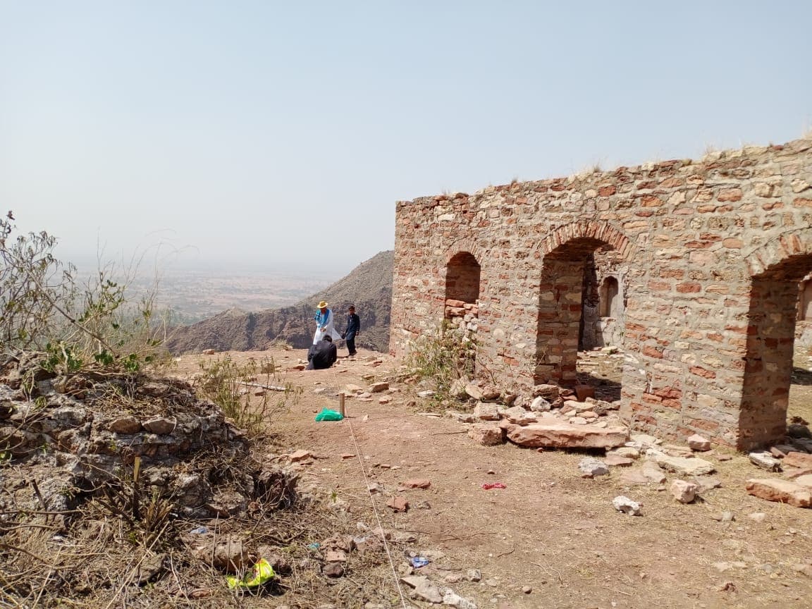
Nandana Fort is a ruined hilltop stronghold of the 9th-11th century Odi Shahi dynasty, perched on the eastern edge of the Salt Range near Baghanwala village. Reaching it requires a steep climb, rewarded by dramatic cliff views and a claim to scientific history: the polymath Al-Biruni is traditionally said to have used this vantage point to calculate the Earth's radius in the 11th century.
Why go
- ✦Ruined 9th-11th century Odi Shahi hilltop fort
- ✦Steep trek required to reach it
- ✦Site linked to Al-Biruni's measurement of the Earth's radius
- ✦Dramatic Salt Range cliff views
The Odi Shahi Stronghold
Built by the Hindu Shahi (Odi Shahi) rulers who controlled this part of the Salt Range before the Ghaznavid conquests, Nandana was one of their key defensive positions, its ruins now scattered across a commanding hilltop.
Al-Biruni's Measurement
According to tradition, the 11th-century polymath Al-Biruni used trigonometric observations from this height to estimate the Earth's radius, a story that gives the ruins a scientific-history draw beyond their military past.
Getting to the Top
There is no easy road to the fort itself; visitors trek up a steep hillside path, so sturdy footwear and a local guide familiar with the route are worth arranging in advance.
Planning tip
Best Time to Visit, November to March, cooler weather for the climb.
Getting there, Near Baghanwala village in Jhelum district, reached via the Salt Range road network; a local guide is recommended for the final approach.
Allow, Half a day including the hike up and back.
What to Do
Nearby
Straight-line distance from Nandana Fort, within 5 km.