 Photo: Nadia khan Ali bouq · CC BY-SA 4.0
Field guides / Gilgit Division / Gilgit & Naltar / Bagrot Valley
Field guide · Nature
Gilgit Division
Gilgit District · Gilgit-Baltistan, Pakistan
Bagrot Valley
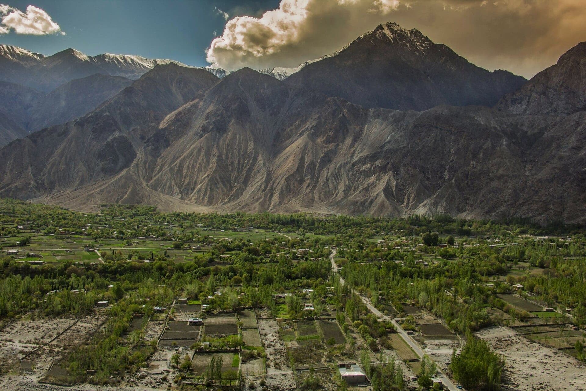
A valley 17 km from Gilgit under Rakaposhi, Diran and Dobani, with pastures up to about 5,000 m.
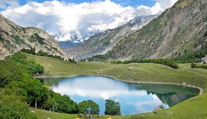
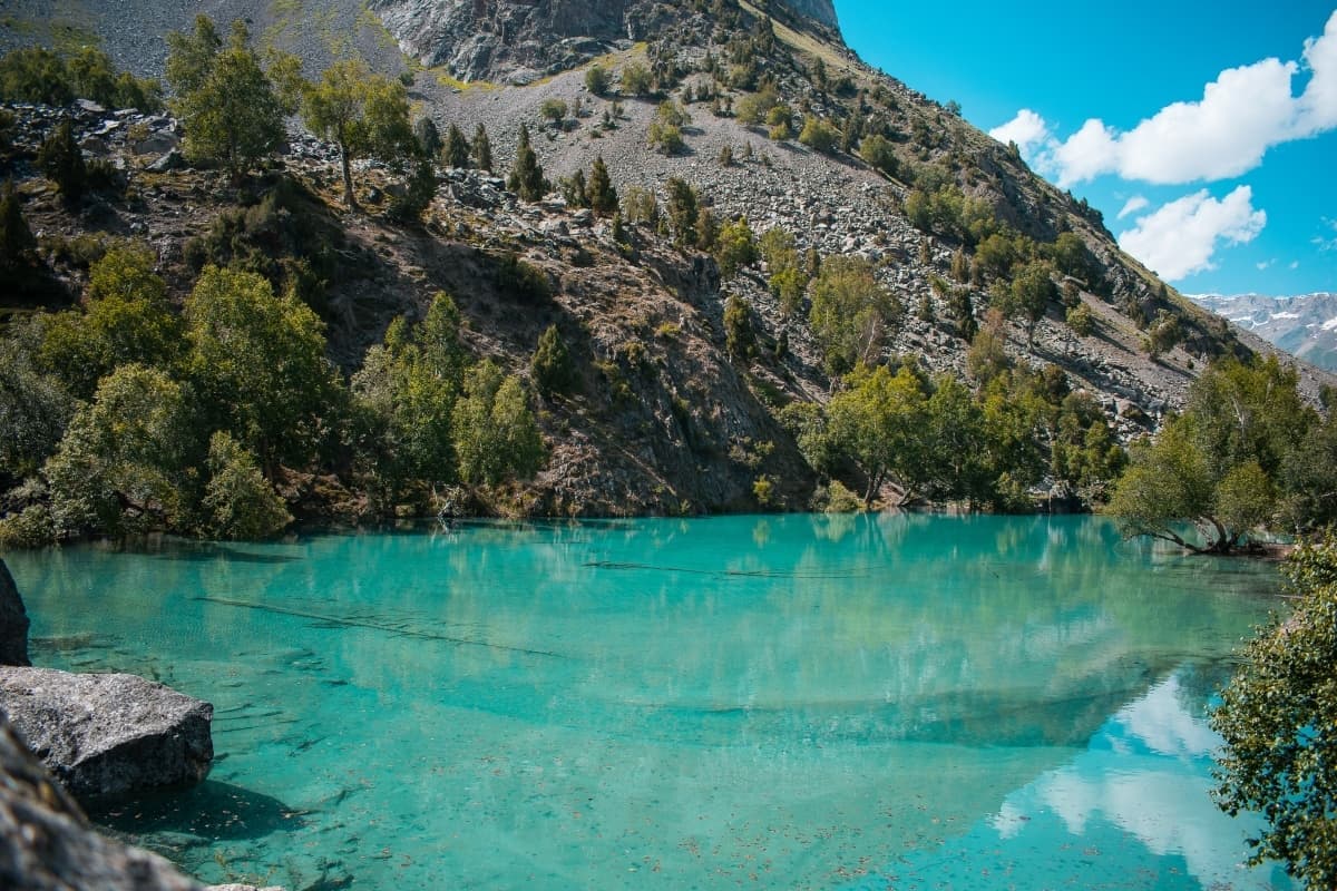
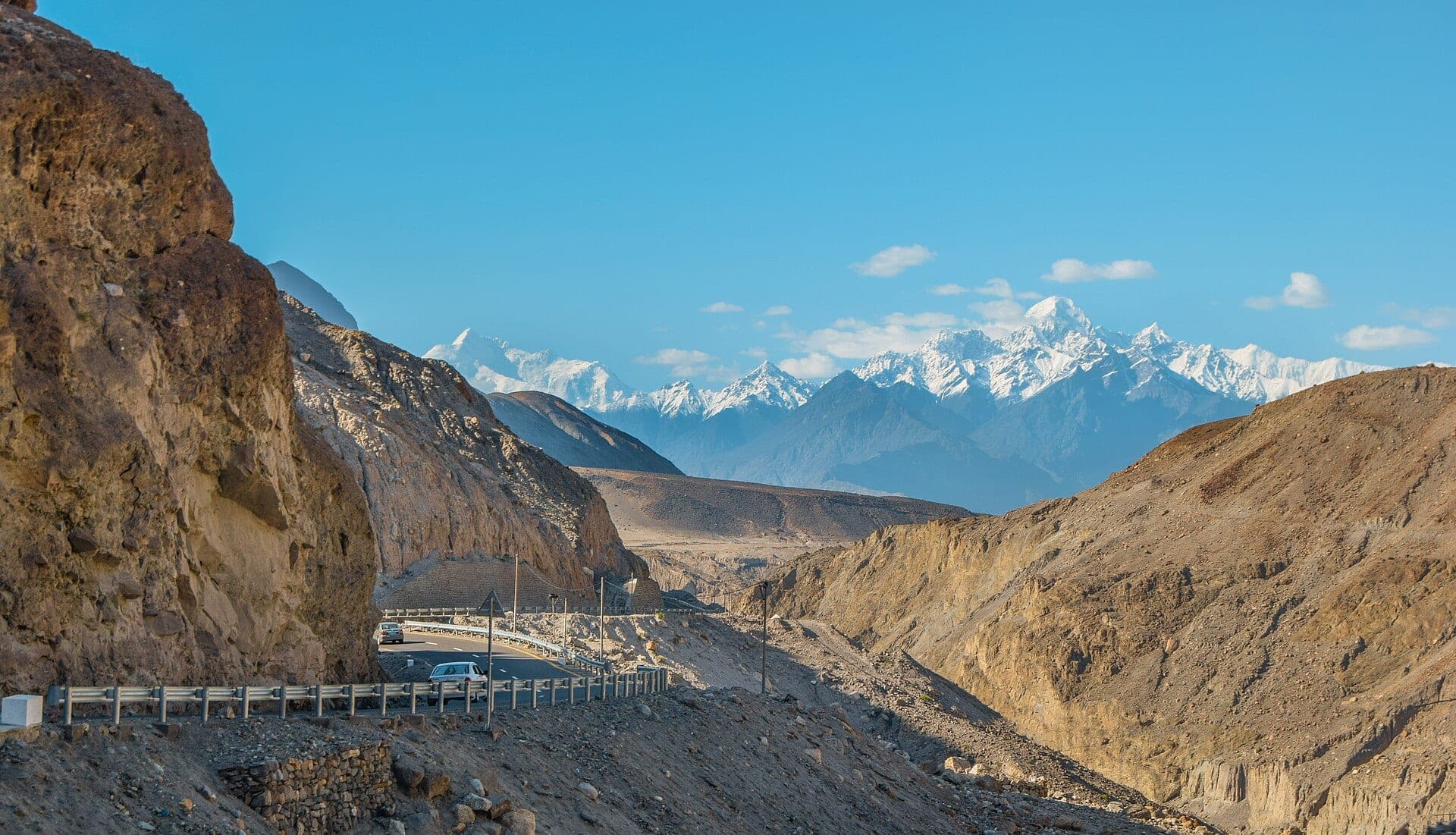
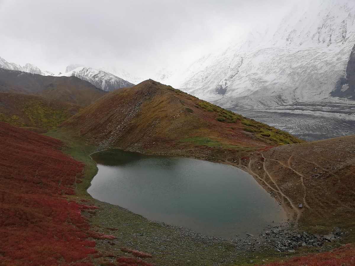
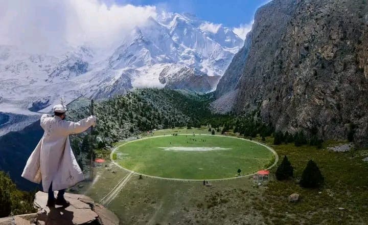
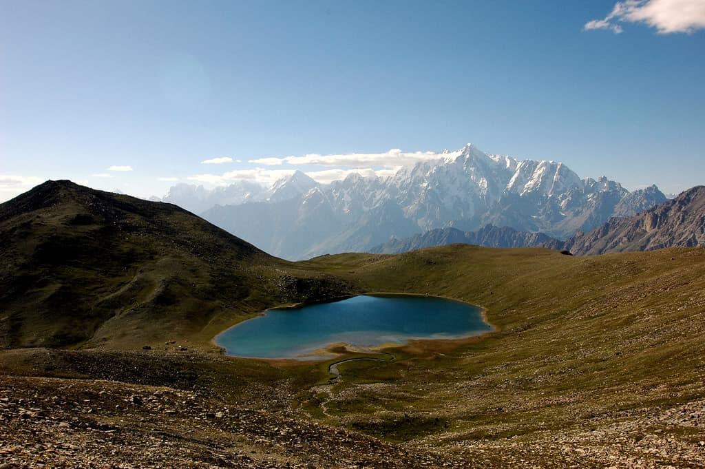
Bagrot valley lies about 17 km from Gilgit, with Rakaposhi to the north-west, Diran to the north-east and Dobani to the east. Alpine pastures climb its slopes to nearly 5,000 m.
Why go
- ✦Views of Rakaposhi, Diran and Dobani
- ✦Alpine pastures up to about 5,000 m
- ✦Only 17 km from Gilgit
- ✦Mountain farming villages
About
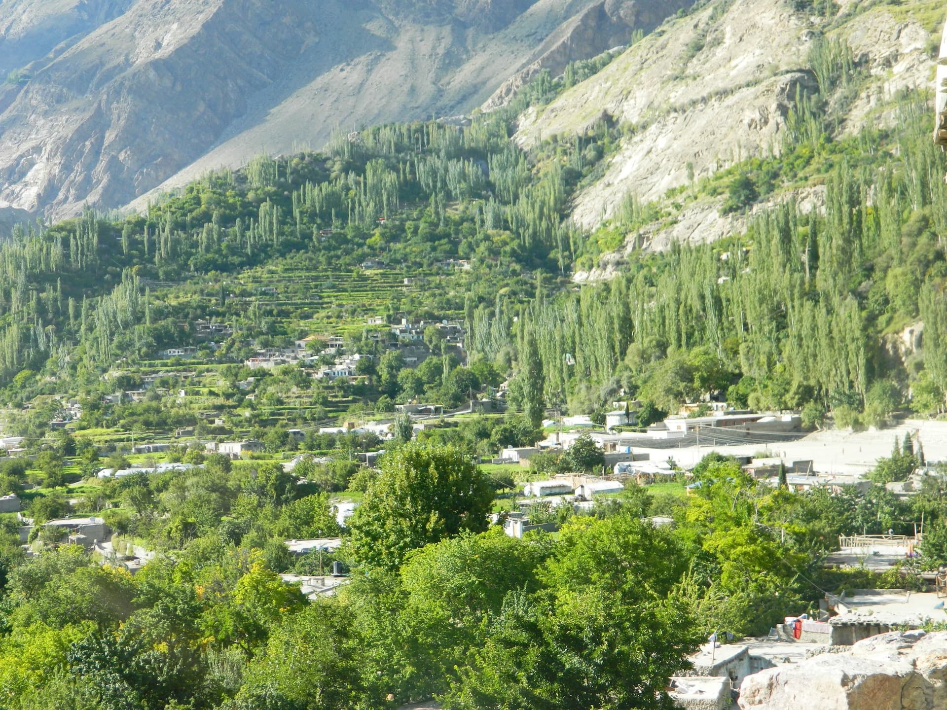
People here live by mountain farming, growing barley, maize, potatoes and wheat, with income from jobs and services on top. It is an easy day trip from Gilgit.
How to Reach
About 17 km from Gilgit town by road.
Responsible Travel
Use Leave No Trace principles, carry out all rubbish, avoid disturbing wildlife and livestock, and respect private/community land.
Planning tip
Best Time to Visit, May to October.
Getting there, About 17 km from Gilgit town by road.
Allow, A day from Gilgit.
What to Do
Nearby
Straight-line distance from Bagrot Valley, within 5 km.
Nothing else genuinely close by (within 5 km of Bagrot Valley) is published yet.