Area guides / Gilgit-Baltistan / Gilgit & Naltar
Area guide
Gilgit & Naltar
The north's hub town, and the pine valley above it
Region
Gilgit-Baltistan
When to go
April to October for the Karakoram Highway season
Getting there
Fly Islamabad-Gilgit (weather permitting) or drive the Karakoram Highway, a long day or two. Naltar is 2-3 hours by jeep up a rough track from Nomal, best left to local 4x4 drivers.
Spots
4 key places
Overview
About Gilgit & Naltar
Gilgit is the capital of Gilgit-Baltistan and the working base for the north, near where the Gilgit and Hunza rivers meet. About 34 km from the town, Naltar is a forested valley of alpine lakes and winter ski slopes, a complete contrast to the bare Karakoram rock around Gilgit.
Fly Islamabad-Gilgit (weather permitting) or drive the Karakoram Highway, a long day or two. Naltar is 2-3 hours by jeep up a rough track from Nomal, best left to local 4x4 drivers.
Gilgit as a base
Gilgit is less a sight than the place the north is organised from: flights, jeeps and supplies. Short trips reach the Kargah Buddha, Bagrot Valley and the Rakaposhi viewpoints on the Karakoram Highway toward Hunza.
Up to Naltar
Naltar's jeep track climbs from Nomal through pine forest to a valley known for its three alpine lakes and for winter skiing. The track is the limiting factor in the shoulder seasons, so check conditions locally before going up.
Top sights in Gilgit & Naltar
Region guide →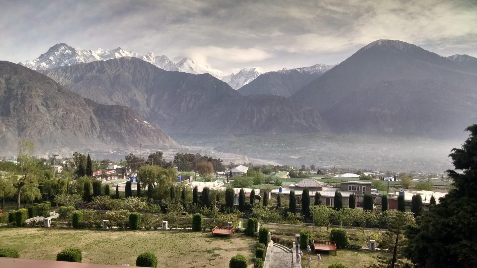
Gilgit
The regional capital and supply base, where the northern roads meet.
Naltar Valley
Pine forest, coloured lakes and ski slopes above Gilgit.
Kargah Buddha
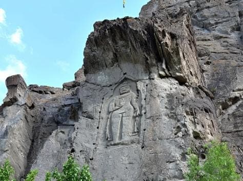
A standing Buddha carved into the cliff of Kargah Nala, west of town.
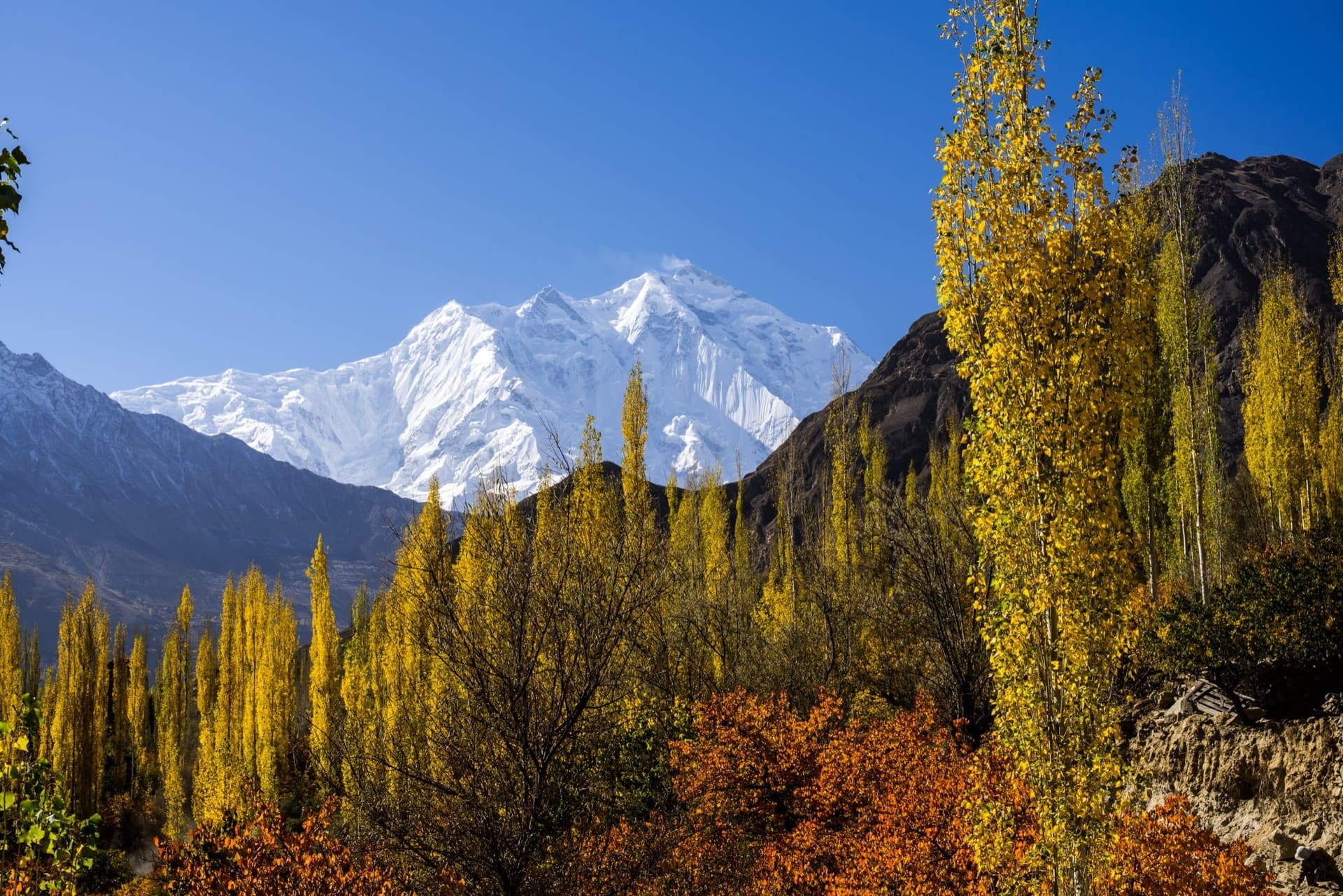
Rakaposhi
The 7,788 m peak that fills the skyline on the road north to Hunza.
Field Guides
All places →Gilgit
Gilgit is the capital of Gilgit-Baltistan and the working hub of the north, sitting where the Gilgit and Hunza rivers gather before joining the Indus a little further south. It is not a scenic destination in its own right so much as the region's supply base: airport, hospitals, markets, and the last reliable fuel and phone signal before the Karakoram Highway climbs into Hunza. Travellers pass through Gilgit at least twice on any northern circuit, and most stop a night to break the journey.
Naltar Valley
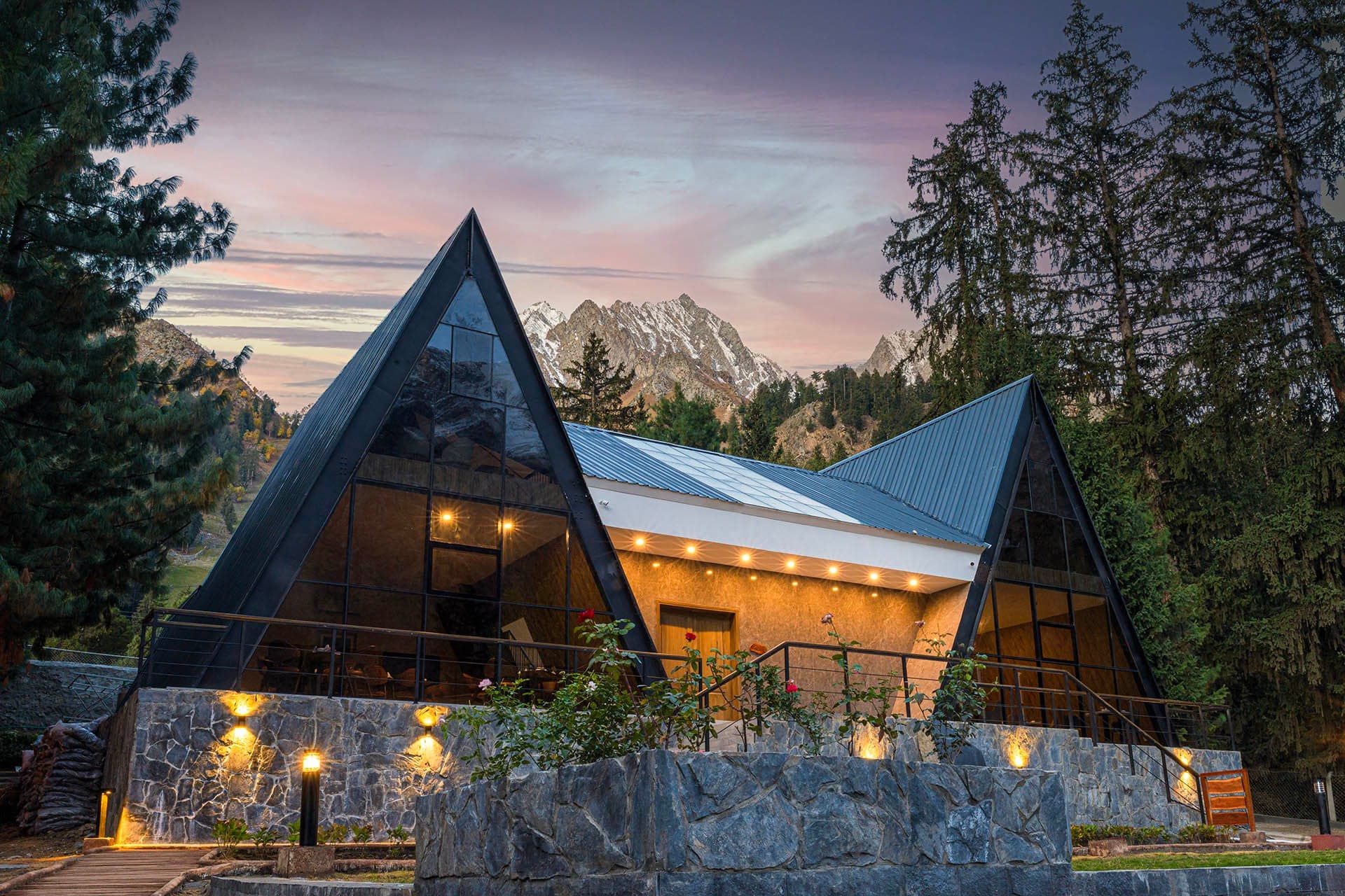
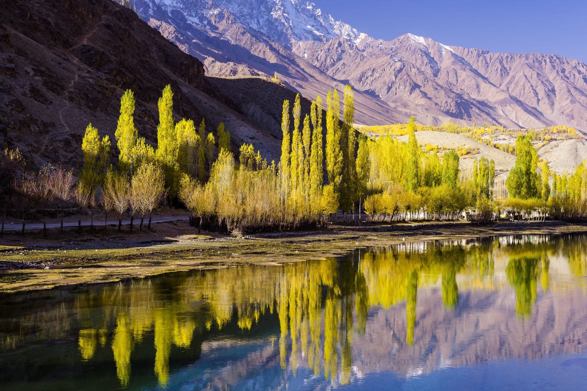
Naltar is an alpine valley of pine forest, ski slopes, and impossibly coloured lakes tucked above Gilgit, a complete contrast to the bare rock of the surrounding Karakoram. Reached by a rough jeep track that climbs through the trees, it is famous for two things: Pakistan's premier ski resort, run by the Air Force at around 3,000 m, and the Naltar (Bashkiri) Lakes, a string of jewel-toned tarns whose waters shift from turquoise to deep blue to green. In summer it is a green trekking and trout-fishing valley; in winter, a snow-sport destination.
Kargah Buddha
It features a large carved image of Buddha, standing at 50 feet (15 meters) tall, on the cliff face of Kargah Nala. This carving is believed to date back to the 7th century and is an important representation of early Buddhist art in the region. Gilgit was a major center of Buddhism from the 3rd to the 11th century. The site includes the remains of a Buddhist monastery and stupas, where Sanskrit manuscripts were discovered in 1931. Local legends associate the Buddha with a myth of a man-eating giantess who was trapped by a holy man.
Rakaposhi
Rakaposhi dominates the Nagar Valley at 7,788 m, the world's 27th-highest mountain (12th-highest in Pakistan) but arguably its most dramatically visible. The Karakoram Highway passes within viewing distance for nearly 40 km, and the peak's near-continuous 6,000 m vertical rise from the valley floor creates one of the greatest mountain walls on Earth. First summited in 1958 by the British-Pakistani expedition via the Southwest Ridge.
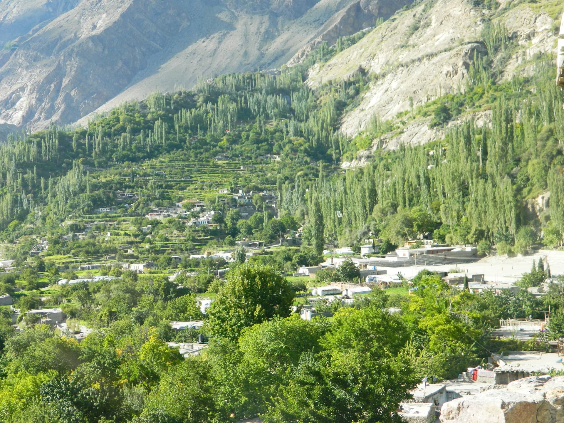
Bagrot Valley
Bagrot Valley is a scenic valley or mountain-settlement destination in Gilgit, Gilgit-Baltistan, best approached as a slower journey through lived-in landscapes rather than a single roadside attraction. The appeal comes from the changing relationship between villages, cultivated ground, watercourses and surrounding ridges.