 Photo: Government of Gilgit-Baltistan Tourism Department
Field guides / Diamer Division / Darel / Darel Valley
Field guide · Nature
Diamer Division
Darel District · Gilgit-Baltistan, Pakistan
Darel Valley
A valley on a tributary of the Indus in Diamer, 226 km from Gilgit, colourful in autumn.
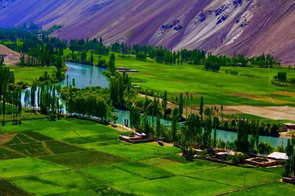
Darel valley follows the Darel River, a tributary of the Indus, in Diamer. It is 443 km from Islamabad and 226 km from Gilgit, reached off the Karakoram Highway near Shatiyal.
Why go
- ✦The valley of the Darel River
- ✦Autumn colour along the river
- ✦Gayel at the stream confluence
- ✦A narrow but good road from the Karakoram Highway
About
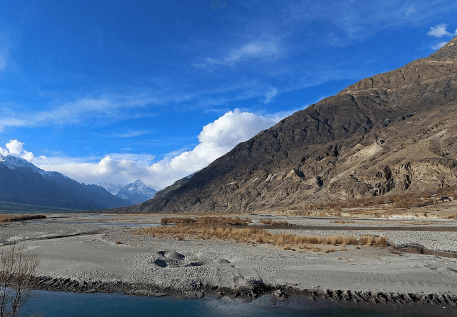
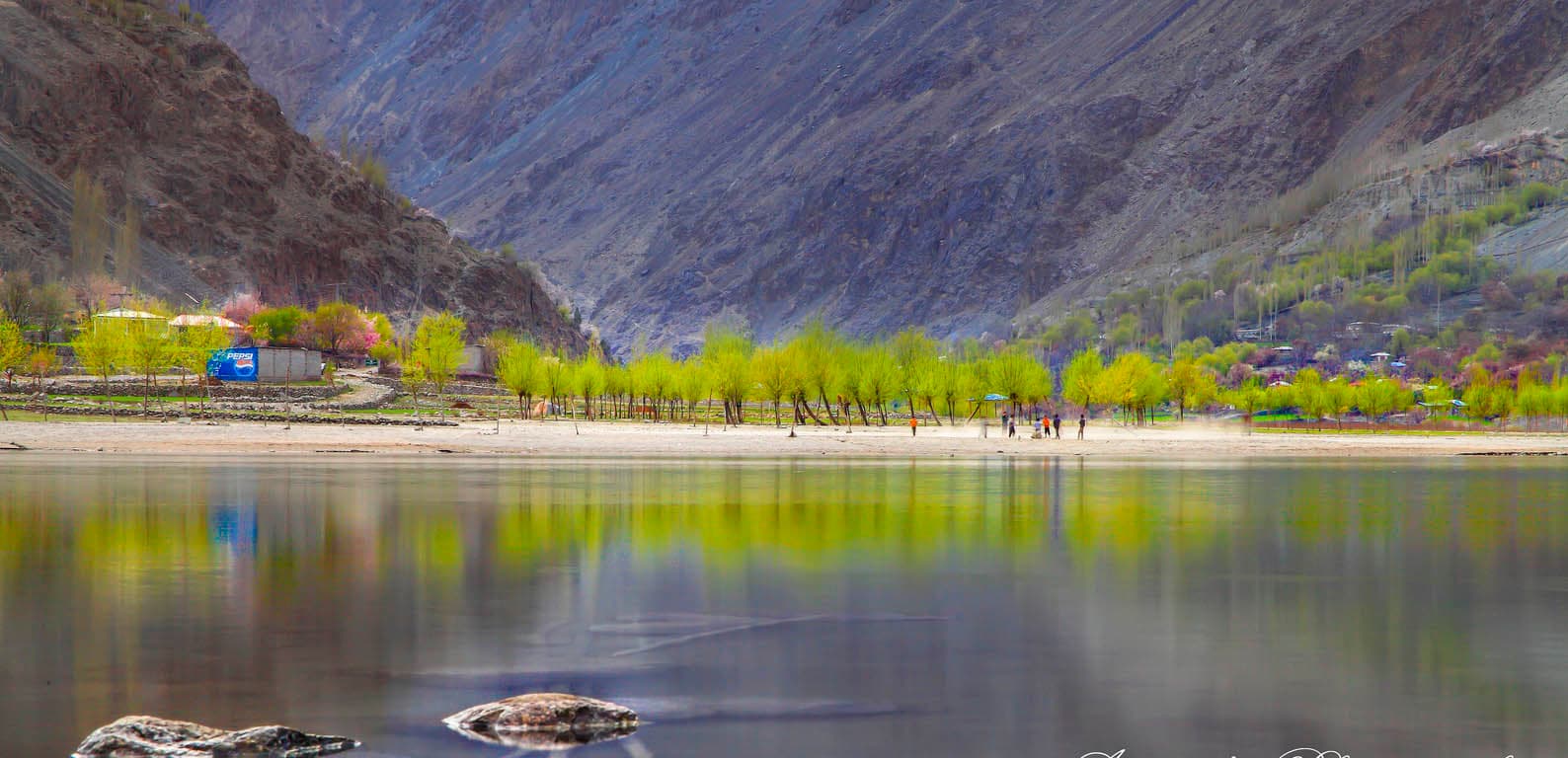
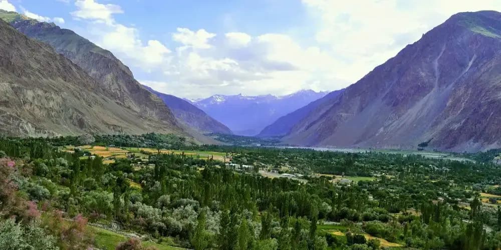
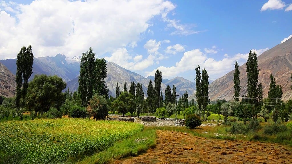
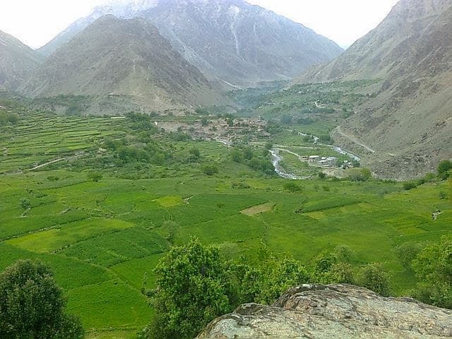
The mountains are mostly bare, with patches of fertile land, pastures and scattered trees along the river; in autumn the trees turn colour. Gayel, a small town, stands where a large stream meets the Darel.
How to Reach
From the Karakoram Highway at the police post near Shatiyal, cross the bridge and take the Darel road along the river.
Responsible Travel
Use Leave No Trace principles, carry out all rubbish, avoid disturbing wildlife and livestock, and respect private/community land.
Planning tip
Best Time to Visit, September to November for autumn colour.
Getting there, From the Karakoram Highway at the police post near Shatiyal, cross the bridge and take the Darel road along the river.
Allow, A day off the Karakoram Highway.
What to Do
Nearby
Straight-line distance from Darel Valley, within 5 km.
Nothing else genuinely close by (within 5 km of Darel Valley) is published yet.