 Photo: Zahyd Zay D · CC BY-SA 4.0
Field guides / Gilgit Division / Nagar / Diran Peak
Field guide · Mountains
Gilgit Division
Nagar District · Gilgit-Baltistan, Pakistan
Diran Peak
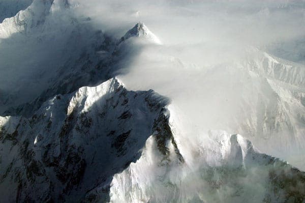
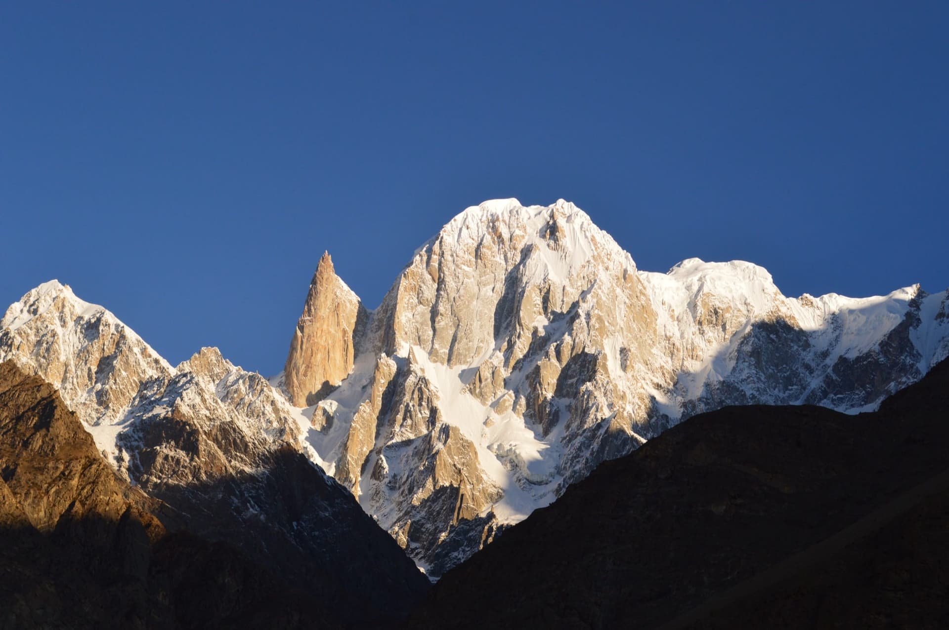
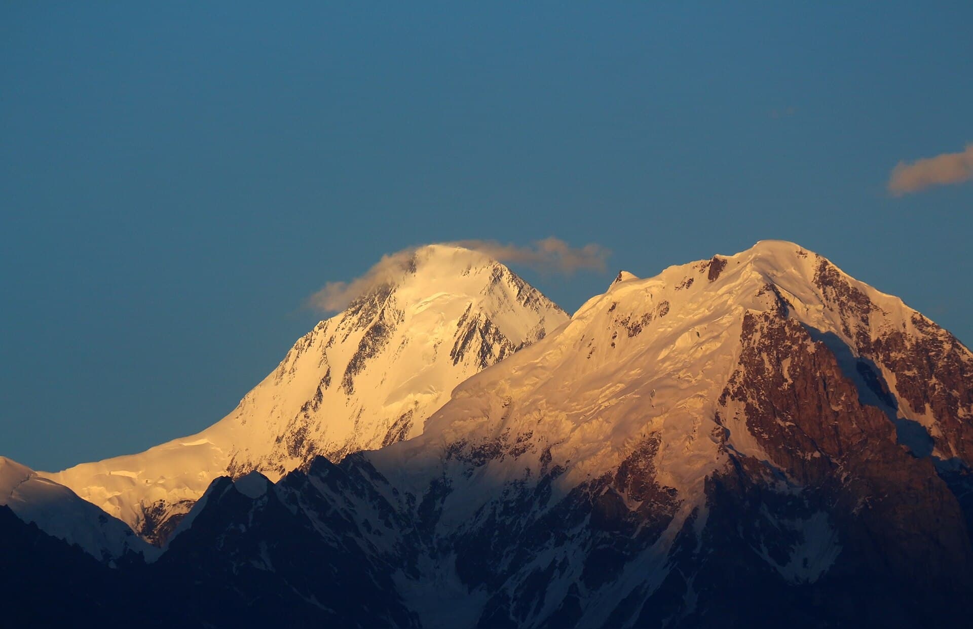
A 7,266 m snow pyramid east of Rakaposhi, seen from Nagar and the Bagrot valley, first climbed by Austrians in 1968.
Diran is a pyramid-shaped mountain of the Karakoram, 7,266 metres high, standing east of Rakaposhi (7,788 m) above the Bagrot valley and the Minapin and Nagar side of the Hunza River. After British, German and Austrian teams were turned back by weather, deep snow and avalanches in 1958, 1959 and 1964, three Austrian mountaineers, Rainer Göschl, Rudolph Pischinger and Hanns Schell, made the first ascent in alpine style in 1968.
Why go
- ✦A 7,266 m pyramid of snow
- ✦Rakaposhi's eastern neighbour
- ✦First climbed in 1968
How to Reach
From Minapin in Nagar on the Karakoram Highway, or from the Bagrot valley near Gilgit.
Planning tip
Best Time to Visit, June to September for treks below the peak.
Getting there, From Minapin in Nagar on the Karakoram Highway, or from the Bagrot valley near Gilgit.
Allow, Two to three days for the Minapin base camp trek.
What to Do
Nearby
Straight-line distance from Diran Peak, within 5 km.
Nothing else genuinely close by (within 5 km of Diran Peak) is published yet.