 Photo: Muhammad Ashar · CC BY-SA 4.0
Field guides / Gilgit Division / Hunza Valley / Passu Sar
Field guide · Mountains
Gilgit Division
Hunza District · Gilgit-Baltistan, Pakistan
Passu Sar
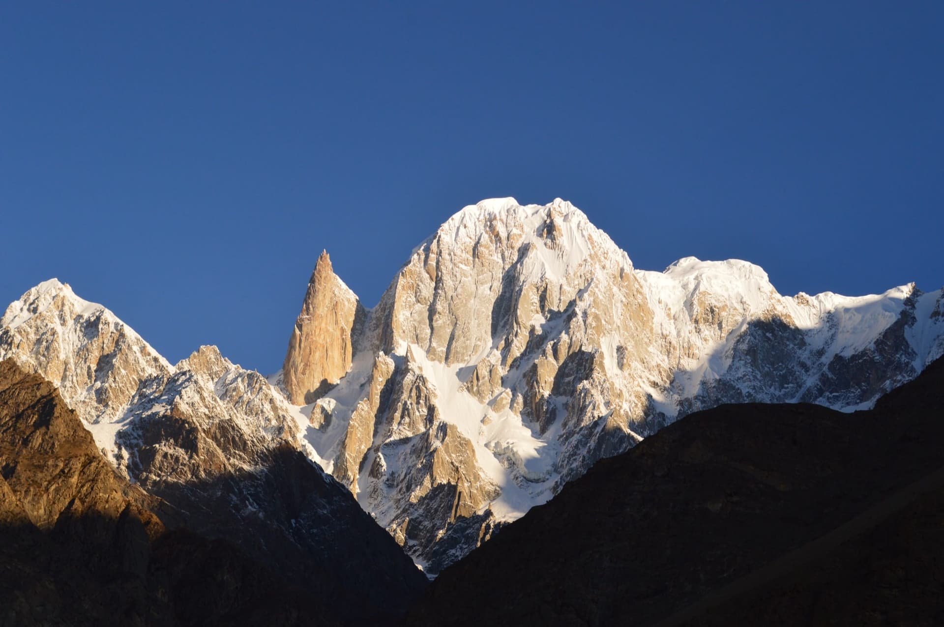
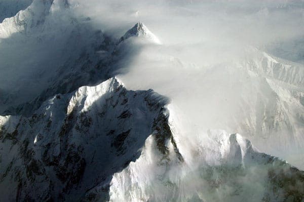
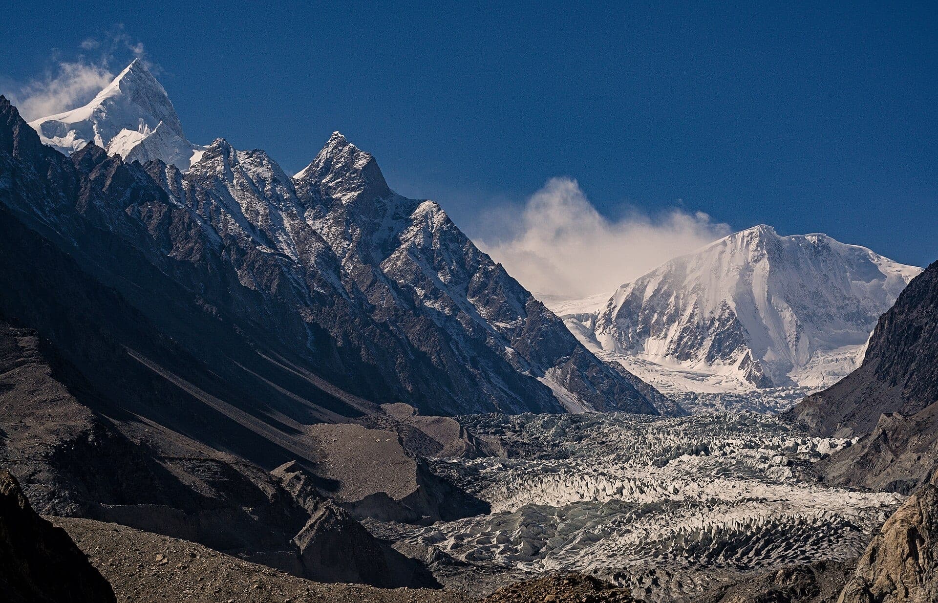
The 7,478 m high point of the Passu massif in the Batura Muztagh, rising above the Passu Glacier in Upper Hunza.
Passu Sar, or Passu I, is the high point of the Passu massif in the Batura Muztagh, a subrange of the Karakoram in Hunza district, standing on the main ridge of the Batura Muztagh about 7 km east of Batura Sar. The massif also includes Passu Diar, or Passu East, and its glaciers feed the Passu Glacier, which flows down towards the Karakoram Highway at Passu village. The date of its first ascent is disputed, between a Japanese–Pakistani expedition of 1978 and a German team in 1994.
Why go
- ✦The high point of the Passu massif
- ✦Above the Passu Glacier
- ✦On the main ridge of the Batura Muztagh
How to Reach
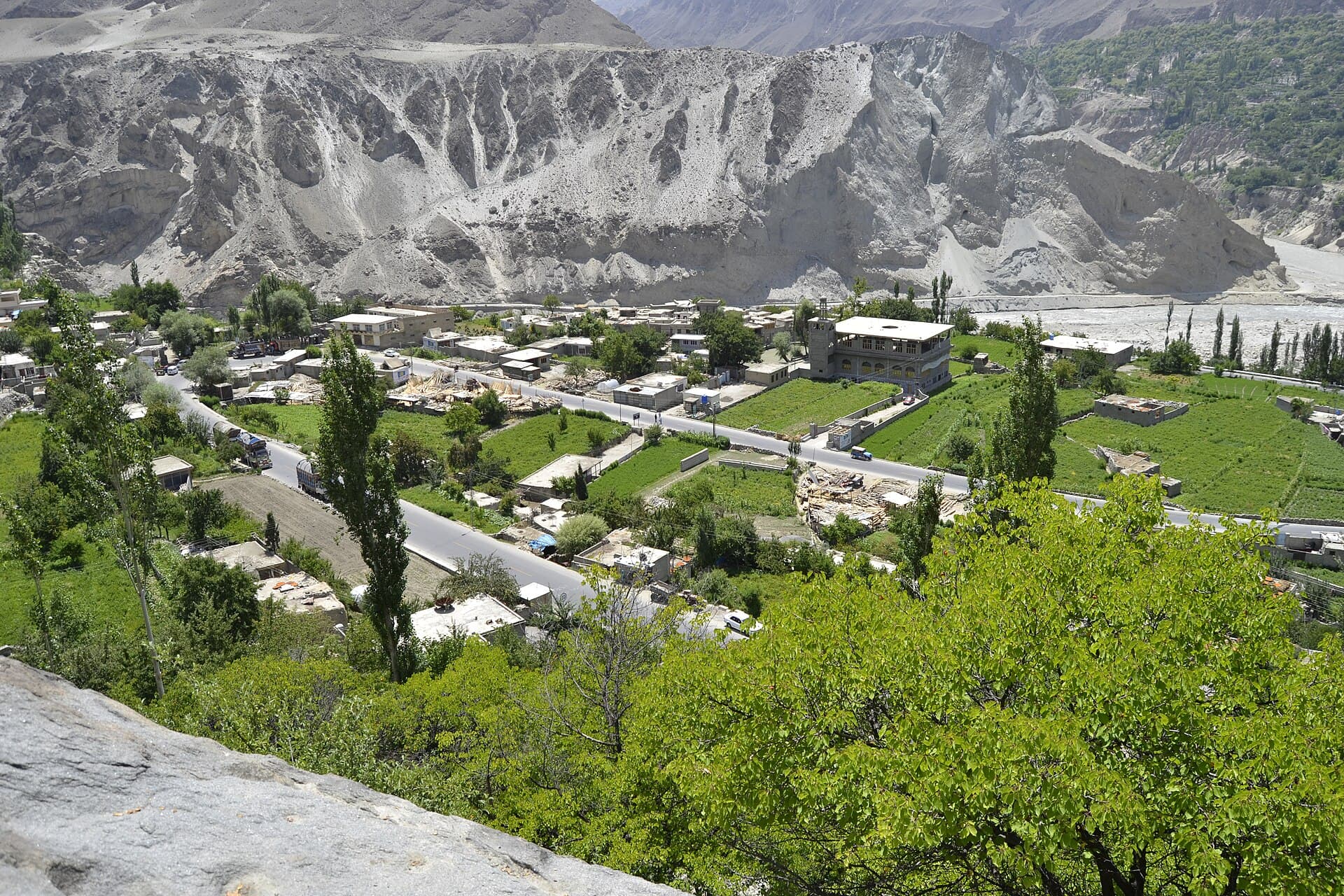
From Passu village on the Karakoram Highway in Upper Hunza; the peak rises above the Passu Glacier to the west.
Planning tip
Best Time to Visit, May to October; autumn brings clear skies over the glacier.
Getting there, From Passu village on the Karakoram Highway in Upper Hunza; the peak rises above the Passu Glacier to the west.
Allow, Half a day for the glacier viewpoints.
What to Do
Nearby
Straight-line distance from Passu Sar, within 5 km.
Nothing else genuinely close by (within 5 km of Passu Sar) is published yet.