Field guides / Khyber Pakhtunkhwa / Usho Valley
Field guide · Nature
Usho Valley
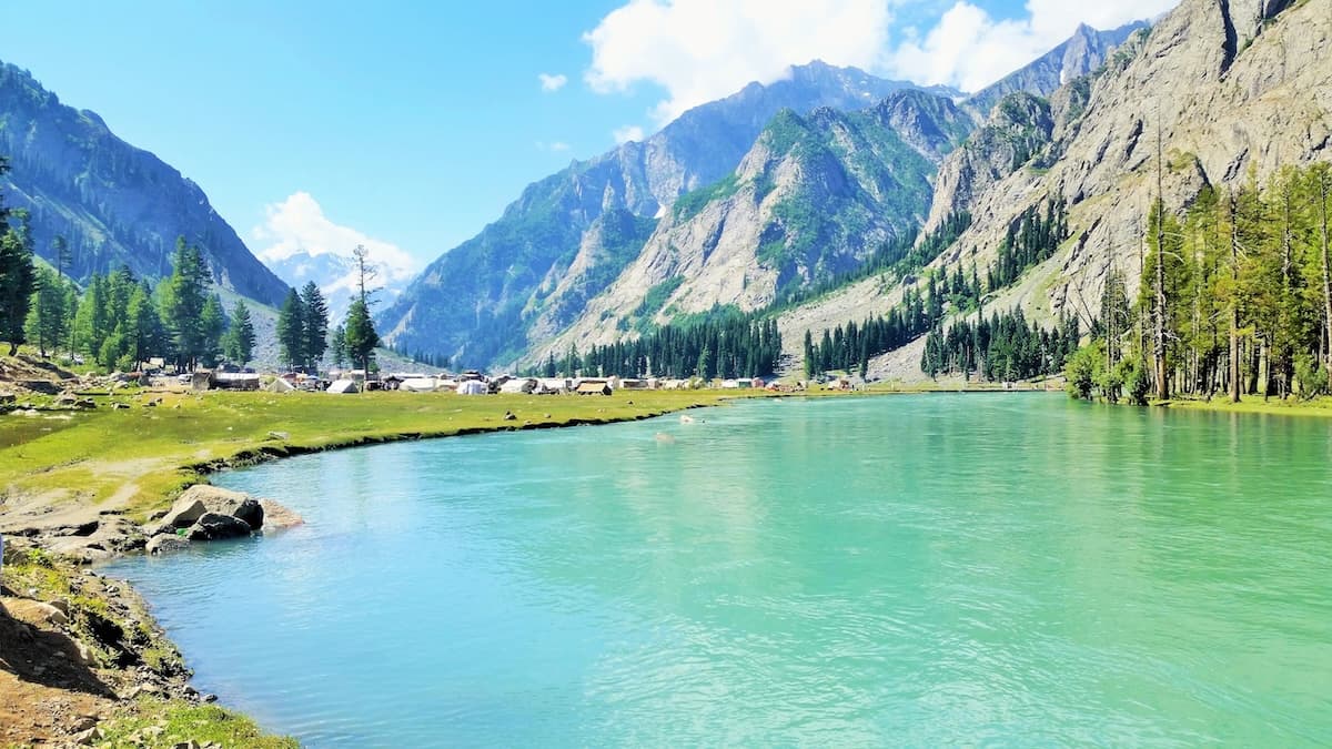
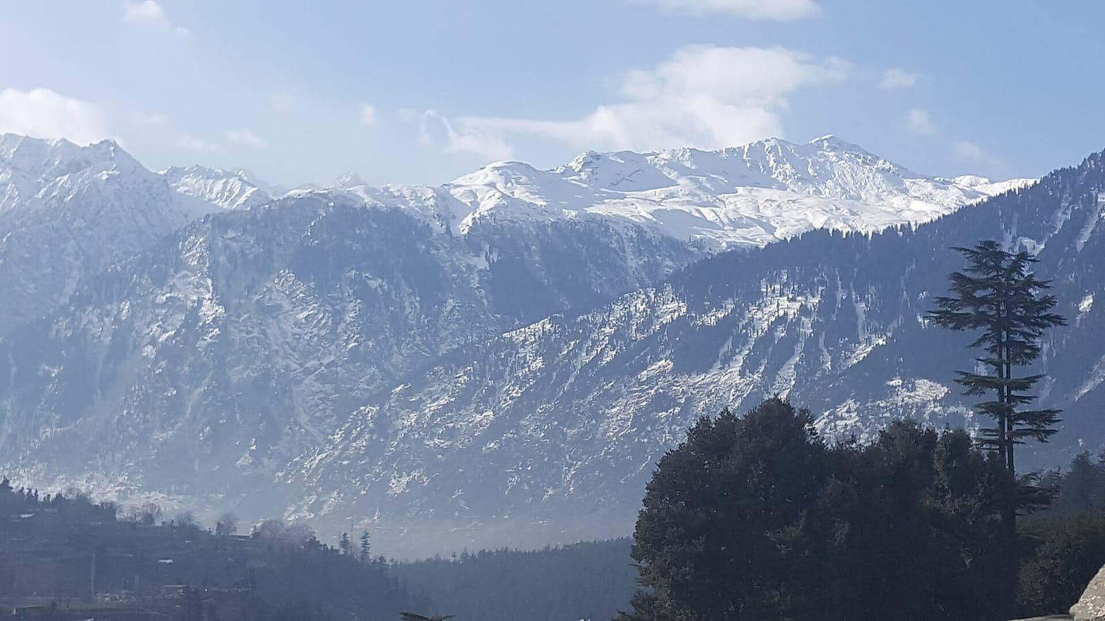
Usho Valley above Kalam in Swat Kohistan: pine and deodar forest, meadows and snow peaks around the Gawri village of Usho at about 2,300 metres.
The village of Usho lies about 8 km beyond Kalam, at around 2,300 metres in Swat Kohistan. The valley is known for its forest and meadows beneath snow peaks, and the road through it continues toward Mahodand Lake. Most of the people here are Gawri, one of the Dardic-speaking communities of upper Swat.
Why go
- ✦Forest and meadows above Kalam
- ✦Meadows and snow-peak views
- ✦On the road to Mahodand Lake
- ✦Gawri villages of Swat Kohistan
History
Usho's name comes from the Gawri word for cold or ice. The village is about 123 km from Mingora.
How to Reach
About 8 km from Kalam on the road toward Matiltan and Mahodand. A 4x4 is useful beyond Usho, and the road can close after heavy rain or snow.
Responsible Travel
Use Leave No Trace principles, carry out all rubbish, avoid disturbing wildlife and livestock, and respect private/community land.
Planning tip
Best Time to Visit, May to September. Snow closes the upper road in winter.
Getting there, About 8 km from Kalam on the road toward Matiltan and Mahodand. A 4x4 is useful beyond Usho, and the road can close after heavy rain or snow.
Allow, Half a day; a full day with Mahodand Lake.
What to Do
Nearby
Straight-line distance from Usho Valley, within 5 km.
Nothing else genuinely close by (within 5 km of Usho Valley) is published yet.