

Field guides / Khyber Pakhtunkhwa / Utror Valley
Field guide · Nature
Utror Valley
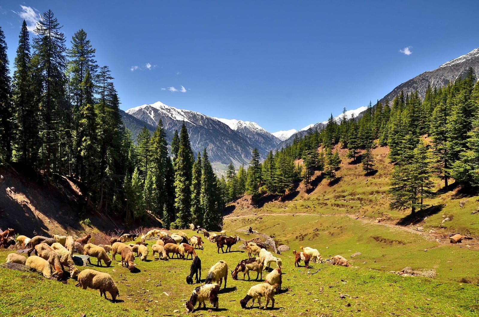
Utror Valley, 16 km from Kalam in Swat Kohistan: green pastures, waterfalls and snow peaks, and the road up to Kundol Lake.
Utror (also Atror) is a valley in Swat Kohistan, 16 km from Kalam and 116 km from Saidu Sharif, surrounded by snow-covered mountains, green pastures and waterfalls. It lies at about 2,300 metres and climbs to 2,900 metres at Kundol Lake. The Badogai Pass links it with Upper Dir and on toward Chitral.
Why go
- ✦Pastures and waterfalls above Kalam
- ✦Gateway to Kundol Lake
- ✦Badogai Pass to Upper Dir
History
Utror is home to the Gawri people of Swat Kohistan; its population was around 16,000 in 2017.
How to Reach
16 km from Kalam by a jeep road; a 4x4 is best.
Planning tip
Best Time to Visit, June to September; snow closes the upper valleys for much of the year.
Getting there, 16 km from Kalam by a jeep road; a 4x4 is best.
Allow, A full day.
What to Do
Nearby
Straight-line distance from Utror Valley, within 5 km.
Nothing else genuinely close by (within 5 km of Utror Valley) is published yet.