
Field guides / Khyber Pakhtunkhwa / Swat Valley / Mankial
Field guide · Nature
Swat
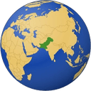
Swat District · Khyber Pakhtunkhwa, Pakistan
Mankial
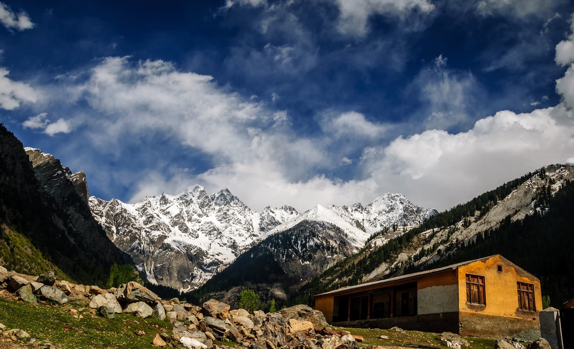
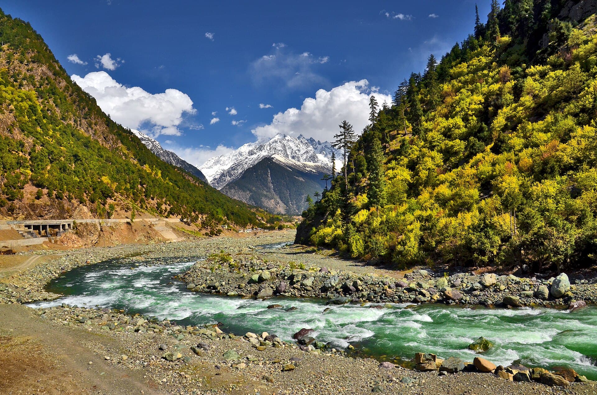
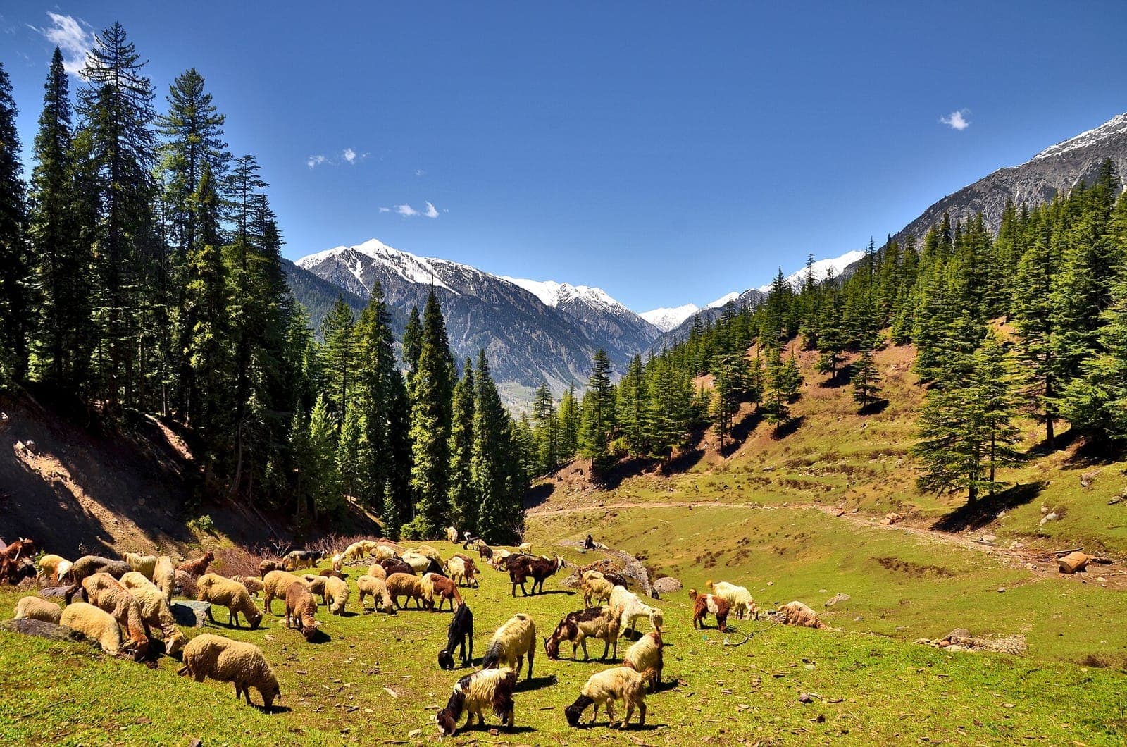
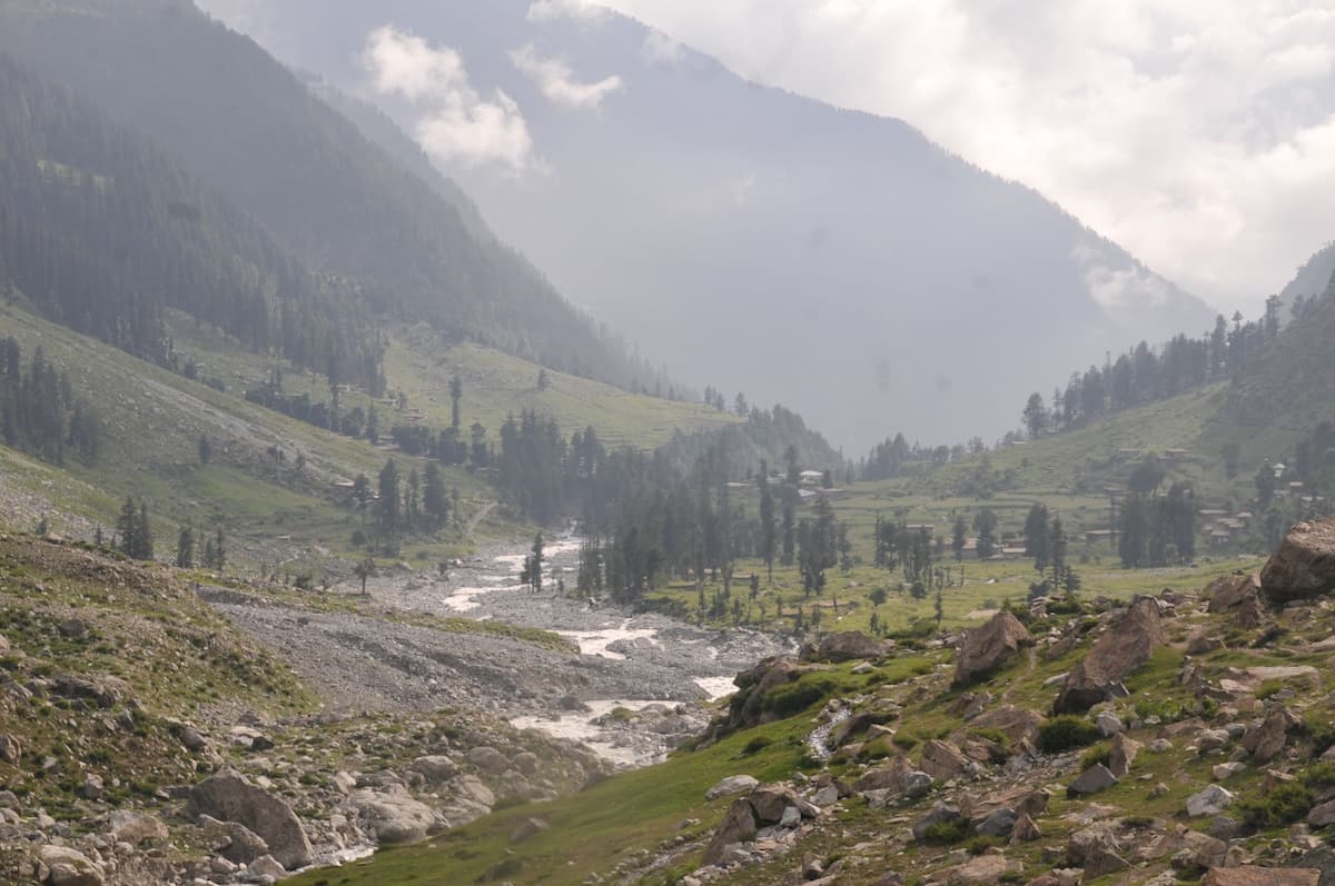
A side valley of upper Swat below Mankial Sar, at 5,722 m the second-highest peak in Swat.
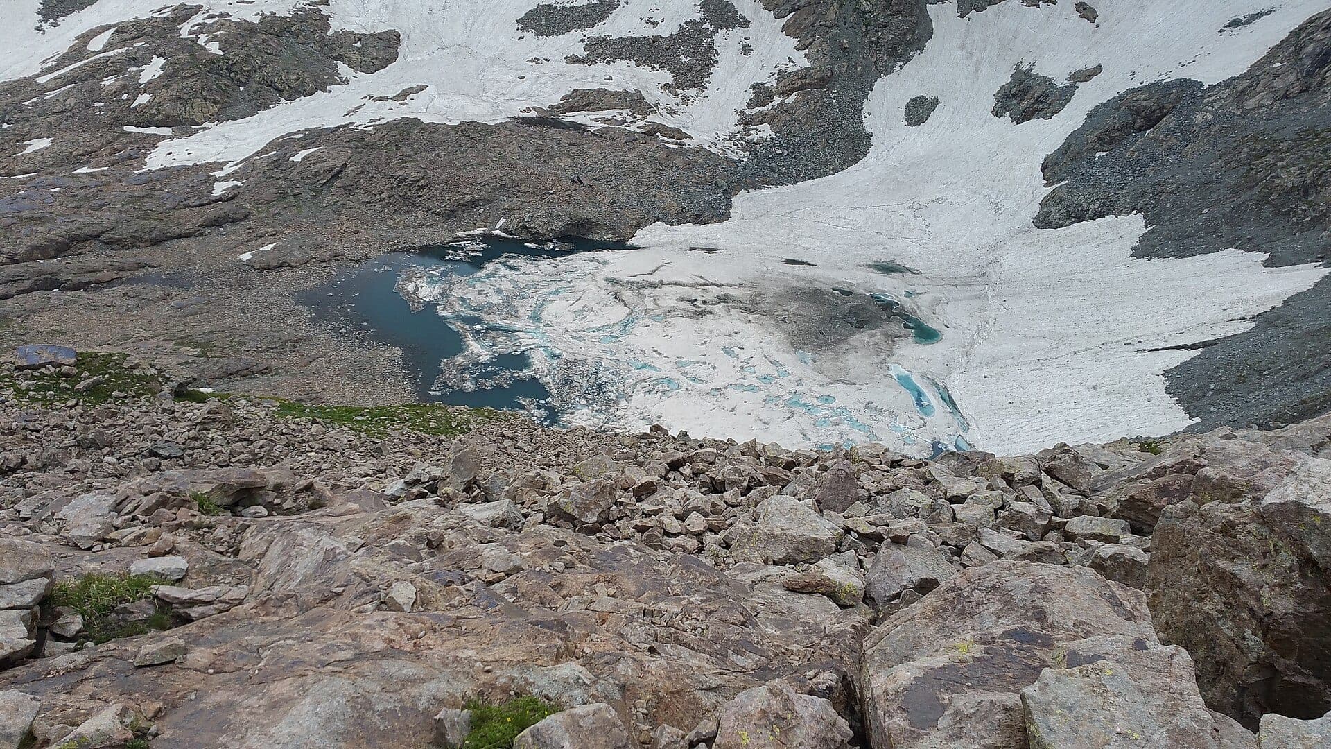
Mankial lies in upper Swat, north-east of Bahrain, under Mankial Sar: a 5,722 m glaciated summit of the Hindu Kush and, after Falak Sar, the second-highest peak in the Swat valley.
Why go
- ✦Views of Mankial Sar, 5,722 m
- ✦Glaciers on the peak's flanks
- ✦A quiet side valley of upper Swat
- ✦Close to Bahrain
About
The peak rises almost 3,920 m above the Swat River in just 11 km, with the Chuklelain Glacier and smaller glaciers on the mountain's flanks. Mankial Sar was first climbed on 28 June 1940 by R. L. Holdsworth, John Martyn, Jack Gibson and the Sherpa Rinsing. The monsoon reaches here from July to mid-September, bringing heavy rain and snow high up.
How to Reach
Up the Swat valley road beyond Mingora to Bahrain, then into the Mankial side valley.
Responsible Travel
Use Leave No Trace principles, carry out all rubbish, avoid disturbing wildlife and livestock, and respect private/community land.
Planning tip
Best Time to Visit, May to June or late September to October, outside the monsoon.
Getting there, Up the Swat valley road beyond Mingora to Bahrain, then into the Mankial side valley.
Allow, A day from Bahrain.
What to Do
Nearby
Straight-line distance from Mankial, within 5 km.
Nothing else genuinely close by (within 5 km of Mankial) is published yet.