 Photo: Designer429 · CC BY-SA 3.0
Field guides / Khyber Pakhtunkhwa / Swat Valley / Swat Valley
Field guide · Nature
Swat
Swat District · Khyber Pakhtunkhwa, Pakistan
Swat Valley
The valley of the Swat River: Buddhist Oddiyana, a former princely state, and a green summer escape.
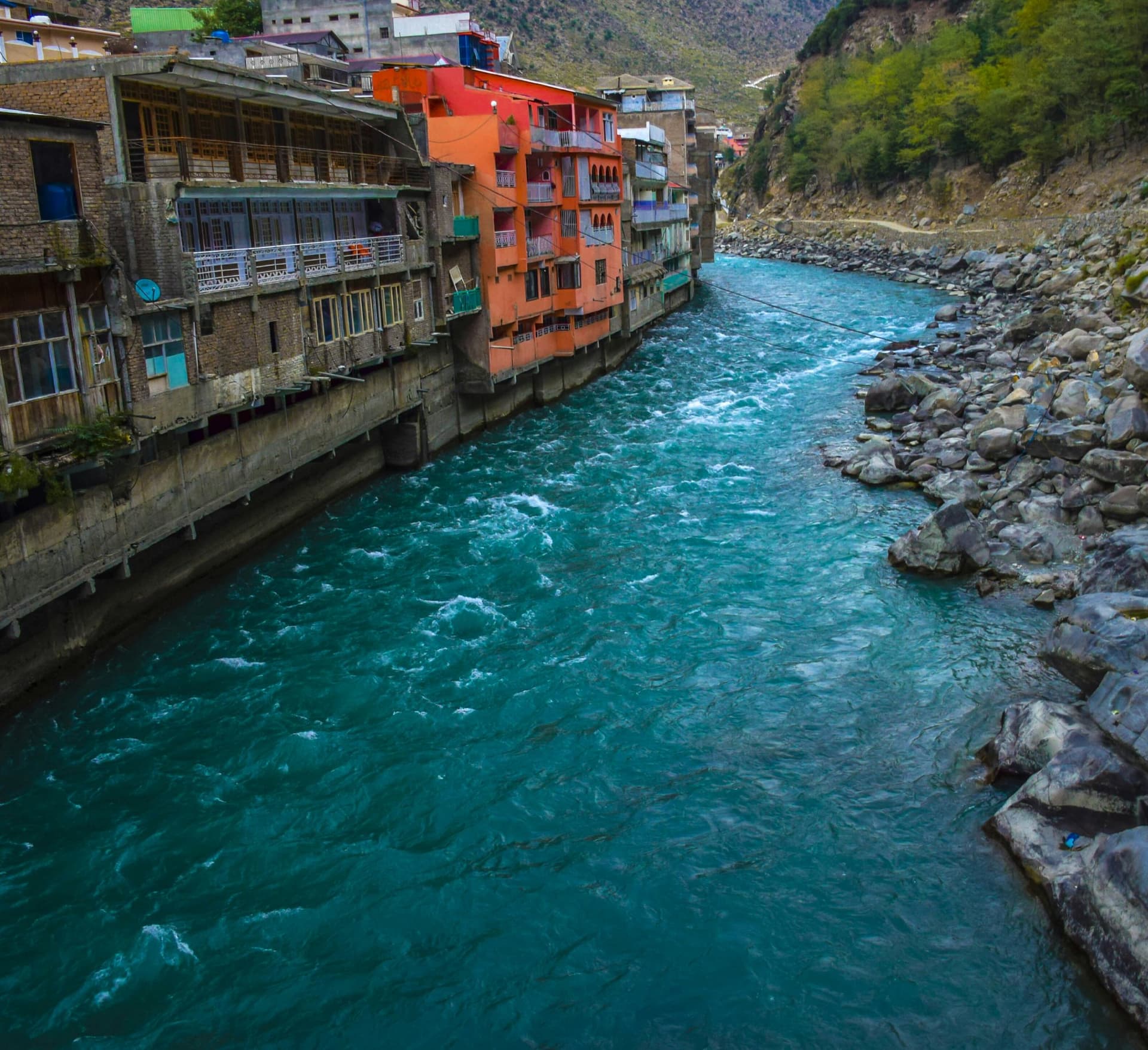
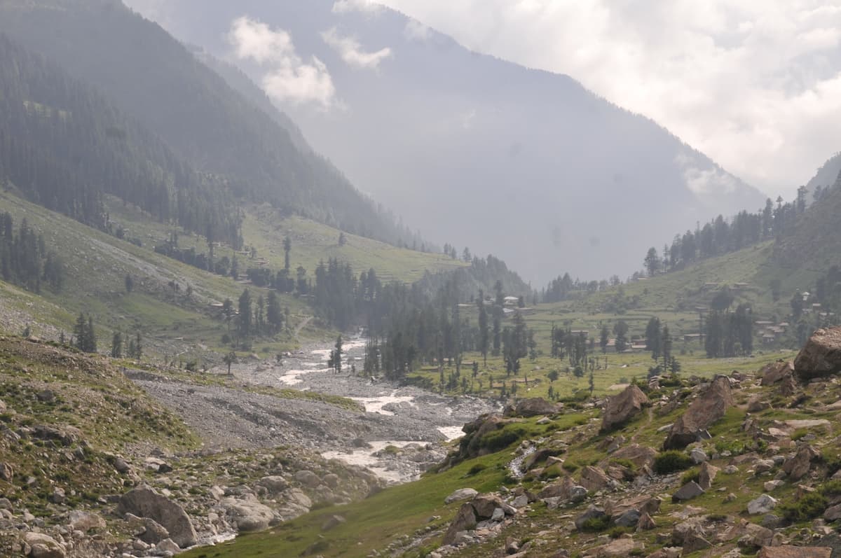
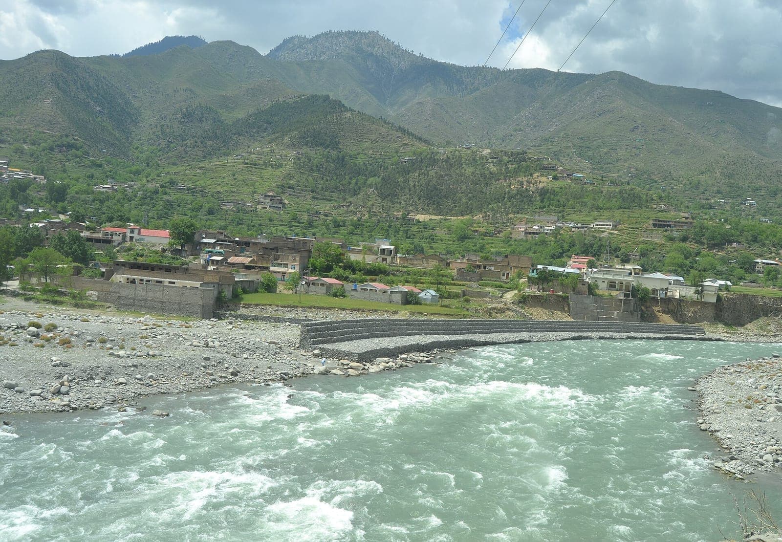
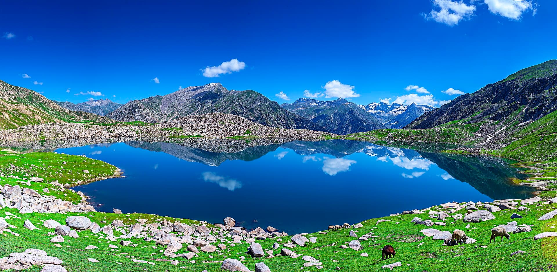
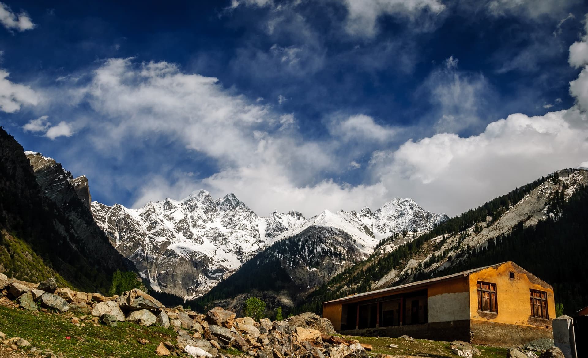
The Swat Valley follows the Swat River through northern Khyber Pakhtunkhwa, at an average of about 980 m, cooler and wetter than most of Pakistan. Forests, alpine meadows and snow peaks make it one of the country's most visited valleys.
Why go
- ✦The Buddhist heritage of ancient Oddiyana
- ✦Forests, meadows and snow peaks
- ✦The former princely state of the Mianguls
- ✦A cool summer climate
About
Swat was a major centre of Gandharan Buddhism and is identified with Oddiyana in Buddhist texts; Buddhism lasted here until the 16th century, and Tibetan monks still came to visit. The Yousafzai Pashtuns took the valley in the early 16th century, and in the 19th it became an independent state under the Miangul dynasty, a princely state from 1918, and part of Pakistan until its merger in 1969. The valley divides into Swat Kohistan, the high mountain country of the upper valley, and Swat proper, split into lower and upper Swat. The river's old Sanskrit name, Suvastu, means “of fair dwellings”; the Greeks called it the Soastus.
History
Swat was a cradle of culture in the second millennium BCE and, after the rise of Gandhara, a centre of early Buddhism ruled in the 1st century CE by the Odiraja dynasty, who claimed descent from the Buddha's Shakya clan. The Ghaznavids defeated the Odi Shahis in the 11th century. The Yousafzais conquered Swat in the early 16th century, pushing the Torwali and Gawri communities north. The Miangul state, founded by the descendants of Saidu Baba, joined Pakistan in 1947 and was merged in 1969.
How to Reach
By the Swat Motorway to Mingora, the valley's main town, then north along the Swat River road.
Responsible Travel
Use Leave No Trace principles, carry out all rubbish, avoid disturbing wildlife and livestock, and respect private/community land.
Planning tip
Best Time to Visit, April to October; upper Swat is best from May to September.
Getting there, By the Swat Motorway to Mingora, the valley's main town, then north along the Swat River road.
Allow, Two to four nights to see lower and upper Swat.
What to Do
Nearby
Straight-line distance from Swat Valley, within 5 km.
Nothing else genuinely close by (within 5 km of Swat Valley) is published yet.