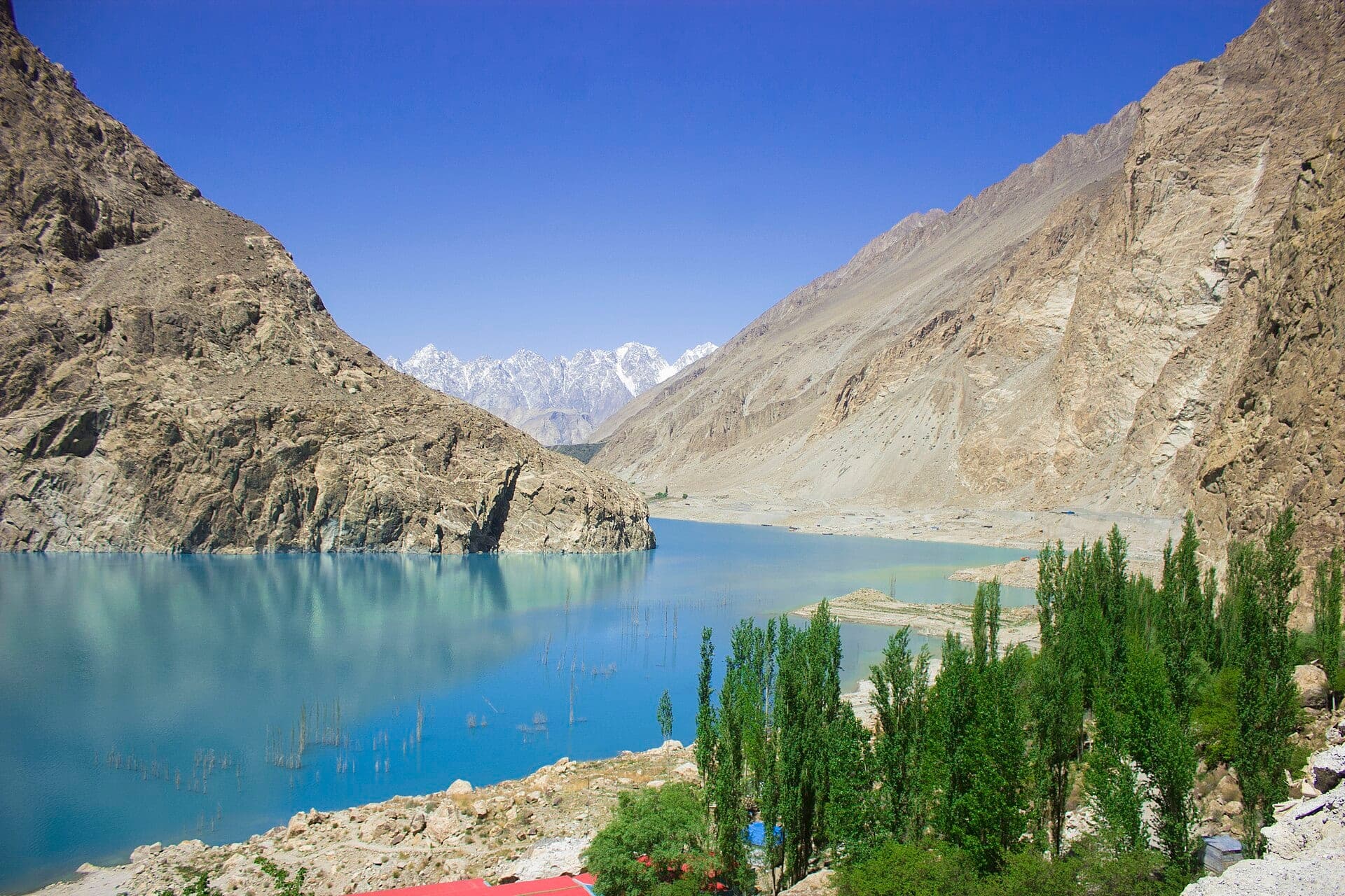
 Photo: Farhan1629 · CC BY-SA 4.0
Field guides / Gilgit Division / Hunza Valley / Gojal (Upper Hunza)
Field guide · Nature
Gilgit Division
Hunza District · Gilgit-Baltistan, Pakistan
Gojal (Upper Hunza)
Upper Hunza: the Wakhi valleys of the Karakoram Highway from Ainabad to the Khunjerab Pass, bordering China and Afghanistan.
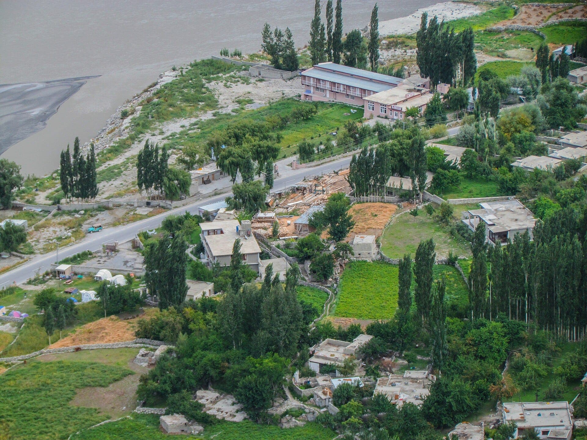
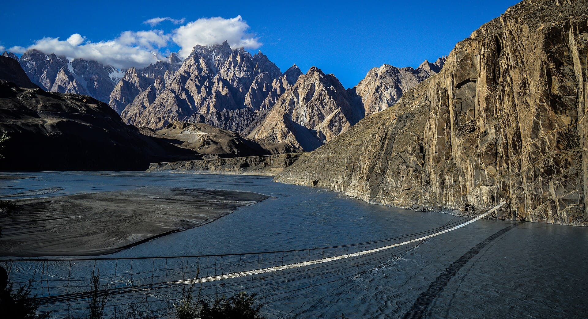
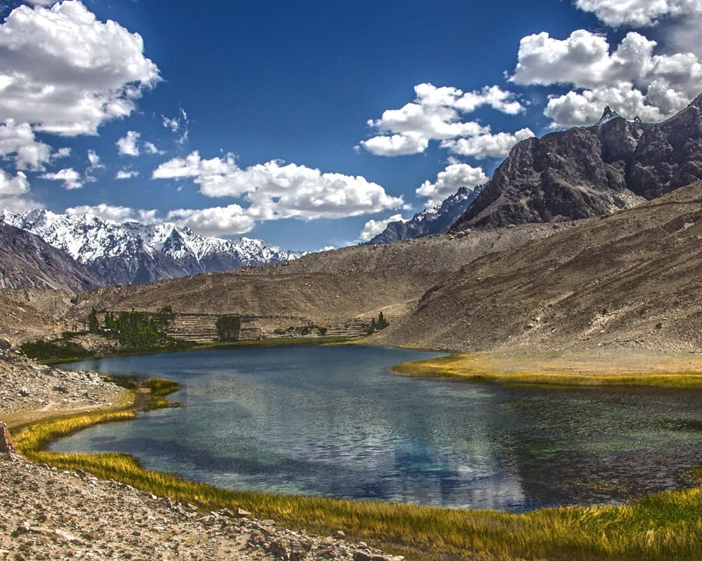
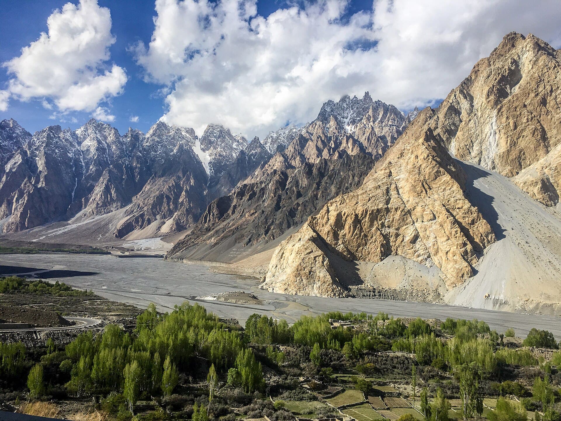
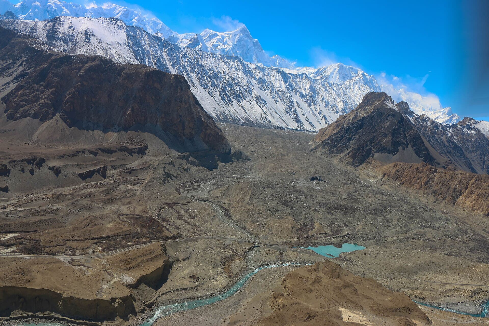
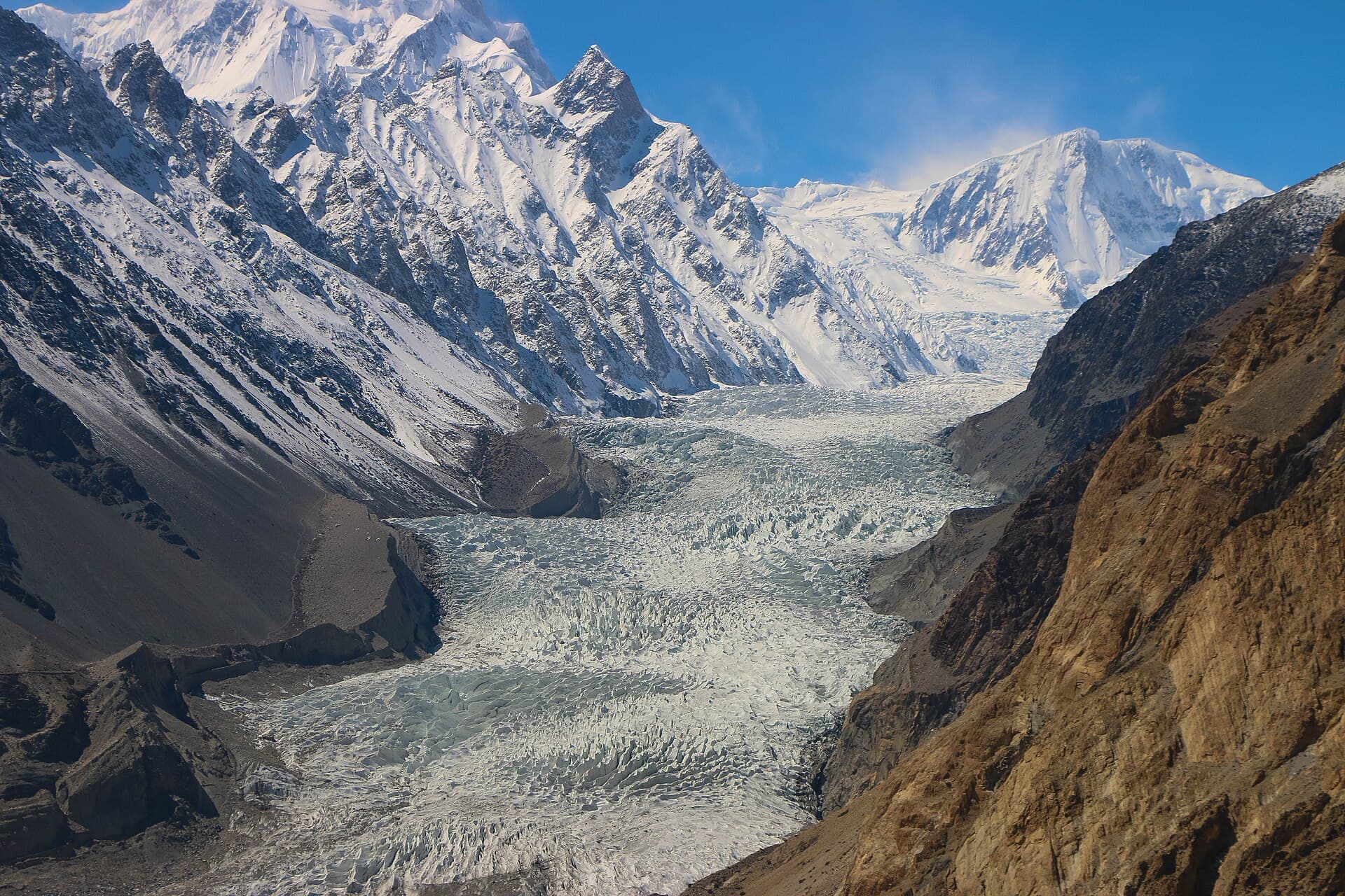
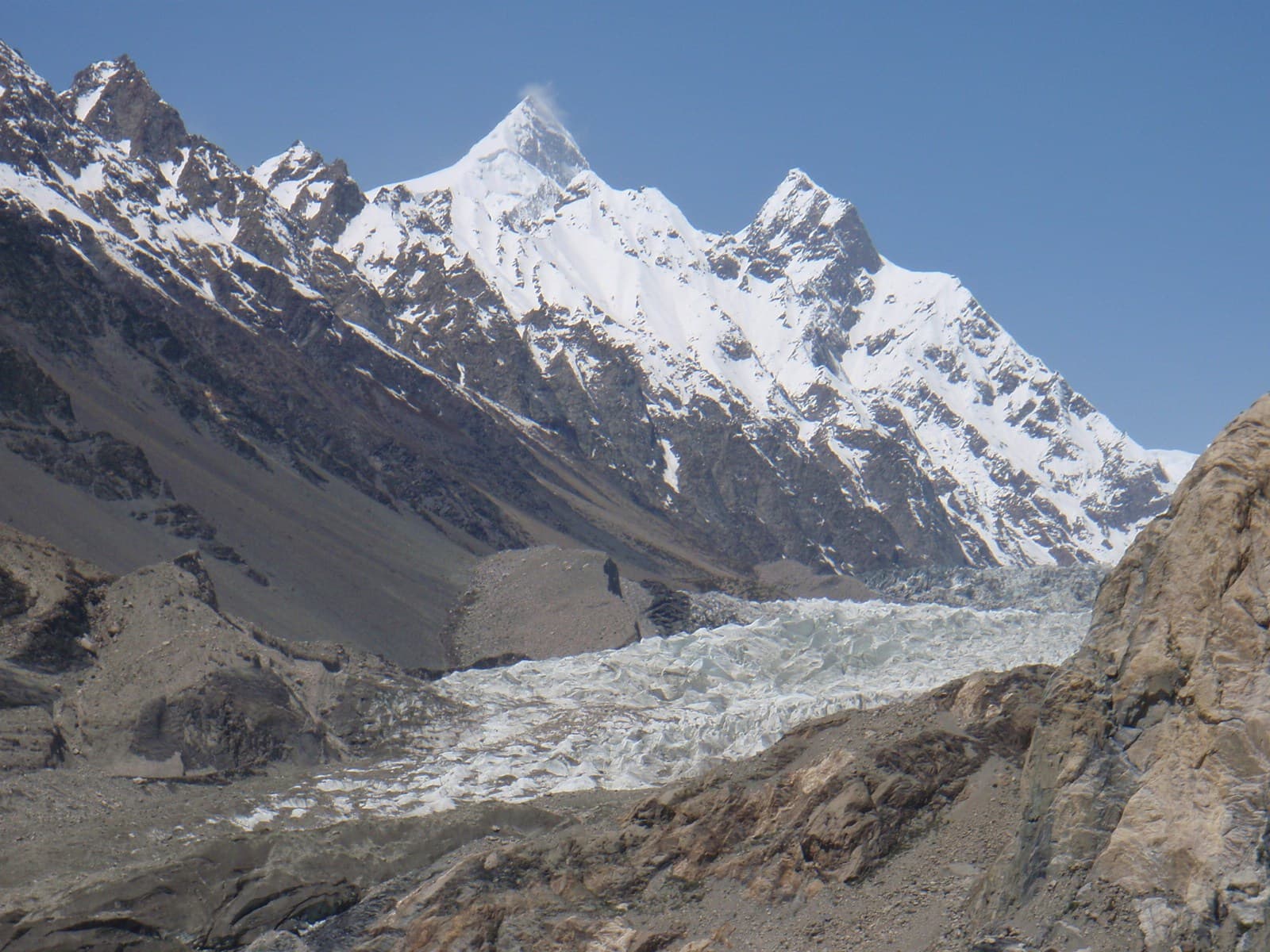
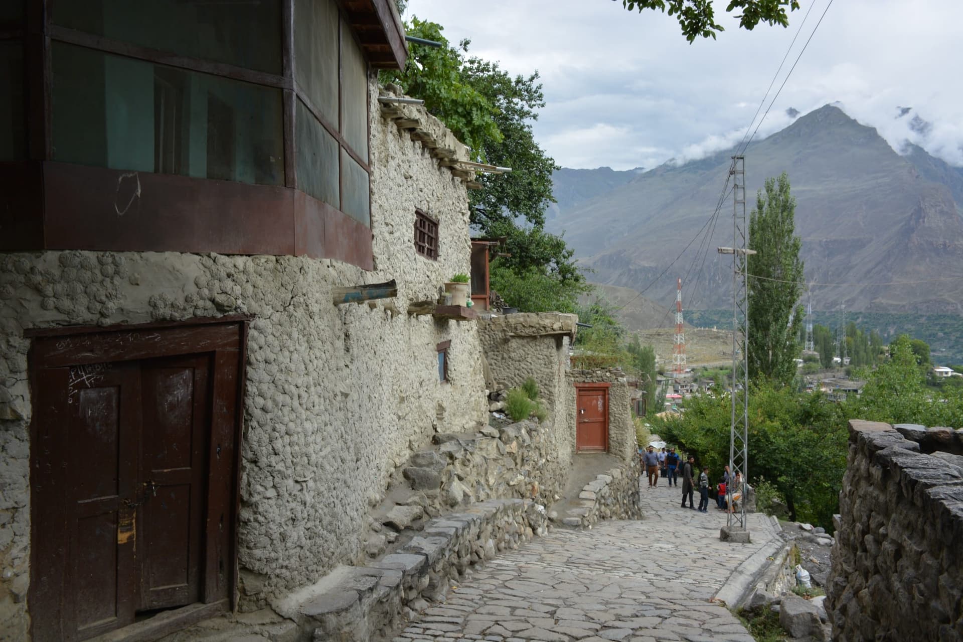
Gojal, also called Upper Hunza, is the largest subdivision of Gilgit-Baltistan, reaching from Ainabad, its first village, to the Khunjerab Pass on the Chinese border and to the Chapursan valley on the Afghan side. Most of its villages can be seen from the Karakoram Highway, which runs through it; only Shimshal, Misgar and Chapursan lie up their own side valleys. Its people are mostly Wakhi, about 20,000 of them Ismaili, whose ancestors came over from Wakhan, while Kyrgyz herders once used the upper valleys as winter pastures.
Why go
- ✦The Wakhi valleys of Upper Hunza
- ✦The Karakoram Highway from Ainabad to Khunjerab
- ✦Side valleys of Shimshal, Misgar and Chapursan
How to Reach
On the Karakoram Highway north of Karimabad, past Attabad Lake; Gulmit, Passu and Sost are its main villages.
Planning tip
Best Time to Visit, April to October; spring blossom in April and golden poplars in late October.
Getting there, On the Karakoram Highway north of Karimabad, past Attabad Lake; Gulmit, Passu and Sost are its main villages.
Allow, Two to four days.
What to Do
Make Gojal (Upper Hunza) Part of a Trip
GreenPak resorts and journeys within 5 km of Gojal (Upper Hunza).
Nearby
Straight-line distance from Gojal (Upper Hunza), within 5 km.