
Field guides / Balochistan / Makran Coast / Kund Malir
Field guide · Nature
Lasbela
Lasbela District · Balochistan, Pakistan
Kund Malir
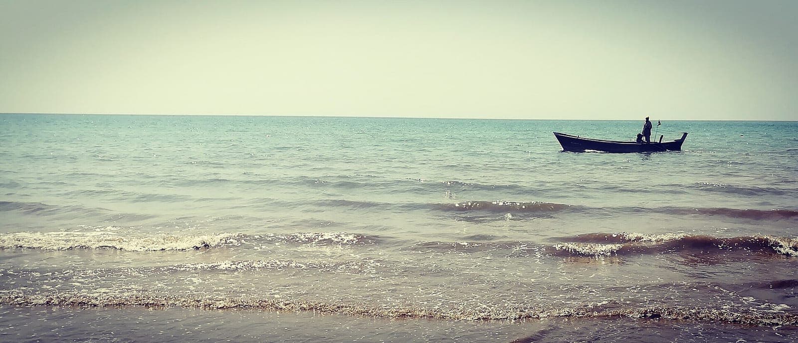
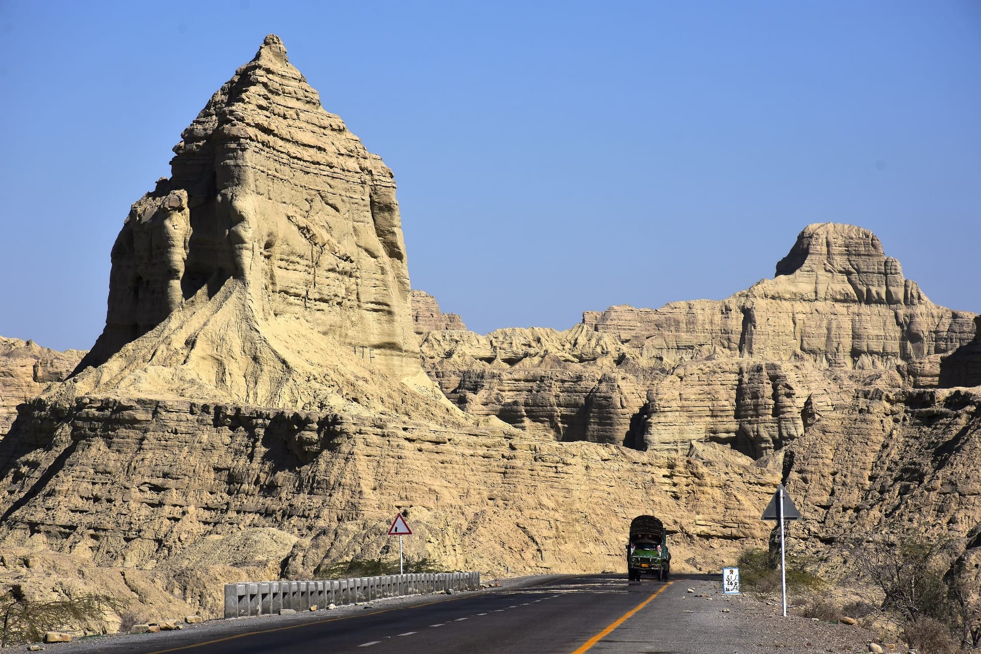
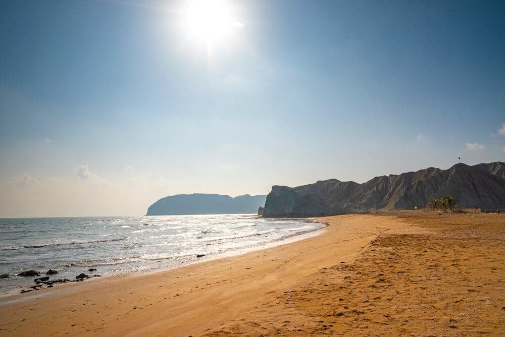
Makran coastal beach route inside the Hingol landscape.
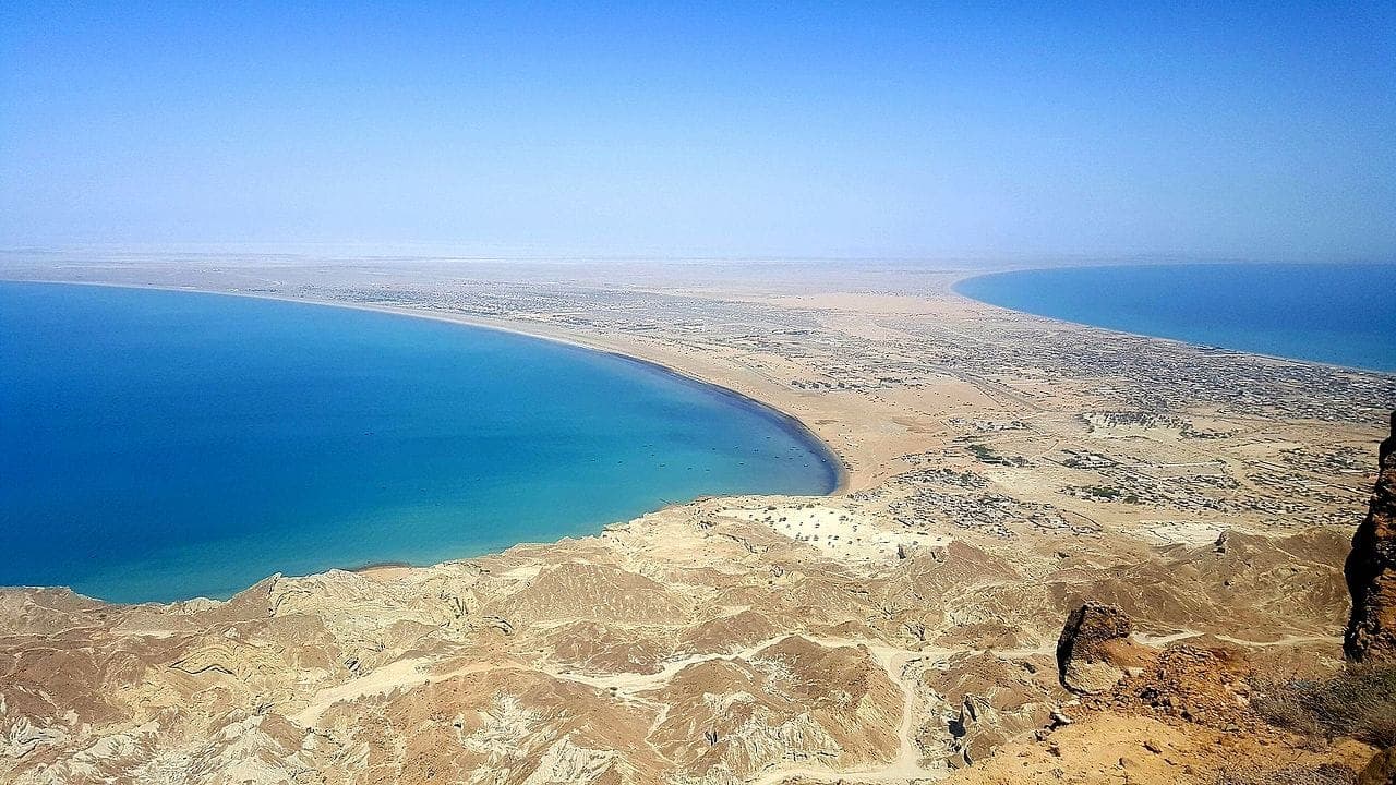
Kund Malir is where the Makran Coastal Highway meets the Arabian Sea, golden sand, rock outcrops, and the sense that the desert has run out of land.
Why go
- ✦Makran Coastal Highway
- ✦Desert-meets-sea
- ✦Hingol day circuit
- ✦Beach stop en route to Gwadar
The Classic Makran Day
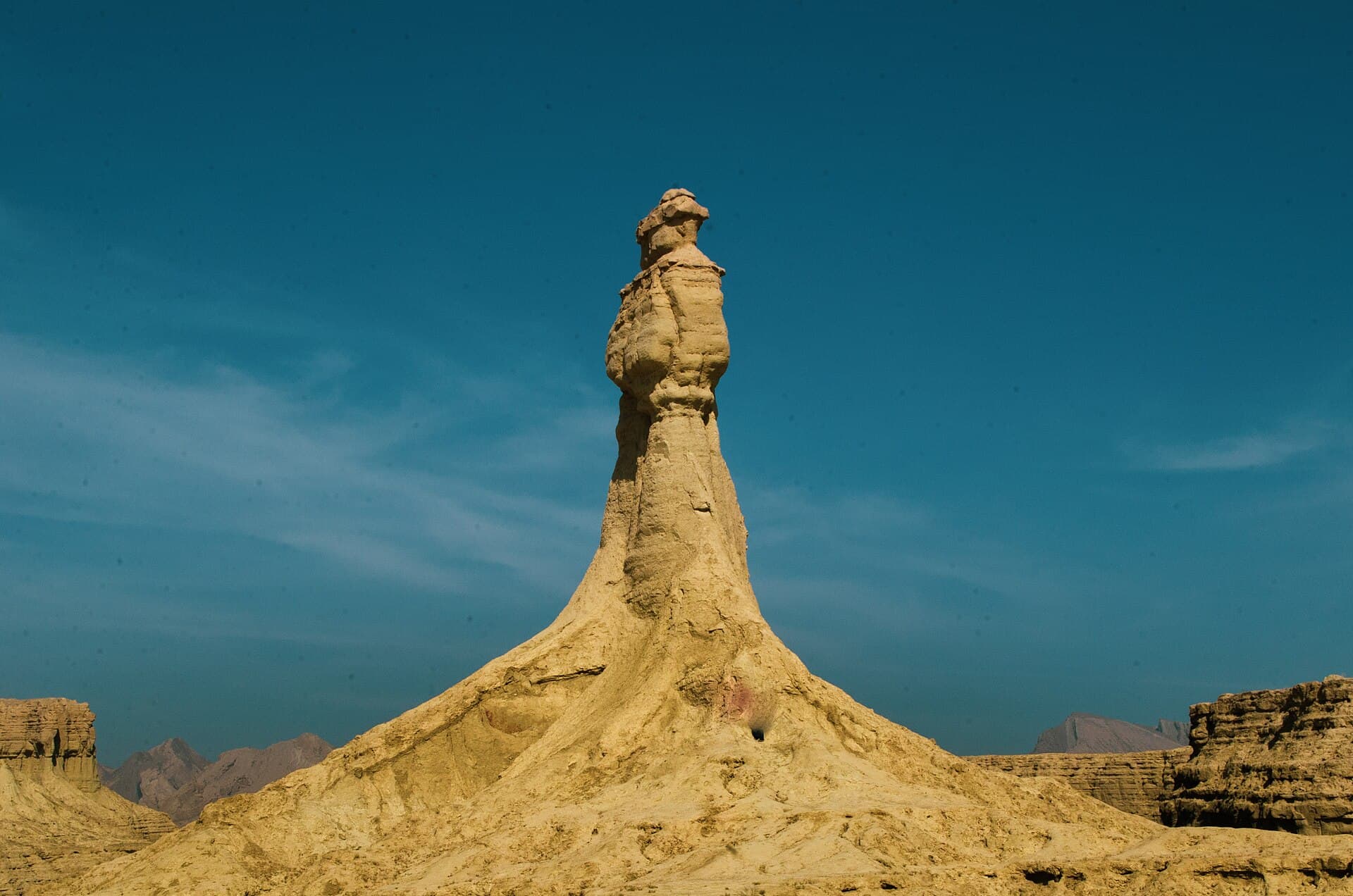
Most travellers string Kund Malir with the Princess of Hope rock formation, Hingol River viewpoints, and a late lunch toward Ormara. Start early from Karachi or overnight at Gadani / Sonmiani.
On the Beach
Swimming is possible in calm seasons but there are no lifeguards, respect undertow and keep vehicles off soft sand. Leave no trace; the coast is ecologically fragile.
Where to Stay
GreenPak Broadbeach Sonmiani and GreenPak Lagoon Gadani bookend the Karachi end of the coast, use them as bases for a two-day Makran run rather than attempting Karachi-Hingol-Karachi in one day.
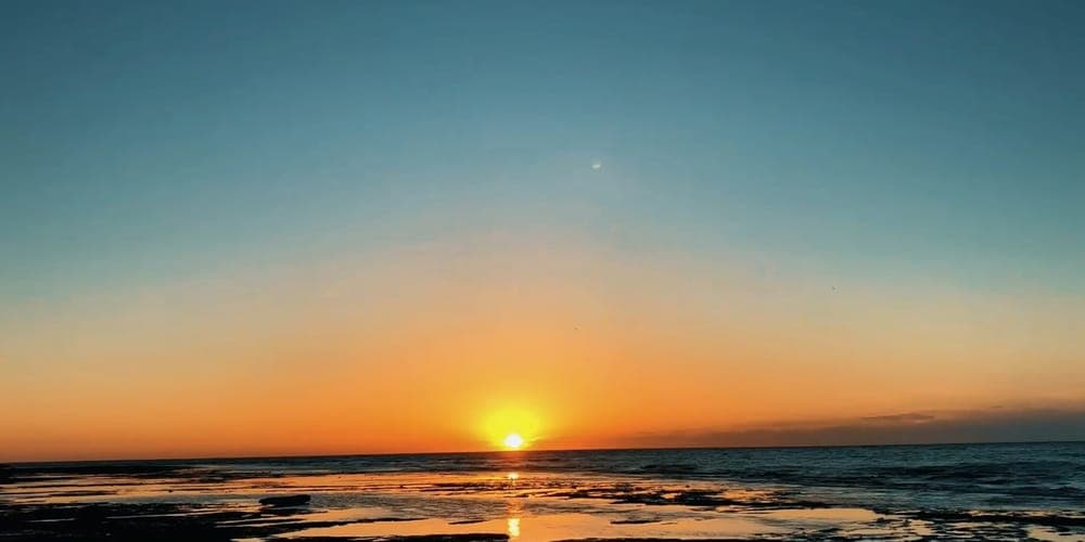
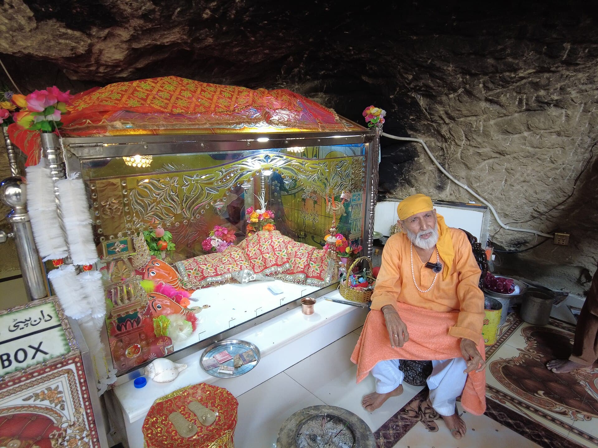
Kund Malir in pictures
Photos: Bilal Mirza from Karachi / Kuala Lumpur/ Hong Kong / Dubai, [Pakistan / Malaysia · CC BY 2.0 · Madihasalam · CC BY-SA 4.0 (3 photos) · Faizalalwani · CC BY-SA 4.0. Each photo's own credit and licence link is shown when you open it.
Planning tip
Best Time to Visit, October through March; summer heat on the sand is brutal and wind is constant.
Getting there, On the Makran Coastal Highway about 240 km west of Karachi, roughly four hours by road, inside Hingol National Park and a standard stop between Hingol and Ormara. The last 150 km from Zero Point have no fuel or food stops, so fill up with fuel and water before leaving Hub; a 4x4 is not needed on the paved highway. Avoid driving at night.
Allow, One to two hours for photos and beach time; half day if combined with Princess of Hope and Hingol.
What to Do
Nearby
Straight-line distance from Kund Malir, within 5 km.
Nothing else genuinely close by (within 5 km of Kund Malir) is published yet.