

 Photo: Imrankhakwani · CC BY-SA 4.0
Field guides / Gilgit-Baltistan / Malubiting
Field guide · Mountains
Malubiting
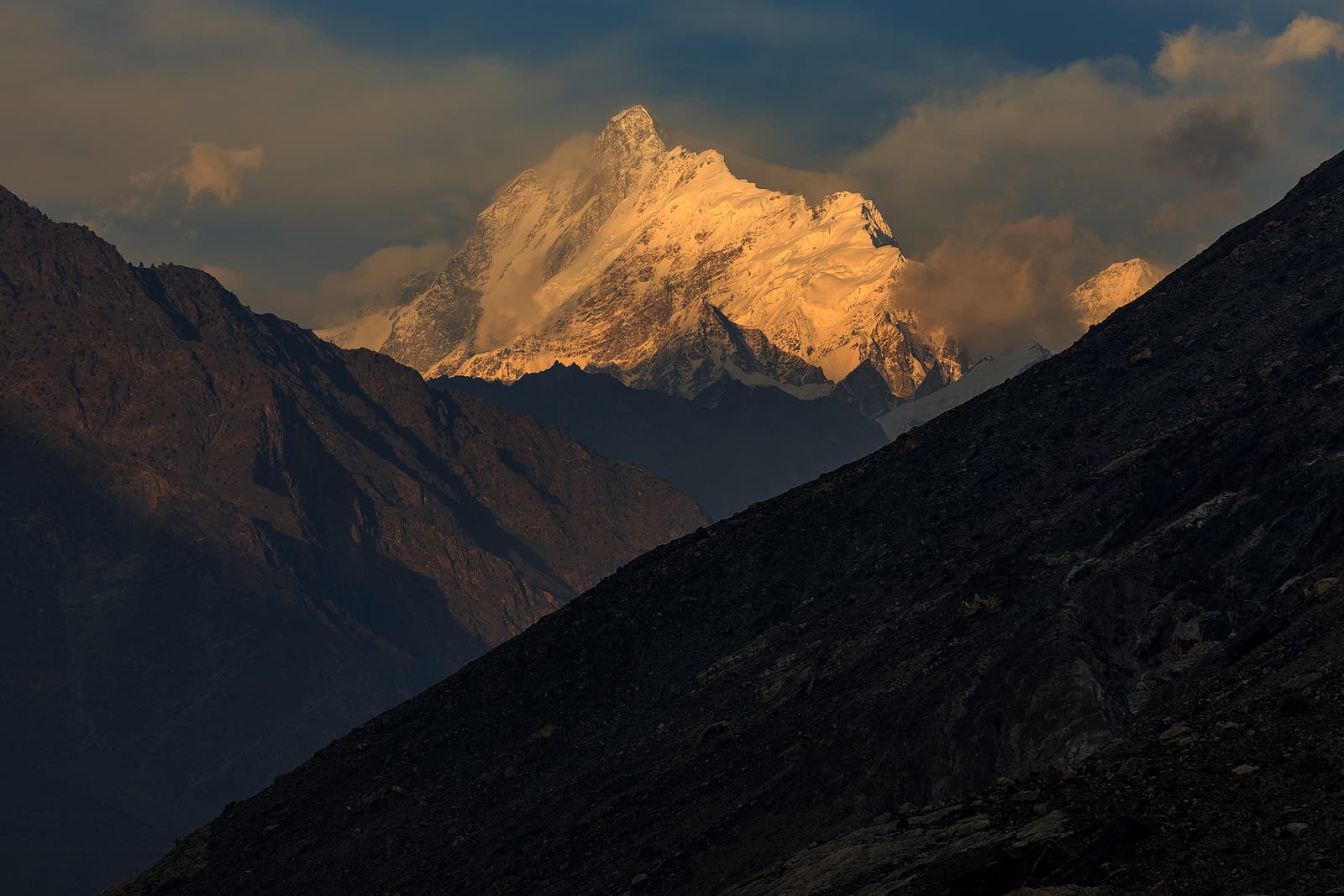
Malubiting, a Rakaposhi–Haramosh peak about 50 km east of Gilgit, seen at sunset from the Gilgit–Skardu road.
Malubiting, also called Malubiting West, is the second-highest peak between the Haramosh and Hispar valleys of the Karakoram, standing at the heart of the Rakaposhi–Haramosh mountains about 50 km east of Gilgit. It rises steeply above Haramosh Jutial village and the Phuparash River, and the Chogo Lungma Glacier starts on its eastern slopes. After six failed attempts, an Austrian team made the first ascent in 1971.
Why go
- ✦Heart of the Rakaposhi–Haramosh mountains
- ✦Source of the Chogo Lungma Glacier
- ✦Seen from the Gilgit–Skardu road
How to Reach
Seen from the Gilgit–Skardu road east of Gilgit; approached on foot from the Haramosh side.
Planning tip
Best Time to Visit, May to October for views.
Getting there, Seen from the Gilgit–Skardu road east of Gilgit; approached on foot from the Haramosh side.
Allow, A roadside stop; treks take several days.
What to Do
Nearby
Straight-line distance from Malubiting, within 5 km.
Nothing else genuinely close by (within 5 km of Malubiting) is published yet.