

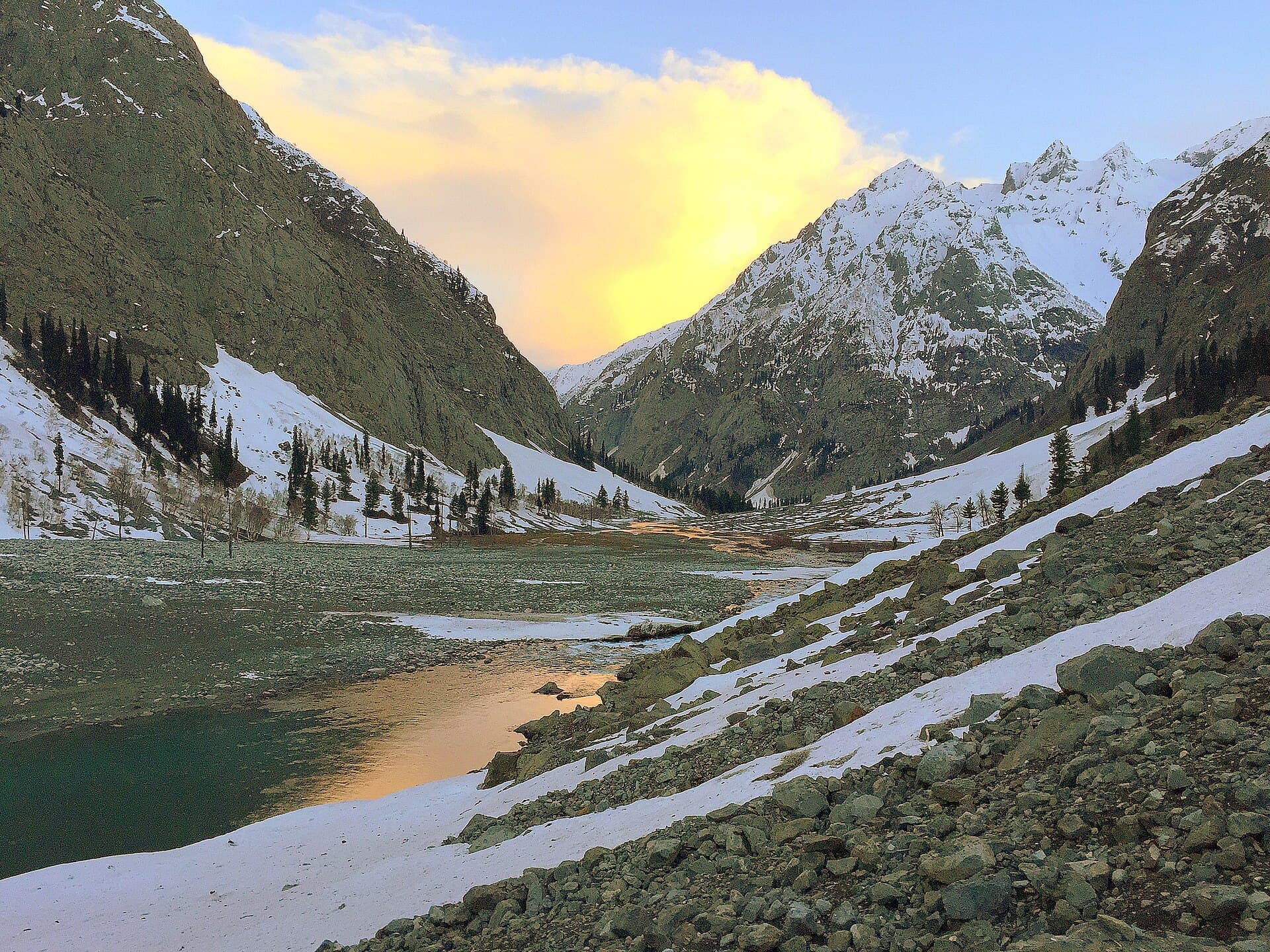
 Photo: Khwajanasirhassan · CC BY-SA 4.0
Field guides / Khyber Pakhtunkhwa / Gabral Valley
Field guide · Nature
Gabral Valley
Gabral Valley, a 38 km side valley north of Kalam whose river joins the Ushu to form the Swat River.
The Gabral Valley opens about 20 km north of Kalam in Upper Swat, at 2,290 metres, and runs some 38 km north toward the Kharakali peak. The Gabral River meets the Ushu at Kalam to form the Swat River. A road follows the river for about 14 km to below Kharkhari Lake; Gujars and Kohistani people live in the valley.
Why go
- ✦Source of the Swat River with the Ushu
- ✦Kharkhari Lake near its upper end
- ✦Forest, river and summer pastures
How to Reach
By road from Kalam, about 20 km north; the road runs about 14 km up the valley.
Planning tip
Best Time to Visit, May to October.
Getting there, By road from Kalam, about 20 km north; the road runs about 14 km up the valley.
Allow, A day from Kalam.
What to Do
Nearby
Straight-line distance from Gabral Valley, within 5 km.
Nothing else genuinely close by (within 5 km of Gabral Valley) is published yet.