 Photo: Mjakhro · CC BY-SA 3.0
Field guides / Sindh / Karoonjhar Mountains
Field guide · Nature
Karoonjhar Mountains
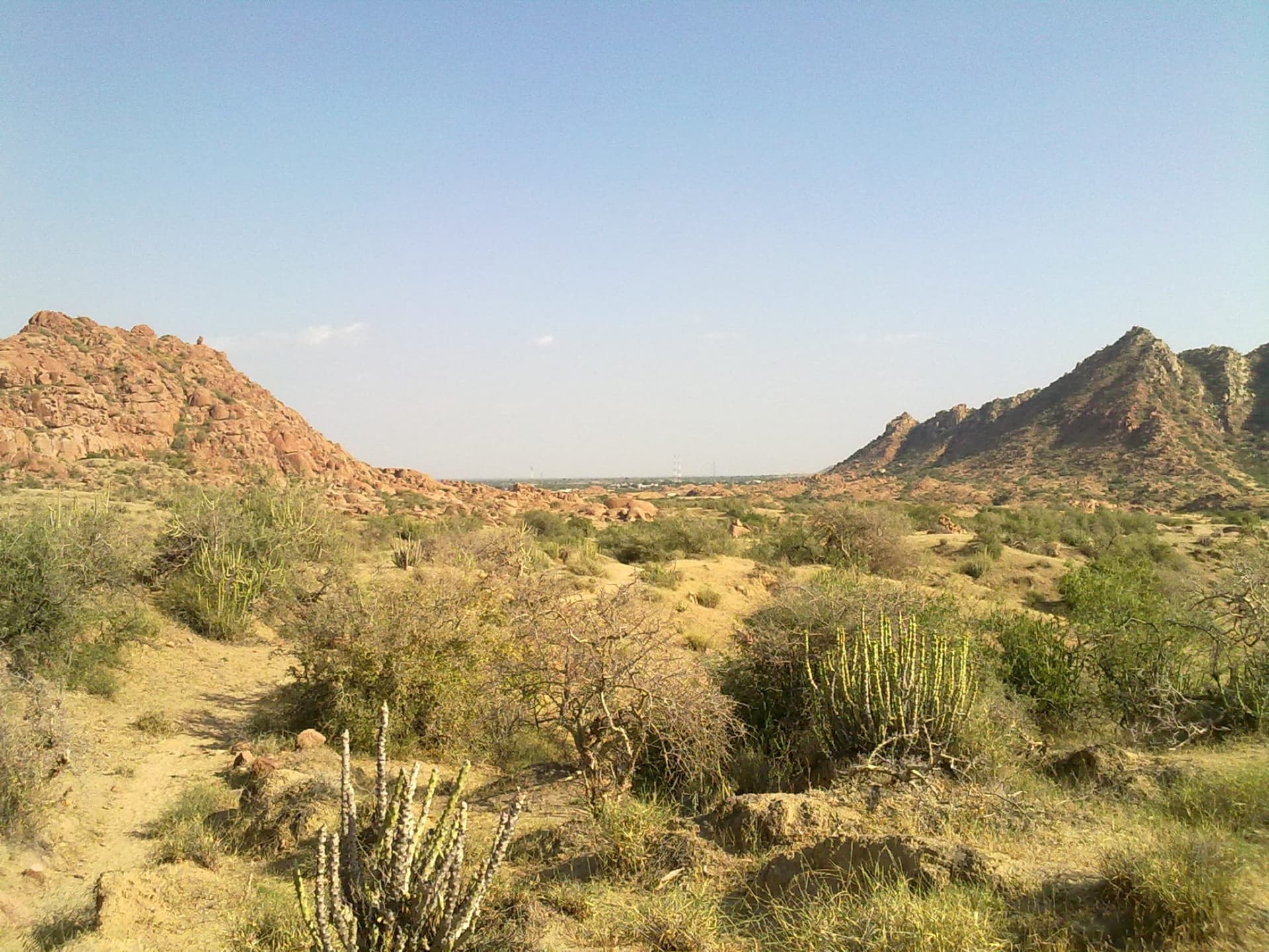
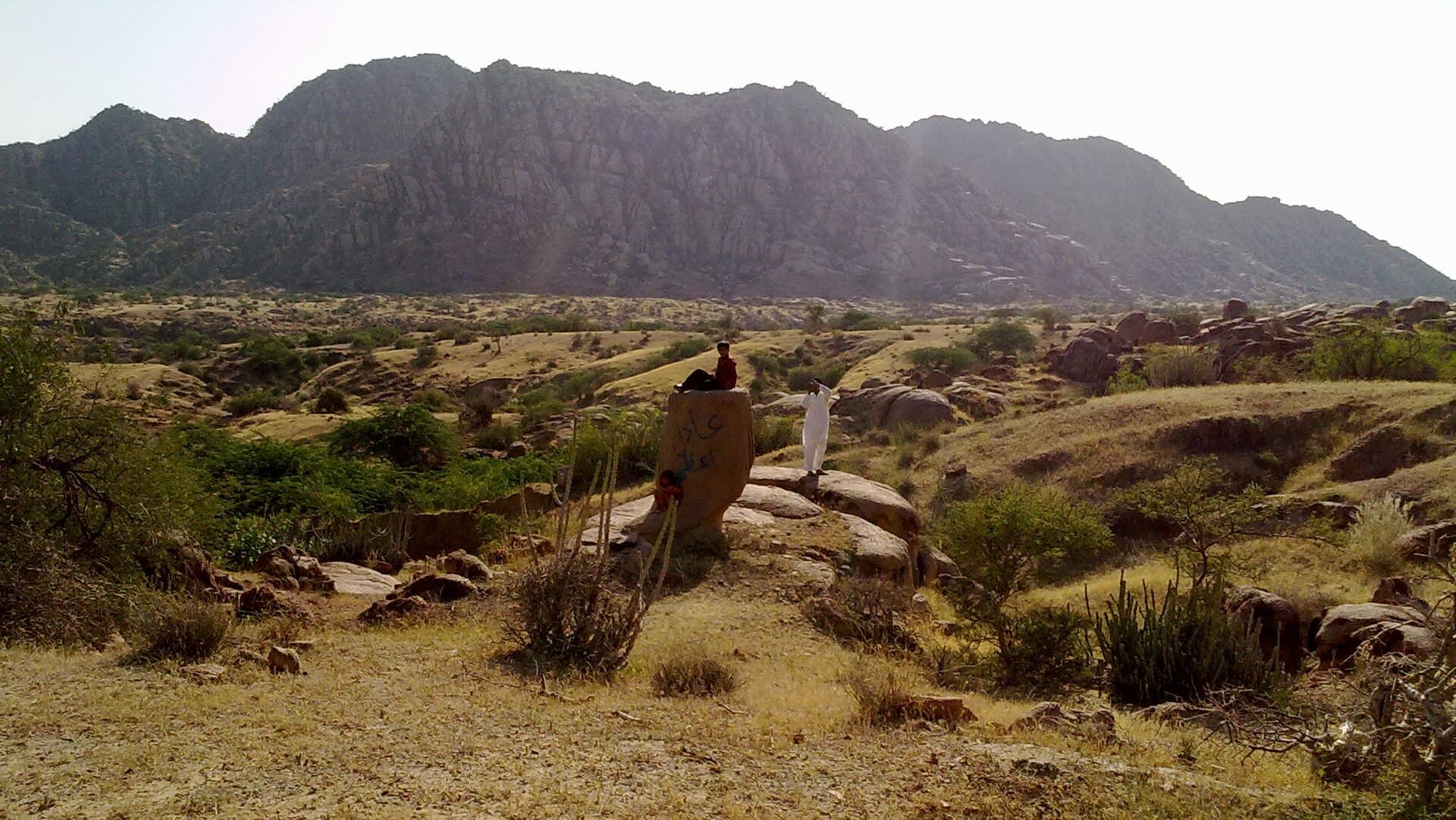
The Karoonjhar Mountains, a 19 km granite range at Nagarparkar on the edge of the Rann of Kutch.
The Karoonjhar Mountains rise at Nagarparkar on the south-eastern edge of Tharparkar District, on the northern edge of the Rann of Kutch. The granite range is about 19 km long and 305 metres high, and is probably an extension of India's Aravalli Range. Two perennial springs, Achleshwar and Sardharo, rise in the hills, which are very different from the desert around them.
Why go
- ✦Pink granite hills on the Thar's edge
- ✦The Achleshwar and Sardharo springs
- ✦Next to Nagarparkar town
How to Reach
By road through Mithi and Islamkot to Nagarparkar, in Tharparkar District.
Planning tip
Best Time to Visit, November to February is cooler; after the monsoon rains, streams run down from the hills.
Getting there, By road through Mithi and Islamkot to Nagarparkar, in Tharparkar District.
Allow, A day.
What to Do
Nearby
Straight-line distance from Karoonjhar Mountains, within 5 km.